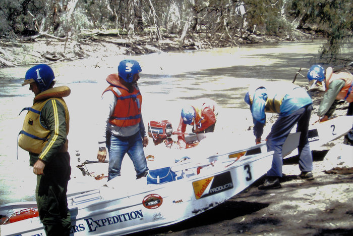
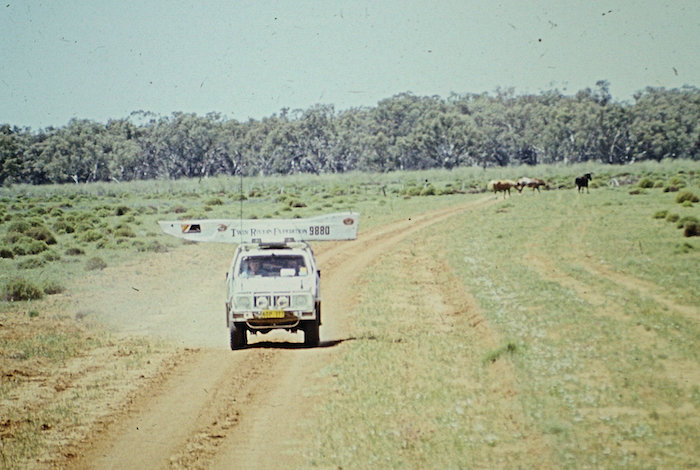
The Twin Rivers Expedition was our third major power dinghy expedition after the Murray River Expedition and Darling Descent ’82. Interestingly, no expeditions of similar magnitude have been attempted in the intervening years, except for the 2000 kilometre Murray River Expedition ’93.
In October/November of 1985 ten men in three power dinghies tackled the Lachlan and Murrumbidgee rivers in what was the first time an end-to-end boating trip had been attempted. Apart from this Trip Report and extensive local and national media coverage, the 2000 kilometre Twin Rivers Expedition was filmed for news features on the Nine Network.
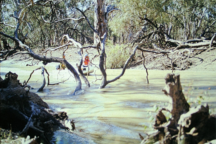
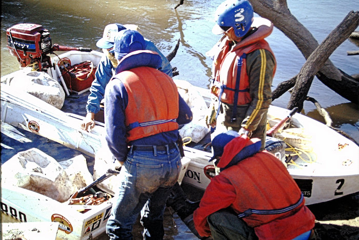
The quality of some of the photographs in this Trip Report is less than would normally be expected, however, they have been included because of historical interest.
Pre Trip
This was the third expedition for Coordinator Kim Epton and veteran power dinghy racer, John Haynes. Mario Ambrosino, David Whitney, Steve Palmer, Richard Urban, Les Simpson and Mark Whittome had each been on a previous expedition. It was a first up trip for Geoff Rumsey and the expedition’s photographer, Neil Eliot from The Sunday Times, part of News Ltd.
- Mario, Steve and Kim in a pre-expedition publicity photo.
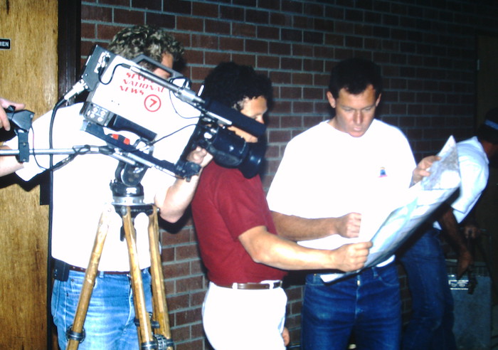
Prior to our departure, Channel 7 gave the expedition a lot of publicity.
- Channel 7 sports reporter Chris Young interviewing Kim on departure day.
- Historically interesting background.
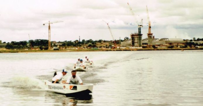
- Keeping in formation is not as easy as it looks.
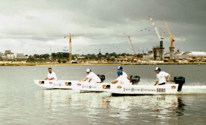
- On the Swan River at Burswood.
- Expedition boats at Burswood just before departure.
[One of the problems of organising an expedition to the other side of Australia from Western Australia (pre Internet days) was the lack of knowledge of local conditions. The information is available but finding who can pass it on is just as hard as finding it our first hand.]
And so it was with the Twin Rivers Expedition – numerous difficulties were encountered because of a lack of or incomplete knowledge of the areas through which we were passing.
Getting There
Ten hardy adventurers set out from Perth on 26 October 1985, aiming to conquer the Lachlan and Murrumbidgee Rivers in New South Wales.
- Mario strengthening drawbar/hitch of expedition trailer.
- Ready to leave.
- Tying the load back on after having to remove it to fit through the shed door.
- Richard checks the thermostat on the truck.
The 3200 kilometre drive to Oxley, NSW across three States was not without incident. Mechanical issues with the truck on the road were rectified by David and Les. While that was happening some of the other crew needed a distraction.
- Closest to the line gets all the coins.
- Flip the coin closest to the line to win.
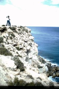
- Suzuki Siera and Truck/trailer combination at a Bunda Cliffs lookout.
- Overlooking the Great Australian Bight. from the Bunda Cliffs.
- Viewing the Southern Ocean from the Bunda Cliffs.
The long, lonely drive across Australia on the Eyre Highway provided the opportunity for some unique photos and film footage.
- Mark filming from roof of Suzuki.
- On the Eyre Highway. Pic taken from the top of truck.
- Interesting perspective considering the location of the photographer.
- Mark checks his camera. David was the photographer on the top of the truck.
As was the case with previous expeditions just getting there was an expedition in itself. The drive across the Nullarbor is never easy, especially when pushing a schedule.
After four days of solid driving the destination (Lachlan/Murrumbidgee confluence) was in sight. We had reached the Lachlan River.
The Lachlan River is the third longest river in Australia at 1553 kilometres, starting west of Goulburn in the Great Divide at an elevation around 1200 metres and terminating at the Great Cumbungi Swamp near Oxley.
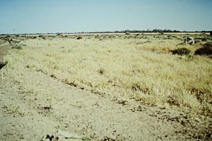
- The line of trees in the background is the Murrumbidgee River.
Up the Lachlan
Day -1 Tuesday 29 October 1985
Downriver from Oxley
At Redbank Weir on the Murrumbidgee River (near the end of the Lachlan River) a visit to the Weir Keeper revealed that the Lachlan River does not flow into the Murrumbidgee. A series of weirs, locks and barrages have stopped its flow some five kilometres short of the ‘Bidgee. But more bad news was to follow. The impenetrable Great Cumbungi Swamp covers a mighty expanse of country at the end of the Lachlan (tales are told of people being lost in the reed beds for days/weeks at a time). The decision was made to start the expedition above the Swamp, with the tiny hamlet of Oxley, NSW, as the logical starting place. A more broken down, ramshackle, isolated, sorry place would be hard to find. The road describes a dog leg through this dot on the map, thereby forcing travellers to slow down and enjoy its civic splendour.
- The Oxley campsite coming to life with the sunrise.
After the various parties assembled in Oxley it was time for some testing. Mario and David, and Steve and Neil made an exploratory test run downriver towards the Great Cumbungi Swamp.
- The beauty of willow trees adds so much to waterways in the Riverina but some completely block the river, particularly in the lower Lachlan.
It was narrow, just flowing, with lots of logs and rushes all across the river. Congestion never seen on a river in Western Australia until the Upper Blackwood Expedition in 1994.
Just before dark they returned with the unpromising news that they had travelled only a couple of kilometres due to thick sludge and weeds blocking propellers and water pickups. Mario and David’s motor was clogged with weed and needed towing back to camp, suspected of being ‘cooked’.
Talks with the locals suggested that we should take cover when we heard the sound of a 747 – signalling the arrival of man eating mosquitoes.
The evening was spent making last minute preparations on the boats and motors, ready for the journey up the Lachlan River.
- Richard, Neil and Kim playing cards – somebody else was looking after boats.
This is a contemporary map of the Lower Lachlan River (Great Cumbumgi Swamp to Oxley) ex Department of Climate Change, Energy, the Environment and Water. Detail such as shown on this map was unavailable at the time of the Twin Rivers Expedition.
The map below, another contemporary production, shows the entirety of the Lachlan River, from its source near Goulburn to its terminus at the Murrumbidgee River.

Day 1 Wednesday 30 October 1985
Oxley to Ulonga Station
Day One of river travel started at Oxley, heading up the Lachlan.
[Coordination of boat crews, Suzuki Sierra crew and truck crew was managed by radio and face to face communication. This was in an era before the advent of mobile phones.]
- LACHLAN RIVER DAY 1 – OXLEY TO ULONGA
John and David were in Boat 1, Steve and Rummo in Boat 2, and Mario and Simmo in Boat 3.
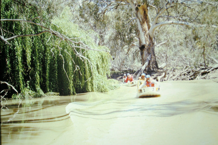
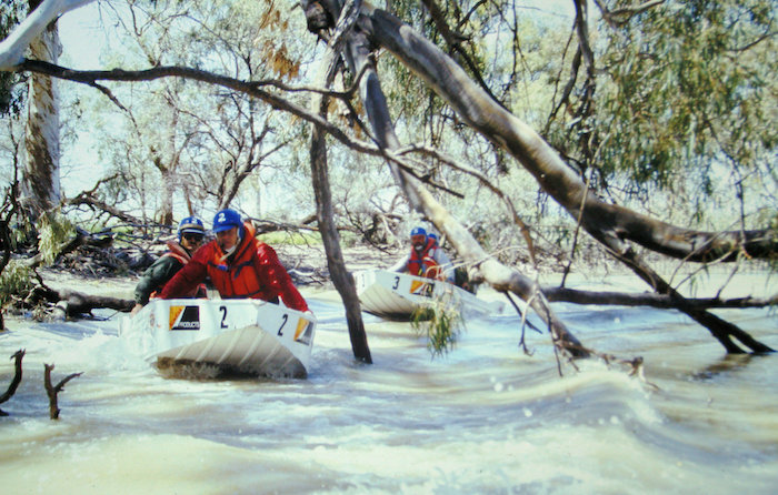
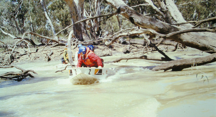
Conditions on the river were very difficult with lots of logs in narrow channels. It was many times more difficult that anything experienced in power dinghy races on the Blackwood or Avon rivers. In numerous places the willow trees completely blocked the river. The backed up detritus blocked water pumps.
- At least the boats don’t need to be carried around.
The owners of Tupra Station (the first rendezvous point) suggested that the boats would take 12 hours to travel the 12 kilometres from Oxley. They arrived 29 minutes later. The next section to Norwood Station (49 km) would take a week. They work easier hours in this part of the country because this week was only 3 hours and 42 minutes. Likewise the next section to Thelangerin Station was, according to the locals, going to take a week, but took just 4 hours 24 minutes. However, even though the boat crews greatly exceeded the expectations of locals (who were unaware of the capabilities of power dinghies), the rate of progress was painfully slow.
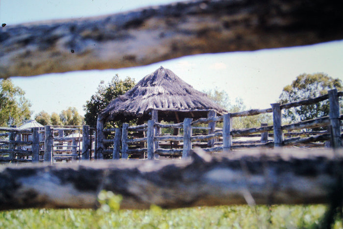
- Bough shelter at Thelangerin.
- White swans race the boats to the fuel stop.
- Fuel stop.
- Mario and Simmo at fuel stop.
The boats drove over a small fish ladder weir (450 mm high) upriver from Tupra.
- Steve and Rummo.
Navigation was difficult as the only features able to be noted were bridges, houses and manmade channels. Positive landmarks were infrequent, averaging about one per hour.
- Not all obstacles were natural.
On many occasions the river split into two separate channels (not shown on map) and a guess had to be made as to which one was correct – generally the one with the most flow. At one point the river did a complete circle with two exits.
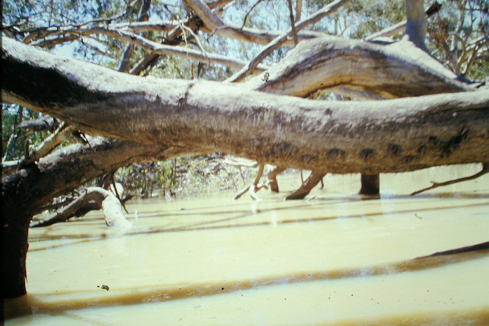
- There are many, many fallen ttrees in the Lachlan River.
- Log strewn river.
The boats were refuelled near Ulonga Station and the crews were told the river improved upriver from this point – in fact it worsened.
As darkness approached upriver progress stopped. It was clear there was was going to be no rendezvous with the support crew. All stop!
Boat Crews – Ulonga Station
Support Crew – Booligal
Distance Covered – 166 kilometres.
Day 2 Thursday 31 October 1985
Ulonga Station to Quandong Station/Booligal
With no breakfast dishes to wash, the upriver push started early.
- LACHLAN RIVER DAY 2 – ULONGA TO BOOLIGAL
Travelling against the river flow was not that much of an issue because the current was not very strong.
- The going isn’t too bad.
- Occasional pools of good water.
- Where have all the long pools gone?
Wildlife was plentiful – kangaroos (many swimming the river), emus, ducks, cranes, rabbits, pigs, goats, sheep, bungarras and a two metre brown snake that Les nearly stepped on.
- Thoughtful of the builders to leave handrails.
The boat crews’ plan was to reach Booligal but after the rv with the support crew at Quandong Station it was decided that extraction was the best course of action.
- Richard’s Suzuki was used to extract boats from the Lachlan River – the line of trees in the background.
After hot showers at the shearers’ quarters, the boat crews were ferried in the back of a ute belonging to one of the shearers to Booligal – about 28 kilometres to where the ground crew had established camp.
- Simmo has an interesting choice of footwear.
River Distance Covered – 32 kilometres.

Day 3 Friday 1 November 1985
Booligal to Lilydale Station
- LACHLAN RIVER DAY 3 – BOOLIGAL TO LILYDALE
The start of the river journey had a small bit of action with a jump over the Booligal Weir.
- When not blocking the river, the trees are very picturesque.
Strong winds which had been with us ever since leaving Perth continued to blow throughout the night at Booligal. So far the expedition had been tough but everything was going reasonably well.
- Fallen trees in the river are starting to close in.
- Bonus! – the trees are small and easy to pass.
However, after a few hours run past Booligal, in a river twisting back on itself so much that every seven kilometres of river travel meant only one kilometre of progress, the complexion of the expedition changed.
- Boats in line.
Inaccessibility and incredible log jams during the afternoon threatened another night on the river bank for the exhausted boat crews while the support crew camped by the Torriganny Creek at Lillydale, sharing their campsite with a friendly? tiger snake.
- Neil having shower.
“The river is getting more like a creek. I am contemplating pulling the boats out of the Lachlan and putting them in the Torringarry anabranch. I am trying to ascertain how to speed up the expedition. Also what action to take if these conditions continue. At this rate the time allocated to do the two rivers will be used for the Lachlan alone – and then some.
Do we forget the Lachlan? Or leave some out? Or stop short? Or do we forget the ‘Bidgee? Can we come back next year and complete what we missed?
We need a group chat to discuss when each person must be back in Perth. After that we can decide whether to prolong the trip or cut and run.”
At the confluence of Torriganny Creek and Lachlan River the crews headed up the Torriganny Creek (because of greater flow) for 1.5 hours.
- Trees blocked the river at many locations all along the lower Lachlan.
- Typical of the lower Lachlan.
When going upriver (the Torriganny Creek as the boat crews were to later find out) they saw a house. If they were on the Lachlan River there would be no house.
They walked towards the house and came across a group of people playing cricket. The boat crews were a little surprised the locals didn’t stop their game when they saw them. It turned out that the cricketers had seen the boat crew on the water at Booligal when they were fishing earlier.
- Checking for damage.
- A bent prop shaft requiring replacement gearbox.
Eventually realising it was not the the Lachlan, they headed back downstream for an hour – 2.5 hours the expedition would never get back.
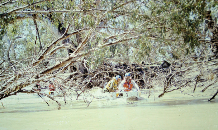
Back on the Lachlan the snags were terrible.
- Tree blockage is getting more nasty.
- Unusually clear water.
When a motor clamp broke the overnight campsite was self selecting.
It was evident that the virtually impenetrable nature of the Lachlan River meant that we would run out of time to finish it. The decision was made to move to the Murrumbidgee River.
Total Distance covered on the Lachlan River – 300 km
- Are they drinking the Spnsor’s product?

Transition
Day 4 Saturday 02 November 1985
Booligal to Hay
- TRANSITION – BOOLIGAL TO HAY
The decision to abandon our attempt on the Lachlan River and move to the Murrumbidgee River meant that we had to pack up and head south on the Cobb Highway to Hay, en route to the upper Murrumbidgee.
- The old hotel at One Tree in the middle of the Hay Plains.
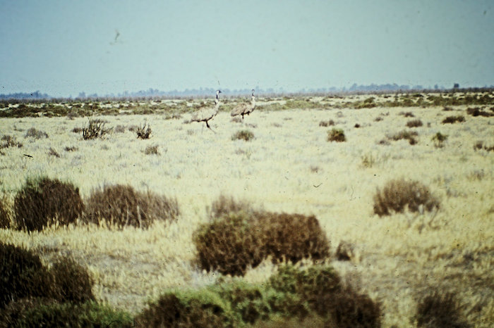
- Emus on the Hay Plains.
Along the way we stopped at One Tree, originally a coach changing stage and watering place in the middle of the Hay Plains between Booligal and Hay. It was also known as ‘Hell’ and entered the vernacular by way of the controversial 19th century poem Hay, Hell and Booligal.
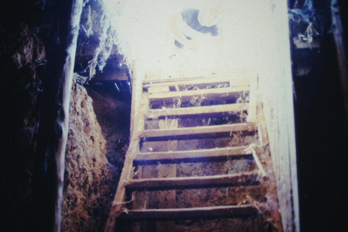
- Checking out the cellar of the One Tree pub.
- Cellar steps.
The expedition arrived in Hay around 1100 – veritable civilisation compared to the previous past few days. Hay is an important town on the Murrumbidgee River, located 1208 kilometres from the source and 407 kilometres from the river’s end where it meets the Murray.
We spent the day sourcing essentials, fixing electrical issues, sightseeing and preparing boats.
The Murrumbidgee River was once used as a transport route, with paddle steamers reaching as far as Gundagai – where we were to overnight a few days later. The river trade declined with the coming of the railways and paddle steamers last used the Murrumbidgee in the 1930s. To allow the steamers and towed barges to pass, there were opening bridges at Hay, Balranald, and Carathool.
At a traditionally-accepted length of 1485 kilometres, the Murrumbidgee River is quoted as Australia’s third longest river. However, ………..
[Measurements by Alan Davison who has paddled this river (and many others including the Murray, the Lachlan, and a good portion of the Darling) place it at 1615 kilometres in length – making it longer than the Darling River, reputedly Australia’s second longest watercourse. Indeed, as modern measurement show, the Lachlan River is Australia’s third longest river, by two kilometres, and that watercourse named as the Darling has been relegated to fourth.]
- A shop window in Hay on Saturday. With the passage of time and the demise of the uber popular TV show ‘Hey, Hey, It’s Saturday’ this sign has lost its significance.
Day 5 Sunday 03 November 1985
Hay to Darlington Point
- MURRUMBIDGEE RIVER – HAY TO DARLINGTON POINT
The boat crews headed upriver around 0700 to explore the ‘Bidgee and see how far they could get.
- The expedition arrives at the Hay Weir, Murrumbidgee River, NSW.
The rate of progress was only moderate as a result of fighting against the current and the extra weight required to be carried in the boats on an expedition. The water ran out at Darlington Point – drained off into the mighty Colleambally Irrigation Channel.
- Water from the Murrumbidgee turns the desert into productive farmland.
- Dry now but the irrigation water brings wealth to wasteland.
- An old tank on an irrigation channel from the pump station.
The nature of operation of the Murrumbidgee Irrigation Area Scheme (MIA) meant that we would encounter less and less water as we travelled further upstream – until such time as more water was released from Burrunjuck and other weirs.
On a dropping river we covered 243 kilometres upriver from Hay to Darlington Point. It was a long, long day on the water, finishing around 1900.
Down the Murrumbidgee
Day 6 Monday 04 November 1985
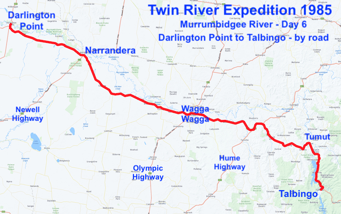
Darlington Point to Talbingo
Forced on to the river of bitumen once more we headed to the Snowy Mountains to try to find some water there.
- TRANSITION – DARLINGTON POINT TO TALBINGO
- Driving past Talbingo Reservoir.
- Tumut near Talbingo.
- Talbingo
- Talbingo Rservoir
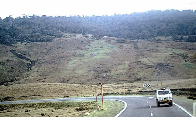
- Climbing away from Talbingo.
- Heading into the Alps. Note the snow depth markers.
The expedition stayed overnight at the Talbingo Caravan Park.
Day 7 Tuesday 05 November 1985
Talbingo to Adaminaby
The expedition arrived at Tantangara around 1130. Immediately below Tantangara Weir (as close to the headwaters of the river as we could get – kilometre 65) a child could have jumped across the trickle of water that later becomes a river big enough to irrigate the immense MIA.
- Tantangara Dam Wall.
- MURRUMBIDGEE RIVER – ROSEDALE TO ASHVALE
It was decided to move further downriver. The boat crews started at Rosedale near Adaminaby about 1330 but low water level, rock gardens, and ill defined channels frustrated the downriver push. After a rendezvous with the Support Crew at 1600 the river became unnavigable and it was decided to stop around 1700. A grand total of seven kilometres was covered on the river. Extremely disappointing and morale sapping.
This meant another night on the river bank for the boat crews. Simmo and Steve went for a walk downriver to check it out. The others spoke to some fishers asking about the river conditions.
The section of river downriver was completely inaccessible by land, devoid of navigable water, and full of rock bars and small rapids, providing a perfect reason to ‘cut and run’ downstream.
Kim and Richard in the Sierra refuelling vehicle were unable to locate the boat crews and they camped overnight on the verandah of the Cooma Fishing Club hut .
Day 8 Wednesday 06 November 1985
Adaminaby to Cooma
It took all morning for the land crew to firstly find and then recover the boat crews. We regrouped and headed to the Snowtels Caravan Park, Cooma where we camped the night.
A flash flood while camped that night at Cooma augured well for the following day’s run. Water ran through the campsite ankle deep. A nearby creek filled within ten minutes and continued to run throughout the night.
Advice from local rafters was that from Cooma to Burrinjuck Dam the river varied from Grade 2 to Grade 6 (the Avon River occasionally reaches Grade 4/5 in flood and very rarely more than Grade 4 during the Avon Descent). Despite the daunting descriptions, it was planned to tackle selected sections and once again ‘cut and run’ on the impossible stretches. So much for the plan!
Day 9 Thursday 07 November 1985
Cooma to Colinton
- MURRUMBIDGEE RIVER – NUMERALLA RIVER TO COLINTON
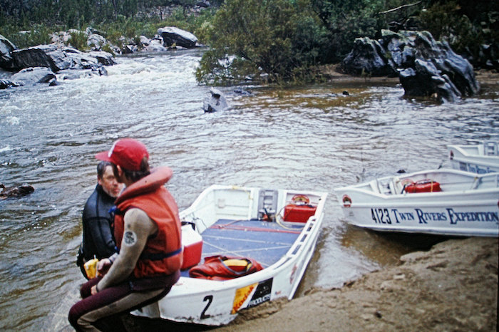
The day’s run started from Numeralla Creek confluence, 197 kilometres from the source but in actuality the earliest, most practicable starting point, on a miserable, cold, overcast day accompanied by sleeting rain. It was only a few hours run to Bredbo, the planned pull out location. While the boats were on their way to Bredbo the truck got bogged in loose river stones. The support crew in the refuelling vehicle spent a few minutes assisting them out of their predicament and then made a quick dash to the planned rendezvous at Bredbo – only to miss the boats by four minutes.
- After negotiating a rapid with many more to go.
The boat navigator was unable to precisely determine the location of this tiny hamlet and consequently the boats had travelled a few kilometres (and a few rapids) towards Colinton. They had entered an inaccessible valley from which there was no return.
- Rummo and steve resting near Bredbo.
There was only one way out – reach the end of this 15 kilometre, steep sided river valley. Driving rain accompanied by the clash of lightning and rolling of thunder gave rise to the fear of raging floodwaters and lent urgency to the task of escaping this cloud filled valley with its dark, foreboding atmosphere.
- Mark filming through the rapids.
The rapids and waterfalls were bigger, more frequent and closer together than anything encountered on the Avon River. Near tragedy occurred when Mario came close to being dragged over a waterfall only to be saved by quick action from David Whitney.
- Mario came close to being dragged over a waterfall.
Many of the rapids were too big or dangerous (or both) to be attempted and the rigs had to be disassembled and portaged over rocks. One five metre waterfall took more than two hours to portage.
- Steve above rapids through which the boats were roped down.
Nine hours and fifty minutes after passing Bredbo the three dinghies (one under tow) reached Collinton around 1915 – just on dark. Simmo put the finishing touch on the day by catching a trout for the dinner table. A HUGE day – only thirty kilometres covered but experiences to last a lifetime.
It was a comfortable camp at Colinton. The boat crews were exhausted after a very physically tough day on the water. David fell asleep leaning against a guy rope.
Day 10 Friday 08 November 1985
Colinton to Cooma
The day was spent regrouping and resting/recovering. The crews and boats were collected and transported to the caravan park at Cooma.
Plans were made to continue the expedition further downriver, below Burrinjuck Weir.
Day 11 Saturday 09 November 1985
Cooma to Gundagai
- MURRUMBIDGEE RIVER – CHILDOWLA TO GUNDAGAI
The on water expedition continued downriver from Childowla – kilometre 432 – below the Burrinjuck Dam.
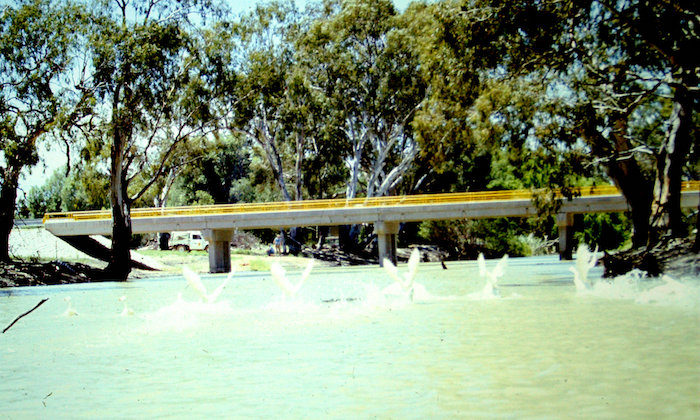
- Bridge over the upper Murrumbidgee.
From the start the boats were tackling shallow water and innumerable small rapids. Progress was slow.
On land, engine trouble with the Sierra meant the Support Crew missed a meeting at a planned checkpoint.
At Jugiong, 37 kilometres downriver from the start, Kim and Neil in the refuelling vehicle had to make a mad dash from one side of the river to provide support from the only access road on the other side. Thick fog, closed gates and hundreds of cattle and sheep on the track made this a memorable journey.
On water the boat crews were having their own troubles with a gearbox rendered useless. Low water was again an issue.
All this was to change as the waters of the fast flowing Tumut River entered the Murrumbidgee. From there the boats were swept along into Gundagai. But where was the stores truck? Though the stores truck was missing, the refuelling vehicle had rendezvoused with the boat crews. Calls at the Police Station and searches of likely locations covering several hundred kilometres failed to locate the stores truck. Even though it was only 1545 it was decided to stop for the day. Having been caught in this situation before everyone was well prepared, carrying that most essential of all items when attempting a river journey – cash.
Showers at the caravan park, meals at a restaurant in town, beds in onsite vans. Was this an expedition? However, it was a cold night and with clothes being on the missing truck it was a bit uncomfortable.
On river distance covered today – 103 kilometres.
Day 12 Sunday 10 November 1985
Gundagai to Berembed Weir
- MURRUMBIDGEE RIVER – GUNDAGAI TO BEREMBED WEIR
Mario and Neil left Gundagai at 0730 in the Sierra, headed for Wagga Wagga to look for the truck crew. [pre-mobile phone era]. They found them in Wagga and sent them back to Gundagai, allowing the boats to depart at 1030.
As the temperature climbed so did the tempo of the expedition. The boats passed by Wagga Wagga and it was flat out to Berembed Weir.
Camp was made among the beautiful surroundings of this irrigation control weir around 1730. The boats arrived at 1900.
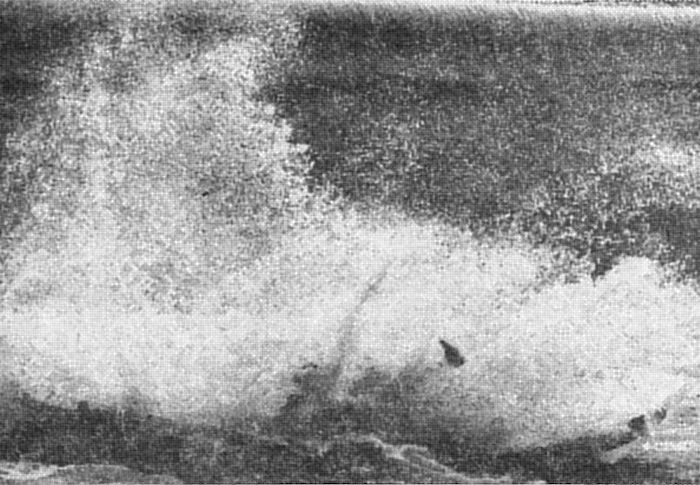
This was the scene of the now famous jump made by Mario and David.
- Through News Ltd and its affiliated agencies this photograph was published on page 3 of many newspapers around the world.
Distance covered – 271 kilometres.
Day 13 Monday 11 November 1985
Berembed Weir to Hay
- MURRUMBIDGEE RIVER – BEREMBED WEIR TO HAY
While not exactly remote, Berembed Weir, 36 kilometres east of Narrandera and 63 kilometres west of Wagga Wagga is definitely in the bush – yet this crazy jump was witnessed by a couple of hundred people. After I gained approval for the jump from the Weir Manager he notified the ‘bush telegraph’ of what was to occur the next morning. Two busloads of kids stopped by on their way to school, dozens of locals (station people, ringers, contractors), weir personnel and a number of tourists all witnessed history on the morning of Monday 11 November 1985 when the biggest jump ever made in a power dinghy took place.
Mark Whittome filmed the jump from a boat positioned at the base of the dam. Neil Eliot took the iconic photo from one of the ‘battlements’ transverse to the weir wall. After the expedition we paid for the film of the jump to be developed (yes, film!) and showed it to STW Channel 9. They wanted it!! So a fairly simple trade was made – they developed the rest of the expedition’s footage in exchange for the jump footage. This footage was used by Channel 9 to ‘top and tail’ the news plus a 3.5 minute mid-bulletin segment. Great coverage for the expedition, power dinghy racing and the Power Dinghy Racing Club.
- The crash at the bottom is yet to come.
After this jump gearboxes were in desperately short supply (the tally of ruined gearboxes was five so far). Look closely at the pic of the boat going over the weir and it is evident the gearbox is missing – having been torn off when the leg hit the concrete wall of the dam.
The pace set by boats caught the support crew unawares around Narranderra but by a bit of slick work and commonsense only 20 minutes was lost from the failure to rendezvous for refuelling.
The boats breezed into Darlington Point where, only a few days before on the upriver attempt, the crews were out walking. Another packup, to bypass this section already covered, and camp was established in Hay.
On water distance covered – 154 kilometres Berembed Weir to Darlington Point.
Day 14 Tuesday 12 November 1985
Hay to Riverside Camp
- MURRUMBIDGEE RIVER – HAY TO RIVERSIDE CAMP
The route shown on the map for this day’s river journey was daunting – a twisting, turning river with little access. And to make matters worse the water level was dropping fast as it was being siphoned off for irrigation purposes. However, the lack of water did not affect the progress of the expedition.
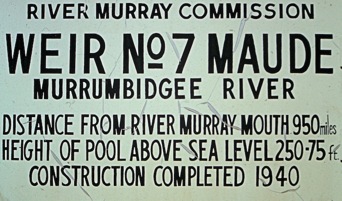
- Sign at Maude Weir.
Maude, 103 kilometres down the river, passed by. Then after another 32 kilometres we passed Toopuntal. It was then on to Balranald, 162 kilometres further downriver. But not before a few more minor dramas.
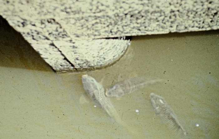
- Carp at Maude Weir (Weir No.7).
- Shallow water downstream from Weir No.7
- Bridge at Maude.
The refuelling vehicle was racing to rendezvous with the boats before they entered a 50 kilometre inaccessible stretch.
The boats were sighted 100 metres ahead speeding along. The narrow dirt track darted in and out between the trees only metres from the bank. With the unidentifiable refuelling point less than a kilometre ahead it was a race between 4WD and dinghy. The boat crew couldn’t see the vehicle frantically trying to catch up. The frustration of the vehicle crew was heightened by the fact that the horn wouldn’t work.
The river banks are high and steep – a ditch. Similar to the majority of the Darling River. A characteristic that increased the difficulty of getting the attention of the boat crews.
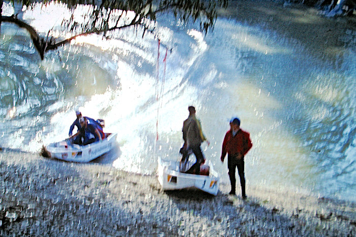
These high, steeply sloping sides made contact and refuelling hazardous. The race to catch the boats was still on, with the refuellers thinking they were in a rally. Amid a cloud of dust the Sierra finally slid sideways to a stop only seconds ahead of the boats. In between sighs of relief from the vehicle crew, Rummo (boat navigator) calmly announced that he was going to stop anyway.
- There were only ten men on the trip.
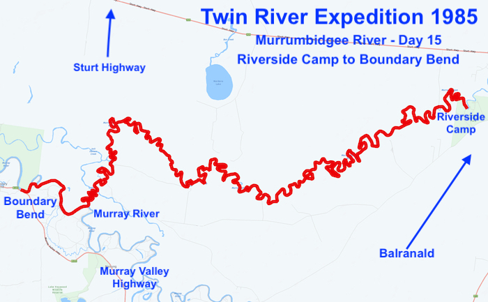
Camp was just downriver from Balranald. With 308 kilometres covered it was a good day on the river.
Day 15 Wednesday 13 November 1985
Riverside Camp to Boundary Bend
The end was in sight. Local information suggested that we would never make the confluence with the mighty Murray due to the snags. By this time we had learnt to largely ignore local advice and this situation was no different.
- Time for a break.
The run to the finish caused only minor delays. It was 90 kilometres to the confluence and the a further eight kilometres to Boundary Bend – the scene for celebration and frivolity in the shallows before the expedition home commenced (and that is a story in itself).
Summary
And so finished another marathon river journey. Although the Lachlan remained unconquered – only 300 kilometres was covered – and hence the initial aim of the expedition was not achieved the overall success of the venture was spectacular. A total of 1446 river kilometres covered.
Clearly insufficient time was allowed to fully cover the Lachlan and this was a direct result of lack of information about the river. In reality, if we had known of the impenetrable nature of, particularly, the lower reaches, it is highly unlikely that we would not have attempted it in the first place. Unlike the early explorers who just plugged on till the task was complete, we had jobs to get back to within a specified time. This is not an excuse because excuses are not needed!!
Not when Australia’s second major river has just been conquered from Childowla from near Jugiong (with another 38 kilometres covered further upriver) to the confluence of the Murrumbidgee with the Murray River – the third longest power boat journey ever made on a river in Australia. And at the time of publication of this Diary of Record a power craft journey that has never been beaten or even attempted!
People
The expedition comprised a boat crew of six and a land crew of four.
Kim Epton, Neil Eliot (deceased), Les Simpson, Mario Ambrosino (deceased), John Haynes, Richard Urban, Steve Palmer, David Whitney, Geoff Rumsey, Mark Whittome.
Trip Home
The end of the river journey was not the end of the expedition. There was still 3050 kilometres to be covered to get back to Perth.
At the Nullarbor Roadhouse (1625 kilometres from Perth) the injectors on the truck failed, rendering it immobile. Via CB radio an arrangement was made with a westbound truckie to tow the hapless support vehicle home.
- The disabled Support Crew truck was positioned behind the semi-trailer with a tyre in between and dog chains securing it. Been done before?
- Not sure how legal it was but it worked.
Extracts from Power Dinghy Racer newsletter
- Mario and David jumping Berembed Weir.
- Mario and David jumping Berembed Weir.
- Mario and David jumping Berembed Weir.
- Twin Rivers Expedition. Jumping weir landing.
- Mario and David after jumping Berembed Weir.
- Twin Rivers Expedition.
- Twin Rivers Expedition.
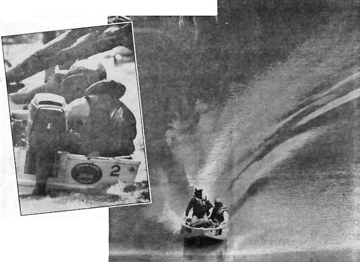
- Magazine clipping – “Twin Rivers Expedition” SundayTimesP49-2
Transcript of an article published in The Sunday Times 24 November 1985.
Postscript
Expedition Boat 1 is now in the Pilbara being used for fishing and crabbing.
- Signwriting has stood the test of time.
- Still a serviceable rig – testament to Steve Palmer’s boat building expertise.
Inland Rivers National Marathon Register Letter of Commendation
© Kim Epton 1985-2025
5235 words, 84 photographs, 15 images.
Feel free to use any part of this document but please do the right thing and give attribution to adventures.net.au. It will enhance the SEO of your website/blog and Adventures.
See Terms of Use.


