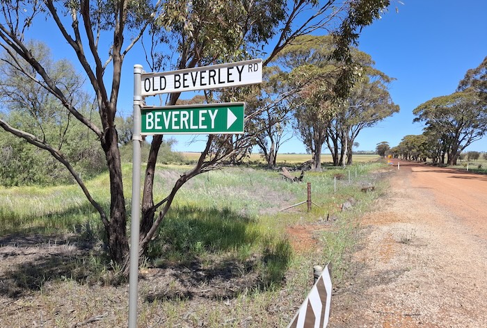
The Old Beverley Road runs well beyond the current day eastern boundary of the Shire of Beverley.
-
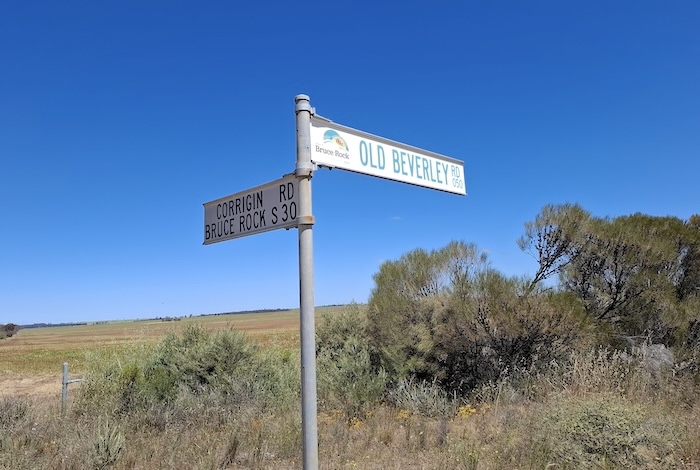
- Near the intersection of Old Beverley Road and Bruce Rock South Road.
The reason for this is that that when the Shire was established in 1871 (as a Roads Board) its eastern boundary extended 1200 kilometres to Eucla, encompassing a huge area. By 1923 the boundaries that exist today had been established.
The upshot of this more-than-a century old political-rearrangement-of-influence is that the Old Beverley Road extends 97 kilometres from the eastern edge of the district of Morbinning (30 kilometres east of the town of Beverley) to just west of Narembeen. Over this distance it changes from sealed to unsealed numerous times.
Other sealed, high speed roads have overtaken the importance of Old Beverley Road as a transport artery, however, its historical significance remains undiminished.
Download GPX file of the route of Old Beverley Road.
Should download be blocked, refresh the page.
Great Drives of Western Australia
© Kim Epton 2025
207 words.
Feel free to use any part of this document but please do the right thing and give attribution to adventures.net.au. It will enhance the SEO of your website/blog and Adventures.
See Terms of Use.
