The Murrumbidgee River rises at Peppercorn Fire Trail in the Snowy Mountains, NSW at 35° 35′ 13.7″S, 148° 34′ 36.9″E.
Navigation of the upper section of the river above Jugiong (about 470 kilometres) is considered to be more difficult than below although an historic power boat journey was made in the upper section in 1985.
-
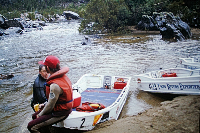
- Just before roping boats down a rapid near Bredbo. Note the absence of recently removed motors.
From Jugiong the river flows generally westward to its confluence with the Murray River near Boundary Bend, Victoria – a distance of 1145 kilometres.
The river flow is regulated by releases of water from Burrinjuck and Blowering dams as well as weirs. There are nine weirs further downriver that, unlike the Murray River, were built primarily for irrigation regulation and water supply rather than navigation.
-
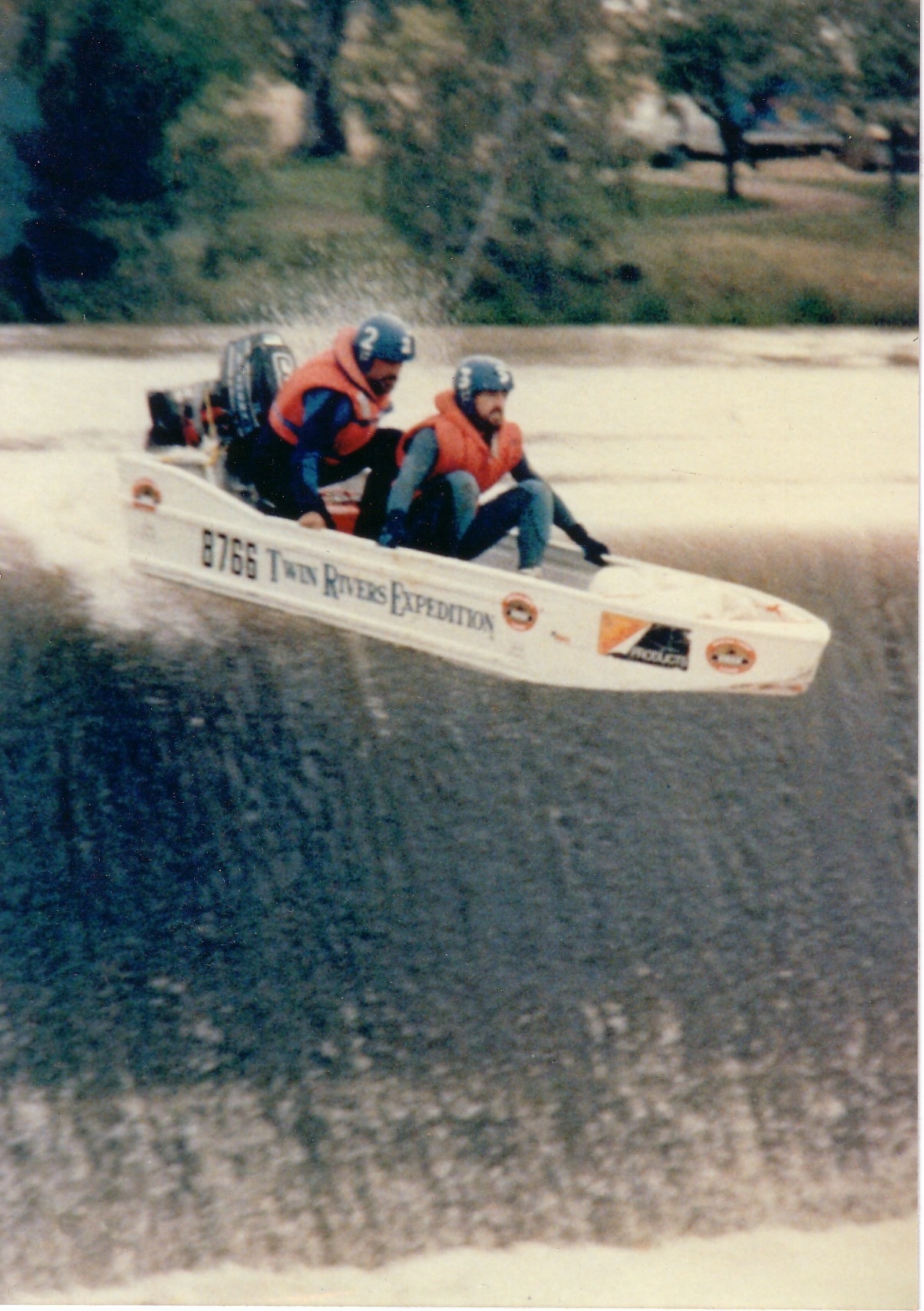
- Over Berembed Weir.
The length of the Murrumbidgee River is 1615 kilometres.
The Murrumbidgee/Murray river system from the source to the mouth at the Southern Ocean measures 2820 kilometres.
Reference:
Estimated Time of Arrival Unknown
Read about other rivers in Australia.
© Kim Epton 2026
183 words, two photographs.
Feel free to use any part of this document but please do the right thing and give attribution to adventures.net.au. It will enhance the SEO of your website/blog and Adventures.
See Terms of Use.