The aboriginal name for this rock was recorded by F.M. Roe, second in charge of C.C.Hunt’s Eastern Interior Expedition, on 3 October 1866. It was shown on Hunt’s Exploration Plan 28 but was incorrectly positioned on early maps.
-
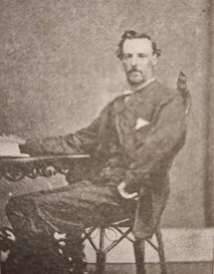
- The name ‘Caenyie’ was first recorded by Frederick Mackie Roe.
As a result Reserve 8479, when gazetted on 2 January 1903, was incorrectly stated to be at Caenyie Rock – “said rock being situated about 12 miles north-westward of Bulla Bulling”. Since there is no rock in that position, post-1968 maps applied both the name Caenyie and the Reserve to the rock nearest to that description – the one at -30.94431, 120.71033 – current Moorowing Rock.
-
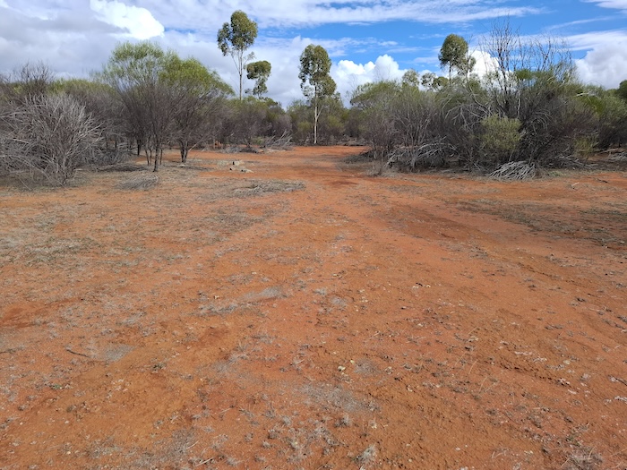
- Entering Caenyie Rock.
-
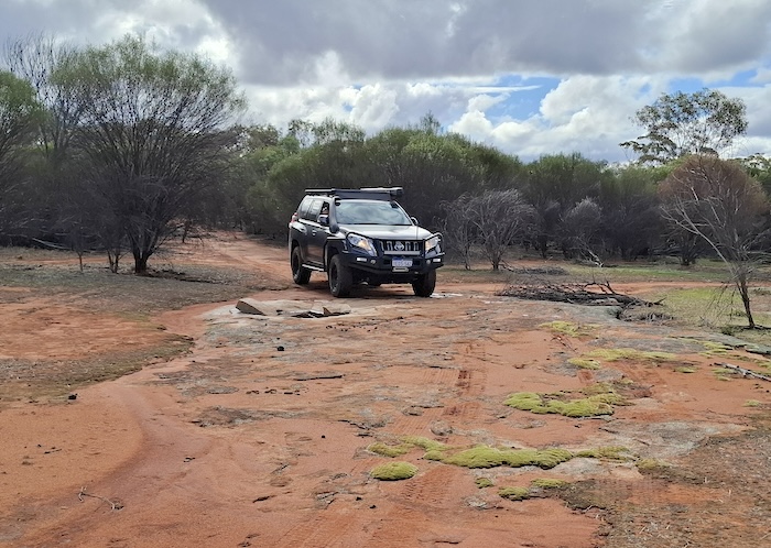
- Dan’s Prado at Caenyie Rock.
Research by staff of the Lands and Survey Department (now Landgate) in 1985, using Roe’s diary and bearings, showed that Caenyie Rock was actually situated 21 kilometres northwards. Consequently, the official position for Caenyie Rock and Reserve 8479 was amended to -30.7537, 120.6932.
-
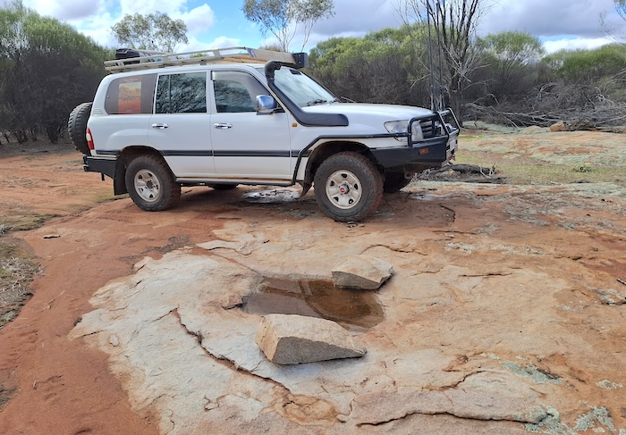
- Phil’s Landcruiser at Caenyie Rock.
-
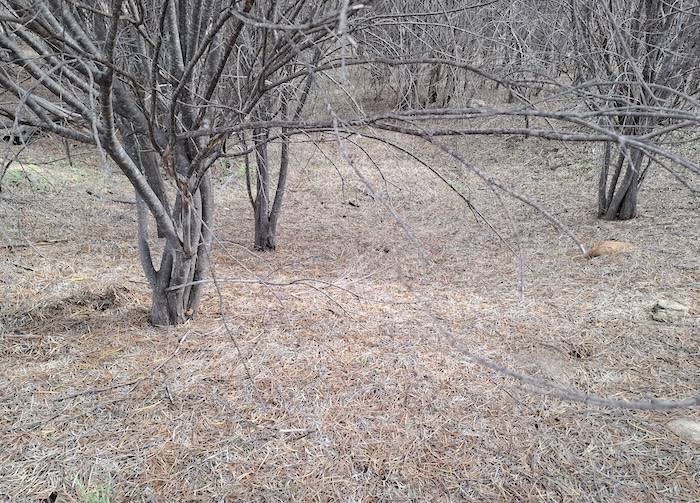
- Leaf litter.
Most modern day maps still show this as an unnamed rocky outcrop.
References
Geonoma
Cyclopedia of Western Australia
© Kim Epton 2025
212 words, five photographs.
Feel free to use any part of this document but please do the right thing and give attribution to adventures.net.au. It will enhance the SEO of your website/blog and Adventures.
See Terms of Use.