Unmarked, Unofficial, Unusual and Isolated
When the Coolgardie-Esperance Highway was realigned at Widgiemooltha, the way to the cemetery was not marked by a signpost or even a track. You have to know where it is or be guided by a local. It is very ‘Widgie’.
Its gazetted location is at 31.478272S 121.583090E / 31° 28′ 41.7792″ S 121° 34′ 59.124″ E, however, locals got tired of digging graves in rock at this official, gazetted location and, unofficially, moved the cemetery to a sand island in Lake Lefroy about 150 metres offshore. Very ‘Widgie’.
The walk across the lake needs to be planned to avoid boggy ground.
-
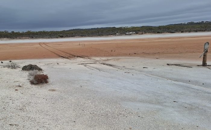
- The path to the cemetery is the right of the track.
The exact number of graves on the island is not known. The location of many is not accurately determined. White painted rocks outline those without a headstone. One is tentatively marked with sticks. Very ‘Widgie’.
-
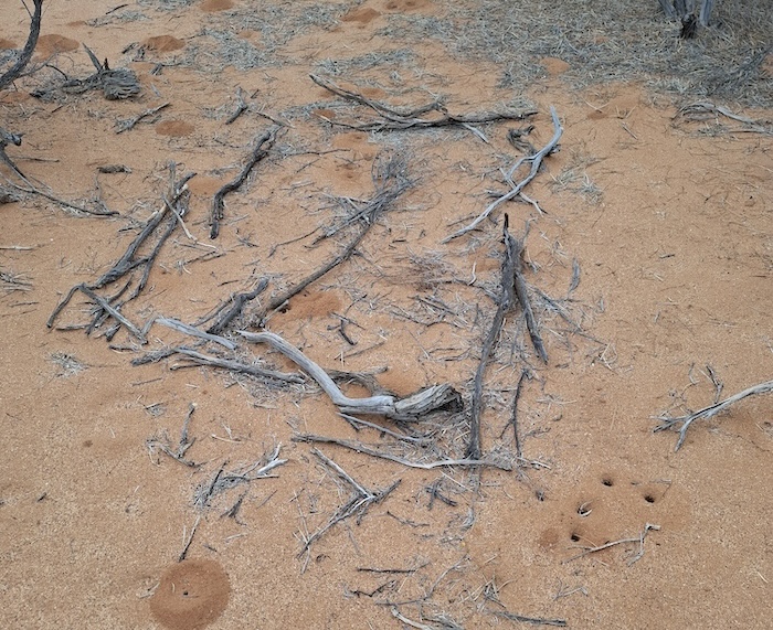
- Possible grave at the bottom of the ‘Grave Trail’.
This ‘new’ cemetery is along a “Grave Trail’ leading uphill, culminating in great views over Lake Lefroy.
-
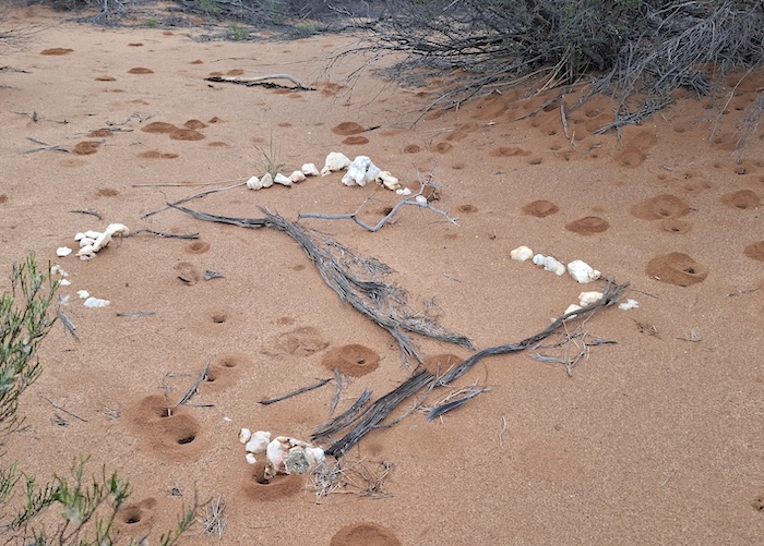
- Possibly two unknown interments.
-
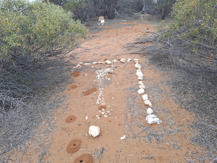
- Another marked but unknown interment near the beginning of the ‘Grave Trail’.
Members of Outback Graves Markers have visited the cemetery and placed plaques representing known burials. The location of these recorded burials is not necessarily known.
-
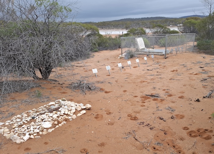
- Plaques erected by members of Outback Graves Markers.
The Doyles were a prominent family in Widgiemooltha.
-
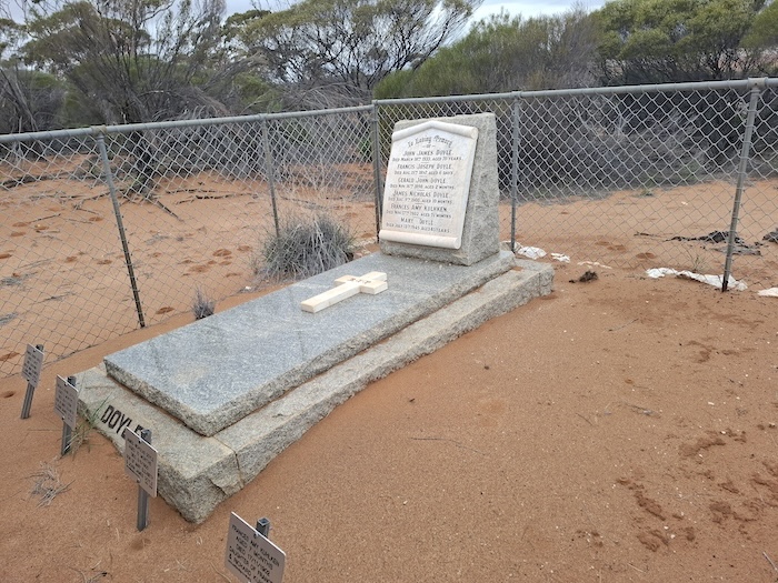
- The Doyles were a prominent family in Widgiemooltha.
-
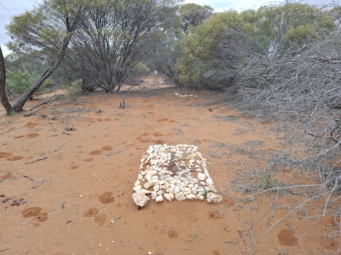
- An unknown grave along the ‘Grave Trail’.
-
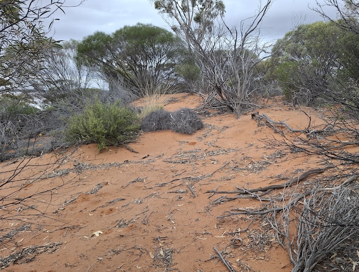
- Track up the hill.
Probably the most notable interment at Widgiemooltha Cemetery is that of Explorer/Surveyor W.W. Mills.
William Whitfield Mills was an explorer/surveyor of the Overland Telegraph Line. He is best known for naming a waterhole “Alice Springs” after which the Northern Territory town is known.
-
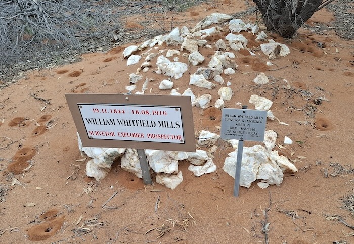
- Grace of Explorer/Surveyor W.W. Mills.
The last resting place for many departed Widgiemooltha residents has great views across Lake Lefroy.
-
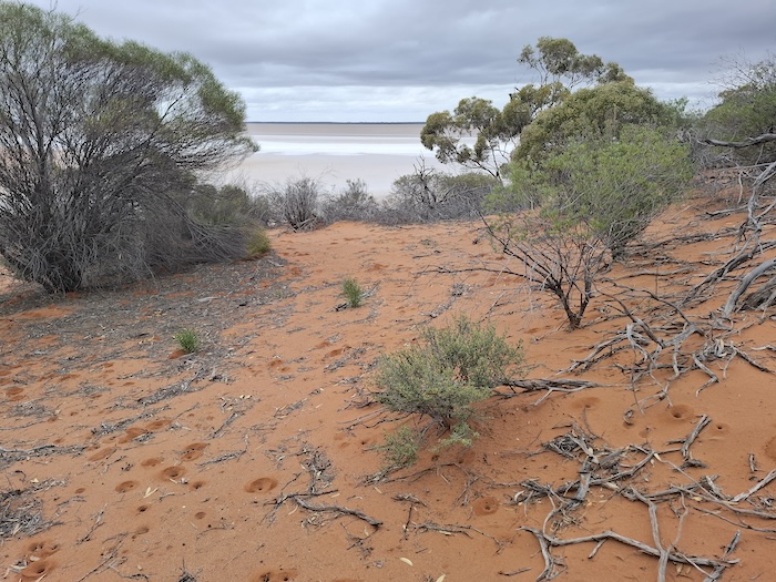
- The last resting place for departed Widgiemooltha residents has great views across Lake Lefroy.
As at 2025, the last burial at Widgiemooltha Cemetery was that of Eoin ‘Macca’ McLeod in 1997.
-
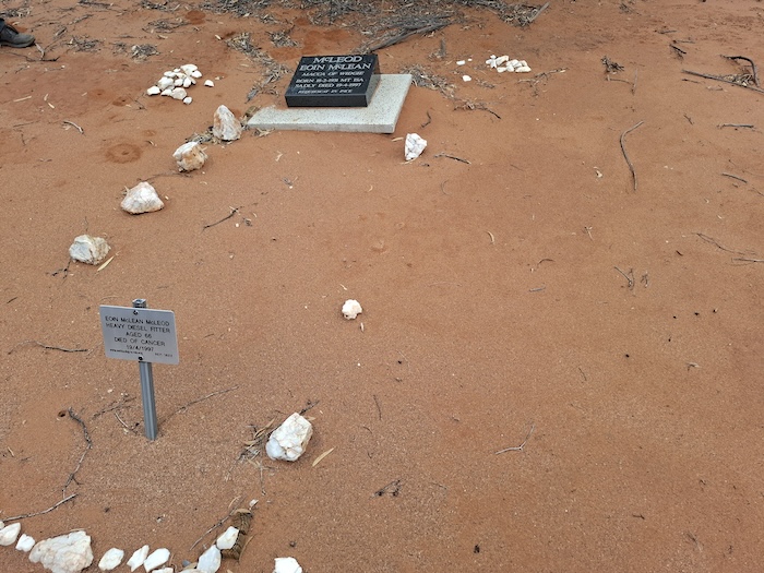
- As at 2025, the last burial at Widgiemooltha Cemetery was that of Eoin ‘Macca’ McLeod in 1997..
The Widgie Cemetery is well worth a visit.
© Kim Epton 2025
403 words, 11 photographs.
Feel free to use any part of this document but please do the right thing and give attribution to adventures.net.au. It will enhance the SEO of your website/blog and Adventures.
See Terms of Use.