To the Start of the Gibb
- The western portion of the Gibb River Road
We stocked the fridges before we left Broome for our adventure along the Gibb River Road.
- Tammy was fascinated by the Australian name of what she called ‘shopping carts’.
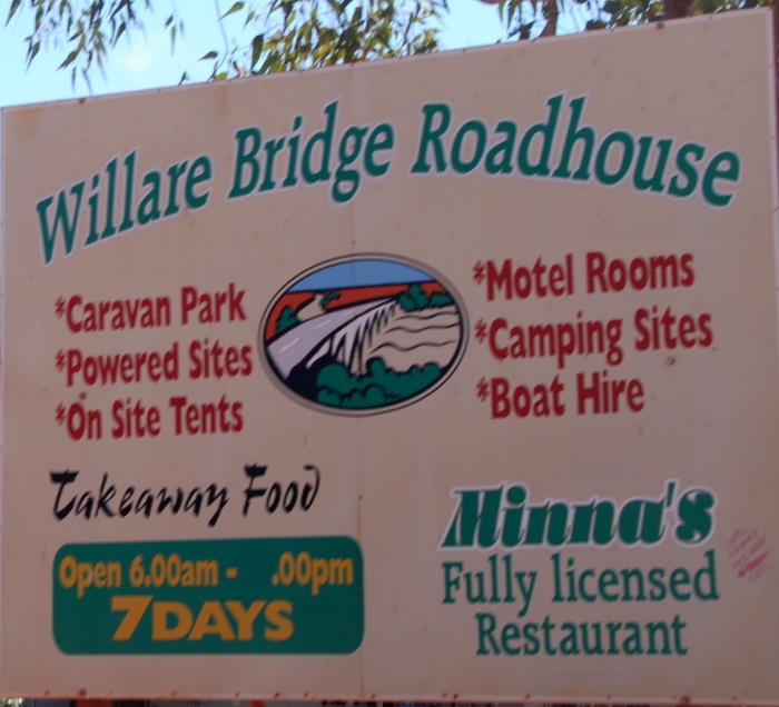
The Great Northern Highway leads east out of Broome 160+ kilometres to the Willare Bridge Roadhouse, a kilometre past the mighty Fitzroy River.
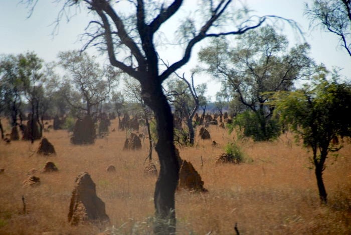
- Termite mounds, up to three metres high, are a defining feature of the northern Australian landscape. The spinifex termite builds large globular mounds common around Broome.
- Termite mounds towards the start of the Gibb River Road.
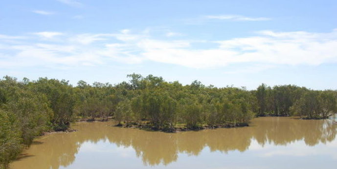
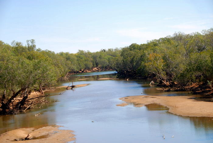
- Minnie River.
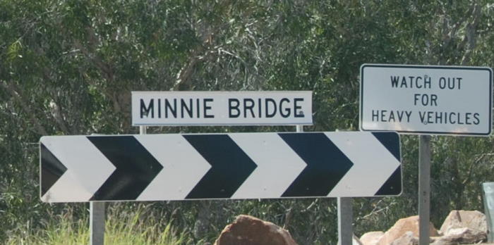
- Minnie Bridge over the Minnie River, an anabranch of the Fitzroy.
- Willare Bridge over the Fitzroy River.
- Fitzroy River at Willare, 2010.
- The bric a brac at the Willard Bridge Roadhouse is typical of many outback roadhouses and pubs.
- Directory
- Triple road train – 53.5 metres in length (for those working in Freedom Units that is 15 feet longer than the width of a US football field). Carries up to 220 tonnes at 100 km/h. 62 wheels (2 steer, 8 drive and 52 trailer). They operate only in the Australian Outback.
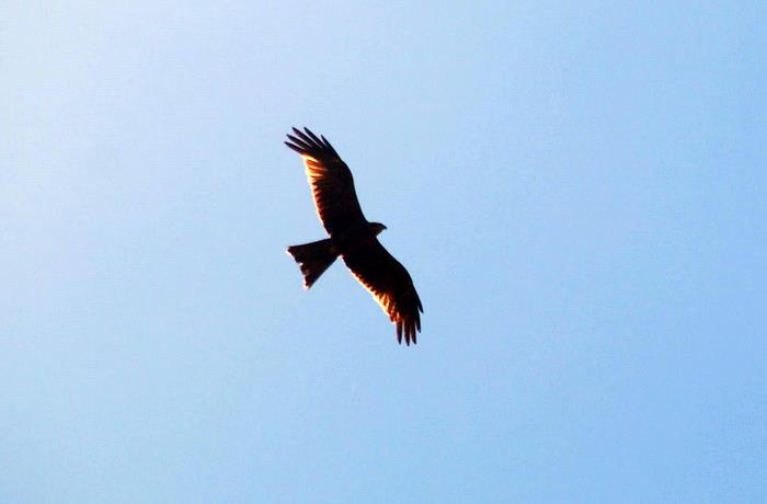
- Raptor
We refuelled at the Roadhouse and headed north. The road continues straight to Derby and it is actually Great Northern Highway (Highway 1) that deviates to the east.
- We continued straight ahead.
We took the road towards Derby. The Gibb River Road starts just outside Derby.
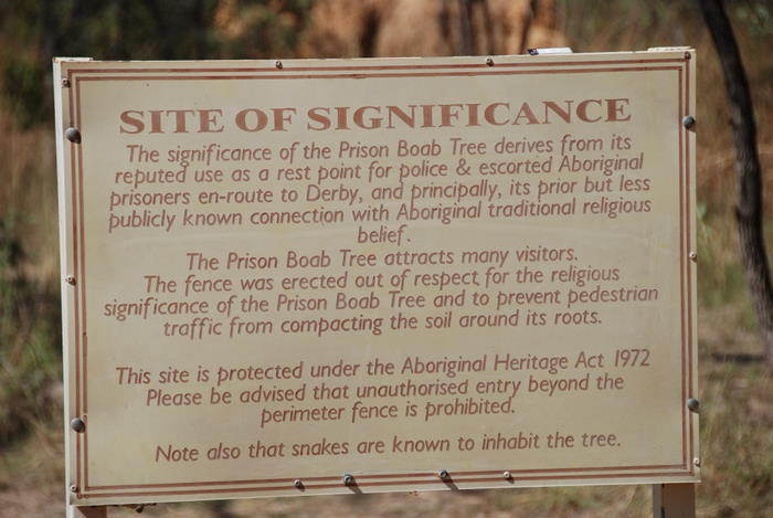
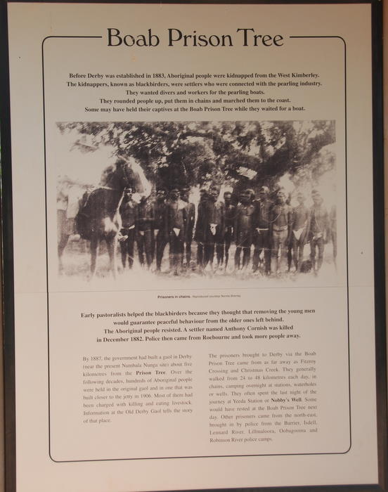
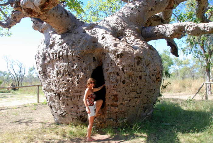
- Boab Prison Tree.
- Just released.
- Rarely closed at the time of year when we travelled.
- We did them all except Geikie Gorge which is accessed via Highway 1.
- Termite mound.
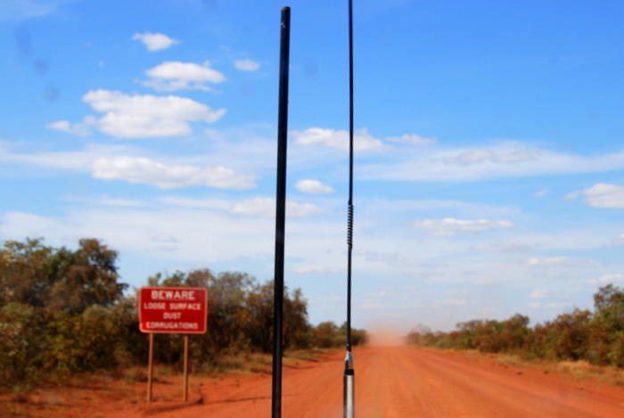
- Start of the Gibb River Road.
- On the Gibb.
Windjana Gorge
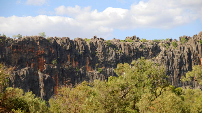
Windjana Gorge is an iconic destination along the Gibb River Road.
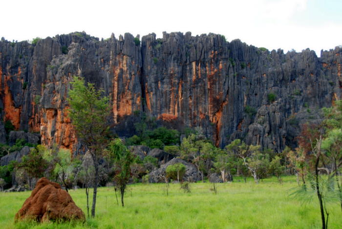
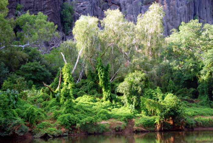
- Napier Range, in which the Windjana Gorge has been formed by the Lennard River.
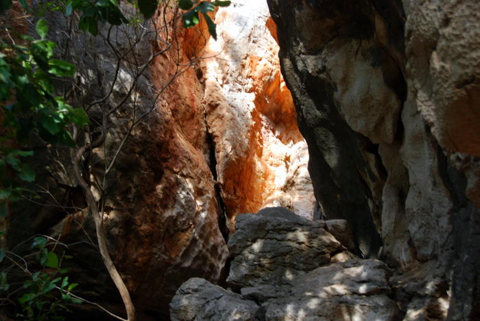
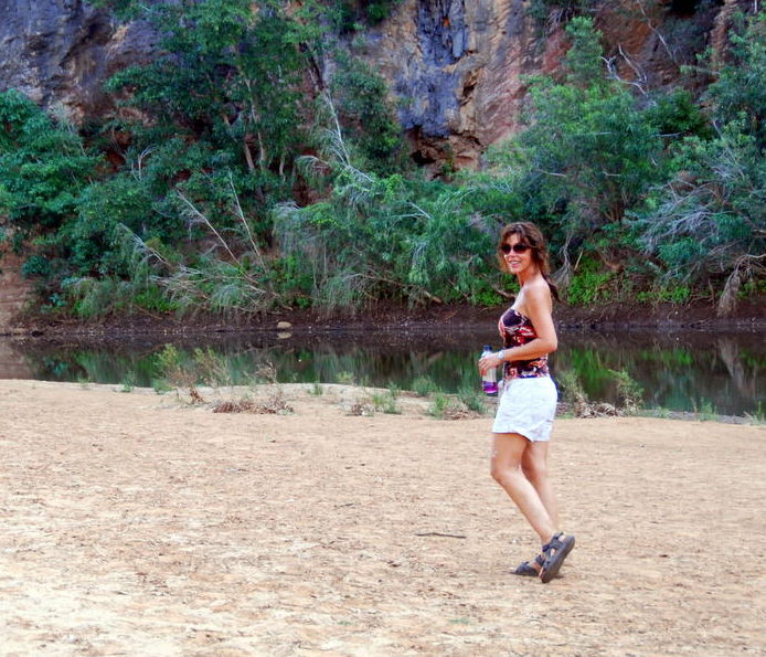
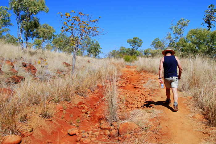
After we set up camp it was time for a walk up the Gorge. The track extends for 3.5 kilometres following the bed of the Lennard River through the Napier Range but as it was late in the afternoon we chose not to do the full distance.
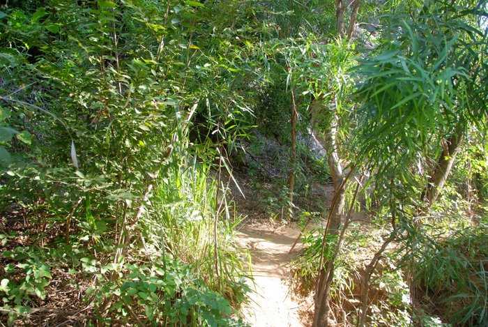
- Start of the Gorge Walk.
- leading up the Lennard River.
- Along the Gorge Walk.
- in Windjana.
- Along the Gorge Walk.
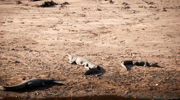
- Johnston Crocodile.
- Crocodylus Johnstoni
- Lizards.
- Fish eaters.
- Harmless to humans – except when they bite.
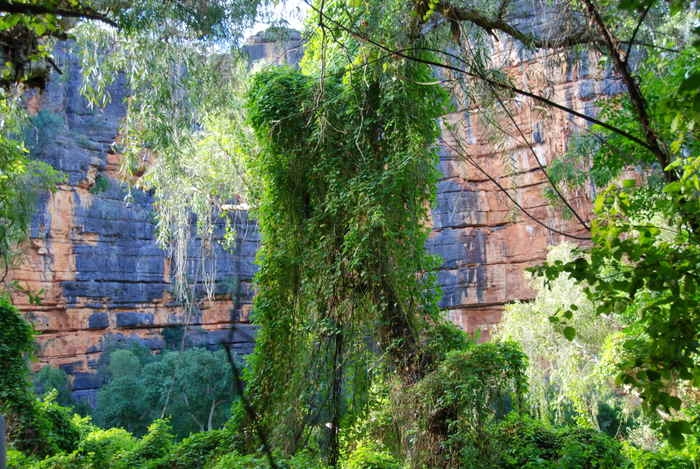
- Battlements of Windjana.
- Johnston crocodile.
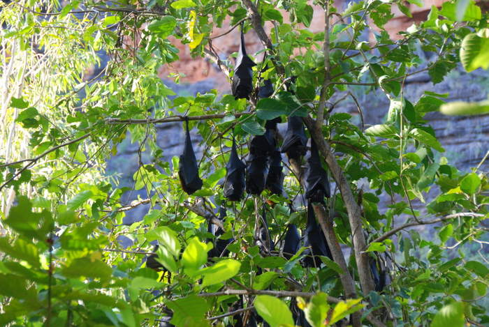
- Black Flying Foxes or Black Fruit Bats (Pteropus alecto).
- Native to Australia, Papua New Guinea and Indonesia.
- Colonies of the bats can number tens of thousands.
- They are not a threatened species.
- May be a disease vector.
- Black Flying Fox or Black Fruit Bat (Pteropus alecto).
- Return to camp.
- So much clearer in The Outback.
Tunnel Creek
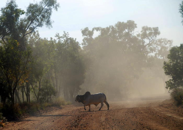
Leaving Windjana we took a 33 kilometre detour south to Tunnel Creek. Dust, unfenced road and wandering cattle equals hazardous driving conditions.
- Brahmin cattle.
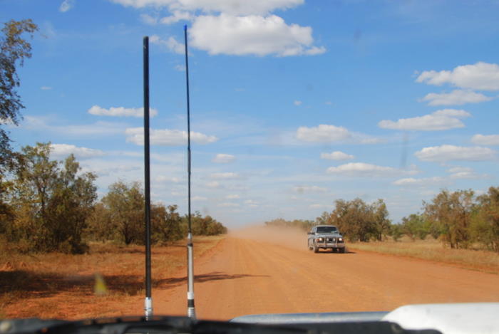
- Lots of dust
- Lots of cattle
- Beasts weighing close to two tonne appear out of the dust and wander across the track.
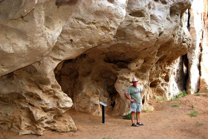
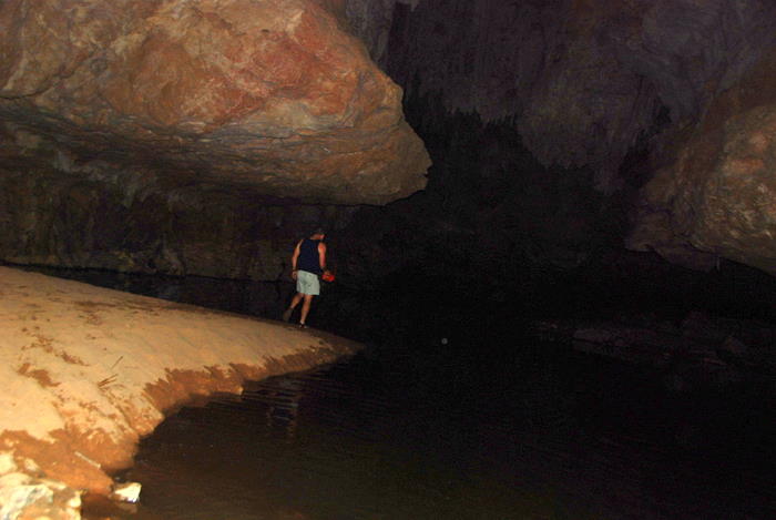
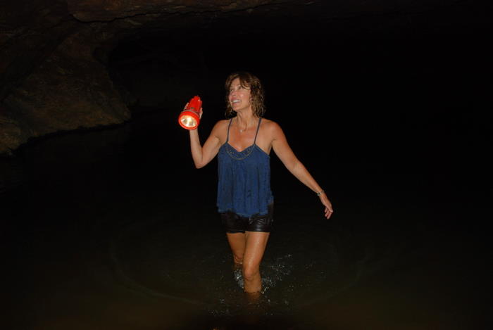
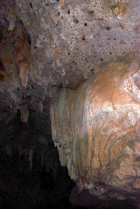
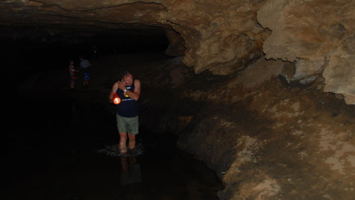
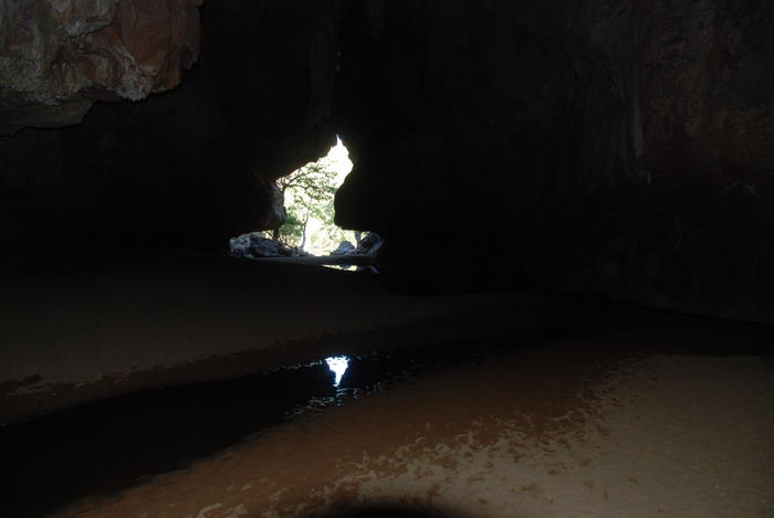
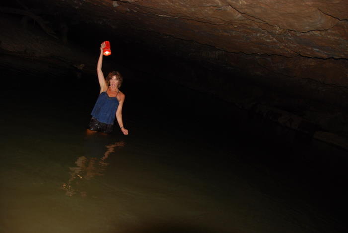
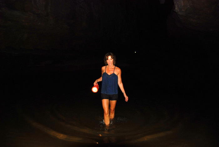
Tunnel Creek is a 750 metre long underground passage carved out of the limestone of Napier Range by flowing water. The creek once flowed across the top of the Range but water seepage gradually enlarged fractures in the limestone until it reached today’s underground course. The Tunnel is up to 12 metres high and 15 metres wide and contains permanent pools of fresh water in which freshwater crocodiles are found.
In the late 19th century, it was a hideout for the aboriginal Jandamurra while evading Police for crimes of murder and robbery. In earlier times the tunnel was known as the Cave of Bats, as at least five species of bat are known to inhabit it.
- It gets dark fairly quickly.
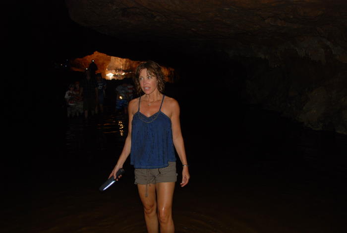
Tammy was way, way out of her comfort zone. To her credit she made it all the way to end of the cave.
The bats did nothing to alleviate her fears.
I didn’t tell her about the resident crocodiles until after we had returned to the entrance.
- The end of the tunnel is in sight
- From this point there is no option but to return back through the tunnel
Tammy’s realisation that she would have to make a second journey through the Tunnel was a real challenge for her. Brave girl. She kept her cool, conquered her fears and after she climbed back out to daylight was able to celebrate a personal victory.
- Just as scary
- on the return.
To Silent Grove
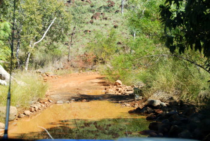
The road back to the Gibb was in terrible condition, corrugated, pot holed and dusty.
- Napier Range is part of an
- ancient limestone Devonian reef system
- south of and parallel to
- the King Leopold Range.
- Oncoming Oka. The Oka was an Australian manufactured 4WD.
We turned back onto the Gibb River Road, heading towards our planned overnight stop at Silent Grove. A few kilometres to the north-east we passed what is colloquially known as Queen Victoria’s Head.
- This pass through the Napier Range is officially known as Yammera Gap but for obvious reasons one can see why its unofficial name is Queen Victoria’s Head.
- Typical rangelands along the western part of the Gibb. View from the Lookout at Stumpys Jumpup.
Lennard Gorge
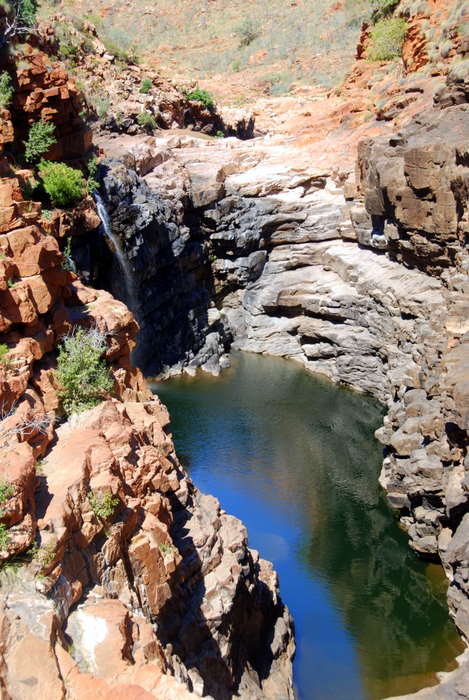
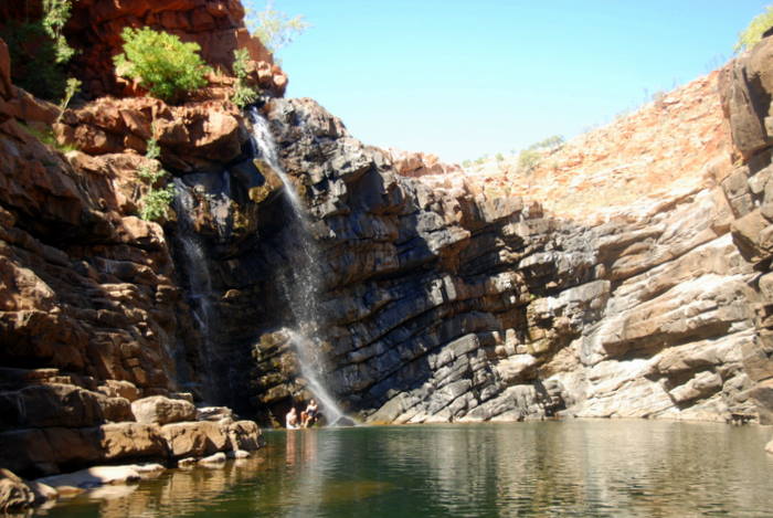
Our next stop, Lennard Gorge, is a few kilometres past Inglis Gap. Lennard Gorge is a spectacular waterfall and swimming hole formed by the Lennard River as its cuts its way through the King Leopold Range. The track into the gorge is rough and the path from the carpark to the waterhole is indistinct.
- Still waters of the Lennard River.
- The Lennard River crosses the Gibb River Road.
- Intervention by the Park Managers means that visitors now have walk a kilometre or so to the gorge instead of driving to the immediate vicinity.
- On the track into Lennard Gorge.
- To Lennard Gorge.
- Dragonfly
- The swimming hole at Lennard Gorge.
- Lennard Gorge swimming hole.
- Kim at swimming hole.
- Kim and Tammy at Lennard Gorge.
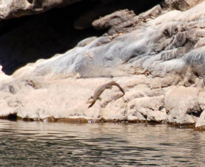
- Water Monitor.
- Leaving Lennard Gorge.
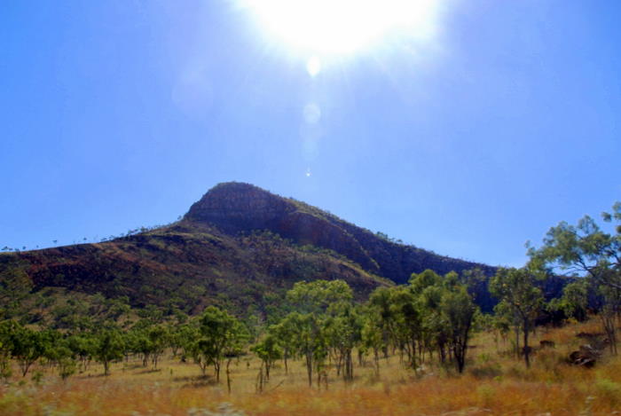
- Unnamed peak in the King Leopold Range on the drive into Lennard Gorge.
- Lennard River.
- On the Gibb River Road.
- Rangelands
- Rangelands
- Rangelands
- On the Gibb River Road.
- Bell Creek
Silent Grove/Bell Gorge
The campsite at Silent Grove was nearly full. The resident Monitor lizard was fed by everyone.
- Monitor
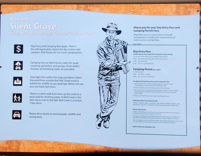
Silent Grove is the campground for Bell Gorge, the most popular gorge and waterfall along the Gibb.
- On the walk track into Bell Gorge.
- Track into Bell Gorge.
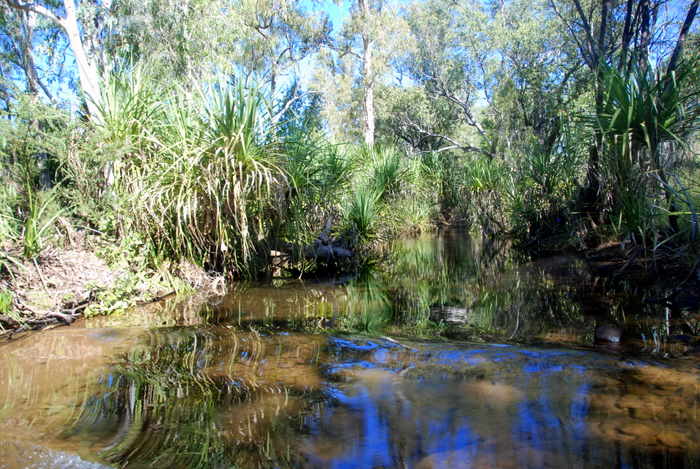
- Bell Creek
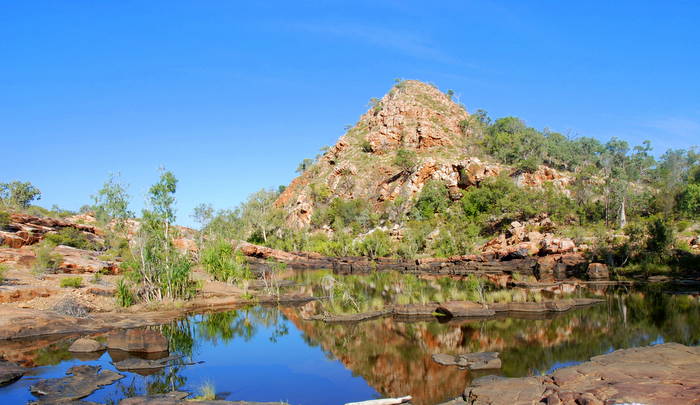
- Pool above the waterfall on Bell Creek.
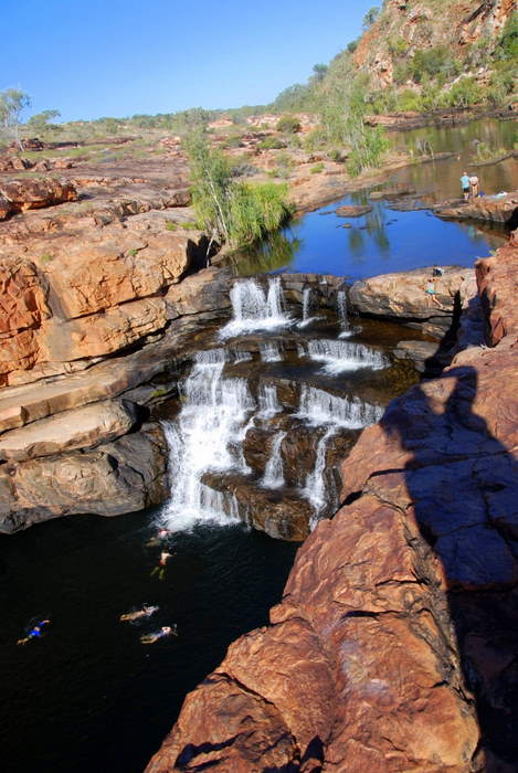
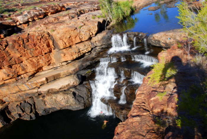
- The waterfall at Bell Gorge.
- Waterfall at Bell Gorge.
- Waterfall at Bell Gorge.
- At Bell Creek.
- Bell Gorge
- EASTERN SECTION OF THE GIBB RIVER ROAD.
Manning Gorge
It’s about 10 kilometres from the Silent Grove campground out to the Gibb River Road. Once back on the Gibb we passed the Isdell Range and continued north-east.
- Windmill and tank.
- Cattle yards.
- Rangelands around Mt House.
- Mount House Station.
Manning Gorge
- Track into Manning Gorge.
- Track to Manning Gorge.
- Kapok Bush. Aboriginals bake the roots of small kapok bushes.
- Bachelors Buttons.
- Passengers.
- Flannel Bush.
- Swimming hole at Manning Gorge.
- Usually at this time of the year Manning Falls would be only a trickle.
- Manning Gorge Vixen.
- Lucky to see the waterfall running at Manning Gorge.
- It was hot
- but the water temperature was decidedly cool.
- The long walk in deters a lot of people but it is still a popular spot.
- Too cold to swim in comfortably even though it was a hot day.
- Manning Falls.
- We were lucky enough to have Manning Gorge to ourselves.
All too soon it was time to return to the vehicle. It was a long walk back. The flies were friendly.
- The track to/from Manning Gorge.
- Grevillea
- On the way in to Manning Gorge.
- Walking in to Manning Gorge.
- The track to/from Manning Gorge.
- On the walk out of Manning Gorge.
- On the walk out of Manning Gorge.
- Wild hibiscus, an import from South Africa.
From Manning Gorge we continued generally east past Mt Barnett. The road follows a stock route from Mt Barnett to about where it crosses the Hann River at which point its course becomes more northerly.
Kalumburu Road
The Gibb River after which the road is named does not actually cross it. The closest the road gets to the river is a couple of kilometres before the Kalumburu Road intersection in the Gibb Range at which point is 1.7 kilometres distant.
We didn’t have time to drive the 267 kilometres to Kalumburu.
- Directional signpost at the intersection of Gibb River Road and Kalumburu Road.
- Map of the Kimberley.
- At the intersection of Kalumburu and Gibb River roads.
- Gibb River Road.
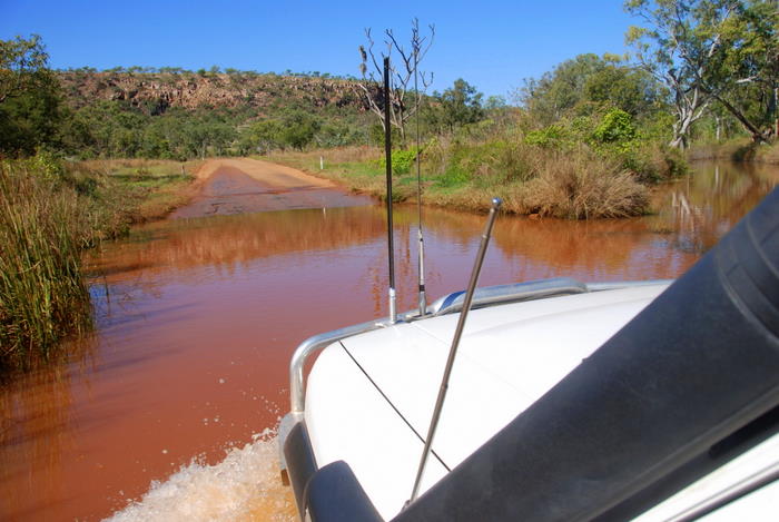
- Another water crossing.
- Plenty of water in this creek on the Gibb River Road.
- On the Gibb River Road.
- On the Gibb River Road.
- Wandering cattle on the Gibb River Road.
- Dingo
- On the Gibb River Road road trains are restricted to ‘doubles’.
- On the Gibb River Road.
- On the Gibb River Road.
- On the Gibb River Road.
- No fences in the rangelands so wandering cattle were an ever present hazard.
- Pentecost Range
Home Valley Station
We crested the Pentecost Range to be rewarded with magnificent views of the Pentecost River Valley and Cockburn Range. With concentration one could see Home Valley Station, our destination and planned stop for the night.
- Pentecost River
- Home Valley Station Campground.
Kimberley nightlife, outback style, as delivered by Home Valley Station.
- Home Valley Station.
- The bar at Home Valley Station.
- The bar at Home Valley Station.
- Kim at Home Valley Station.
Home Valley Station overlooks the Bindoola Creek which flows into the Pentecost River. It is a working cattle station that, since 2006, has diversified into providing tourism services. At just over 14,000 square kilometres it is the largest station in Western Australia and the fifth largest in Australia. It is larger in area than 40 sovereign nations of the world.
Pentecost River
After we packed the camper trailer we followed a few station tracks down to the Pentecost River. There was no doubting we were in ‘croc country’.
- At Pentecost River, Home Valley Station.
- Pentecost River, Home Valley Station.
- Pentecost River, Home Valley Station.
- The iconic Pentecost River crossing.
- Pentecost River crossing.
Zebedee Springs
We were nearing the end of our adventure along the Gibb River Road but there was still the ‘jewels’ of Zebedee Springs and Emma Gorge (in El Questro Wilderness Park) to come.
- On the track in to Zebedee Springs.
- On the track into Zebedee Springs.
- On the track in to Zebedee Springs.
- Zebedee Siren.
- Tammy enjoying herself in Zebedee Springs.
- Tammy enjoying herself in Zebedee Springs.
- Tammy enjoying herself in Zebedee Springs.
- Zebedee Springs
- Zebedee Springs – a Wonder of the Kimberley.
Emma Gorge
Emma Gorge Resort is 22 kilometres from Zebedee Springs – both part of El Questro.
- Cockburn Range
- At Emma Gorge Resort.
- Emma Gorge Resort
- Tap inset in boab tree.
- It works.
The walk to the swimming hole at the top of the gorge takes about 30 minutes.
- On the way up to the swimming hole.
- Kim at Emma Creek.
- Clear water
- Swimming holes all along the creek.
- Emma Gorge swimming hole.
- Mini waterfall even in the dry season.
- Emma Gorge
- Tammy is under a 65 metre drop waterfall.
- Emma Gorge
- Another swimming hole along the creek.
- Another swimming hole along the creek.
- Returning to the Resort.
- Walking and swimming built up a hunger.
- Aussie Tammy.
The Grotto
We drove out of Emma Gorge and turned left onto the Gibb for the last 25 kilometres of its length. It T junctions with the Great Northern Highway near Mount Harrison. The Highway runs a further 50 kilometres north to Wyndham giving it a total length from Perth of 3200 kilometres. It is the longest highway in Australia. Left to Wyndham, right to Kununurra. Just before Wyndham is The Grotto.
- Information sign The Grotto.
- Entrance to The Grotto.
- The Grotto.
- Descending to the pool.
- Steep descent.
- We didn’t swim.
- The Grotto.
Wyndham
Leaving The Grotto it was a short drive to colourful, historic Wyndham – the hottest town in Australia. Wyndham is at the bottom of the Cambridge Gulf – the endpoint of five rivers (Durack, Pentecost, Ord, King, and Forrest).
- Sublime example of Wyndham architecture.
- Elevated to get air flow underneath.
- In Wyndham.
- Another example of Wyndham architecture.
- Old Wyndham.
Five Rivers Lookout
No visit to Wyndham is complete without a visit to Five Rivers Lookout at the top of The Bastion.
- View from Five Rivers Lookout
- Directional plaque at Five Rivers Lookout.
Parry Creek
We preferred Parry Creek Farm for our overnight stop. It is in the Parry Lagoons Nature Reserve – 36,000 hectares of pristine wilderness that is a Wetland of International Importance. The Reserve is a feeding and breeding ground for many migratory waders. It is also a drought refuge for all of the Kimberley’s waterbirds.
- Road into the Parry Lagoons campground.
- Tammy laughing at Kim’s effort to remove a frog from the camper.
© Kim Epton 2010-2024
2151 words, 228 photographs, two images..
Feel free to use any part of this document but please do the right thing and give attribution to adventures.net.au. It will enhance the SEO of your website/blog and Adventures.
See Terms of Use.


