The source of the Avon River – on which (after a name change to Swan River) the capital city of Western Australia is located – was accurately determined for the first time on this trip. Though the data to do this has been readily available for interpretation, a field check by either government or private entities to confirm the source has never previously been made.
Apart from determining the precise source of arguably Western Australia’s most important watercourse, the Avon Ascent followed the route (in reverse) of one of Western Australia’s most iconic events, the Avon Descent, to its start point in Northam. The Avon Descent is a wildwater race for powerboats and paddle craft that started in 1973. It has developed into one of the major events in Western Australia. More information.
The Avon Ascent
The Avon Ascent started from the finish point of the Avon Descent – Riverside Gardens in Bayswater.
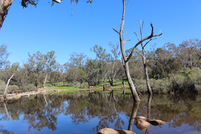
We headed to Bells Rapid (the last major obstacle of the Avon Descent).
The place was abuzz with paddlers preparing for a downriver race the next day, bushwalkers setting out to explore the Walyunga National Park and people just enjoying the natural beauty of this great recreational location that is so easily accessible to Perth residents. Coincidentally we met with Darryl Long, one of the eight Avon Descent ‘Legends’, who was assisting with preparations for the next day’s race.
After an unsuccessful attempt to find a shortcut from Brigadoon to Toodyay Road we returned to Campersic Road and powered up Red Hill. Following the theme of the Avon Descent (in reverse) we visited Posselts Ford, the Cobbler Pool Overnight Campsite, West Toodyay Bridge, Toodyay and Katrine (all important Avon Descent checkpoints) before heading into Northam, where the event starts.
-
- The pool at Posselts Ford.
-

- On the side of Cobbler Pool Road.
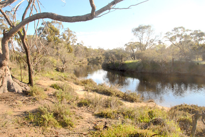
We followed the river up through York to Beverley.
-

- Avon River at Beverley.
-

- Derelict farm house on Caudle Rd south of Beverley.
-

- Graham and Dermot at County Peak.
Our route took us along Yenyenning Road and, having picked up a bit of time, we decided to visit County Peak before we made for our overnight campsite.
In August 1866 explorer/surveyor C.C. Hunt referred to this granite outcrop as Quajabin Peak, a name derived from the Nyungar language. ‘Quaja’ refers to bone and the suffix indicates either an ‘action’ or ‘belonging’ so it may be a ‘bone place’ or the act of ‘boning’ – that is, placing a curse. Strange events such as sightings and voices coming from the air are associated with this place. The results of investigations by various paranormal groups over the years are ‘undetermined’ – and from the critical thinking perspective of a skeptic, a reasonable viewpoint, if somewhat understated. Ghosts at the top of the hill, fairies at the bottom.
-

- From County Peak.
-

- Sara and Tim at County Peak.
-

- County Peak vista.
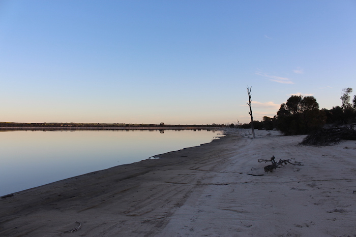
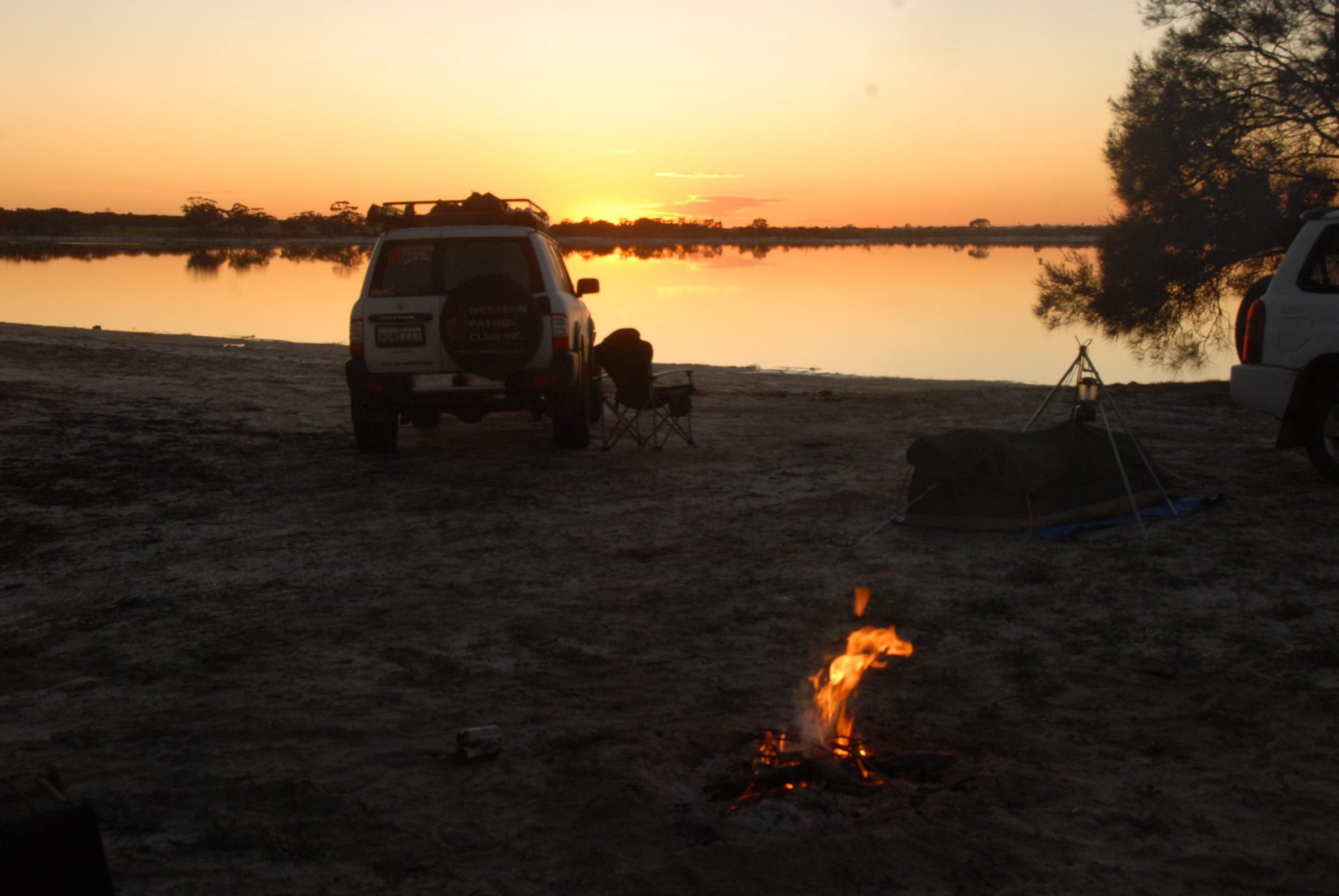
We camped on the edge of Yenyenning Lakes, a setting both bucolic and memorable – peaceful, beautiful and tranquil. Yenyenning comes from the Nyungar name ‘nyin nyinniny’ meaning ‘sit sitting’ – a place to sit and rest by the water. And that is what we did.
-

- Relaxing at Yenyenning
The lakes are part of the extensive ancient drainage system from around Kellerberrin to Yealering, forming part of the catchment of the Avon River. They seem to have always been salty.
-
- Yenyenning Lake
-
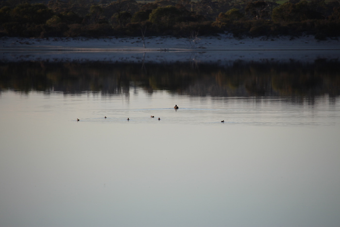
- Ducks on Yenyenning Lake.
-
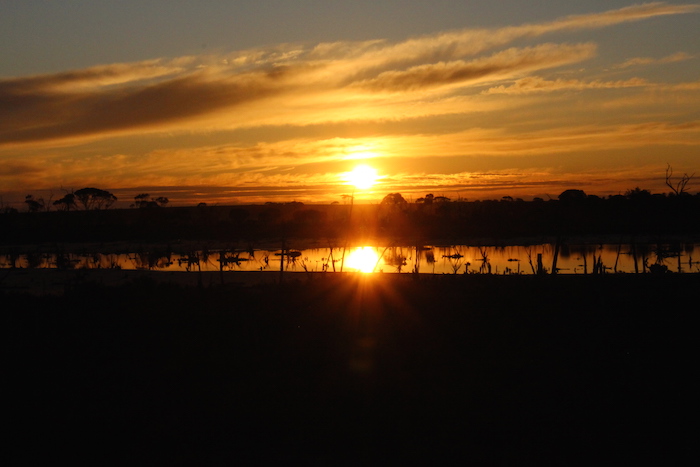
- Sunset over the lake.
-

- At Yenyenning.
A magnificent sight to wake up to as the sun rose. Vistas like this are the reason we seek out these precious engagements with Western Australian nature.
-
- Early morning at Yenyenning Lakes.
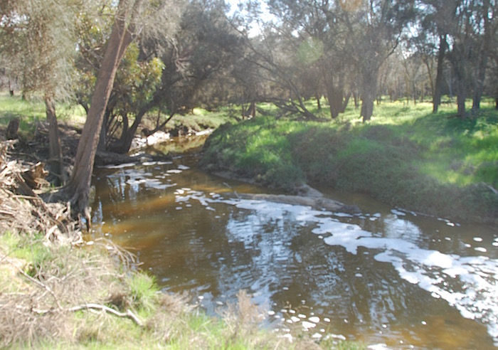
The outfall of the Yenyenning Lakes provides much of the water for the Avon River – but clearly not all. The volume of water coming downstream far exceeded that from the lakes. The recent heavy rains over a large part of the agricultural areas meant that the Avon River and many other smaller creeks and gullies were flowing. Falls of between 50 mm and 100 mm were common over the last two days of July.
-

- Single twisted barbed wire.
-
- Avon River at the Yenyenning Lakes outfall.
-

- Tim takes his Patrol through the small riverbed.
-

- Gutter at Quandary Road leading into the Avon River.
-

- The old Kweeda Bridge.
-

- Kweeda causeway.
-

- The new Kweeda bridge..
-

- From the Boyagarra Bridge.
-

- Boyagarra Pool.
-
- Avon River at Boyagarra Bridge.
The Source of the Avon River
The course of the river took us to Yealering and it is here, at the confluence of the Cuneenying Brook and Waleellemining Brook, that the Avon River receives its name. A dirt road along a railway allowed us to get within a few hundred metres of that point.
Finding the actual hydrological source was a little bit more difficult. Maps show that Waleellemining Brook starts in the East Yornaning Nature Reserve, and that is the watershed, but the lie of land suggests that it starts in a farmer’s paddock off Commodine Road, Wickepin, slightly to the north-west of the Reserve. The source is at 32°44’9.66″S 117°22’35.86″E. More information.
-

- Source of the Avon River.
© Kim Epton 2015-2024
880 words, 26 photographs.
Photographs:
Tim Howe
Sara Slavin
Kim Epton
Feel free to use any part of this document but please do the right thing and give attribution to adventures.net.au. It will enhance the SEO of your website/blog and Adventures.
See Terms of Use.
