David Carnegie Highway
Fifteen kilometres west of ‘Chooka’ the David Carnegie Highway leads off to the north – past Breaden Bluff and Empress Springs – before eventually intersecting with the Gunbarrel Highway. The track continues north of the Gunbarrel from where is is known as the Eagle Highway – but often the entire track from the Great Central Road is termed Eagle Highway.
- Camels on David Carnegie Track.
The Honourable David Wynford Carnegie led two expeditions of exploration through the Great Victoria Desert in 1896-97. Water was always scarce and their journey was a continual search for water.
Breaden Bluff
The David Carnegie Track passes Breaden Bluff, an interesting breakaway full of overhangs, caves, rocky crevices and spindly vegetation. They are named after Joseph A. Breaden (1859-1924), a member of Carnegie’s party.
Though the current day track has been routed close by, Carnegie never actually never visited them, only recording them from his vantage point on a small ridge near Empress Spring.
- Breaden Bluff.
- Breaden Bluff.
Thirteen Days Without Finding Water
On 10 August 1896, early in the journey from Coolgardie to Halls Creek, he was in desperate need of water for his men, and team of camels. They had been 13 days without water.
- David Carnegie track.
Empress Springs
He pressed a local aboriginal into a search for water. King Billy, as the local was nicknamed, led the expedition to a water source he termed Murcoolia Ayahteenyah.
Carnegie recorded it on his Exploration Roll as Empress Springs. He believed it to be a permanent soak.
- I wonder what was on the missing sign?
- At Empress Springs.
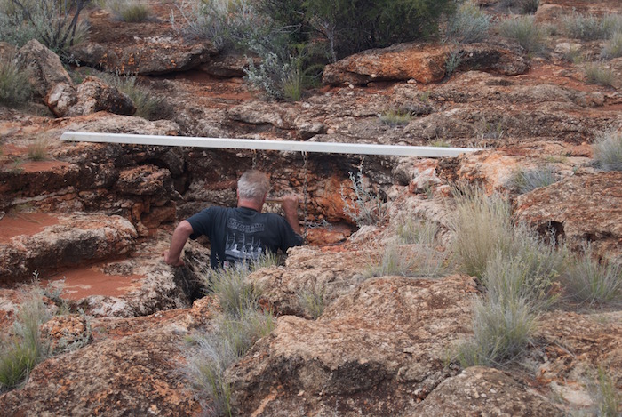
- Scott entering Empress Springs.
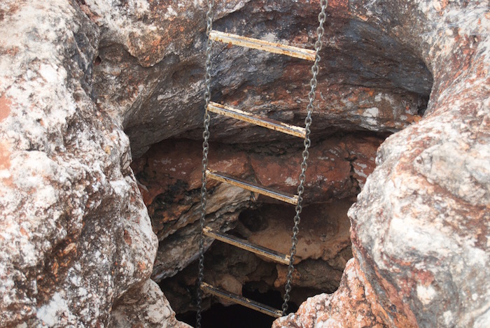
- The chain ladder into Empress Springs is quite robust, however, the mounting of the support beam is a bit sketchy.
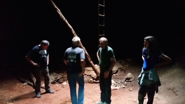
- Dan descends into Empress Springs.
- In Empress Spring.
On the return to the Great Central Road we stopped to collect wood and noticed that Seb’s vehicle was leaking fuel. Scott applied some metal sealant that solved the problem.
- Last light on the Great Central Road.
© Kim Epton 2016-2024
366 words, 11 photographs.
Feel free to use any part of this document but please do the right thing and give attribution to adventures.net.au. It will enhance the SEO of your website/blog and Adventures.
See Terms of Use.


