Day 1 – Saturday 17 May 2025
-
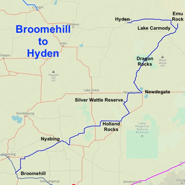
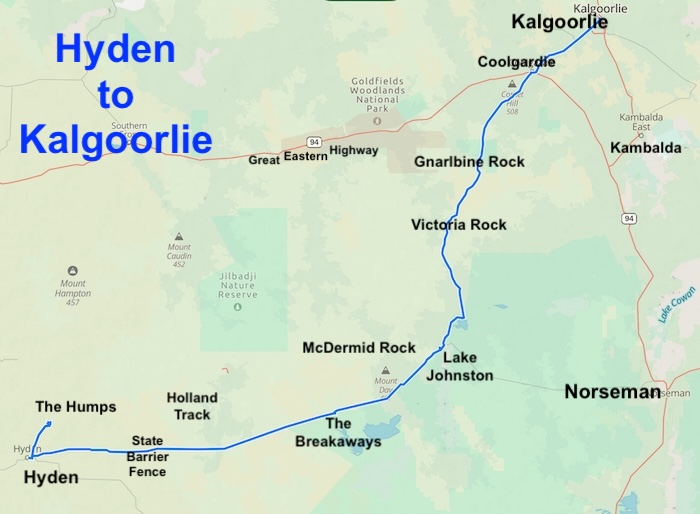
- ROUTE OF DAY 1
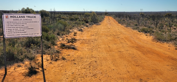
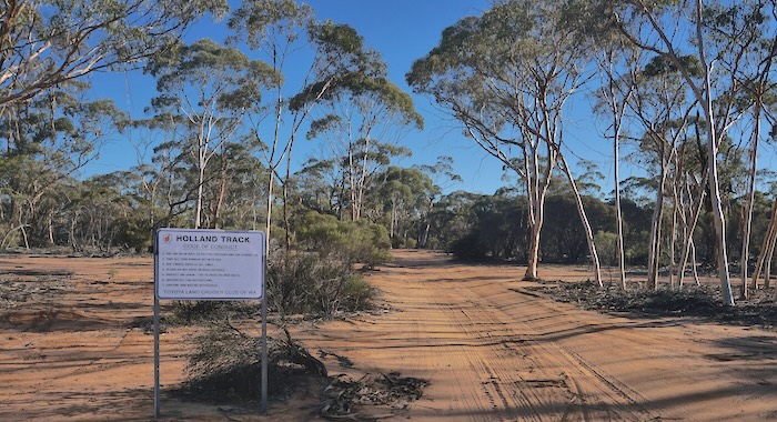
The rationale for starting this Eastern Goldfields Mining History Tour at Broomehill was that this is where the Holland Track started. This bush track, completed only weeks after Paddy Hannan’s discovery at Kalgoorlie, enabled thousands of hopefuls (many of whom where ‘t’othersiders’) to access the goldfields quicker, easier and cheaper than by travelling to Perth from Albany by coach (or to Fremantle by ship) and then continuing to Southern Cross, perhaps by train or coach, and eventually Kalgoorlie. Read a comprehensive history and description of the Holland Track on the Wells and Tracks website.
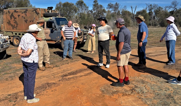
The Tour departed Broomehill and travelled through farming country to Nyabing and then to Holland Rocks for lunch.
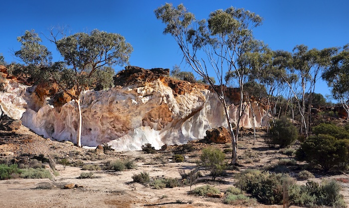
Holland Rocks
Lunch at Holland Rock.
-
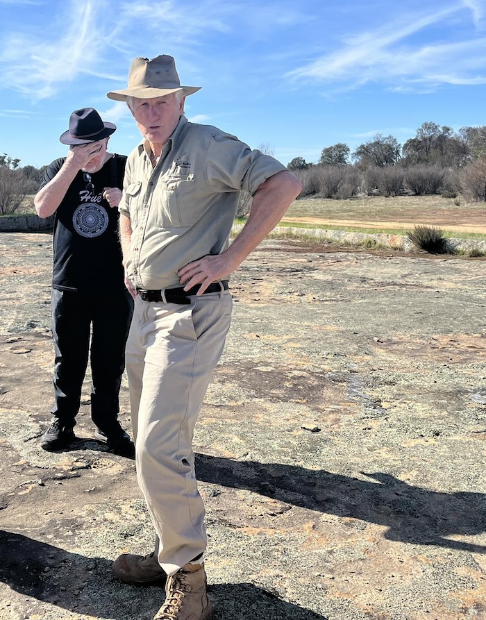
- Wayne Monks of Great Southern Tours and Accommodation who put this Tour together and behind him doing the face slap is very talented photographer, Richard Carver. Photo Tassy Epton.
-
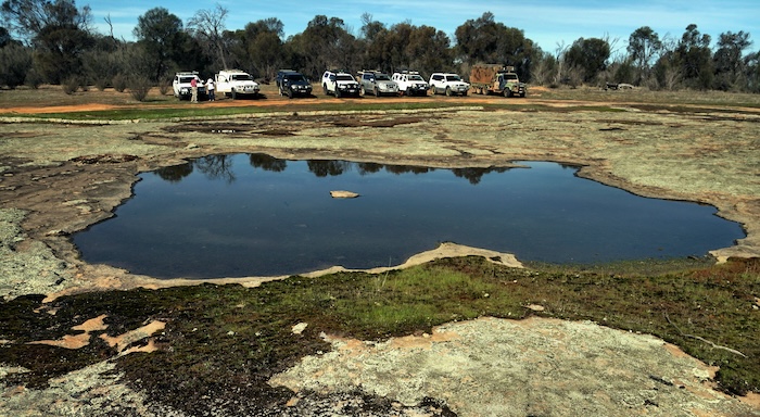
- Pool at Holland Rock. Photo Richard Carver.
-
- At Holland Rock. Photo Richard Carver.
-
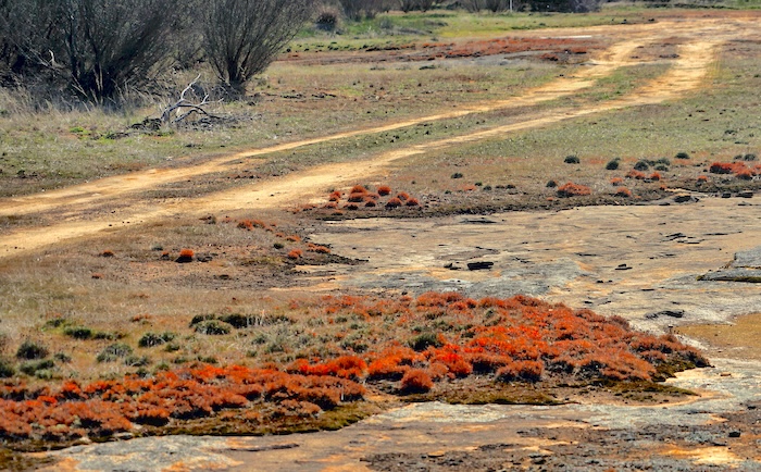
- The orange hue of the plants is evident only in those fringing rock pools. Photo Richard Carver..
Silver Wattle Hill Nature Reserve
Our convoy visited Silver Wattle Hill Nature Reserve for a walk along a short section of now unused and nearly forgotten Holland Track.
-
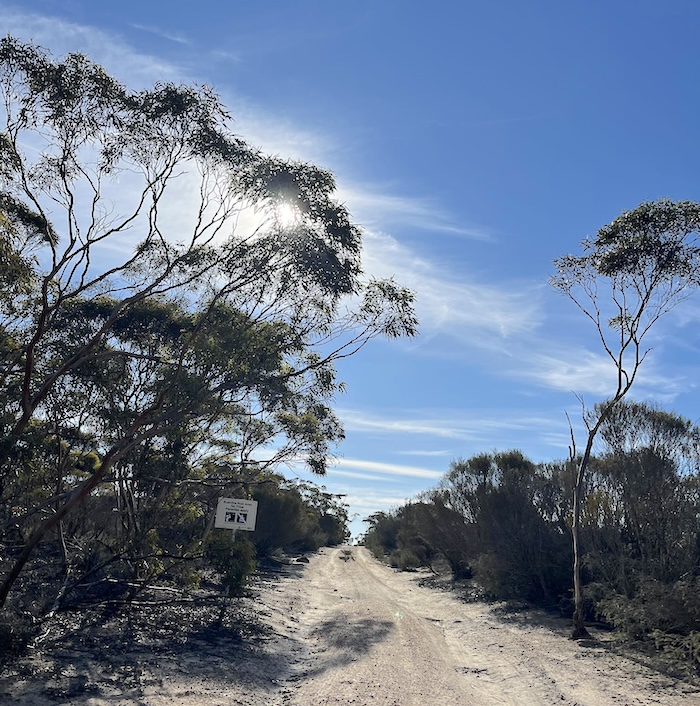
- Track into Silver Wattle Hill Nature Reserve. Photo Tassy Epton.
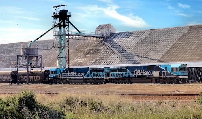
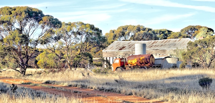
Newdegate
Newdegate was an opportunity to refuel and enjoy the public silo art.
-
- Newdegate Wheat Silo.Photo Richard Carver
-
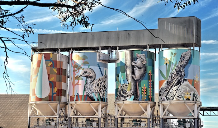
- Nedegate Silo Art. Photo Richard Carver.
Lake Biddy
The small hamlet of Lake Biddy has been abandoned.
-
- Lake Biddy Town Site. Photo Richard Carver.
Dragon Rocks Reserve
The Tour passed through the Dragon Rocks Reserve. The name given to these rocks in 1919 by Surveyor H. Barclay is an acknowledgement of the abundance of Dragon Lizards in the vicinity.
-

- At Dragon Rocks Reserve. Photo Rod Dally.
Emu Rocks
The day was dragging on and it was clear we were going to be late into Hyden. Walking (rather than driving) into Emu Rocks exacerbated the situation.
-
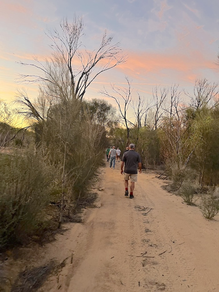
- Walk into Emu Rocks. Photo Tassy Epton.
-
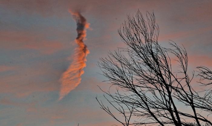
- Emu Rocks Sunset. Photo Richard Carver.
-
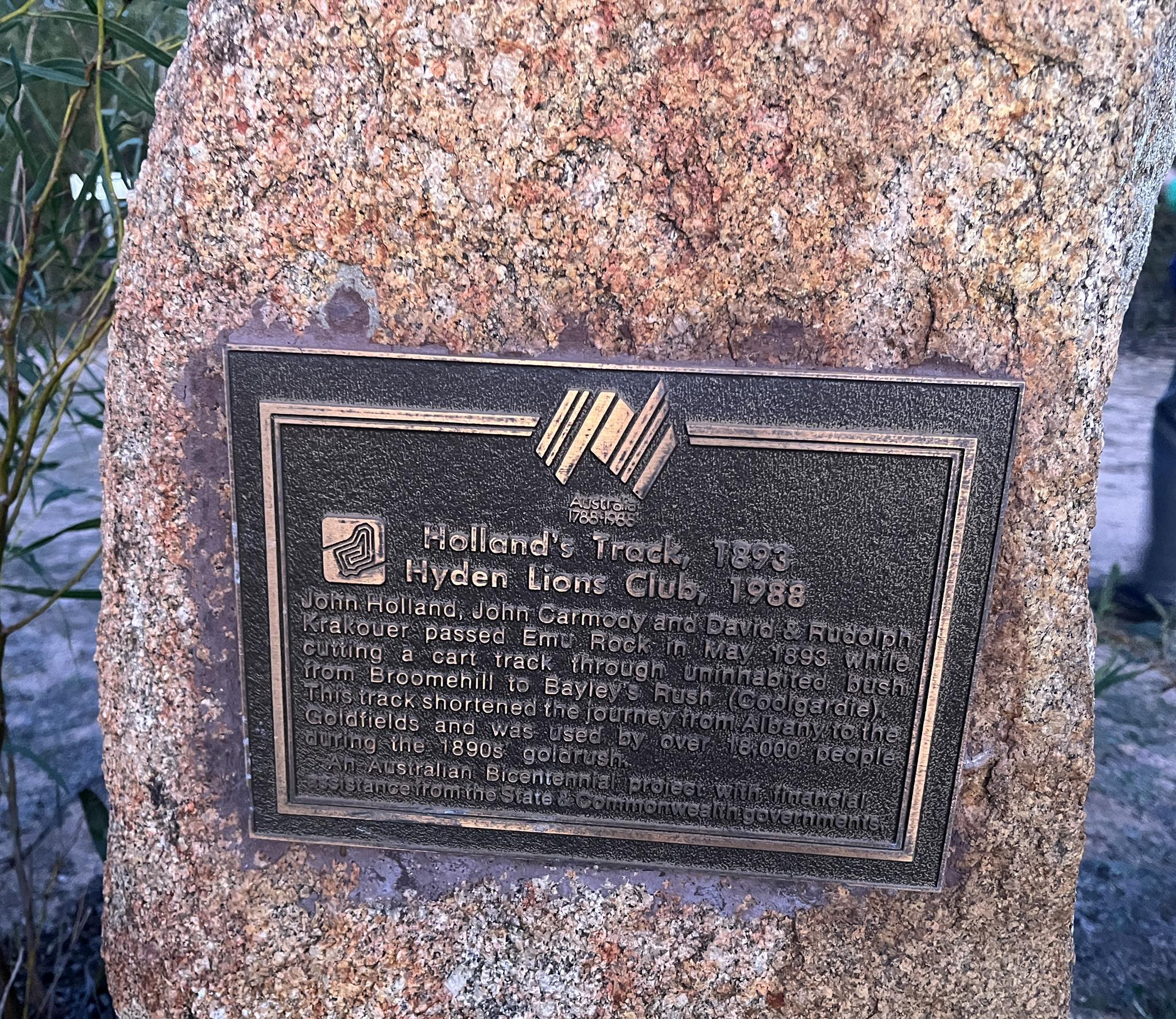
- Bicentennial plaque at Emu Rocks. Photo Tassy Epton.
-
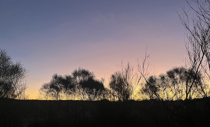
- Sunset at Emu Rocks. Photo Tassy Epton.
The six kilometres of track north of Emu Rocks to the Hyden Norseman Road was considered to be too rough to traverse so we retraced our route southwards.
Not knowing the capabilities of the various drivers I made no comment although, as a result of a smash where my vehicle was T-boned on the Hyden-Norseman Road, I had towed the severely-damaged, offending vehicle over those same six kilometres into Emu Rocks with my severely-damaged (ultimately written off) vehicle without issue in 2021. We worked late into the night repairing the vehicles so they were in a condition where they could be driven back out to Hyden Norseman Road and then to Perth.
Perception is reality.
Hyden
Unable to gain entry to Wave Rock Caravan Park because of the late arrival hour Tassy and I camped with Rod at Wave Rock Short Stay. Thanks Rod.
Day 1 of the Tour finished at Hyden.
Additional photographs of Day 1.
Day 2 – Sunday 18 May
-
- ROUTE OF DAY 2
Hyden to The Humps
The Humps and Mulkas Cave are 19 kilometres north of Hyden.
-
- The Humps. Photo Richard Carver.
The water collected at the humps from harvest walls was an important water supply for Hyden. After completion of the Harris River Dam scheme that supplies water to the Great Southern region it is now only a backup (but important) water source.
-
- Returning walkers. Photo Richard Carver.
Mulkas Cave
Mulkas Cave has the largest collection of aboriginal paintings in the South West of Western Australia, clear indication of its significance. It was an important link between desert people and coastal people.
-
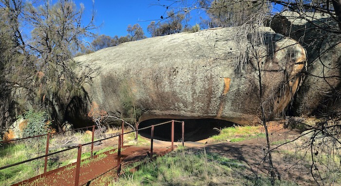
- Rock over entrance to Mulkas Cave. Photo Richard Carver.
-
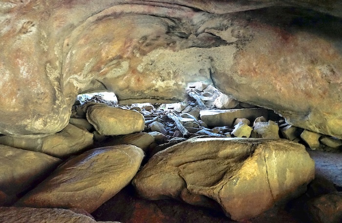
- Inside Mulkas Cave. Photo Richard Carver.
-
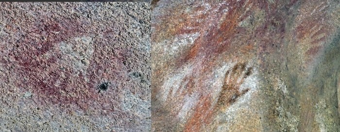
- Hand prints inside Mulkas Cave. Photo Richard Carver.
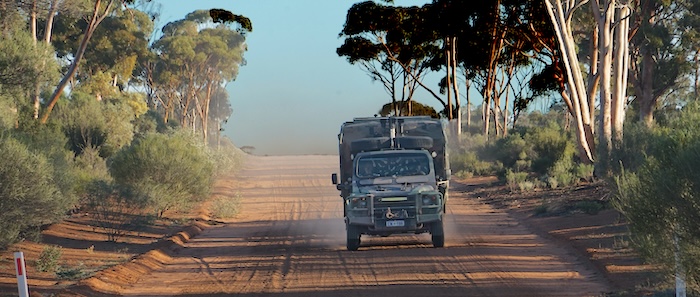
Hyden Norseman Road
We headed east out of Hyden on the Hyden Norseman Road. In the dark days of WWII when the now Eyre Highway was constructed without fanfare it was only political pressure that caused the transcontinental route to be diverted to Coolgardie rather than continue to Hyden.
-
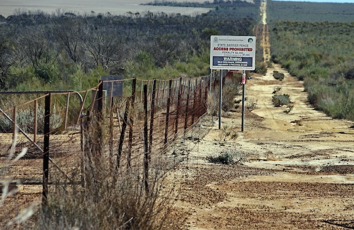
- State Barrier Fence. Photo Richard Carver.
With the current program of sealing the Hyden Norseman Road it will be interesting to see the change in traffic volume west from Norseman. Route 94 (Great Eastern Highway) is in disgusting condition unworthy of such an important link/artery and there is no doubt that light vehicles will choose the shorter and better route through Hyden after it is sealed. It is problematic whether heavier vehicles will be given permits to traverse this upgraded route.
-
- This point on the Hyden Norseman Road is often considered (erroneously) as the start of the Holland Track. Photo Richard Carver.
The Breakaways
The Breakaways are a fantastic site for a stopover or just a visit.
-
- Mottled Breakaways. Photo Richard Carver.
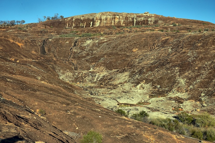
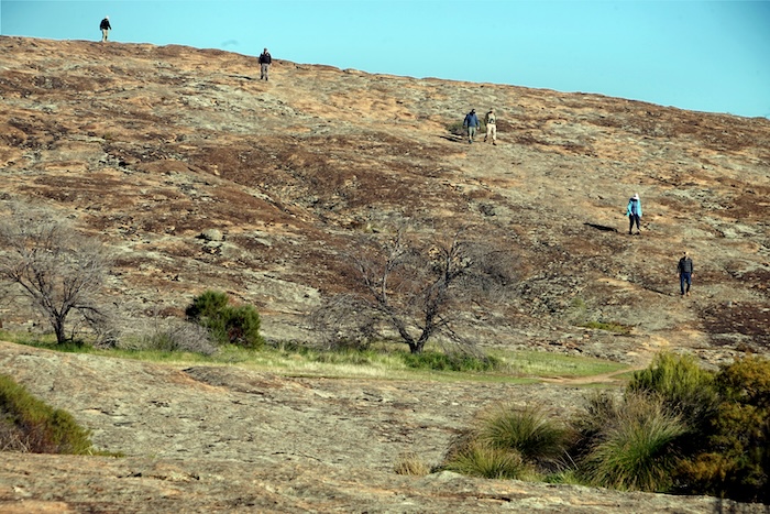
McDermid Rock
After lunch at The Breakaways we continued the push along Hyden-Norseman Road to McDermid Rock.
The climb to the top of McDermid Rock is reasonably easy.
-
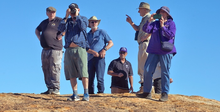
- Ivan, Eric, Ross, Rod, Wayne and Wendy att the summit of McDermid Rock. Photo Richard Carver.
-
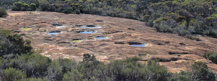
- Rock pools on McDermid Rock. Photo Richard Carver.
Our convoy turned north-east onto Victoria Rock Road.
-

- The sign at the intersection of Hyden Norseman Road and Victoria Rock Road is in error. It is 193 kilometres to Hyden not Kondinin. Photo Kim Epton.
As the Tour was nominally following the Holland Track it was appropriate to stop at its terminus with Victoria Rock Road.
-
- The northern terminus of the Holland Track at Victoria Rock Road. Photo Richard Carver.
-
- Ross arrives in his 6×6. Photo Richard Carver.
Gnarlbine Rock
The soaks at Gnarlbine Rock were extremely important for travelers to the Goldfields until C.Y. O’Connor’s pipeline was completed in 1903.
-
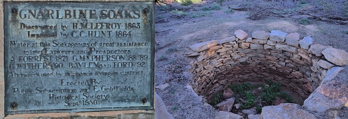
- Gnarlbine Soaks Plaque. Photo by Richard Carver.
-
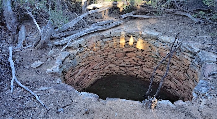
- Gnarlbine Well No.2 is of a later vintage than C.C. Hunt’s main 1865 well. Photo Richard Carver.
The Tour continued north through the Kangaroo Hills, into Coolgardie and then Kalgoorlie-Boulder.
Day 2 of the Tour finished at Kalgoorlie.
Additional photographs of Day 2.
Go to Around Kalgoorlie.
Go to Menu.
© Kim Epton 2025
1070 words, 28 photographs, two images.
Photographs
Richard Carver
Tassy Epton
Rod Dally
Kim Epton
Feel free to use any part of this document but please do the right thing and give attribution to adventures.net.au. It will enhance the SEO of your website/blog and Adventures.
See Terms of Use.