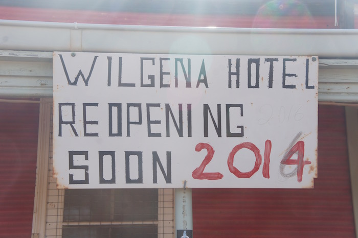
Tarcoola
While Dan and Steve will be ‘dining out’ on their road train extraction exploit for years, our next dining experience – lunch – was at Tarcoola, a largely-abandoned service town for the Trans Australia Railway.
-

- Winch.
-
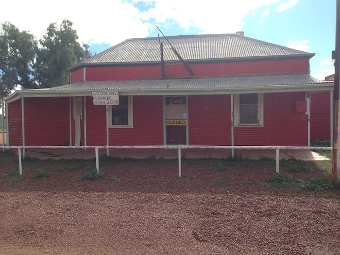
- Wilgena Hotel.
-
- Variable opening.
-

- Abandoned house.
Tarcoola had definitely seen better days. Leaving the ghost town was problematic. However, the side tracks weren’t closed – and were perfectly passable.

The next impediment was that the road we planned to use to shortcut to Stuart Highway required permits – that we didn’t have.

Kingoonya
There was no option but to head to Kingoonya and Glendambo. We were blown into Kingoonya by a near gale force wind that was non-existent at Tarcoola only 75 kilometres to the west-north-west.
-

- Kingoonya pub
Although the track north of Kingoonya towards Coober Pedy goes through the Woomera Prohibited Area, a permit is not required so we checked to ensure we had sufficient fuel and headed out.
-

- Track north from Kingoonya.

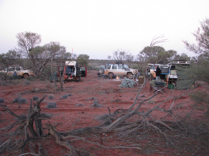
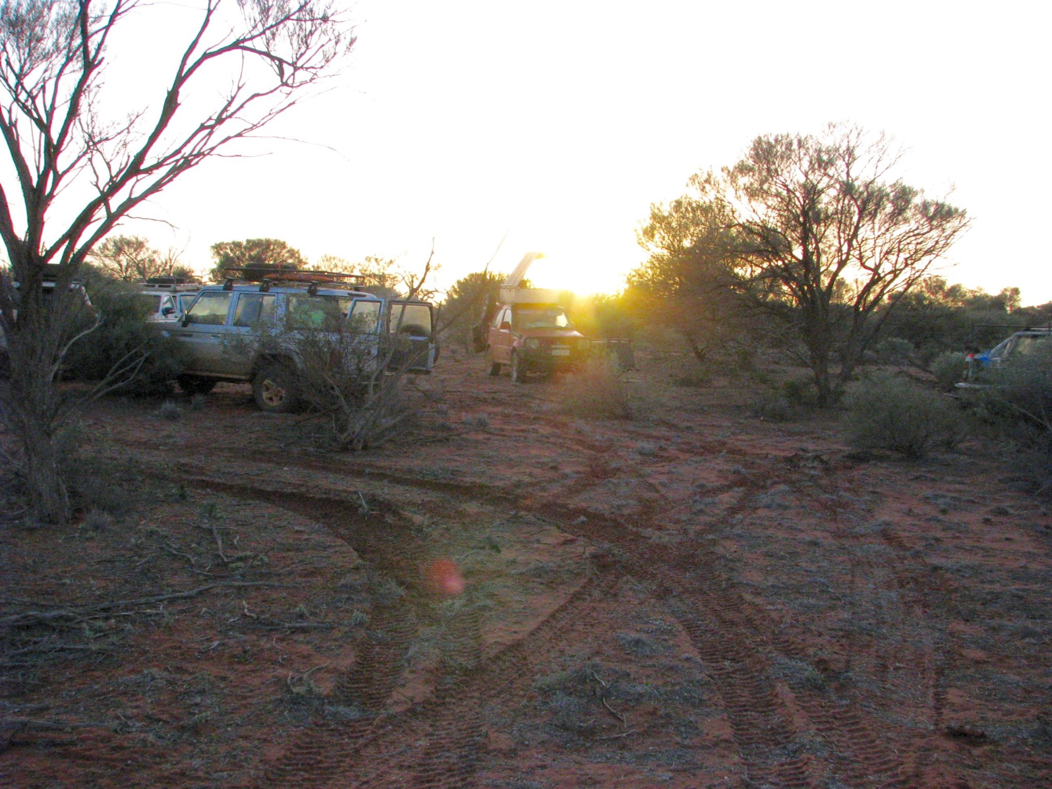
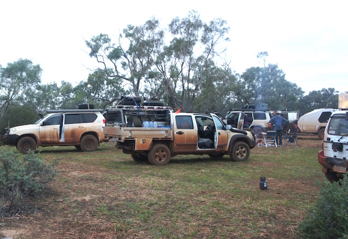
Bush Camp
After a short run north on Stuart Highway we turned off and found a bush camp, partly on the lee of a hill, offering a small amount of protection from the strong winds.
-
- Bush camp near Bulgannia.
-

- Steve, Kerry and Dan around the campfire.
-
- Bush camp near Bulgannia.
-

- Kim at his camp.
-

- BULGANIA TO OODNADATTA.
We threaded our way out of our overnight bush retreat back onto the access track and by 8.00 a.m. were underway north to Coober Pedy.
-

- Leaving camp.
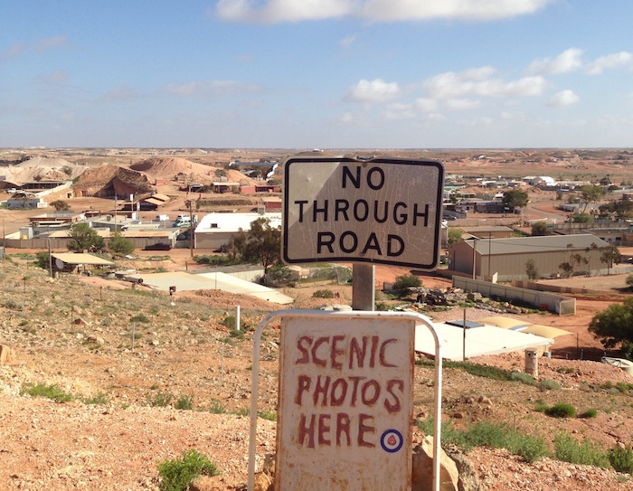
Coober Pedy
The first evidence of the opal fields starts about 55 kilometres south of Coober Pedy. Fences, signs, mullock heaps.
-

- Entry to Coober Pedy.
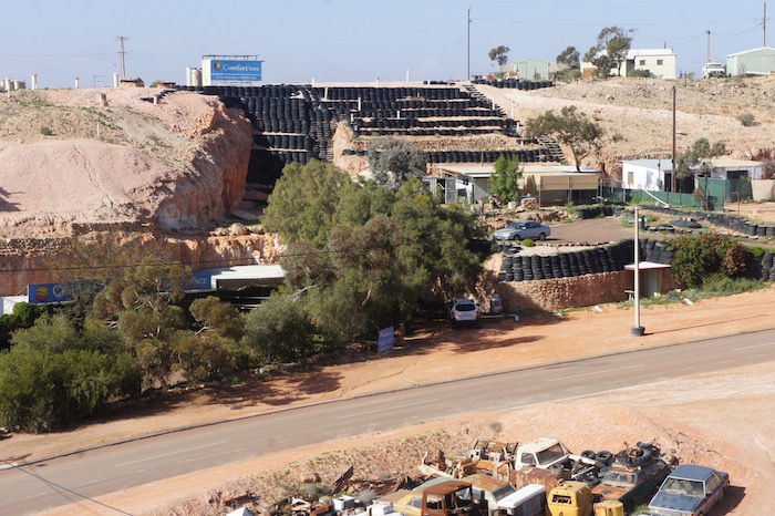
Coober Pedy is raw – the quintessential Australian outback mining town.
On arrival in town the group dispersed – showers, shopping, sightseeing.
-
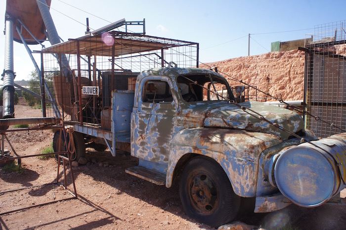
- Blower
-

- Door to a dugout

-

- Coober Pedy lookout.
-

- Too much spare time.
-
- Innovative use of tyres.
-

- Dugout entrance.
-
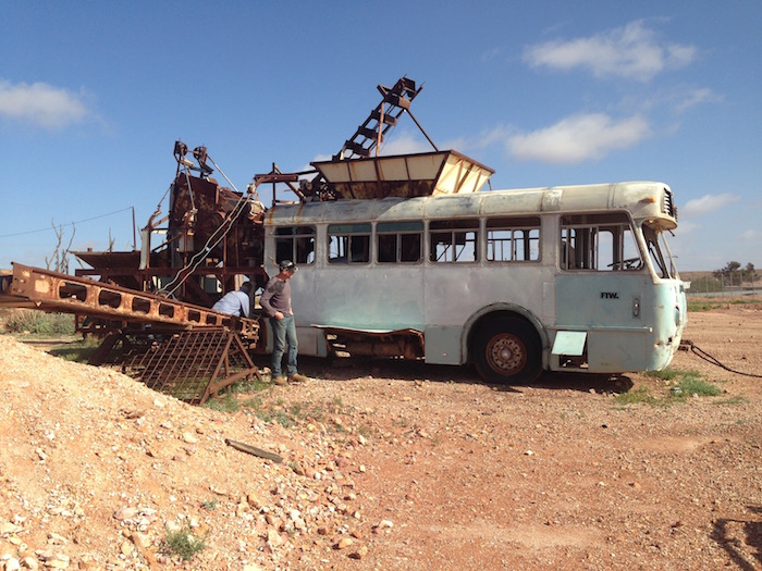
- Scott and Dan investigate a mobile hopper.
-

- Ross’s Rocket.
We caught up again with John and Lesley, and Ken and Estela to hear of their adventures when they headed north from Wirrulla.
Towards Oodndatta
Seven vehicles departed towards Oodnadatta around noon across flat, treeless gibber plains.
-

- Flat, open plains.
-
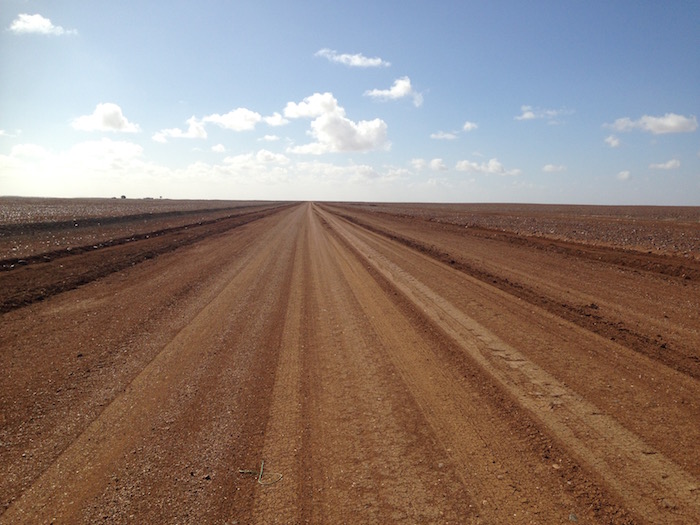
- Oodnadatta Track.
-

- Gibber plains.
The Track had only just reopened and water was everywhere.
-

- Water laying everywhere
Ninety kilometers from Coober Pedy we stopped at Lora Creek for lunch.
-

- Lora Creek.
-

- Lunch spot.
-

- Lora Creek.
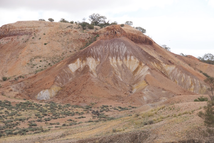
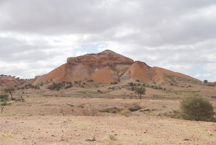
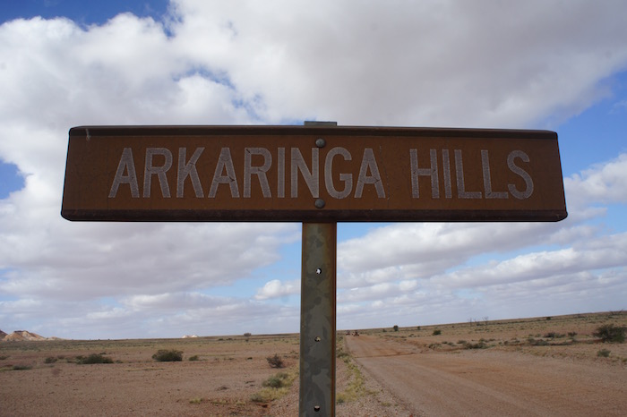
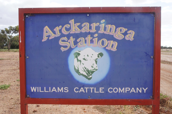
Painted Desert
About 20 kilometres after the lunch stop we turned left towards Arckaringa and the Painted Desert. Lots of water on the road.

-

- Painted Desert.

-

- Scott and Kerry.
-

- Steve, Dan, Lesley and John.
-
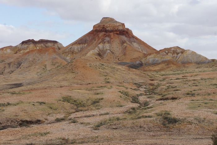
- Mesa.
-

- In the Painted Desert.
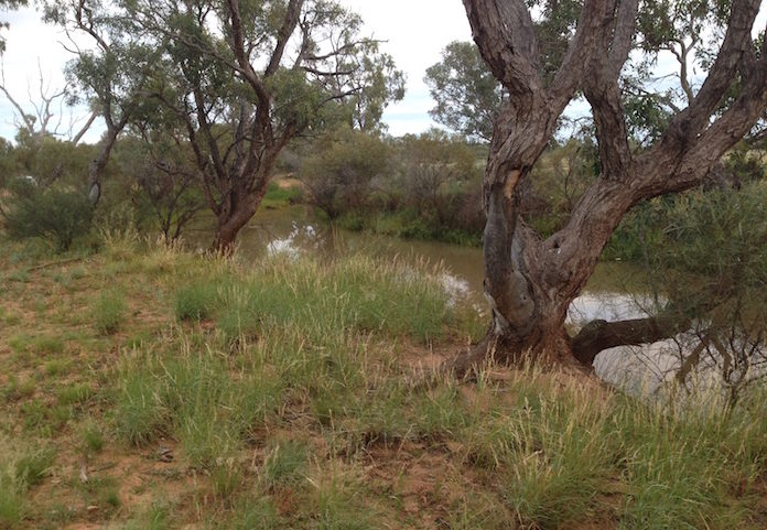
Hookey Waterhole Camp
Later in the afternoon I started looking for a campsite. I was a fair way ahead of the convoy and spent some time trying to find Hookey Waterhole, eventually locating it. The sign said no vehicle access so we camped on the opposite side of the road at a beautiful campsite on the edge of Stony Creek or one of its tributaries.
We estimated that, between Coober Pedy and Hookey Waterhole, we had driven through a minimum of 60 places where water was across the road.
Mechanical Issues
Scott had been aware of an unusual noise in the right rear wheel of his Jimny for some time and immediately on setting up camp he investigated. The diagnosis was a failed wheel bearing. He emptied weight from the Jimny and distributed it among the other vehicles. There was no option but to re-assemble everything and ‘proceed with caution’.
John had electrical issues. Resolved. Ken had stuff inside his caravan vibrating to bits.
-

- OODNADATTA TO ALICE SPRINGS.
-
- Camp Hookey.
-
- Hookey Waterhole.
Oodnadatta Roadhouse
Next morning we drove into Oodnadatta and had to wait for the Pink Roadhouse to open at 8.00 a.m.
The operator of the Pink Roadhouse in Oodnadatta is a very pleasant chap. But don’t ever break down there! Even though he tried to help Scott he had no Alice Springs phone book, couldn’t locate a scrap of paper to scribble on (used a tourist brochure), didn’t know anything about the possibility of buying wheel bearings in Alice (even though he has a quite substantial workshop) and was unable to locate a phone number for Repco, Coventrys, etc in Alice, even though he had done a Google search. How does someone like that operate in such a remote place?
Scott used the public phonebox to organise a new bearing to be available at Alice Springs.
-

- Pink Roadhouse Oodnadatta.
Oodnadatta Track
At the turnoff to Hamilton we decided instead to take the Oodnadatta Track out to Marla on the Stuart Highway. We said goodbye to Steve who was going to work his way back to NSW via the Simpson Desert.
-

- Oodna Track Junction.

-

- Another mudhole.
-

- Another mudhole on the Oodnadatta Track.
-

- Windscreen splash.
Rush to The Alice
After lunch at Marla, Dan and Scott travelled together. Kerry and I rushed to The Alice to collect the bearing and (possibly) a car trailer before close of business the day before the town’s biggest event of the year.
Ken/Estela and John/Leslie proceeded at their own pace.
The bearing in the Jimny eventually gave out at a parking bay just short of Erldunda (the turnoff to Uluru on Stuart Highway).
I got into Alice Springs and collected the bearing with minutes to spare and then organised a workshop where it could be pressed on the next day. Kerry picked up the rental trailer and drove back to pick up Scott’s vehicle.
I booked into the caravan park and related to the manager the convoluted order in which our group would arrive. Ken/Estela and John/Leslie arrived shortly after. The rest of the crew arrived around 11.30 p.m.
Alice Springs Desert Park
The next day (Saturday) we got Scott underway with repairs at Stuart Highway Autos then went to the Alice Springs Desert Park.
-

- Two kites.
-

- Kites.
-

- Two whistling kites.
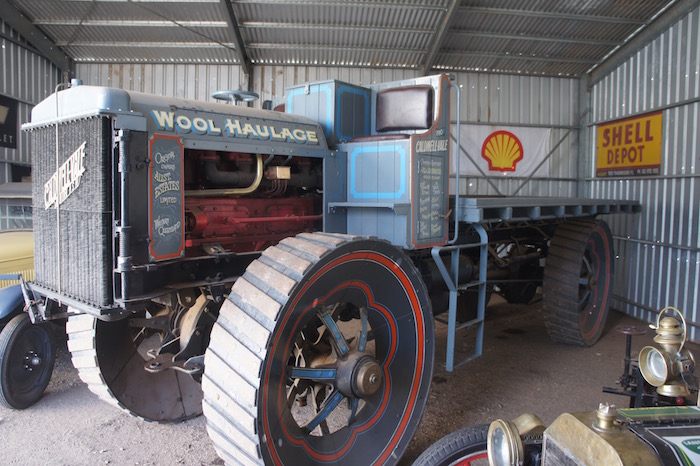
Transport Museum
Scott and Kerry visited the Transport Museum.
-

- Landrover.
-

- Old Ghan Train.
-
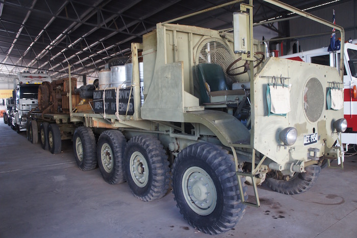
- Eight Wheeler.
-
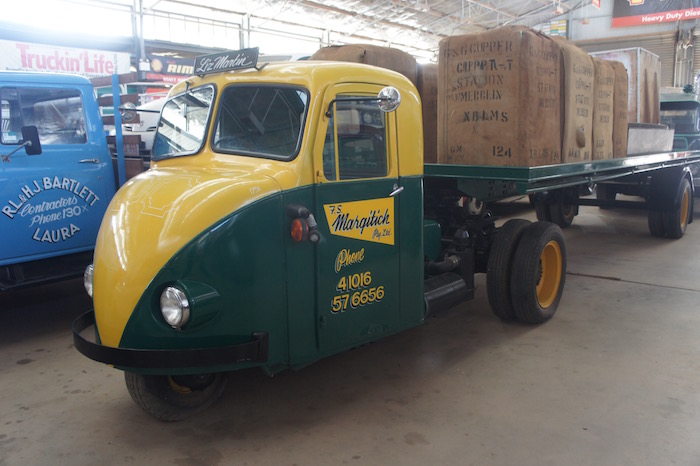
- Three wheel hauler.
-
- Trayback tractor.
-

- Vestey Bros truck.
-

- 4WD.
The caravan park had a ‘no fires’ policy. It was bitterly cold for all three nights of our stay in Alice Springs.
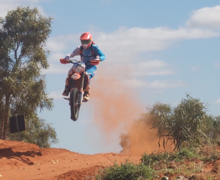
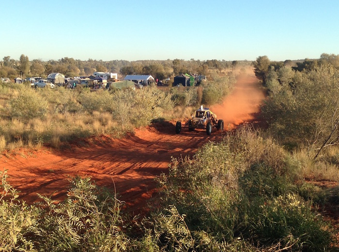
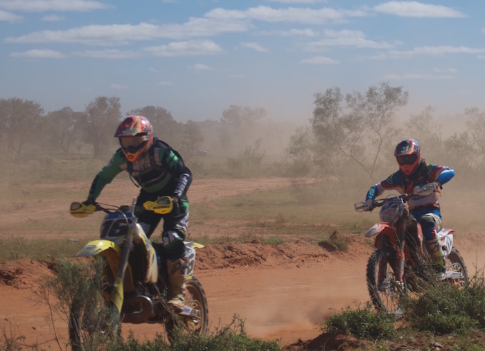
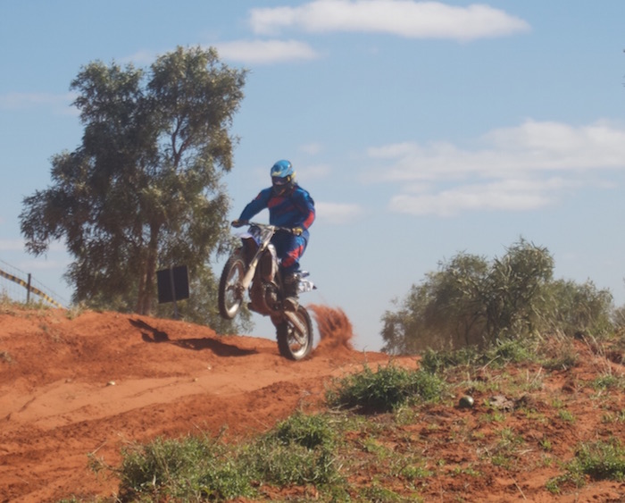
Finke Desert Race
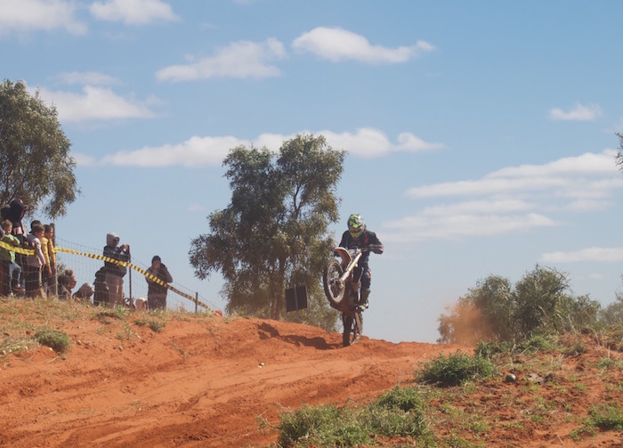
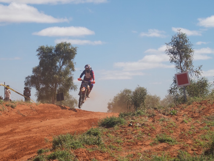
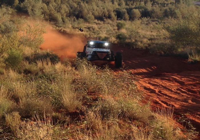
Sunday was the first leg of the Finke Desert Race – from Alice Springs to Finke (Aputula). We drove out along the Maryvale Road and stopped at the hill at the 30 km mark.
-

- Racing to Finke.
-

- Racing to Finke.
-
- Racing to Finke.
-

- Racing to Finke.
-
- Racing to Finke.
-
- Racing to Finke.
-
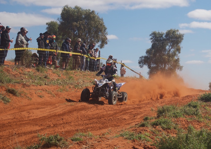
- Quad racing to Finke.
-

- On the way to Finke.
-
- Hill at the 30 km mark.
-
- Hill at the 30 km mark.
-

- On the way to Finke.
-

- On the way to Finke.
-
- On the way to Finke.
-
- On the way to Finke.
Return to Alice Springs – the actual Spring
The field was through by early morning and it was then time for breakfast/lunch and a look around town.
-
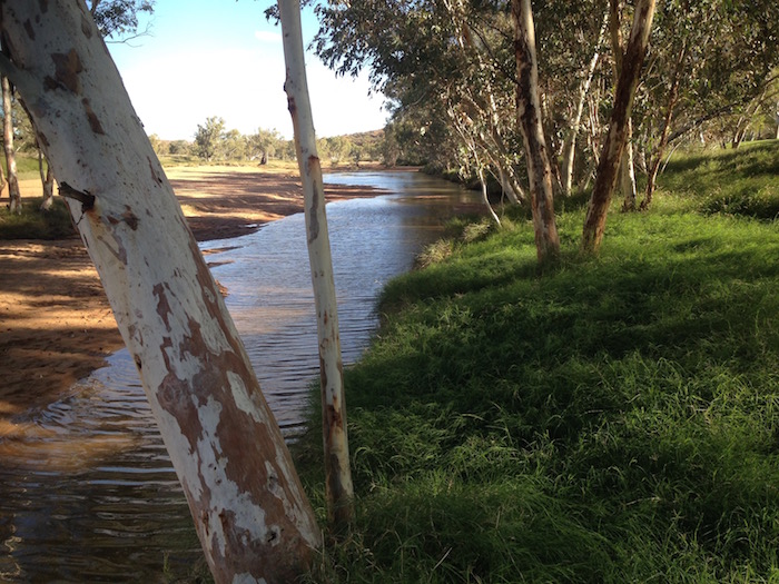
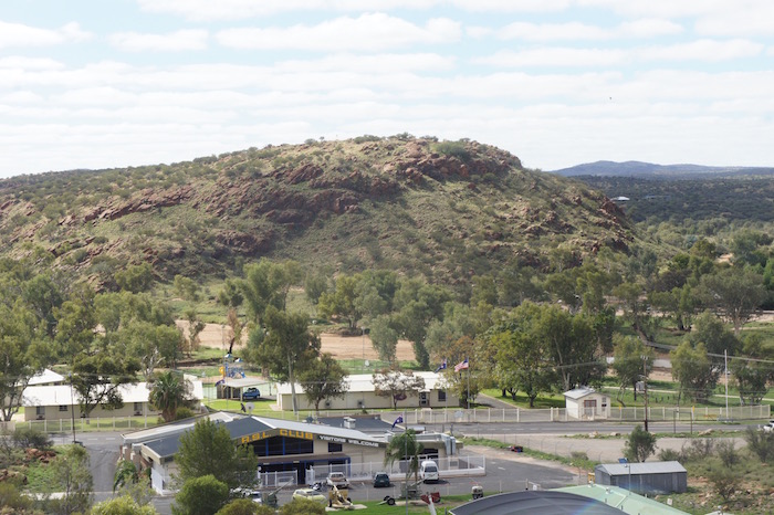
- The spring after which the town was named. It’s actually a soak.
-
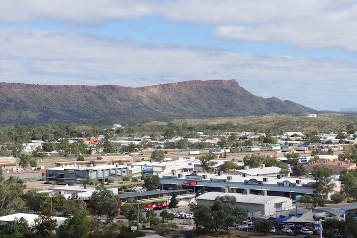
- Alice Springs.
-
- View from Anzac Hill.
To get out the cold we caught a taxi into the Todd Tavern for dinner.
There is an abundance of features named ‘Finke’ in the NT and South Australia as a result of John McDoull Stuart’s explorations. The Finke River was named by Stuart on 3 April 1860 during his fourth attempt to cross the Australian continent from south to north. Stuart named the Finke River “after my sincere friend William Finke, Esq. of Adelaide, South Australia – one of the liberal promoters of the different expeditions I have had the honor to lead.” Other features and events linked to the name are Finke (Aputula), Finke Gorge NP, Finke Desert Race, Mt Finke (SA).
Permits to transit the Mereenie Loop road were $5 at the local tourist office.
Return to Googs Track
Go to Red Centre Way
© Kim Epton 2016-2026
1322 words, 78 photographs, two images.
Feel free to use any part of this document but please do the right thing and give attribution to adventures.net.au. It will enhance the SEO of your website/blog and Adventures.
See Terms of Use.
