-
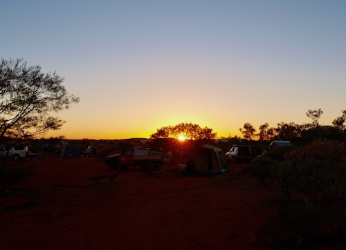
- Morning has broken.
The Mount Augustus Loop is an easy 69 kilometre drive around the world’s largest rock – with numerous points of interest along the way. The extension to Cattle Pool adds a few kilometres to the journey.
Just after we turned left out of the campground we saw a couple of bustards.
-

- Australian bustards seen on the drive around Mount Augustus.
Mount Augustus is an inselberg or monadnock which is an isolated hill or small mountain that rises abruptly from a surrounding plain (literally ‘island mountain’). Geologically, it is an asymmetrical anticline or monocline. The more famous Uluru is, however, a monolith – mono (‘one’ or ‘single’) and lithos (‘stone’). Mount Augustus is often referred to as both a monolith and (or) a monocline.
We turned right off the Landor Road to drive the ‘loop’ around the mount. A few kilometres later we came across a Dawson’s Burrowing Bees’ nest.
-

- A nest of Dawson’s burrowing bees a few kilometres along the Mount Augustus Road.
The Dawson’s burrowing bee (Amegilla dawsoni) is a species of bee that nests by the thousands in arid claypans in the Gascoyne. It is one of the largest Australian bees. Each female bee digs her own solitary nest but as they aggregate in large communities it gives the appearance of colonies. The larger males – called majors – aggressively patrol the areas where females emerge from their burrows and will compete in physical fights to mate with virgin or recently mated females. Smaller males – called minors (80% of the male population) – wait at the fringes of the emergence area and mate with females who are able to fly away unmated from the immediate vicinity of their nests.
-
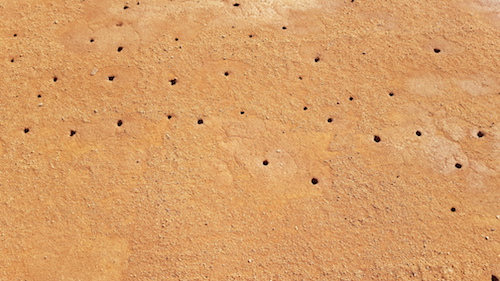
- Dawson burrowing bees holes.
-
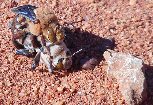
- Dawson burrowing bees mating.
Next stop was the Ooramboo, then Mundee, a site of signifigance to the local Wajarri people.
-

- Mundee
-
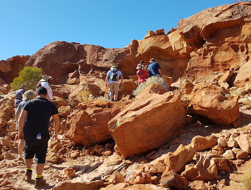
- Walking up to the petroglyphs at Mundee.
-
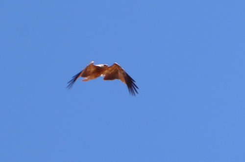
- Young buzzard.
-
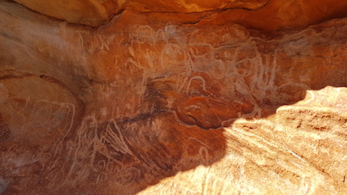
- Mundee petroglyphs.
-
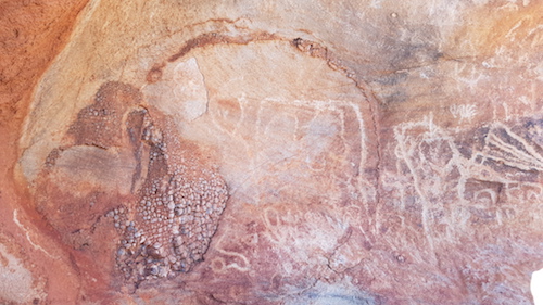
- Petroglyphs at Mundee.
Before we turned back onto the Loop Drive we stopped to collect wood for our campfire tonight.
Mount Augustus was named by explorer F.T. Gregory in 1858:
“One hill of considerable elevation … lay directly up the valley of the river, and was ultimately named Mount Augustus, after my brother, now conducting the expedition in quest of the remains of Dr. Leichhardt”.
-
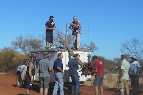
- Large, solid pieces of wood were difficult to find.
-

- Eugene and Greg secured the load.
Further along the ‘loop’ road is Flintstone Rock, also known as Beedoboodu. The petroglyphs at this site are hidden under a large slab of rock.
-
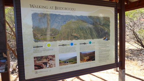
- Beedoboodu information sign.
-

- Scott and Steve at Flintstone Rock.
-
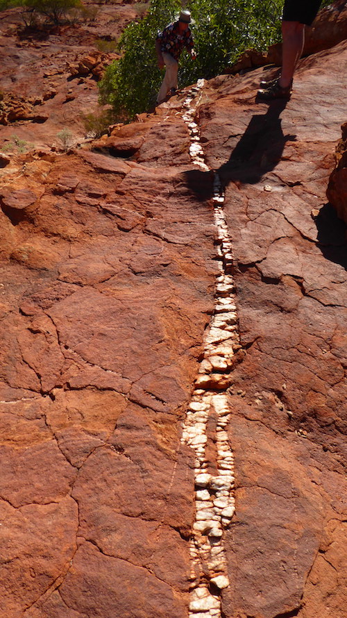
- Quartz interstice at Flintstone Rock.
-
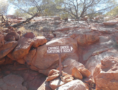
- Sign showing the way.
-
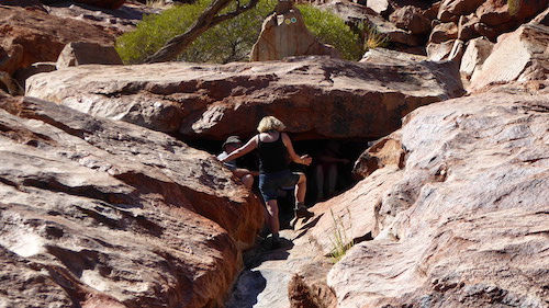
- The petroglyphs are under here.
-
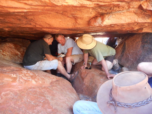
- Joe, Steve and Scott under the rock.
-
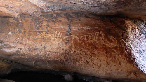
- A petroglyph.
-

- A petroglyph.
-
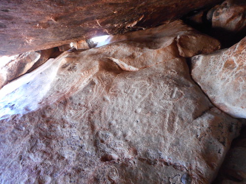
- A petroglyph.
-
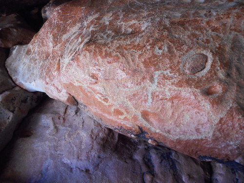
- A petroglyph.
-
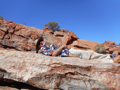
- Greg relaxing above the petroglyphs.
The next stop was The Pound and then Goordgeela.
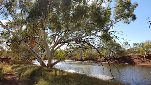
The Loop can incorporate a visit Cattle Pool, a permanent stretch of water on the Lyons River, just downriver from its confluence with the Lyons River North.
A walk track winds its way along the river bank amid beautiful river red gums.
-

- Walk track on river’s edge.
-
- Cattle Pool.
-

- River Red Gum.
-
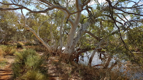
- River Red Gum.
-

- River Red Gum.
-
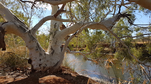
- River Red Gum.
-

- River Red Gum.
-

- Cattle Pool.
-

- Cattle Pool.
-

- Cattle Pool.
-

- Little Corellas.
-
- At Cattle Pool.
More Great Drives of Western Australia
Go to Tracks and Back Roads
© Kim Epton 2017-2026
592 words.
Feel free to use any part of this document but please do the right thing and give attribution to adventures.net.au. It will enhance the SEO of your website/blog and Adventures.
See Terms of Use.
