Along the Mekong River from Nong Khai to Chiang Khan and Khao Kho
In April 2019 we travelled north through Udon Thani to the river town of Nong Khai – location of the Friendship Bridge thats links Thailand with Laos across the Mekong River.
From there we headed west along the river on Route 211 – a fantastic drive dotted with villages, lined with banana and other trees, and the constant view of one of the world’s great rivers.
Skywalk
The Skywalk is a great tourist attraction. It was opened in April 2016 at a cost of ฿17M. It offers spectacular views of the Mekong River, Laos and the farmland of the Sangkhom region. It is not being very well promoted and certainly not well signposted.
While it doesn’t quite rate against the world’s most recognisable cantilever structure, the Grand Canyon Skywalk, it is still a fantastic and spectacular attraction.
- The Mekong River from the Skywalk at Wat Pha Tak Suea.
Wat Tham Sri Mong Kol and Din Phiang Cave
Not far up the road from the Skywalk is the Tham Sri Mong Kol temple and Din Phiang cave.
The passages in the cave are fairly tight and low so we didn’t enter.
The signage along the path leading to the Wat (temple) seems to change. What doesn’t change is the inability to translate accurately.
Leaving the Wat we returned to the Mekong River and continued to Chiang Khan.
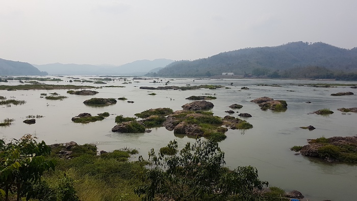
- Mekong River at Sangkhom.
- The most northerly point of our road trip.
- The most northerly point of our road trip.
- The Mekong River at Nong Pla Buek.
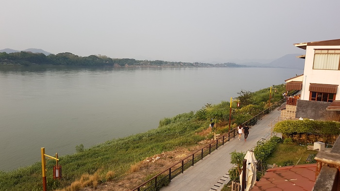
- The Mekong River at Chiang Khan.
- The Mekong River from Kood Koo in Chiang Khan.
The carpark at the Wat and Cave is surrounded by bamboo.
- Art or vandalism?
Chiang Khan
Chiang Khan is a popular destination for Thai tourists more so than Farangs. The focus is the traditional wooden, home style accommodation along the river. Chai Khong Road, parallel wth the river, is a walking street on Saturday night.
The symbol of Chiang Khan is the bicycle. Coupled with wooden houses and a very strong tradition of making offerings to monks on Sunday morning it gives Chiang Khan an ‘olde worlde’ atmosphere.
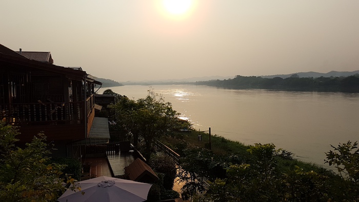
- Sunset over the Mekong River at Chiang Khan.
Phu Ruea National Park
At 1365 metres above sea level the peak of Phu Ruea is claimed to be the coldest location in Thailand. It is 40 kilometres west of Loei and 50 kilometres south-west of Chiang Khan.
It is a great drive up to the carpark near the summit – a narrow, twisting, turning road only just wide enough for two vehicles.
- The coldest area in Siam is still pretty warm.
- At Phu Ruea National Park.
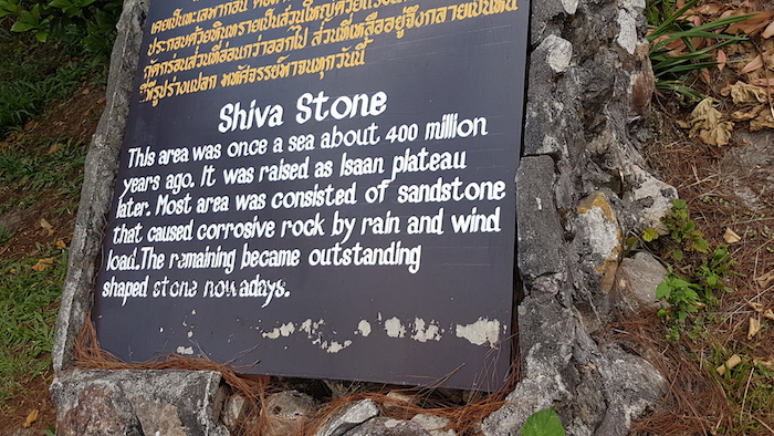
- The Shiva Stone.
- The peak of Phu Ruea is 1385 metres.
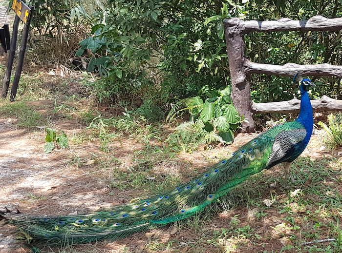
- Resident peacock.
South to Khao Kho
Route 21 is a great drive. From Khok Ngam to Na Sam the road winds it way through the mountains, weaving left and right on high speed sweeps, some tight, some not, all a thrill to drive.
Khao Kho
- Windfarm at Thung Samo near Khao Kho.
- Wind generator.
- Switchback on the return from the windfarm, typical of many on that road.
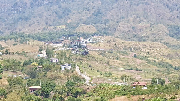
- View from our overnight stay in Khao Kho.
Wat Phrathat Sonkaew
The loose translation for the name of this wat is ‘temple on a glass cliff’. It is situated on an 830 metre peak, a few hundred metres from the town of Khaem Son, on the main highway 12, in Khao Kho.
The main pagoda and surroundings buildings are reputed to be adorned with five million colourful mosaic tiles.
It has gained a reputation as a famous, ‘must visit’ temple for Thai Buddhists.
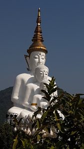
- Wat Prathat Sonkaew
- Wat Prathat Sonkaew.
- At Wat Prathat Sonkaew.
- Wat Prathat Sonkaew
- View across the valley at Wat Prathat Sonkaew.
- View across the valley at Wat Prathat Sonkaew.
Pho Khun Pha Meung Bridge
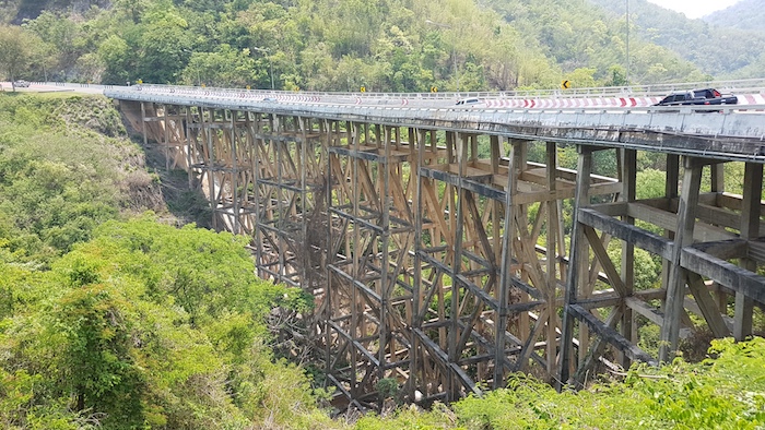
Highway 12 from Petchabun to Khon Kaen winds through the mountains in Nao Nan National Park. Another great drive. The Pho Khun Pha Meung bridge is the tallest in Thailand. Typically, in the adjacent carpark, there is a range of food vendors.
- Pho Khun Pha Meung bridge in Nam Nan National Park.
Back to the chaos of Khon Kaen.
Mekong River, Chiang Khan and Khao Kho April 2019 Road Trip
Distance
935 kilometres.
Duration
Four days.
Provinces
Khon Kaen, Udon Thani, Nong Khai, Loei, Petchabun, Chaiyapum.
Download GPX File
11036-Mekong River, Chiang Khan and Khao Kho April 2019
© Kim Epton 2019-2024
768 words, 34 photographs.
Feel free to use any part of this document but please do the right thing and give attribution to adventures.net.au. It will enhance the SEO of your website/blog and Adventures.
See Terms of Use.


