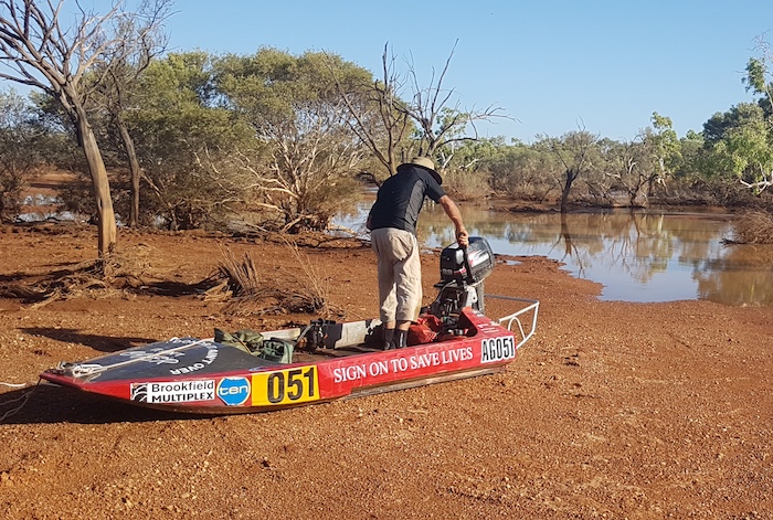
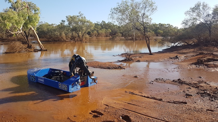
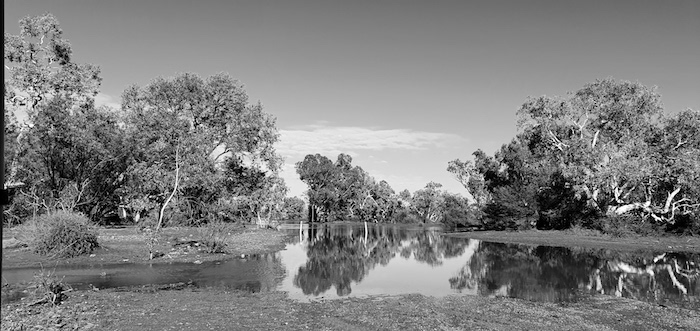
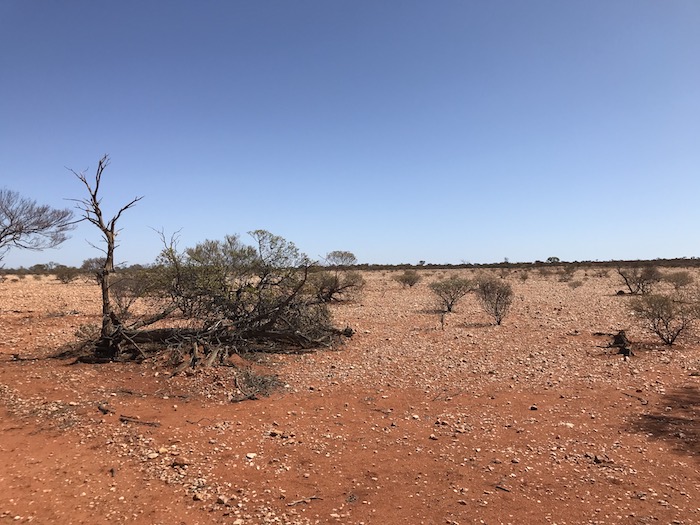
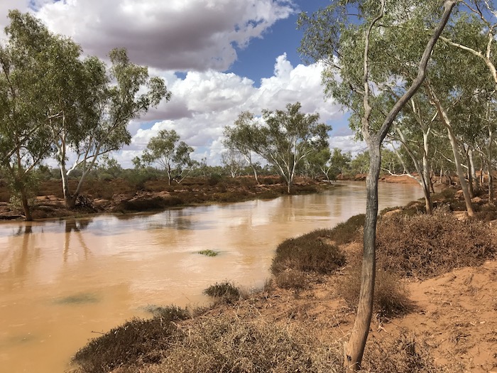
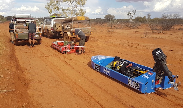
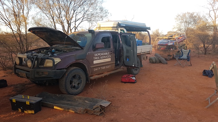
Tropical Cyclone Damien dumped as much as 250 mm of rain in the headwaters of the Murchison River in early February and at Mt Padbury, 700 kilometres upstream from the mouth at Kalbarri, it was as big as the record flood of 2006 caused by TC Emma. However, the rain from Damien extended only as far west as Berringarra so the amount of water in the river downstream would not be as much as in 2006 – although the bonus from this was that the roads west and south of Milly Milly would be dry and accessible. Good news when ‘chasing’ boats.
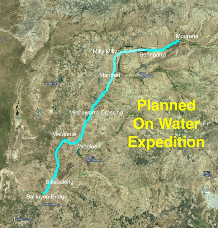
The plan was to leave Cockburn on Thursday afternoon, travel to Pithara, camp the night and start the ‘expedition’ the next day. We would travel north to Cue and arrive at Berringarra Station where we would ascertain the best place to launch the boats. The Support Crew would follow the boats to, initially, Minnawarra Crossing – the end of Day One and an on-water distance about 100 kilometres, depending on the start point. The next day we planned for the on-water expedition to reach Ballinyoo Bridge – a distance about 82 kilometres.
- Planned on water expedition.
As per usual on these types of trips the reality was somewhat different from the planning.
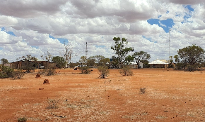
Beringarra Station
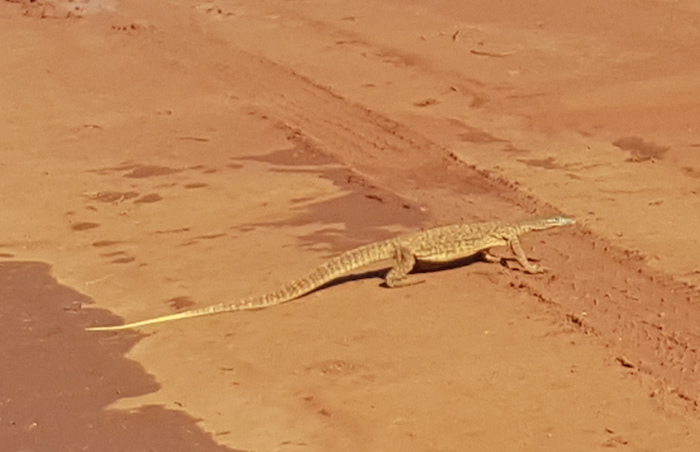
- Bungarra at Beringarra.
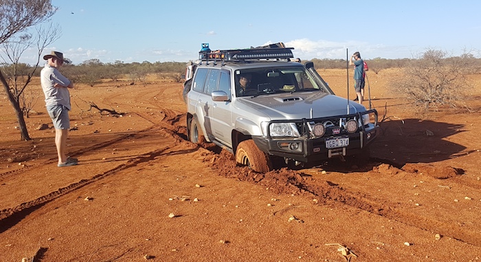
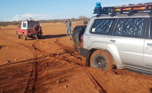
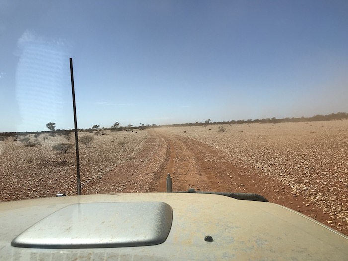
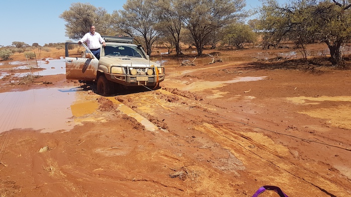
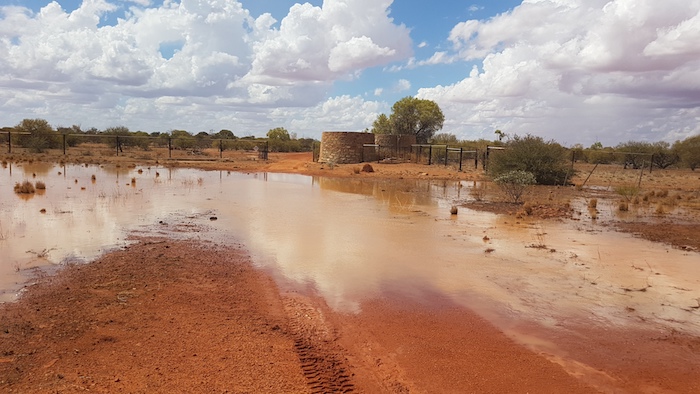
We arrived at Beringarra about 1530 Friday 21 February. The Station Manager, Kerry Warren, advised us to travel upriver to Kalamunda Pool, a further 20 kilometres to the east, and camp there. After passing through the cattle yards east of the homestead the track was difficult to follow, however, we were able to continue along a fence line heading generally in the required direction. We turned off the track twice in an attempt to find a way down to the water and on each foray we got bogged. The entire country had been underwater only four days previously.
- Navara and trailer bogged while seeking a path to the river.
- Navara and trailer bogged.
- Retrieved backwards.
It was getting late and our options were limited so we decided to camp where we were – about five kilometres upriver from the station homestead. As matters transpired the next day it was fortunate that we did not start at our campsite – or further up – as the Murchison River here is very much a ‘braided stream’ with a multitude of channels from which to choose, one indistinguishable from the next, that presented a serious challenge to navigation.
- The Patrol has lost forward momentum.
- The Sierra had a few attempts at retrieving the Patrol and, while it would have eventually got it out, a heavier vehicle was needed.
- The Patrol was retrieved from the bog hole.
The flies, mosquitoes and other bugs at our chosen campsite were terrible. Combined with the humidity, it was an uncomfortable night.
- First night’s campsite after repeated attempts to find a way to the river.
Very early the next morning we headed back to the Mt Gould Road Crossing where we were confident we could launch the boats.
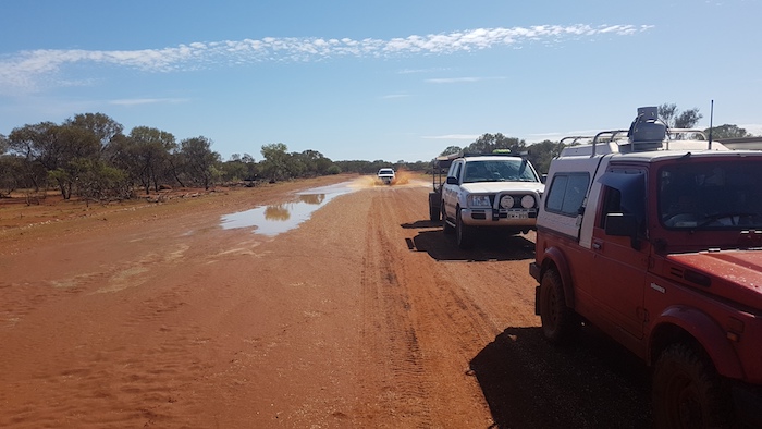
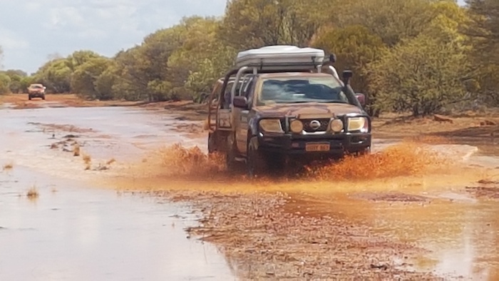
- Approaching the river.
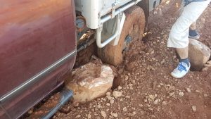
- A large rock in front of the left rear wheel stopped the Navara getting through the slop.
- The offending rock that stopped the Navara from initially getting through the slop.
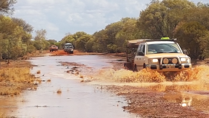
- The river flowing across the road for a week caused more damage than the passage of four vehicles, despite appearances.
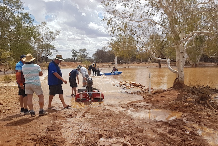
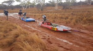
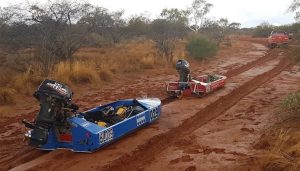
Getting to the river was a challenge. The floodwaters had destroyed the road in one 50 metre section. The nearest we could get to the water was only about 200 metres. The boats were prepared and the crews dragged/walked to the main stream flow.
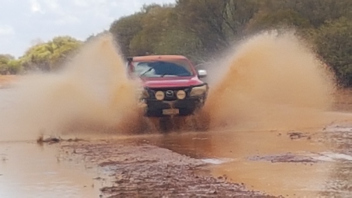
- Allan made easy work of getting through in the Landcruiser.
- After the Navara got through the boghole Greg shifted a large rock that was causing difficulties.
- Air was bubbling out of the road at a number of locations.
- Preparing to start.
- Greg, Cliff and Matt preparing the boat for the start.
- Ready to start.
The Murchison River Expedition 2020 was off and running, 576 kilometres upstream from the mouth at Kalbarri and 46 kilometres further upriver than our previous record start.
The boats may have got off to a good start, however, the drama was not over for the Support Crew. Kim bogged the Sierra while trying to get through the slop near the 50 metre section of road destroyed by the floodwaters.
- Aaron retrieves the Sierra on the Mt Gould Road.
Milly Milly Crossing
The Support Crew moved to the first rendezvous at Milly Milly Crossing – on a side channel of the main river.
- Milly Milly Station
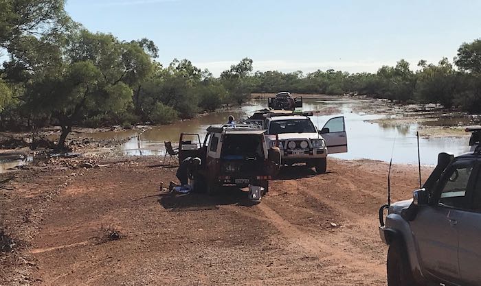
The entire Support Crew got out their camp chairs and sat on the crossing in the water, cooling off, waiting for the arrival of the boats and crew.
- Support Crew sitting under the shade of a tree in the river at the Milly Milly Crossing.
- A couple of cows , too timid to walk past the Support Crew seated on the crossing, swam the river.
- The two cows that swam the river met up with the cow that calmly walked along the crossing, past the Support Crew.
- Mushy at Milly Milly Crossing.
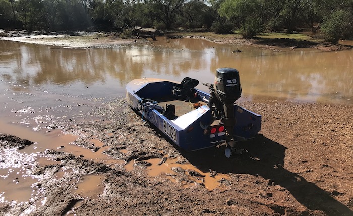
The boat journey was short lived. The crew were having a very difficult time finding the river proper. The myriad channels in this highly braided section of river all got too shallow, too soon. It quickly became untenable.
A sat phone message revealed that the Boat Crew was returning to the start point on the Mt Gould Road. They had navigated only three kilometres before the lack of water and confusing channels necessitated a return.
- Aaron Howell
- Allan Heath
- Cliff Hills
- Greg Barndon
The Support Crew returned to the Mt Gould Road Crossing and retrieved the boats and crew.
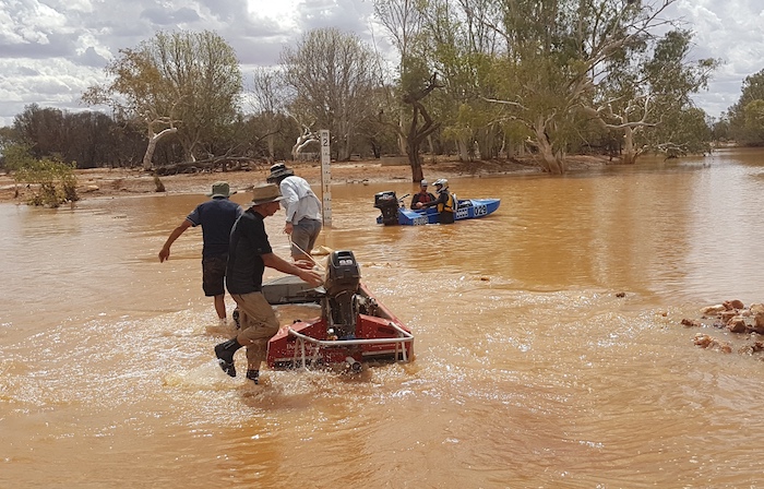
The Expedition moved to Milly Milly Crossing where the boats were re-launched upstream with the intention of getting through to the main river.
- Putting in at Milly Milly Crossing.
- The upriver re-start.
- Allan leaves the boats.
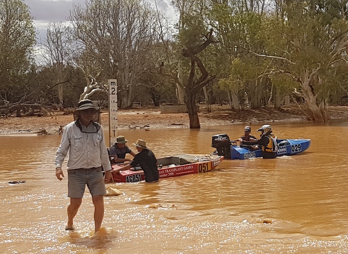
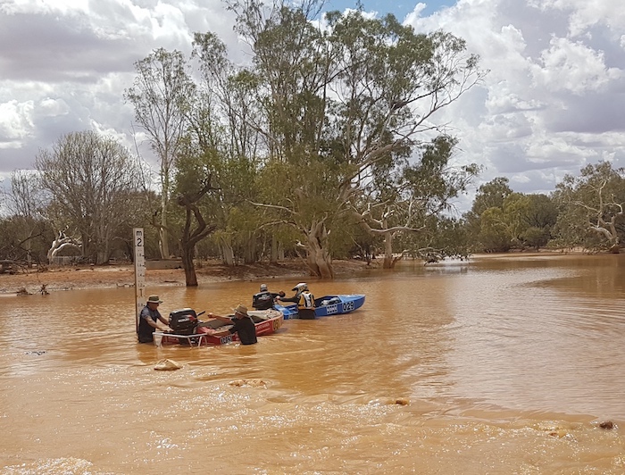
- Plenty of water at the crossing.
- Re-start.
Meanwhile the Support Crew drove to the Byro-Beringarra Road Crossing (the main channel of the Murchison) to confirm they could access the river. The issue was that while the boats could set off downriver from the Milly Milly Crossing channel there was no assurance the they could join the main river. It was way more preferable that they be launched into the main river (at some point upriver from the Milly Milly Crossing but downriver from the Mt Gould Road Crossing) and it was imperative that the Support Crew vehicles could get to the Byro-Beringarra Crossing to refuel them.
- Mushy takes his Navara across Milly Milly Crossing.
Aaron headed out from Milly Milly Crossing to confirm that he could navigate the seven kilometres to the main river. A short time later a radio message came through that he was bogged and was self-recovering.
- Aaron slid off the road at a mudhole and then got bogged. His attempt at self recovery was less than successful.
The remainder of the Support Crew moved up to his location to help with the recovery. After varying opinions on the best way to extricate the vehicle it was decided to tow it out backwards.
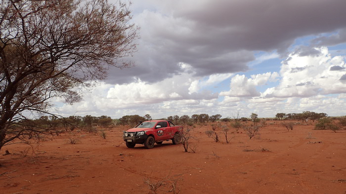
- Sierra parked at the scene of Aaron’s bogging.
The team carried on to the main river, confirmed access, and then returned to Milly Milly Crossing to await the arrival of the Boat Crews. The Boat Crews had radioed through that they couldn’t find a way through to the main river (going upstream) and would have to return to Milly Milly Crossing.
Cadjacootharra
The boats were retrieved from the water at Milly Milly Crossing, loaded on the trailers and taken upriver to Cadjacootharra, a possible checkpoint identified in the planning stage of the Expedition. Earlier in the day Mushy had driven into the point and found it to be suitable for launching the boats. The new launching point for tomorrow was decided! And because it was so late in the day, the location of the campsite for the night self-selected.
- Arriving at Cadjacootharra.
- Michael (Mushy) Orr
- Steve Heath
- Steve Cook
- Nat Altinier
Storm Cell
The boats were offloaded at the river’s edge and tied to trees. The campsite was about two hundred metres to the south, just off the Byro-Beringarra Road.
- Cadjacootharra Start Point
Lightning and thunder had been all around for 20 minutes while we were choosing a site for our overnight camp. A storm cell hit before we had a chance to set up camp.
- Approaching storm.
- Steve’s ute at Cadjacootharra.
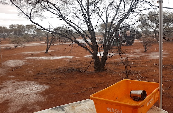
- Start of the rain event.
- At the start of the storm.
- The beginning of the rain from the storm cell.
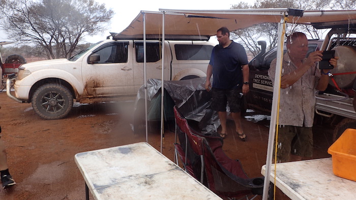
The ferocity of the storm was amazing. The temperature plummeted. Water was pouring off awnings. Anything not undercover was drenched. The flies persisted.
- Near the peak of the storm.
- Matt and Greg.
- Mushy and Kim.
- Aaron’s camp was flooded within minutes.
- Aaron’s flooded camp.
- Allan’s flooded camp.
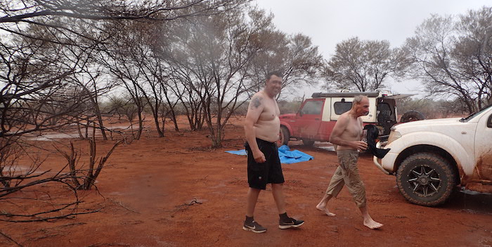
Some of the crew took the opportunity to have a wash or even a full on shower.
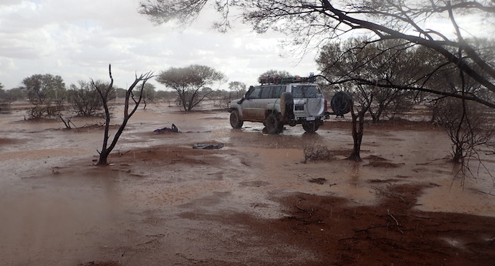
- Aftermath of the storm.
Cadjacootharra Start
Next morning there was little evidence of the previous night’s downpour.
- Little evidence of the previous night 25mm downpour.
The ever-present, annoying, clinging bush flies ensured an early start.
- Allan, Greg and Cliff getting the boat ready to start.
- Greg preparing boat.
- Cadjacootharra start.
- Nat and Steve dragging their boat to the water at Cadjacoothara.
- Steve and Nat dragging their boat into the water.
- On water start for Steve and Nat.
This represented a new, record, upriver start point. After six expeditions between 1994 and 2006 I stated:
“Given the conundrum of high water levels and closed roads, the Byro-Beringarra Road Crossing will remain as the furthest point inland from where the river has been navigated. And it is my view that it would take a remarkable set of circumstances and an extremely well prepared group to change that fact. The full, feasibly-navigable length of the Murchison River has been ‘boated“
That remarkable set of circumstances presented itself on this trip and, while the additional distance was only modest, the accomplishment of putting power dinghies on a wild river 556 kilometres into the outback in extreme conditions (40+degrees, 98% humidity) is significant. Twenty six years after the first bold attempt, and six subsequent forays, the challenge is there for anyone else to surpass this achievement. I’m confident that any other boating trips on the Murchison will be restricted to ten kilometres upriver from Kalbarri!
So very happy to have proved myself wrong!
- Kim Epton
- Matt Hall
Byro-Beringarra Road Crossing
The Support Crew moved down to Byro-Beringarra Crossing to refuel the boats racing downriver from Cadjacootharra.
- Mushy set up camp on the edge of the river.
The boats were refuelled and a new coordinate was entered into the GPS. The crews were given strict instructions not to go past Manfred, 42 kilometres downstream. The inability of the Support Crew to get through to the boats, for any number of reasons, was a potentially serious issue.
- Allan at Byro-Beringarra Road Crossing.
- Cliff and Greg come in to refuel
- at Byro-Beringarra Road Crossing.
- Byro-Beringarra Road Crossing
- Steve and Nat at the refuel checkpoint.
The Support Crew followed station tracks south that would lead them to Manfred. A well constructed fence blocked the way, forcing an unwanted deviation to the east to Pindar Road. It was later posited that this high quality fence was erected by the CSIRO, the new owners of Manfred Station, location of the Murchison Radio-astronomy Observatory (MRO) and the future Square Kilometre Array.
- Heading south towards Manfred.
- Heading south towards Manfred.
Towards Manfred
Rains from the storm cell last night had extended many kilometres to the south and the runoff from the high ground to the north-east made travel along the fence line treacherous.
- Travelling along the fence line towards the Pindar Road.
On very few occasions on 25 power dinghy expeditions since 1981 has the Boat Crew had to wait for the Support Crew (Darling Descent ’82 at Budda Station, Murchison River 2004 at Minnawarra Crossing). The very nature of the planning meant that the Support Crew would arrive at the rendezvous before the Boat Crew and wait. The treacherous conditions along the fence line added another reversal of the norm to the tally.
The track along the fence line looked innocuous enough but there where numerous spots soft enough to trap the unwary.
- An innocuous looking part of the track grabbed the Navara and the drag of the trailer was too much.
- Matt was unable to open the door.
- Aaron unhitched the trailer.
- Navara and Patrol bogged along fence line.
- Aaron used Matt’s Navara as an anchor from which to winch out his Patrol.
- Matt pulls in Aaron’s winch rope.
- Aaron winched his Patrol out of the boghole.
Eventually I decided to travel cross country 100 metres or so to the north of the fence line track. It took some convincing to get some of the crew off the track and into the (open) bush. The alternative would have been all vehicles bogged and even further delays.
A six kilometre deviation brought the Support Crew to the end of the fence line. A quick dash through a recently-flooded creek got all vehicles onto the Beringarra-Pindar Road. It was then a 65 kilometre drive to the Manfred Road turnoff and a 35 kilometre drive into the river at Manfred – if the rain from last night’s storms hadn’t washed out the track.
After ten or so kilometres I decided that it wasn’t wise to send all vehicles in to Manfred without knowing for certain that the track was open. We stopped, set up an awning and waited for information from the Boat Crew. Mushy headed off to find a way through to the river at Manfred. Fuel for vehicles was becoming an issue and I wanted to avoid unnecessary travel. A sat phone message came through from the Boat Crew advising that they had reached the rendezvous point at Manfred. Some time later another message confirmed that Mushy had got through. The remainder of the Support Crew were then able to confidently head to Manfred.
- Allan takes the Landcruiser through the creek
- Matt in his Navara tows the trailer through the creek.
- Steve’s crossing was more spectacular.
Manfred Pull Out
On arrival at the station it was revealed that the boats were still two kilometres away.
- Tank at the entrance to Manfred Station.
- Manfred Station
However, Steve was able to navigate the boats through some minor channels to get to where the Support Crew was waiting on the flooded track.
- Aaron and Mushy found their way to the main channel a few kilometres south of where the boat crews had stopped and, for a while, it was contemplated to navigate to this point to get off the river.
- The main river a few kilometres down from Manfred.
- Murchison River at Manfred.
- The country close to the river was treacherous. Even the lightweight Sierra got bogged.
- The easy way to get the boats to the trailers.
- Steve towed the boats from the river.
- Ready to be loaded on the trailers.
It was very hot and very humid. Eventually the boats were loaded and equipment secured, ready to head off.
- The river is shown in blue and the Support Crew route in black.
Heading South
The remaining range of the vehicles was a concern. The nearest fuel was at Mullewa, 186 kilometres distant. Steve was carrying jerry cans of diesel and was able to share it around before we headed south towards camp.
Camp was a clearing off to the side of the road. The flies were as bad as ever.
- Matt and Kim’s camp.
- Aaron and Greg’s camp.
In the morning while re-inflating tyres back to road pressures Steve noticed he had a slow leak, caused by a staked sidewall. As soon as the wheel was changed the long journey home began.
- Gear out to start the wheel change.
- Steve and Nat changing the wheel.
- ROUTE OF THE MURCHISON RIVER EXPEDITION 2020
© Kim Epton 2020-2024
2681 words, 93 photographs, 5 images.
Text and layout Kim Epton
Photographs Michael Orr, Kim Epton, Steve Cook
Feel free to use any part of this document but please do the right thing and give attribution to adventures.net.au. It will enhance the SEO of your website/blog and Adventures.
See Terms of Use.

