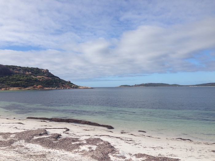
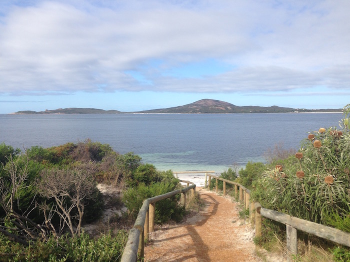
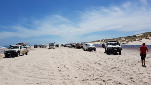
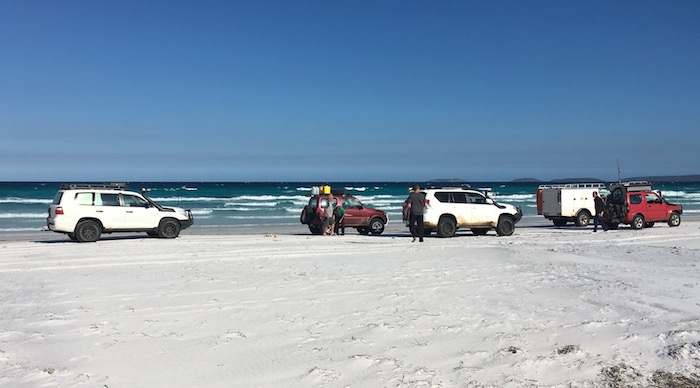
World’s Best Beaches
Western Australia has some of the best beaches in the world.
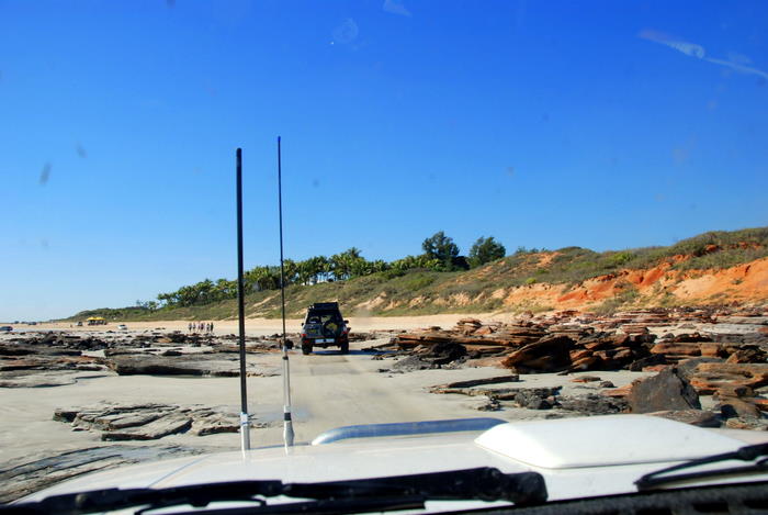
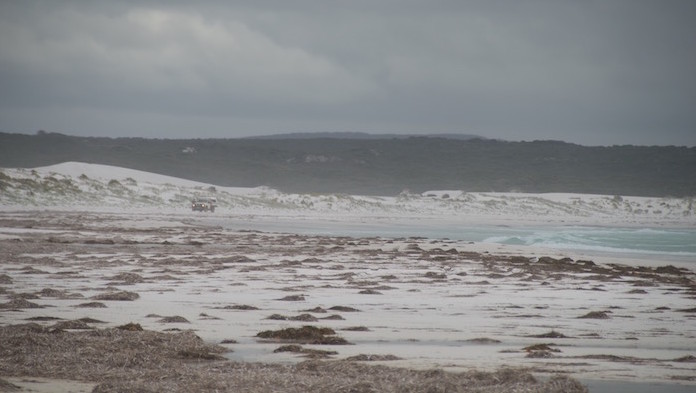
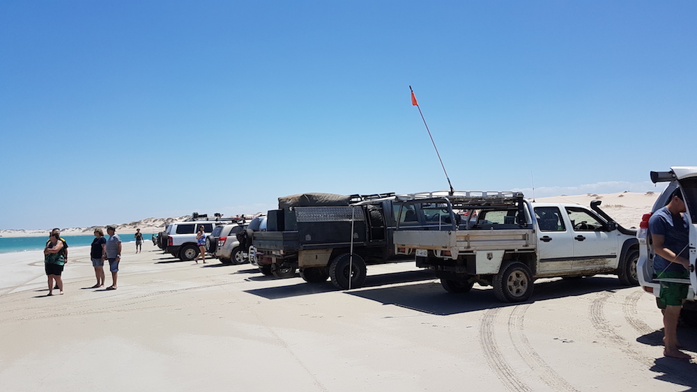
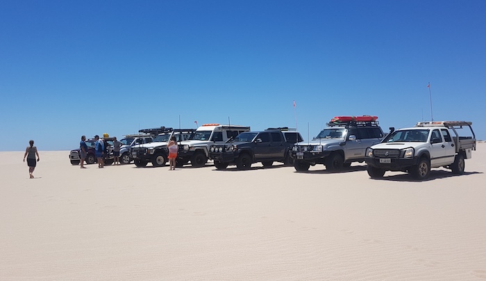
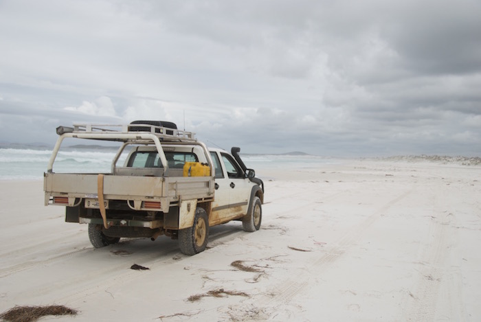
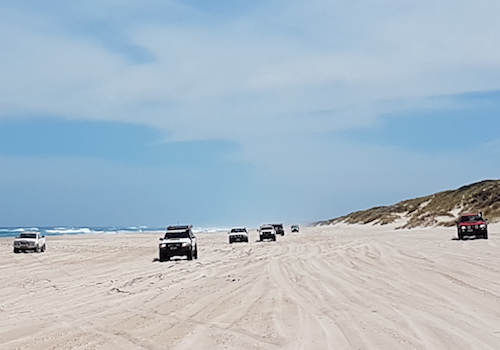
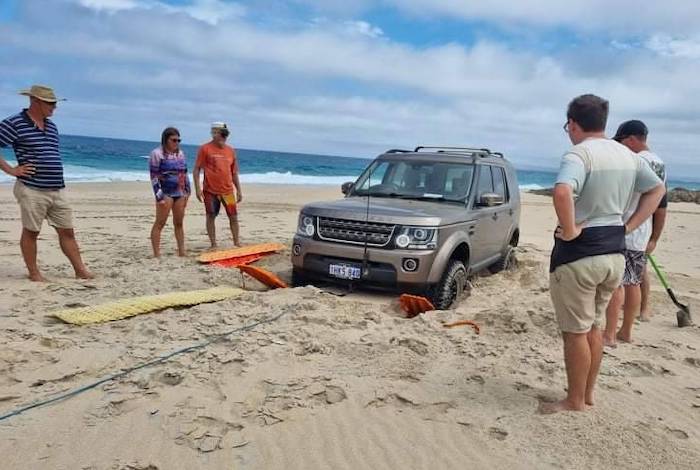
Moreover, and just as importantly from my perspective, one can take a 4WD vehicle onto many of these beaches. And some of them are truly remote and virtually people free. And at least one of these beaches doesn’t exist anymore!
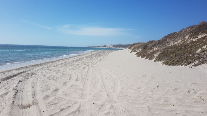
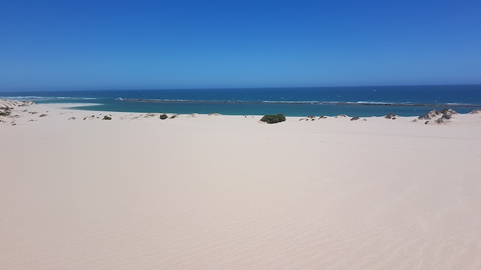
Although our adventures don’t concentrate on the coast, we do go there often enough to appreciate how lucky we are in the West to have vehicle access to magnificent beaches where we can enjoy driving on vast stretches of golden sands or, depending on where we are, bright white sands.
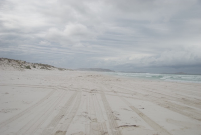
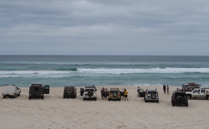
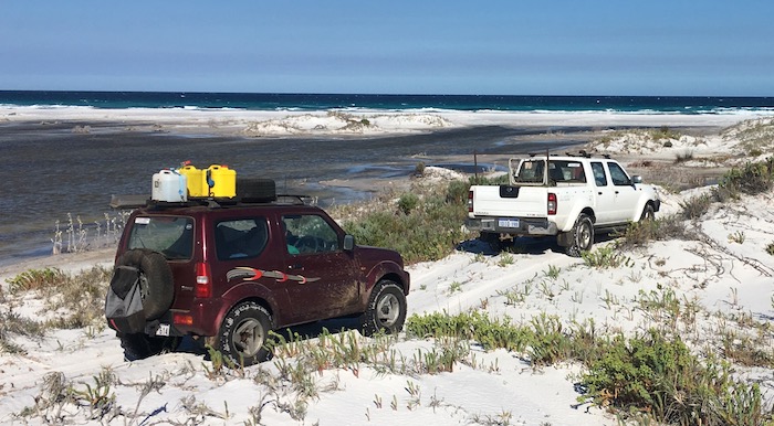
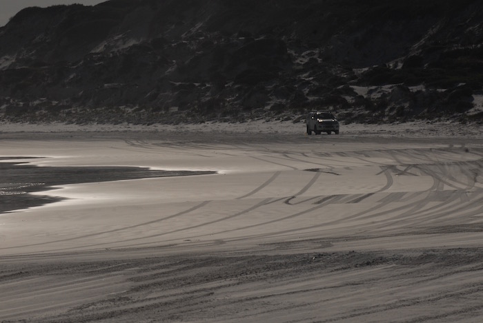
Some of these beaches are firm enough for long stretches of high speed travel and would present no challenge to a 2WD vehicle with tyres at road pressures (think Parry Beach, Cape Le Grand Beach). Others can be treacherous with dips, soft sand, quicksand, seaweed, gutters, rocks and host of other dangers for the unwary.
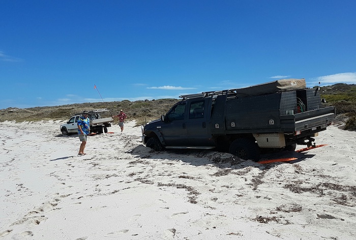
Access to many of the beaches can be a challenge while a few are just a simple drive onto the sand. Getting off Yeagarup Beach and Warren Beach up Yeagarup Hill and Callcup Hill respectively presents quite a challenge unless precisely the right tyre pressure is selected. The difficulty of the task increases as the temperature of the sand increases during the day, and the track gets chopped up by dozens of vehicles making the attempt.
In contrast, one doesn’t even need to engage 4WD to drive on or off Cape Le Grand Beach. Just follow the family station wagon.
Below is a selection of beaches we have been fortunate enough to access during our adventures. While some are very well known others are virtually unvisited.
Every time I drive on these splendid stretches of our coast I reflect on our good fortune to live in a country blessed with such magnificent beaches within reasonable distance from home. I am thankful that I have the technology that allows such ease of access and hope that they will continue to remain ‘open’.
Tips to make your drive on the beach safer and more enjoyable.
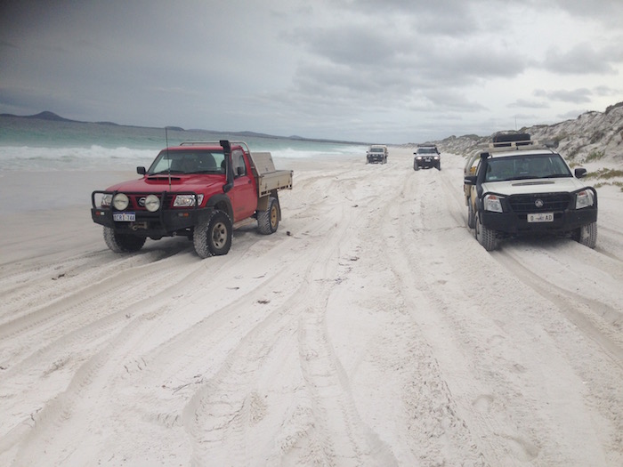
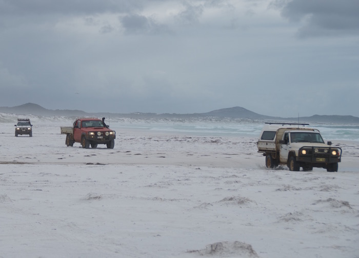
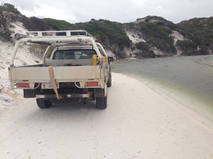
Alexander Bay
The beaches at Alexander Bay (WA Beaches 95-97) extend 9.5 kilometres from Ben Island in the west around to Alexander Point to the east.
-

- Alexander Point Bay #
-

- Graham is last onto the beach
-

- Alexander Bay from Alexander Road
-
- Alexander Bay
-

- Rocks in the Bay
-
- Graham starts his climb off the beach.
Explorer/surveyor John Forest named these features after his brother during their epic transcontinental exploration in 1871.
This access point is off Alexander Road. We visited it during our first Cape to Cape trip.
-
- Track back to beach after going around Alexander Point.
Bilbunya Beach
-
- Patrol on Bilbunya Beach, 250 km north-east of Esperance in the Nuytsland Nature Reserve.
Bilbunya Beach (WA Beach 23) extends from the dunes at the base of the Wylie Scarp 45 kilometres to Wattle Camp. Depending on the tide the beach can be a narrow track negotiable only high up to the dunes or it can be a 100m wide, hard flat surface suitable for a land speed record attempt (much like Daytona Beach in the 1930s where speeds of 500 kph were exceeded).
-

- Bilbunya Dunes
-

- Bilbunya Dunes
-
- On Bilbunya Beach.
-
- Bilbunya Beach
-

- Conveyor belting has been placed to prevent erosion.
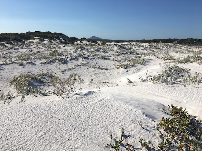
Spectacular Bilbunya Dunes are awe-inspiring ‘live’ sand dunes. Numerous individual dunes exceed 100 metres in height. Contrary to what may be read elsewhere they are not the largest dunes in the Southern Hemisphere.
The name “Bilabalanya” was used by Nullarbor pioneer J. Carlisle in 1949 but over the years it has been corrupted to Bilbunya.
Heavy rains before we arrived at the Bilbunya Dunes presented some challenges on the tracks and through the saltpans leading in to Israelite Bay. It was an exciting, interesting and worthwhile getaway.
Boat Harbour
-

- On the track above Boat Harbour.
-

- Boat Harbour Beach
Boat Harbour (WA Beach 339) is a beautiful beach between Cape Riche and Pallinup River. The southern end of the beach is protected from the Southern Ocean by Black Head. It is possible to drive the full 1100 metres of the beach.
-

- Protected cove at Boat Harbour.
-

- At Boat Harbour.
We have visited this beach a number of times while also exploring other beaches and tracks in the area.
Bremer Bay Beach
-
- Bremer Bay Beach. Beautiful, white, wide open beach on the south coast.
A beautiful, white, wide open beach on the south coast. Bremer Bay Beach (WA Beach 305) extends seven kilometres from John Cove in the west to James Cove in the east and is part of the larger, wider Bremer Bay.
-

- Leaving Bremer Bay.
-
- Bremer Bay beach.
Bremer Bay was named by Surveyor General John Septimus Roe in late 1835. He travelled to the area with Governor James Stirling on the Sally Ann and noted the name of this bay as Manyport Bay but the name is crossed out on his map and Bremer Bay inserted in its place. Roe named the bay, and the coves encompassing it, after James John Gordon Bremer, captain of the Tamar, under whom he served between 1824-1827.
-
- Phil’s Landcruiser at Bremer Bay beach.
Bremer Bay to Gordon Inlet trip.
Broke Inlet
-
- Greg is at Broke Inlet, D’Entrecasteaux National Park on one of our ‘loud shirt’ days.
-

- Broke Inlet
-

- The margin of Broke Inlet.
-
- A.beautiful beach neat the mouth of Broke Inlet.
The foreshores at the south-east end of the Inlet are difficult to access whenever there is water lying around. They are at the end of a track with numerous mudholes and bogholes.
The beach at the mouth of the Inlet (WA Beach 550) is a beautiful, white sand beach.
Broke Inlet was named in 1831 by Governor James Stirling after Captain Philip Vere Broke R.N. who in 1813 was in command of HMS Shannon, a frigate of 38 guns that defeated the American ship the Chesapeake in a battle near Boston.
The Broke Inlet visit was during our annual Australia Day Adventure.
Cable Beach
-
- Driving onto Cable Beach.
-

- On Cable Beach, Broome.
-

- Cable Beach is famous for its camel rides.
Twenty kilometres of beautiful white beach near the town of Broome takes its name from the telegraph cable linking Broome with Java in Indonesia in 1889. To house the transmitting equipment, Cable House was built and was later used as the Court House. The name for the beach was first used in 1962.
A day spent at this beach and a sunset camel ride along the ocean’s edge is a great day out. More about that at Adventure Downunder.
Callcup Beach
-

- Jeep Wrangler coming up off Callcup Beach.
Callcup Beach is part of Warren Beach. It is at the base of fearsome Callcup Hill. Once you’ve conquered Callcup there’s not much you need to know about scaling sand dunes. Callcup is a beautiful white beach, typical of the coast in the D’Entrecasteaus National Park.
-
- Leaving beach for Callcup Hill.
-

- From Callcup Beach to the top of the hill is 9 kilometres.
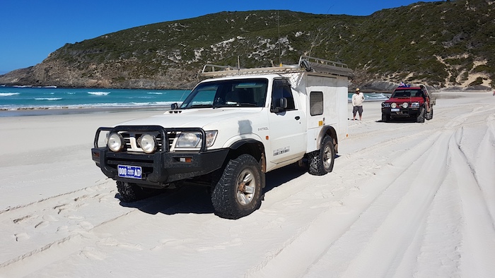
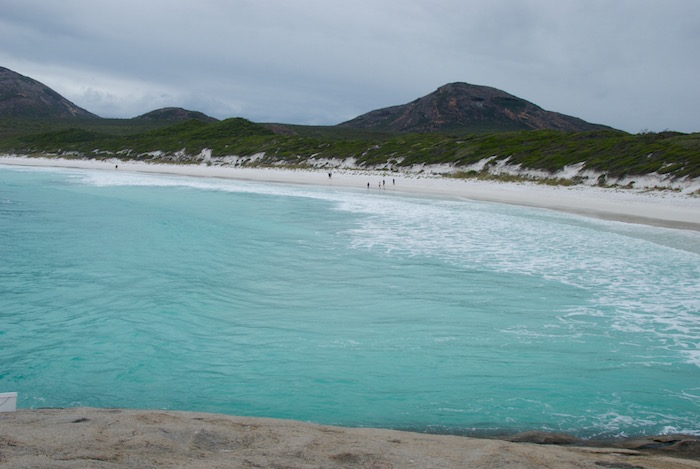
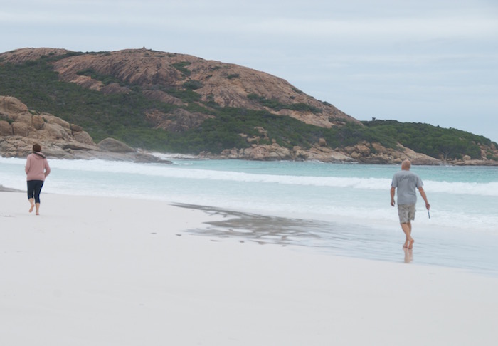
Cape Le Grand Beach
-
- At the south end of the Cape Le Grand Beach.
This 22 kilometre long beach extends north from Cape Le Grand to Wylie Head, not far from Esperance. Its hard surface is flat, wide, easy to access and very popular with locals, tourists, fishers and four wheel drivers.
-

- At the Wylie Head end of Cape Le Grand Beach.
Cape Le Grand was named in December 1792 by Joseph-Antoine Raymond Bruny, after an ensign named Le Grand aboard the frigate Esperance who sighted Esperance Bay, enabling Bruny’s ships, Recherche and Esperance to shelter from a storm.
We drove this beach during our Cape to Cape trip.
Coral Bay
-
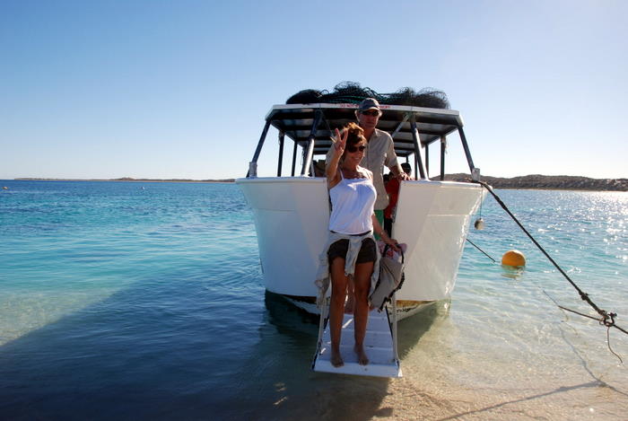
- Leaving a glass-bottom, coral-viewing boat at Coral Bay, Indian Ocean.
Coral Bay is protected by the Ningaloo Reef, Australia’s only fringing reef. The coral starts right at the water’s edge.
-
- The settlement of Coral Bay.
Coral Bay is a very popular holiday spot for swimming, snorkelling and fishing. One trip to Coral Bay was during the Adventure Downunder.
Dailey River Beach
-
- Bogged in seaweed on Dailey River Beach.
Dailey River Beach is to the east of Duke of Orleans Bay, north-east of the headland (almost an island) reserved as the Recherche Archipelago Nature Reserve.
Seaweed is treacherous. Especially dry seaweed with a thin coating of sand to disguise it.
More about this trip here.
Denmark Beach
-

- On Denmark Beach.
Denmark Beach is among the most beautiful on the south coast.
Duke of Orleans Bay Beach
-
- This headland is where the Dailey River flows into the Duke of Orleans Bay, Archipelago of the Recherche.
Duke of Orleans Bay Beach extends from the caravan park in the south three kilometres to the Recherche Archipelago Nature Reserve. It is a comfortable beach to drive on and these is a small dune ‘playground’ partway along.
-
- Drive along Orleans Bay.
-
- Heading east past Munglinup Creek.
-
- Orleans Bay beach
-
- Orleans Bay
John Forrest was the first to mention this name in 1870 without mentioning who named it or whether it was named after a member of the French aristocracy or quite possibly, a ship.
We camped at the Duke of Orleans caravan park during our Cape to Cape trip .
Dunn Beach
-
- Heading to Dunn Rocks along the beach, Rossiter Bay, Cape Le Grand National Park.
Rossiter Bay is split by Dunn Rocks. The name is derived from an early settler’s nearby farm called Dunns farm.
-
- Rossiter Bay before Dunn Rocks
-
- Dunn Beach in Rossiter Bay
Dunn Beach is wide and white with interesting sections needing careful attention to stay safe. We visited this beach during our Cape to Cape trip.
Foster Beach
-
- Patrols on Foster Beach.
Foster Beach is a magnificent, white sand beach accessed via Minarup Track, 22 kilometres south-west of Bremer Bay. It can also be accessed through a difficult-to-follow course across dunes from the Cape Knob track.
We visited Foster Beach during one of our Australia Day breaks.
Hellfire Beach
-
- Fishers at Hellfire Bay Beach, Cape Le Grand National Park.
-
- Hellfire Bay
-
- Rock face at the eastern side of Hellfire Bay.
A beautiful, white sand beach, Hellfire Bay is in the Cape Le Grand National Park. It is thought to have been named after what is commonly known as St Elmo’s fire – an electrical discharge that sometimes occurs above ships’ masts.
-
- Hellfire Bay rock face.
-
- Hellfire Bay beach
We visited Hellfire Beach during our Cape to Cape trip.
Horrocks Beach
-
- Two vehicles bogged on Horrocks Beach, 50 km north of Geraldton.
Horrocks is a popular fishing spot. The soft sand on the beach can be treacherous but the dunes behind the beach are a four wheel drivers’ paradise.
-

- Horrocks Jetty
-
- Horrocks Beach
-
- End of the beach.
-

- Northern end of the Horrocks dunes.
-

- Horrocks Beach
-

- Big wide area in the Horrocks Dunes.
-
- Horrocks Beach north.
-
- Part of the Horrocks dune system.
The name for the settlement was used from 1947. It was named after Joseph Horrocks, who originally came to the district as Medical Officer at the convict settlement of Lynton in 1854.
We visited Horrocks during one of our annual Australia Day trips.
-
- Horrocks Beach north.
Israelite Bay
-
- Israelite Bay Beach provides not much more than access to the water.
Israelite Bay Beach is accessible by vehicle but it is covered in seaweed and hazardous to drive on. However, the beach to the south-west/south (around the corner of the headland) is pristine and whiter than white. The sand squeals when you walk or drive on it.
Andrew Dempster, Charles Dempster, G.M. Lanarch, George Maxwell and Billy explored the area in 1863 and Dempster applied the name Israelite Bay as this was the boundary between those aboriginals who did and did not practice circumcision at the time of the naming.
We have visited Israelite Bay a few times including this one.
Lake Boonderoo
-
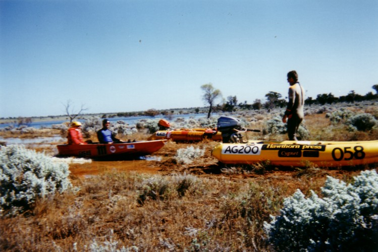
- Beach landing on the ‘margin’ of Lake Boonderoo, 280 km east of Kalgoorlie.
Lake Boonderoo has formed only twice since the colonisation of Australia. The last time was in 1995 after Cyclone Bobby caused Ponton Creek to pour millions of gigalitres of floodwaters into what once known merely as Yandallah Claypan. The resulting lake persisted for ten years and many families of birdlife lived their entire life here. It’s now back to being Yandallah Claypan.
In 1995 we explored Ponton Creek and Lake Boonderoo (more here). These beachlandings were spectacularly successful – so much so that the task of pushing the boat back to the water became onerous. It was nothing to get the craft 50 metres out of the lake.
Having taken an inflatable boat down to the underground pool at Cocklebiddy Cave (now closed) and used the same boat on Lake Boonderoo I’m fairly confident in claiming that the number of people who have gone boating above and below the Nullarbor Plain is a very, very small number – perhaps one.
The full story of our remarkable trip to Lake Boonderoo is here.
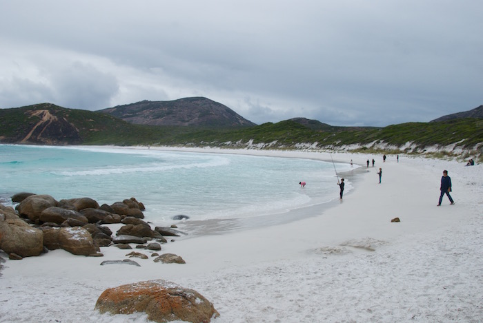
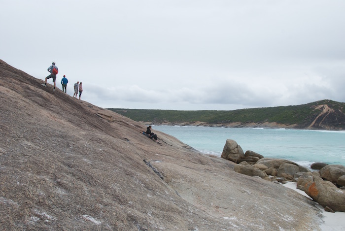
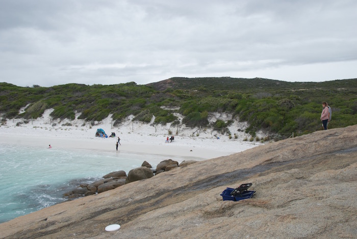
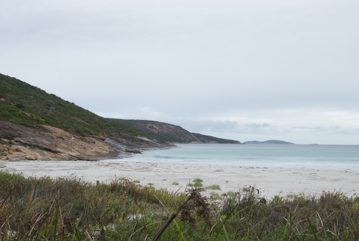
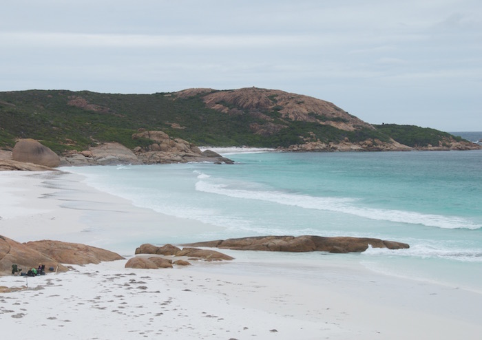
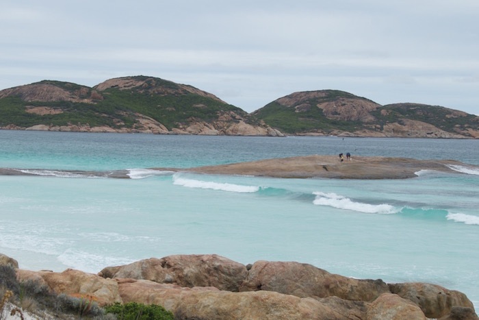
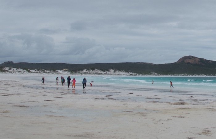
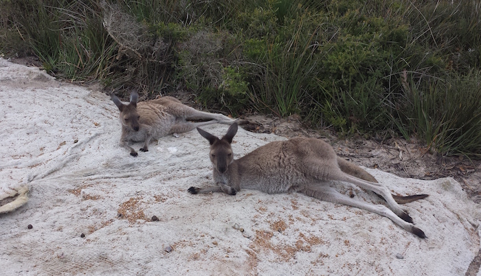
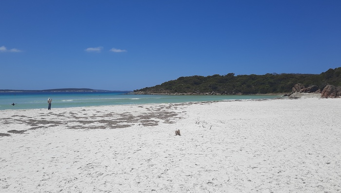
Lucky Bay, Cape Le Grand
-
- Lucky Bay, Cape Le Grand National Park.
This iconic stretch of bright white sand is the pinup beach for Tourism WA. Coupled with resident, friendly kangaroos it has become irresistible as a tourist destination. With good reason.
-
- The white sands of Lucky Bay. *
-

- Lucky Bay
-

- Lucky Bay
-
- Lucky Bay
-

- Eastern End of Lucky Bay
-
- Lucky Bay
-
- Lucky Bay
-

- Lucky Bay
-

- Oystercatcher?
-
- Lucky Bay
-
- Fishers on rock.
-
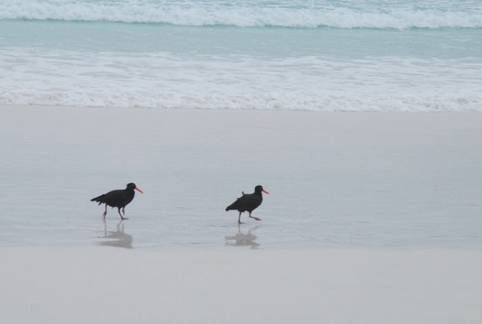
- Sooty Oystercatchers at Lucky Bay.
-
- Lucky Bay tourists.
-
- Skippies at Lucky Bay. #
This beautiful bay got its name from Matthew Flinders in 1802 because he considered it lucky that he found a safe anchorage at a potentially hazardous time in his circumnavigation of Australia. Finding himself among the myriad islands of the Archipelago of the Recherche, and seeing no possibility of reaching clear water in which to anchor for the night, and no prospect of shelter under any of the islands, Flinders adopted the hazardous measure of steering directly before the wind toward the mainland. He anchored in this bay overnight, sheltering from the dangers of the surrounding islands.
One visit to Lucky Bay was during our Cape to Cape trip.
Lucky Bay, Coral Coast
-
- Lucky Bay north of Port Gregory.
This pristine beach and surrounding dunes are paradise for four wheel drivers and consequently are very popular. Contrary to popular belief, Kalbarri to the north is accessible via the beach, dunes and roads without crossing private property – although the feat requires some ingenuity and confidence.
-
- Vehicle lineup in the Lucky Bay dunes.
-

- Lucky Bay
-

- Lucky Bay reef.
-
- The length of the fringing reef can be seen from the top of the extensive dunes.
-

- Easy drive along the beach to the end of the lagoon.
-
- Lucky Bay
-
- Lucky Bay north of Port Gregory.
-

- Beach at Lucky Bay.
-
- Lucky Bay
-
- Lucky Bay beach
-
- North of Lucky Bay.
-

- Pointing the Rodeo into the wind to cool down the auto trans.
There is no information about how the bay was named. We were there on one of our Australia Day trips.
Meerup Beach
-
- Lunch at the Meerup River on Meerup Beach, D’Entrecasteaux National Park.
-
- Meerup Beach, D’Entrecasteaux National Park.
Meerup Beach (WA Beach 581) is an extension of Warren Beach and takes it name from the Meerup River that enters the Southern Ocean here. In the first of the photographs above the vehicles are parked on the spit formed between the river and the ocean.
-
- Crossing Meerup River.
-
- Having fun on the Meerup River lagoon.

-

- The Southern Ocean is relatively calm at Meerup Beach
-

- Meerup River
The river was shown on public plans as Meerup Brook from 1877 until 1909, when changed to Meerup River. Earlier still it was shown as Bowles River.
Meerup Beach, Warren Beach and Yeagarup Dunes are very popular spots for fishing and four wheel driving. These photographs were taken during an Australia Day trip.
Murchison House Station
-
- Camping in the dunes back from the beach, Zuytdorp Cliffs, Indian Ocean, 40 km north of the Murchison River on Murchison House Station.
This unnamed beach on Murchison House Station was too exposed for comfort so we found a sheltered spot behind the dunes for the first night of our trip.
Pallinup Beach
-

- Sunbathers on Pallinup Beach.
Most of the usable beach is actually the bar across the Pallinup River that separates the Pallinup Estuary (more correctly Beaufort Inlet) from the Southern Ocean.
-

- A secondary track to Beaufort Inlet/Pallinup Beach.
-

- Pallinup Beach
-
- Southern end of Pallinup Beach.
-

- Pallinup Beach.
-

- Towards the southern end of the beach
-

- Pallinup River’s Beaufort Inlet.
Access either from Borden-Bremer Bay Road or South Coast Highway is a bit of a mission so Pallinup Beach (WA Beach 326) is never crowded. Being an east facing beach it is somewhat protected by Groper Bluff.
More about this magnificent beach here.
Poison Creek Beach
-
- Poison Creek Beach, Cape Arid National Park.
Poison Creek Beach (WA Beach 55) is a disappointingly small stretch of sand at the end of a long drive down Poison Creek Road in Cape Arid National Park. It is in the larger Sandy Bight, separated from the Great Australian Bight by Cape Pasley. The creek doesn’t enter the ocean and the build up of seaweed on the beach makes it uninviting.
This cape was given the name ‘Cap Arride’ by D’Entrecasteaux in 1792. The name was anglicised to Cape Arid by Matthew Flinders in 1802.
Port Gregory Beach
-
- Port Gregory Beach
The beach at Port Gregory (WA Beach 1120) extends less than two kilometres to the south east and about a kilometre to the north-west. Great for swimming and fishing. Some bottlenose dolphins came inside the barrier reef when we were there.
Lt. B.F. Helpman of the colonial schooner Champion named this port after brothers Augustus and Frank Gregory in 1849.
Reef Beach
-

- Reef Beach
-

- Lineup on the Reef Beach dunes.
Unsurprisingly, Reef Beach (WA Beach 323) received its name because of the fringing reef that extends for about seven kilometres, approximately 50 to 200 metres offshore.
-

- Reef Beach is the central beach in Wray Bay. It is a ‘high energy’ beach that directly faces the Southern Ocean.
-

- Dunes close to the water can be difficult to get around, particularly at high tide.
-

- The track leads to spectacular Reef Beach.
-
- Reef Beach
-

- Arrival on Reef Beach.
One of our visits to Reef Beach was during an Australia Day break.
Rossiter Bay Beach
-
- An unnamed creek flows across the beach at Rossiter Bay.
Rossiter Bay stretches 28 kilometres from Cheyne Point to Mississippi Point. It’s a great beach for four wheel driving. Wide, open and white.
The bay was named by Edward John Eyre in June 1841 after Captain Rossiter of the French Whaler Mississippi who gave Eyre assistance at this place.
-
- Kim’s Rodeo – flat tyre from previous day on roof rack.
-

- Terns
-
- Sea Eagle
-

- Hopeful fishers.
-

- Emu
-
- Inshore islands.
-

- Rossiter Bay
-
- Unnamed island in Rossiter Bay.
-

- Unnamed creek just after accessing the beach
It was shown as Rossiter Harbour by C.D. Price during telegraph line surveys in 1876/77. Price incorrectly applied the name Rossiter Bay to a small cove within Esperance Bay. This confusion was increased when Eyre’s Rossiter Bay was shown as Mississippi Bay after hydrographic surveys by Commander J.W. Combe RN in 1900-1901. Because of this confusion Combe’s Mississippi Bay and Price’s Rossiter Bay were changed to Rossiter Bay and Wylie Bay respectively at the suggestion of Surveyor General T. S. Parry in January 1947.
We accessed this beach off Saddleback Road and travelled about 18 kilometres west along the sand to an exit track that leads to neighbouring Lucky Bay. More about this trip.
Shell Beach
-
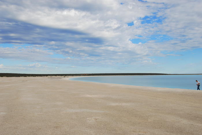
- Shell Beach, Shark Bay.
In Shark Bay is one of only two beaches in the world made entirely of shells – Shell Beach. This amazing beach in L’Haridon Bight is made up of billions of tiny coquina bivalve shells.
-
- Shell Beach is in L’Haridon Bight. It is one of only two beaches in the world made entirely of shells, billions of tiny coquina bivalve shells.
-

- Shell Beach.
-
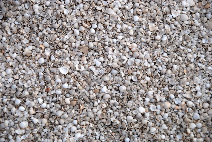
- The entire beach is shells.
-
- Shell Beach, Shark Bay.
-

- Shell grit on the beach.
In 2017 Shell Beach (WA Beach 1394) was named by National Geographic as one of the world’s top 21 beaches.
Starvation Boat Harbour Beach
This beach (WA Beach 226) is accessible from Southern Ocean Road, a good track that runs east out of Hopetoun for forty kilometres.
It was the start point for the No.1 Rabbit Proof Fence built in 1905.
-

- Greg manoeuvres his BT50 through rocks.
Unfortunately , this very historically important beach is navigable for only 400 metres. The way off the beach needs to be approached with care.
-

- Graham takes his Prado off the beach.
-
- Scott takes his Patrol over the rock ledge onto Starvation Harbour Beach.
Tooregullup Beach
-
- On Tooregullup Beach near Gordon Inlet in Doubtful Islands Bay north-east of Bremer Bay.
Tooregullup Beach (WA Beach 298) extends south from Gordon Inlet – the access point to the beach – eight kilometres Whalebone Point. It is in the larger Doubtful Islands Bay, fifteen kilometres east of Bremer Bay.
-
- Tooregullup Beach
-
- On Tooregullup Beach at Gordon Inlet.
-
- Tooregullup Beach vegetation.
-
- On the way to Tooregullup Beach.
The name for the beach is derived from a nearby swamp that was named by surveyor B.W. Ridley in 1896.
Warren Beach
-
- Warren Beach, D’Entrecasteaux National Park.
-
- Warren Beach
-
- Crossing the Warren River on Warren Beach.
This wonderful beach (WA Beach 582) extends from Black Head in the south-east to Yeagarup Beach in the north-west. Many people come onto the beach by descending Yeagarup Hill with the intention of exiting it via Callcup Hill. This entails crossing the Warren River which, depending on the time of the year, may or may not be feasible.
Whether one descends Yeagarup Hill and climbs Callcup Hill or tackles the trip in reverse it is always a challenge and lots of fun. The key is tyre pressure.
-

- The Southern Ocean at Warren Beach.
-
- Extricating the F Truck.
-
- At the mouth of the Warren River.
-

- Warren Beach
Two things you can count on at Warren Beach. It will be windy and the sea will be rough. I have never seen the Southern Ocean flat calm.
The river after which the beach was named was noted by Lieutenant William Preston in April 1831 during an expedition along the south coast but was not named by him. It is presumed to have been named by Governor James Stirling soon after receiving Preston’s report.
Stirling named after the river after Admiral Sir John Borlase Warren RN (1753-1822) who was Commander-in-Chief of the North America Station during the period Stirling was captain of HMS Brazen. Stirling engaged in naval activity off the North American coast in 1813 during the war with America.
Wattle Camp Beach
-
- Whalebone indicating the turn off to Wattle Camp, Great Australian Bight.
Wattle Camp Beach is invariably covered with seaweed. It is officially part of Bilbunya Beach (WA Beach 23). Alexander Forrest recorded this name for a camp set up by John Forrest’s exploration party on 30 May 1870.
WA Beach 222
This long (6.6 km), curving beach is to the east of Starvation Harbour beach.
Whenever a beach narrows and the angle of the sand increases it is time to consider an exit.
-
- Our convoy on WA Beach 222 not long before it narrowed and angled.
-
- WA Beach 222, east of Starvation Boat Harbour.
-

- Peter turns the Hilux on an unnamed beach (WA Beach 222) before the point where the Patrol was bogged.
-

- Jo turned around the Prado with a bit of help from bystanders.
-
- Joanne reversed the Prado into a break in the dunes.
-

- Proof that these are not just roof rack ornaments.
WA Beach 334
Though not possessing an official name, WA Beach 334 will draw out some suitable expletives to describe the very soft sand encountered for 400 metres of its length from the entry point but which very likely extends a further kilometre to the west.
-

- Entry to Beach 334.
Each of the drivers of the vehicles shown in the following pics is very experienced driving on beaches. The tyre pressure of each of the vehicles was around 10 psi. It was a very soft beach.
-

- Graham is stuck.
-

- Dan and Alan unsticking Dan’s Prado.
-

- Manpower did the trick.
-

- Dan’s turn to move some sand.
-
- Lots of helpers eventually got the Disco unbogged.
Apart from the soft sand challenge, the waves of the magnificent Southern Ocean, the howling winds straight Antartica and the brilliant blue sky there is not much to recommend this place.
Wharton Beach
-
- Wharton Beach
Beautiful Wharton Beach (WA Beach 115) is immediately to the south of the Duke of Orleans Bay caravan park.
The beach is wide and firm, perfect for four wheel driving and. at just over a kilometre in length, it has plenty of space.
-
- A Pacific Gull on the beach.
-
- Looking at Hammerhead.
-
- Fishers at Wharton Beach.
-
- On Wharton Beach. #
-
- Airing down.
The beach is named after nearby Wharton Island which was named during a hydrographic survey in 1900 after Admiral Sir William J.L. Wharton, Hydrographer of the Royal Navy 1887.
Yeagarup Beach
-
- Patrol and F Truck on Yeagarup Beach, D’Entrecasteaux National Park.
-

- Driving down Yeagarup Hill to get to the beach.
The combination of Yeagarup Dunes, Yeagarup Hill and Yeagarup Beach (WA Beach 583) is a four wheel driver’s dream. Beautiful, challenging and interesting.
-
- Patrol and F Truck on Yeagarup Beach, D’Entrecasteaux National Park.
The drive from the air down point at the end of Ritter Road, through the forest to the face of the dunes is just the start of the adventure. Once on top of these 100 square kilometres of dunes it is another world, an experience one can get only at Yeagarup. A 2.5 kilometre drive over bright white dunes leads into a bush track. Four kilometres along this track is Yeagarup Hill. Great to descend but a challenge coming back up. At the bottom of this long hill is magnificent, windswept Yeagarup Beach. Always interesting, always a fantastic drive.
© Kim Epton 2010-2024
4298 words, 166 photographs.
Feel free to use any part of this document but please do the right thing and give attribution to adventures.net.au. It will enhance the SEO of your website/blog and Adventures.
See Terms of Use.
