Coolgardie Day Festival
Unwittingly, we drove into Coolgardie as the Coolgardie Day festival was in full swing. The main street (Great Eastern Highway) was closed for the length of the town.
Detour, detour, detour. One way to get to see parts of Coolgardie never previously visited.
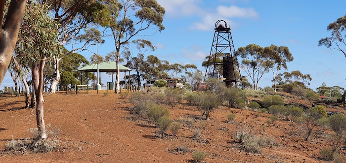
- Lions Lookout, Coolgardie.
- View from Lions Lookout, Coolgardie.
Burra Rock
We took Hunt Street south out of town, heading to Burra Rock.
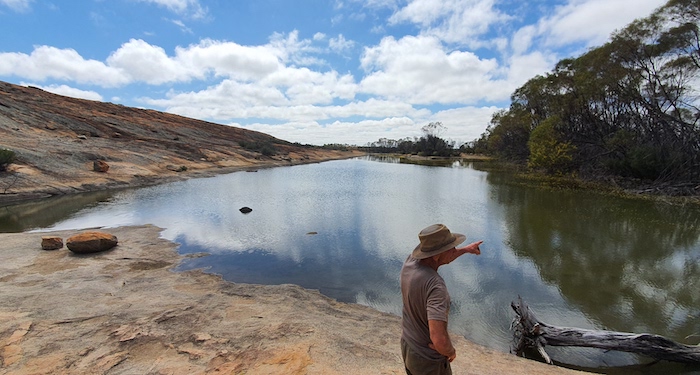
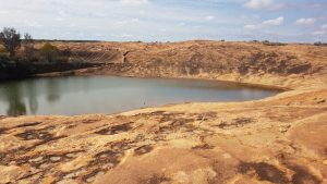
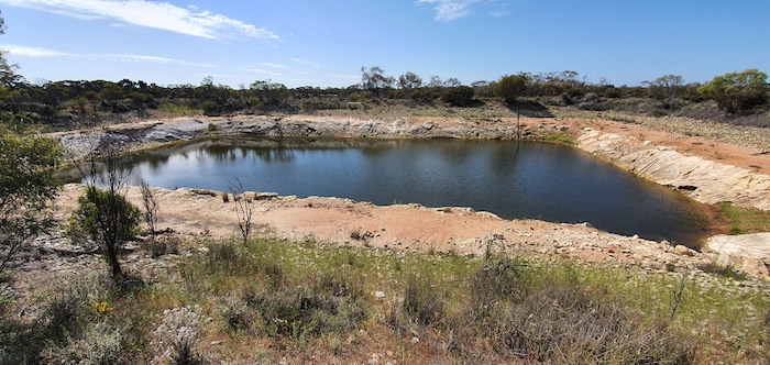
- Burra Rock reservoir.
- Greg at Burra Rock rservoir.
Cave Hill
The track from Burra Rock south to Cave Hill is easy enough though 16 kilometres from Cave Hill there are a couple of turns that tighten on the drive through them and one of the bends is reverse camber.
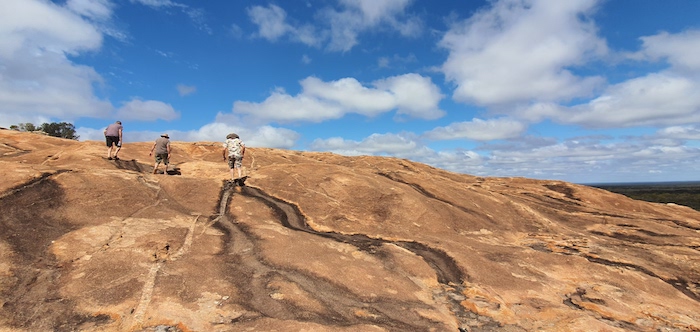
At Cave Hill we visited the summit, the wave, the cave and the dams.
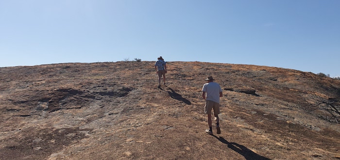
- Climbing Cave Hill.
- Greg at the cairn on the summit.
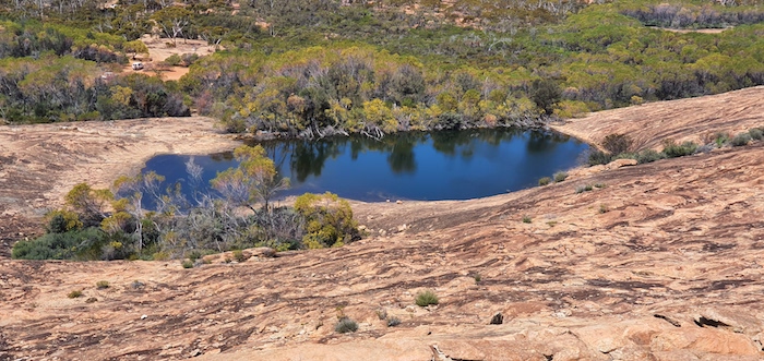
- Small , shallow depressions hold water at the top of the hill.
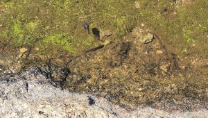
- Tadpoles in the remaining water.
From the summit we walked around to the southern side of the hill to the ‘wave’. The long wave has two eroded holes in its face, known as tafoni.
- Two tafoni on the long wave of Cave Hill.
- Fascinating example of nature at work.
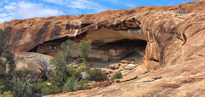
- The cave at Cave Hill.
- The cave at Cave Hill.
The Cave at Cave Hill
The cave/tafone at Cave Hill is supposedly unsafe and it is imminent danger of collapse. Imminent in manmade terms is just the Department of Parks and Wildlife (DPaW) covering their collective bureaucratic backside. Imminent in geological terms could be a few million years.
The Dams at Cave Hill
From the cave we walked over to the dams.
- Pioneers built reservoirs to catch the runoff from granite outcrops and they needed to be fenced to keep out animals. The inability or lack of resources to drill into the hard rock meant that other more innovative methods had to be employed to keep the fenceposts upright. It is testimony to their workmanship that they are still standing and still in good order – although the wire has disappeared.
- The fence covered an extensive portion of the rock.
- Builders of the fence had to use whatever was available to keep the posts upright. The wire struts have rusted little in the dry environment.
Feral Donkeys
There was plenty of evidence of feral donkeys in the vicinity of the dams.
The track from Cave Hill to the Victoria Rock Road had recently been wet and, while not a challenge, it was interesting and required one’s undivided attention.
Seldom Used Track to Yerdanie
The drive back to the Great Eastern Highway was on a track that no-one in the group had been on before (Dally Track). It showed as an indistinct line on Google Earth and we were not sure that it would communicate with Yerdanie. As it turned out it had clearly not been driven for many years but it was passable and was a great drive requiring plenty of concentration. One of the reasons we do these trips.[Update: As of 2024 Dally Track has been upgraded – possibly to provide easier movement for the local dogger – and is now no-where as interesting or challenging. Two wheel drive track.]
- Climbing to the top of Yerdanie Rock.
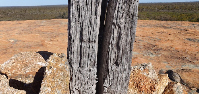
- The letter H was inscribed into this survey post. Possibly placed by surveyors H.S. King or H.F. Johnston.
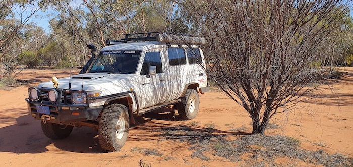
- Mushy’s Troopy parked in the shade at Yerdanie.
Woolgangie
Hunt considered Woolgangie one his best water supplies.
- Woolgangie Reservoir.
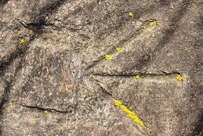
- Symbol of the government Public Works Department etched into the rock at Woolgangie.
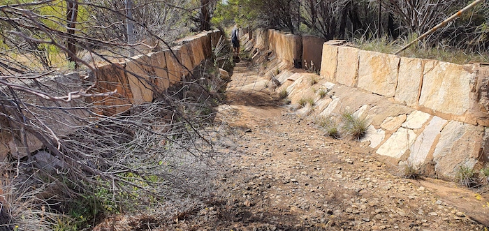
- Water is channelled off the rock into the reservoir.
Hermit’s Hut
The ‘hermit’s hut’ near Boorabbin is always worth a visit.
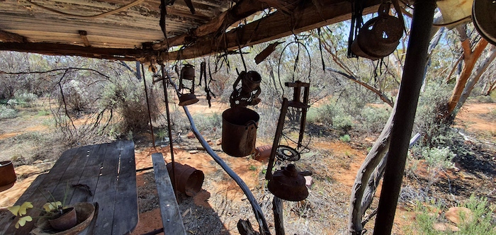
- Hermit’s hut.
- Everything left as if the occupier left in a hurry.
[In 2022 a government agency pushed through a track close to this oddity of the Australian bush – possibly the Dept of Agriculture to allow ease of access for the local dogger – the result of which was destruction of the Hermit’s Hut.]
The Road Trip ended at Boorabbin.
© Kim Epton 2019-2024
664 words, 26 photographs.
Feel free to use any part of this document but please do the right thing and give attribution to adventures.net.au. It will enhance the SEO of your website/blog and Adventures.
See Terms of Use.

