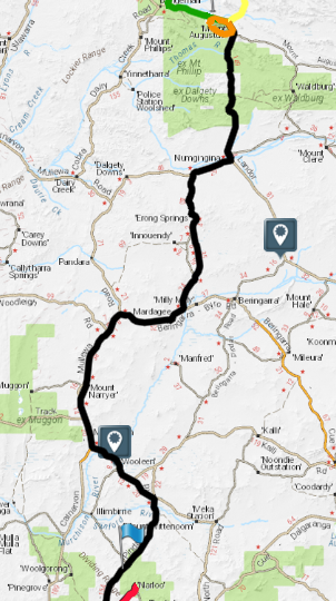
- Mount Augustus to Poondarrie Rocks Map.
Garry and Kirk, Eugene and Corey, and Joe stayed behind to sort out tyre issues when we left Mount Augustus.
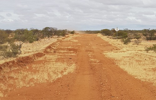
We crossed the Thomas River, passed Burringarrah Aboriginal Community and set a steady pace south.
We arrived at Landor Station where the famous bush races are held each year.
In 1921 at a combined mustering camp, which was the custom in those days, a number of stockmen from stations in the area from Milgun, Mt Augustus, Mt Seabrook, Erravilla and Landor were having a day off. These men were resting and doing their washing when they started to argue about who had the fastest horse. Following discussions with interested parties from the surrounding stations, the Eastern Gascoyne Racing Club was formed and the Landor tradition was born.
The first Variety Club Bash in Western Australia (1989) visited the Landor Races.
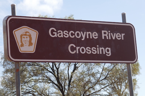
The Gascoyne River flows through Landor station, only a couple of kilometres south of the homestead.
- Just south of Landor.
- Looking down the Gascoyne River.
- Looking up the Gascoyne River.
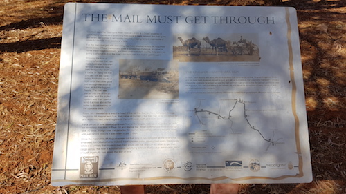
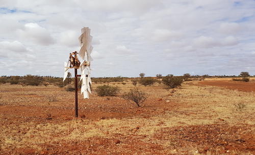
A flying fox system had been established to convey items across the river. Unfortunately the half drum used for this is now missing – probably swept away in the last floods. It was there in 2013 when we last visited Mount Augustus.
- The mail must get through.
- Anchor tree for the flying fox used to get the mail across the river.
Just past the Gascoyne River we turned west onto the Dalgety Downs Road.
A very distinctive windmill marked our turn onto Erong Road.
- White windmill marks the turn to Erong Road.
Joe and Eugene and Corey caught up to us while were travelling south on Erong Road. Garry and Kirk considered that they did not have sufficient tyres to complete the trip so they decided not to continue south out of Mount Augustus but rather head to Carnarvon.
- Erong Road
- Along Erong Road.
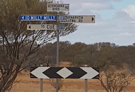
- Intersection of Erong Road and Beringarra-Byro Road.
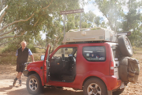
- Scott and Helen in the Jimny near Milly Milly Crossing.
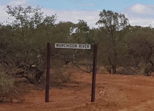
At the T junction with the Byro-Berringarra Road our destination was to the right but we took time out to drive to the Murchison River at Milly Milly Crossing, about a kilometre to our left.
- At Milly Milly crossing.
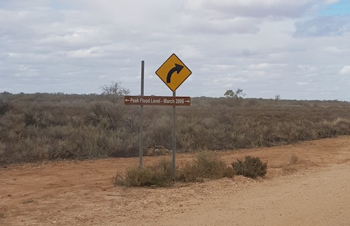
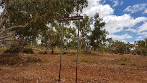
- Murchison River flood level.
- Scott with his Jimny at the Milly Milly crossing.
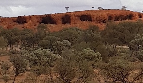
- Interesting caves west of the Murchison River.
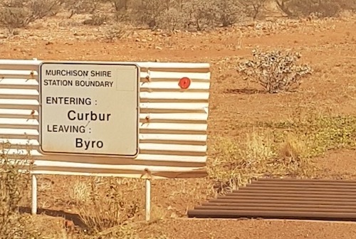
We stopped for lunch on the side of the road just after we turned onto the Carnarvon Mullewa Road.
- On the Carnarvon-Mullewa Road.
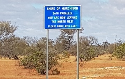
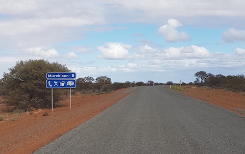
- Approaching Murchison.
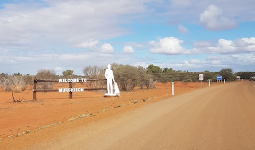
- Entering Murchison Settlement.
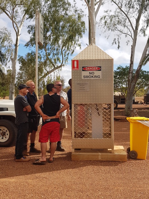
Getting fuel at Murchison Oasis Roadhouse was a debacle. The single bowser and card system can handle one or two vehicles at a time but couldn’t cope with 11 vehicles.
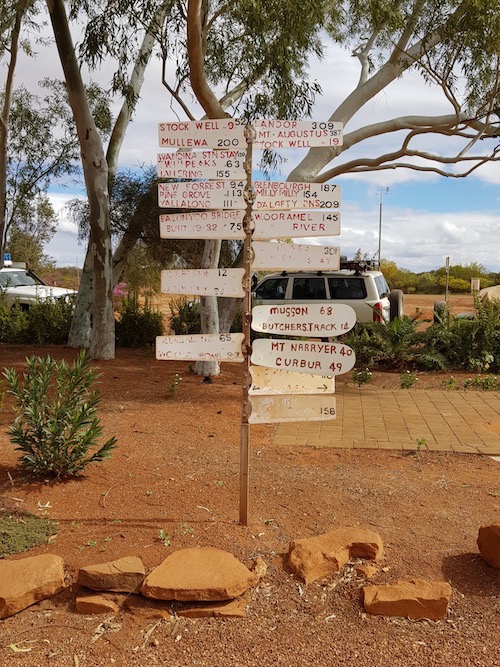
- Long way to anywhere.
- Slow system.
After what seemed to be an an interminable process we left the Murchison Settlement headed for our overnight stop via Meeberie and Yuin.
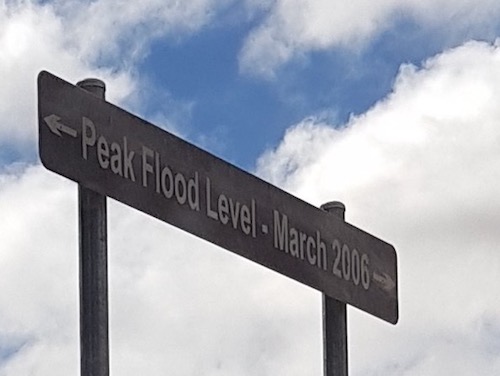
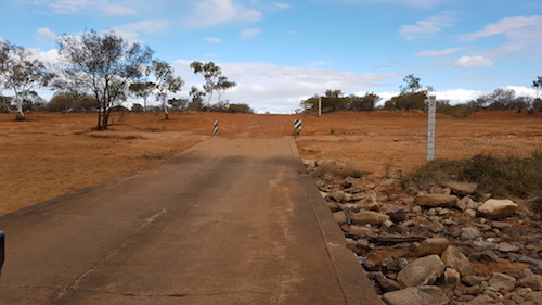
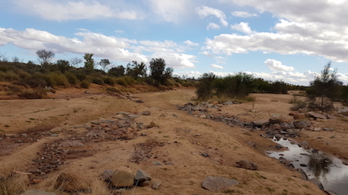
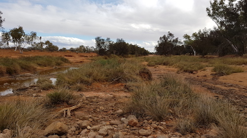
The level of the record 2006 flood was plain to see at Murchison Crossing, near Meeberie.
- Murchison Crossing
- Upriver
- Downriver
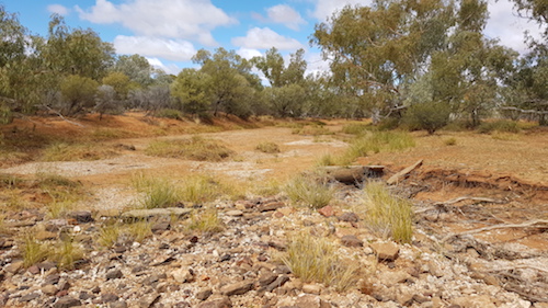
We turned off the Meeberie Mt Wittenoom Road onto the Pindar Road and the evidence of the record floods was again visible as we crossed the Sanford River.
- On the river’s floodplains.
- Sanford River.
The river was named by surveyor/explorer Robert Austin during his explorations in the Murchison in 1854. He named it after William Ayshford Sanford (1818-1902), the then Colonial Secretary of Western Australia from 1852 to 1855, who identified the zoological specimens collected on Austin’s expedition.
- Upriver.
- Downriver.
Shortly before we reached the Tardie Road I shot ahead to Yuin Station to let Rosco Foulkes-Taylor know that we were heading to Poondarrie Rocks.
These little known hills are rarely visited by anyone other than locals. They were named by surveyor John Forrest in the 1870s.
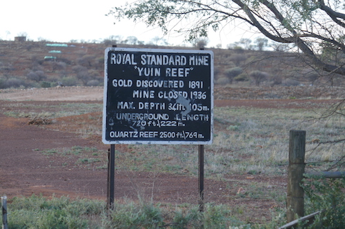
- Royal Standard Mine on Yuin Station.
- We’ve arrived.
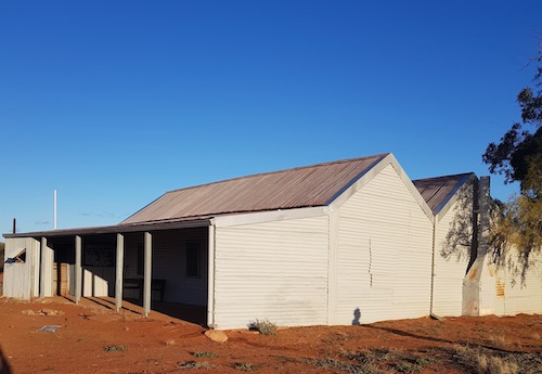
- Restored homestead.
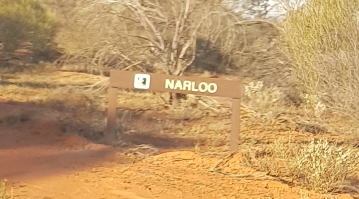
- The best preserved part of Narloo.
Narloo homestead has been restored by Trackcare.
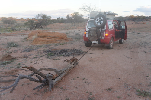
- Scott towing wood.
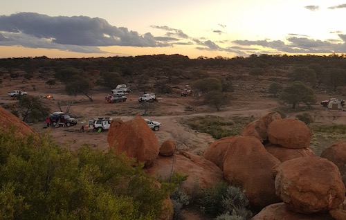
Our arrival coincided with a fierce south-west wind. Fortunately it decreased in intensity just after dusk and, with the cocktails coming thick and fast, we were able to have a pleasant night around the campfire.
- Our last camp.
Go to Day 10 Poondarrie to Perth
© Kim Epton 2019-2025
730 words, 32 photographs, one image.
Feel free to use any part of this document but please do the right thing and give attribution to adventures.net.au. It will enhance the SEO of your website/blog and Adventures.
See Terms of Use.

