
Route 2331 runs from Nakhon Thai to the intersection with Route 2372 (Phu Thap Boek Junction in Lom Kaao District, Phetchabun Province), a distance of 70 kilometres through the Phetchabun Mountains.
Route 2331 has ~330 changes in direction over its full length.
-

- Route of the convoluted descent from Phu Thap Boek.
Near the beginning of the Route and at the Phu Thap Boek camping area, the Department of National Parks has established a fee extraction point for travellers who wish to pass through the Phu Hin Rong Kla National Park – essentially a road toll as there is precious little to see in the National Park.
The Phu Thap Boek camping and resort area is an extremely popular destination for weekend getaways. It offers spectacular views and a challenging climb/descent to/from the lower parts – particularly if raining.
-
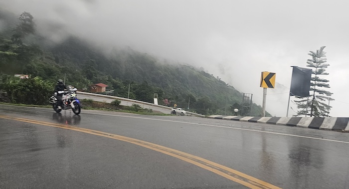
- Biker going uphill.
The locale has been developed over the years with now many structures perched at various sites down the mountainside offering precarious parking but great views stretching to the horizon.
-
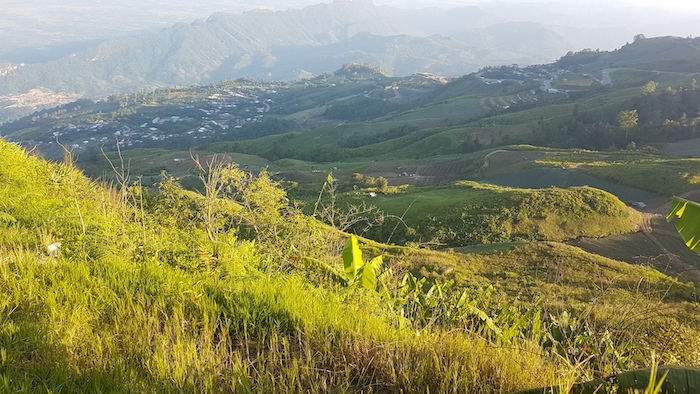
- Good view below Phu Thap Boek.
The Steps, 12 kilometres from the end of the route, are a series of 24 bends/curves (15 of them switchbacks) that lower the rider/driver down the eastern side of the mountains.
[IMAGE]
How the number of curves was calculated.
Download the GPX file
Download the Google Maps link
How does Route 2331 compare to the over-hyped Mae Hong Son Loop?
Thailand’s Road Numbering System
Return to Iconic Roads of Thailand.
© Kim Epton 2026
203 words.
Feel free to use any part of this document but please do the right thing and give attribution to adventures.net.au. It will enhance the SEO of your website/blog and Adventures.
See Terms of Use.