This Day Trip was a combination of the full Dally Track (Victoria Rock to Yerdanie Rock or vice versa – 37 kilometres) and a 36 kilometre section (Yerdanie Well to Gnarlbine Well) of the 500 kilometre Hunt Track (York to Hampton Plains).
Our Day Trip started at the intersection of Victoria Rock Road and Dally Track, 100 metres south of the turnoff to Victoria Rock.
-
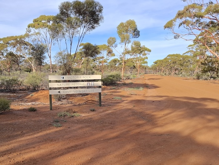
- Victoria Rock Reserve.
-
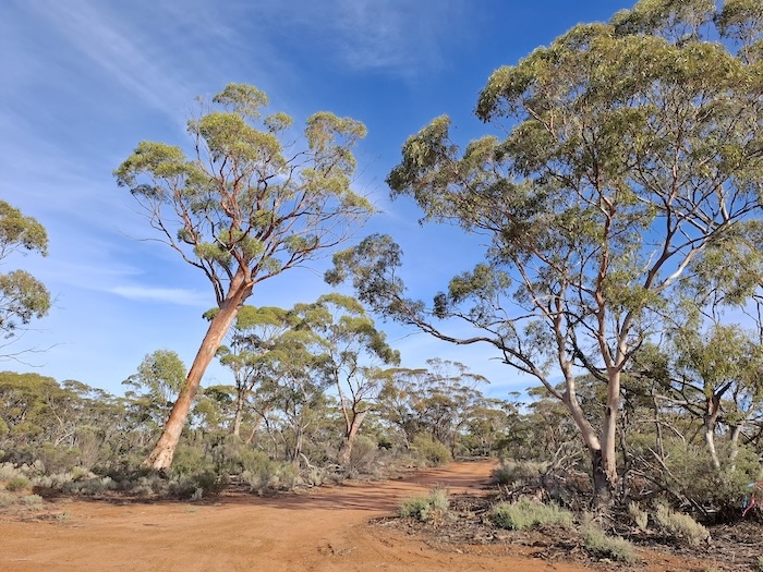
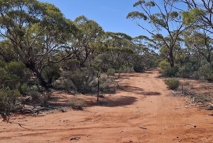
- Start of the Dally Track.
Dally Track was previously rougher, narrower and more serpentine but an upgrade around 2022 (possibly to improve conditions for the local dogger) has made it a much easier drive.
Eight kilometres along the Track is the distinctive Dally Gully.
-
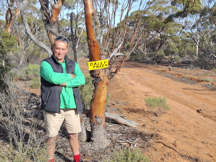
- Rod at the first Dally Track nameplate.
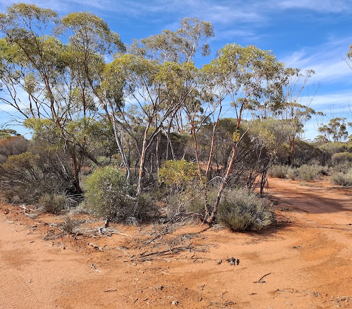
The open understory of the Great Western Woodlands through which the Dally Track runs offers numerous good campsites.
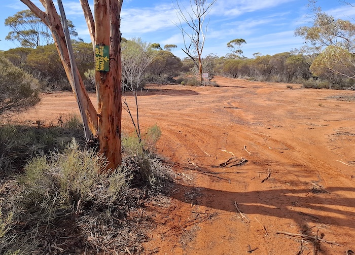
A number of other tracks cross the Dally Track.
-
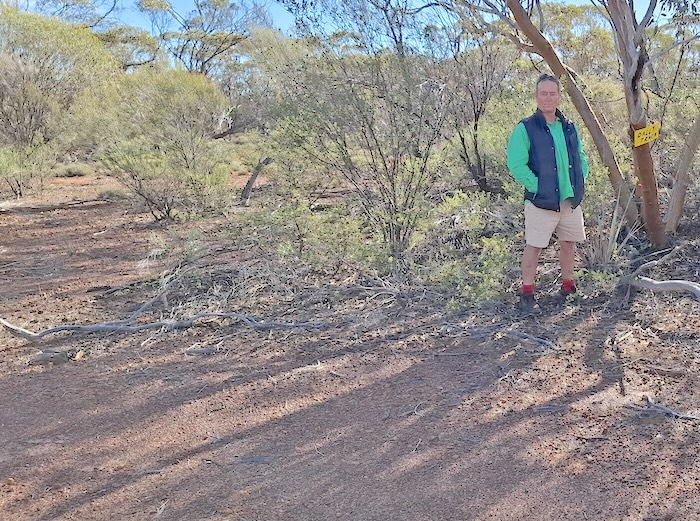
- The second nameplate is around two thirds of the way along the Track.
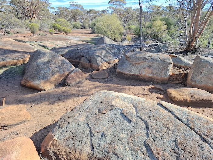
ZZ Rocks
The ZZ Rocks are located about 2.5 kilometres before the end of the Track.
-
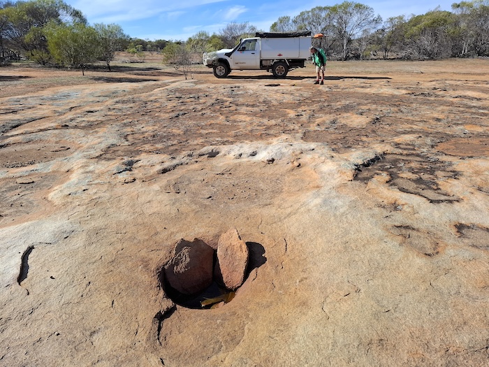
- Classic gnamma at ZZ Rocks.
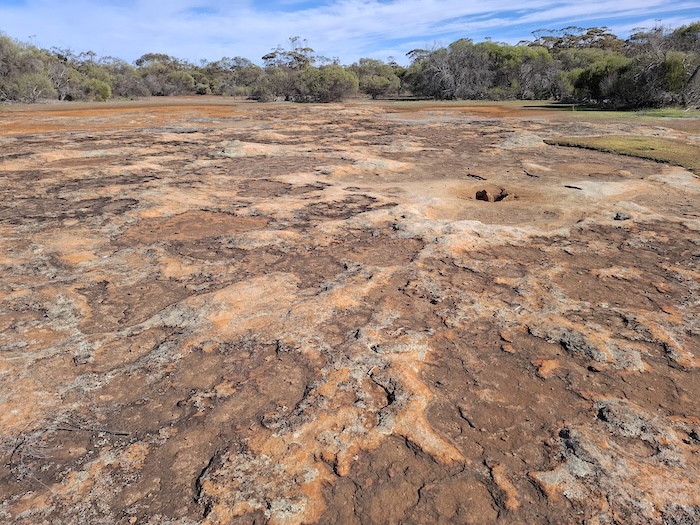
It was at this point that, previously, the Track disappeared. The subsequent work referred to above has made the Track quite easy to follow through the 300 metre extent of ZZ Rocks.
-
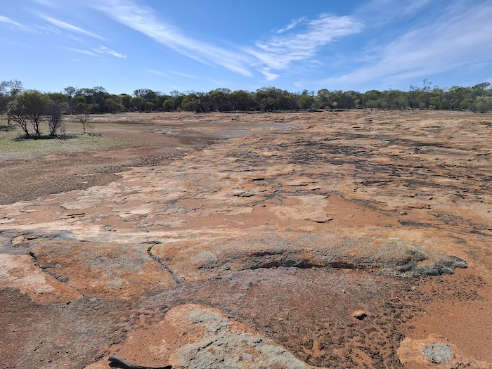
- ZZ Rocks is a large, low granite outcrop.
-
- Gnamma at ZZ Rocks.
Regardless of the track works, the features of ZZ Rocks remain extremely interesting – unaffected by any form of development.
-
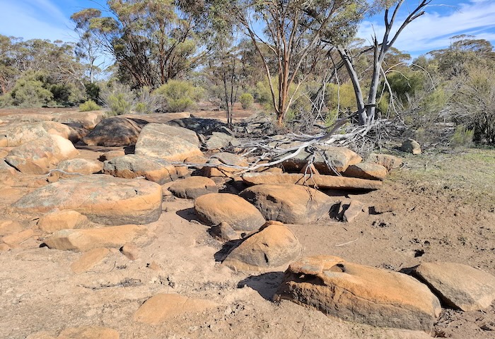
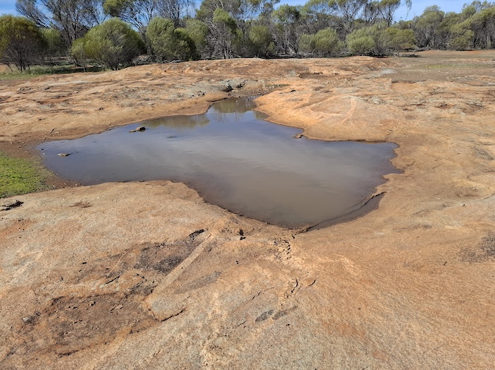
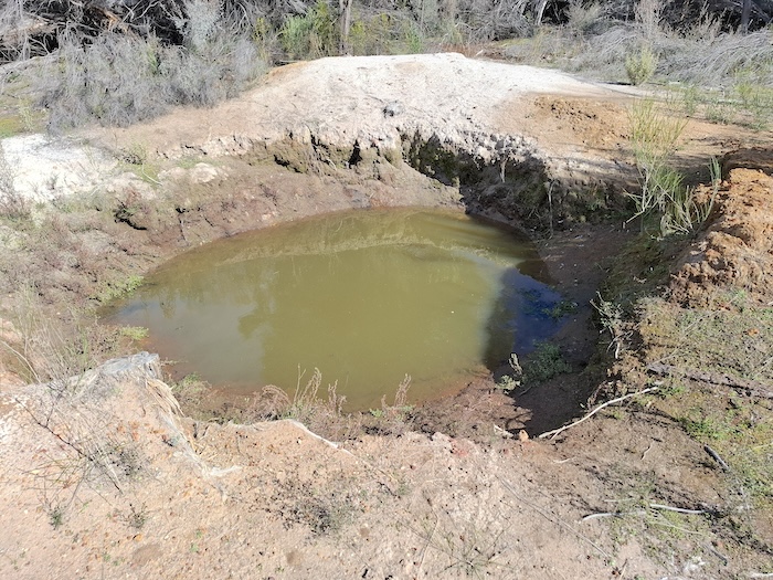
- Waterhole at ZZ Rocks.
-
- Waterhole at ZZ Rocks.
ZZ Rocks are at -31.20704 ,120.63581.
-
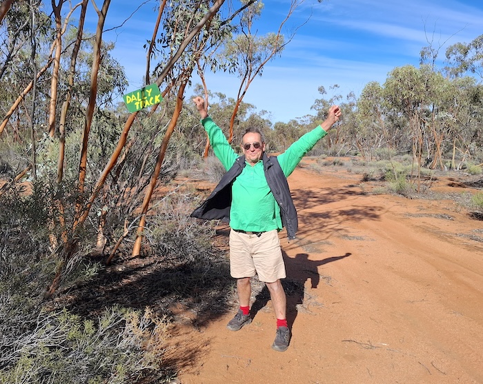
- Rod celebrates completing the Dally Track.
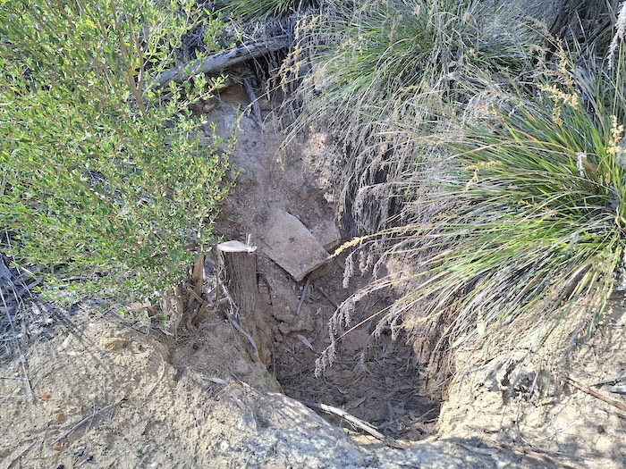
Hunt’s Well at Yerdanie
Although the Dally Track finishes at the intersection with Hunt Track at Yerdanie Rock we decided to check out Hunt’s Well only 400 metres to the north-west, around the perimeter of the rock. Yerdanie Well was rediscovered in 2020.
-
- Yerdanie Well was rediscovered in 2020.
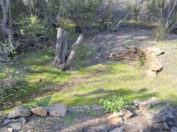
Pioneer Well at Yerdanie
-
- One of many pioneer wells at Yerdanie Rock. The date of construction is unknown.
We then returned to the intersection with Dally Track to complete the second part of the Day Trip – Hunt Track.
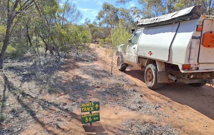
Hunt Track
This section of Hunt Track was refurbished in 2018 and 2019 and completes a lengthy though non-contiguous 4WD track from York to Coolgardie.
Since the work was completed in 2019 it gets regular usage, keeping it open. Like other good tracks in the Great Western Woodlands it is interesting without a high risk of potential damage to vehicles.
-
- This location at the boundary of Goldfields Woodlands National Park is where the 2018 track work finished and the 2019 refurbishment started.
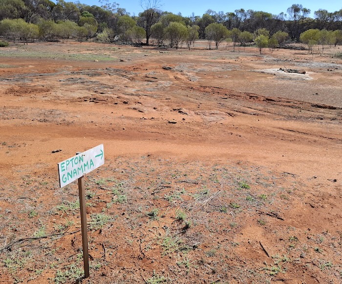
Epton Gnamma
Before the turnoff to Prince of Wales mine we stopped at a ‘classic’ gnamma named in 2023 by renowned current day bushman Alan McCall as Epton Gnamma (thanks Alan).
-
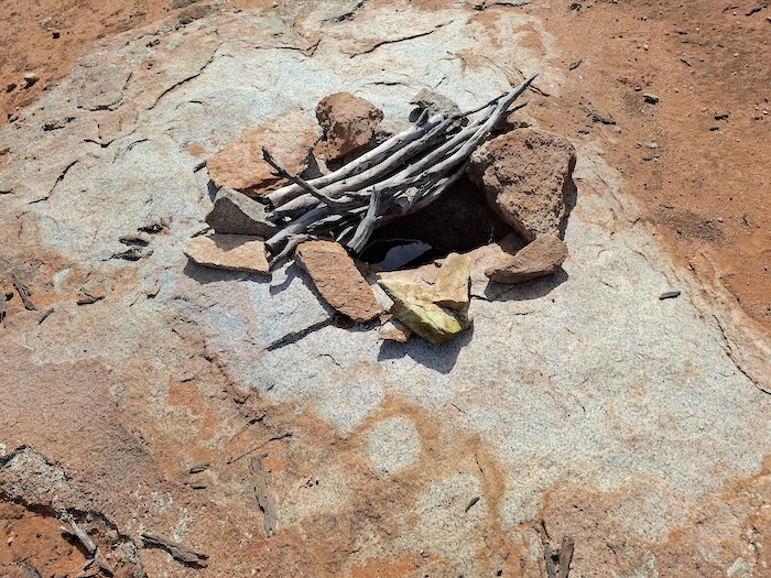
- Sticks help reduce evaporation and accidental ingress of animals. The angled stick allows insects, lizards and other reptiles to crawl out should they fall into the gnamma.
Gnammas are a common feature throughout Western Australia.
For some time we had seen vehicle tracks. After examining them we determined that they were reasonably fresh, certainly no more than a few days old. Perhaps someone’s weekend outing. The day after our Day Trip finished we caught up with Phil Bianchi and Alan McCall on our Bullabulling Wallaroo Goongarie Bush Trip to find out they had accessed Hunt Track via the track into the abandoned Prince of Wales mine and the tracks we had seen were those of Phil’s Toyota wagon.
-
- A rock pool along Hunt Track.
Prince of Wales Mine
The Prince of Wales turnoff indicates where the 2018 refurbishment of the Hunt Track started.
-
- The abandoned Prince of Wales mine is 900 metres to the left.
The inactive Prince of Wales mine is 900 metres north of Hunt Track. It is one of the coldest places in WA, regularly recording overnight temperatures of -5°C during the refurbishment of the Track in 2018 and 2019.
-
- Hunt Track is to the left.
File Tree
A tree studded with old files and rasps indicates where a disused woodline crosses Hunt Track. Since first getting attention the artefacts at the File Tree have increased.
-
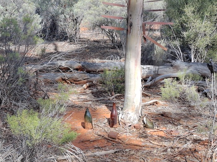
- The number of artefacts at the File Tree is increasing.
Gnarlbine Rock West Direct Access
A 30 metre section of Hunt Track was opened up in 2021, eliminating the need for a detour via the access road to a sand quarry to get to Gnarlbine Rock East. It also required a repositioning of the signpost!
-
- The previously impassable track track straight ahead has, since 2021, provided direct access along Hunt Track to Gnarlbine Rock West.
-
- Pioneer well at Gnarlbine Rock West.
Gnarlbine East
We continued along the historic track to Gnarlbine Rock East, marking the way with fluorescent flagging tape as we went.
The 73 kilometre Dally Track Day Trip finished at Gnarlbine Rock East.
3726 – Dally Track Day Trip GPX File
0067- Dally Track only GPX File
6014 – Hunt Track – Yerdanie Well to Gnarlbine Well only GPX File
© Kim Epton 2025
838 words, 22 photographs.
Feel free to use any part of this document but please do the right thing and give attribution to adventures.net.au. It will enhance the SEO of your website/blog and Adventures.
See Terms of Use.
