
Touring the West and North of Thailand
A nine day, 3000 kilometre Road Trip visiting highlights of the west, north and central north of Thailand.
The Thailand you won’t see on Trip Advisor or ‘sell your soul’ travel sites.
-
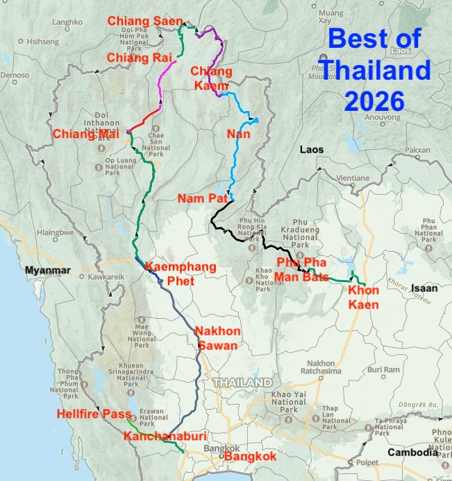
- MAP OF ROUTE BEST OF THAILAND 2026.
Happenstance discoveries and interactions. Cultural surprises with welcoming people. Replete with opportunities for an appreciation of place.
Unlike the advice in the Tourism Authority of Thailand’s ‘Top 10 Attractions around Blah Blah Blah – insert Destination’ (seven of which will absolutely be temples) this Road Trip did not need religious sites (unless they are ancient ruins more than 1000 years old) to have a fantastic, well-rounded cultural experience.
The story of our Road Trip includes numerous references to Thailand’s well-thought-out Road Numbering System that makes navigating the regions easier. Go here if interested.
Kanchanaburi
Scott and Maria arrived in Ban Pong by taxi from Bangkok and we transited to Kanchanaburi for a look around this historically important riverside town.
-
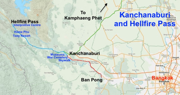
- Kachanaburi and Hell fire Pass.
The 12 metre high, 150 metre long Skywalk Over the River Kwai, constructed in 2022, has rapidly become a major tourist attraction. Probably conceived by the City Fathers to shift the focus of Kanchanaburi from the Death Railway/Museum/Cemetery, important as is it, to something more appealing to the current facile generation unaware and possibly uninterested in the horrors of WWII that took place right here.
-
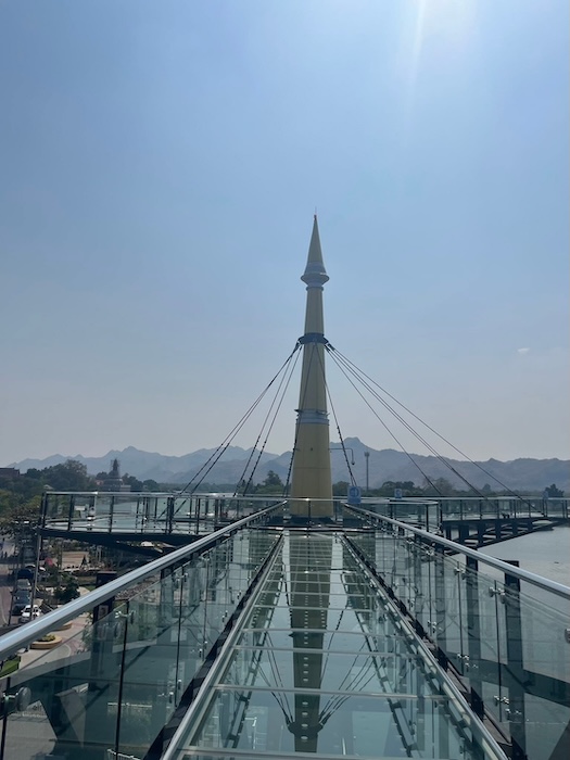
- Kanchanaburi Skywalk.
-
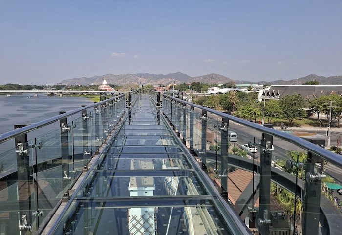
- Kanchaburi Skywalk with Erawan National Park and Tenasserim Hills in the background.
-
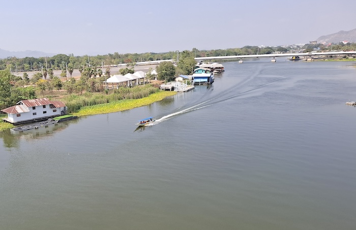
- The River Kwai (Khwae Yai). The famous bridge is four kilometres upriver.
-
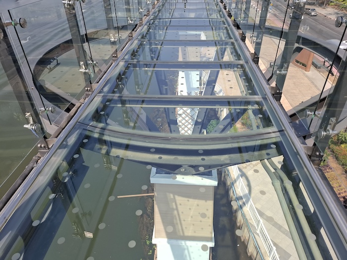
- The 12 metre high Skywalk is centrally located in Kanchanaburi.
The Skywalk is four kilometres downstream from the famous ‘Bridge over the River Kwai’.
Two rivers, Khwae Yai (Big River) and Khwae Noi (Small River), unite where the Skywalk is located to form the Mae Klong (Mother River).
-
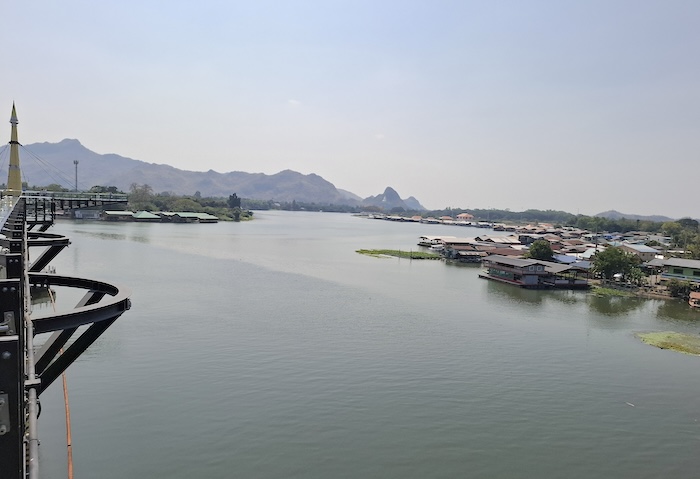
- The Skywalk is at the confluence of Khwae Yai and Khwae Noi, downriver from which the watercourse is known as Mae Klong.
Historically the river was known as the Mae Klong and the Khwae Noi was one of its tributaries. After the 1957 film The Bridge on the River Kwai made the location internationally famous the Mae Klong was renamed Khwae Yai upriver from the confluence. Popular culture reshaped official nomenclature.
Thai Burma Death Railway
After the fall of Singapore in February 1942 tens of thousands of captured Allied soldiers were held as Prisoners of War at Changi.
As the war continued, the Japanese Imperial Army used thousands of these PoWs from Singapore as forced labour to to build what became known as the Thai Burma Railway.
PoWs were transported to Thailand and Burma in overcrowded trains and ships, moved to construction camps, and ultimately worked to death.
Commonwealth War Cemetery
The War Cemetery at Kanchanaburi is a meticulously maintained site where 5084 British, Canadian, New Zealander and Australian casualties are buried or commemorated along with 1896 Dutch war dead.
Scott found his great uncle’s grave.
From prior research Scott was under the impression that his great uncle, Ken Moyes, Service No. WX10904, was buried in Changi but here was a grave for Kenneth Kingsley Moyes It was clearly commemorating Scott’s great uncle. A very touching moment.
Thai Burma Death Railway Museums in Kanchanaburi
The JEATH Museum on the River Kwai adjacent to rail bridge over the river (one of two JEATH Museums in Kanachanaburi) is like a mad woman’s breakfast with exhibits looking tired and lacking a specific theme. While most are worthwhile, many are garbage. Don’t waste your time here unless you have plenty of it.
The Death Railway Museum and Research Centre over the road from the War Cemetery is a high quality establishment that gives a full appreciation of the enormity of the inhumanity perpetrated by the Imperial Japanese Army during World War II.
Markets, Restaurant and ‘that Bridge’
Merch follows attractions and in true Thai fashion, the markets, restaurants, street food vendors, and hawkers of Kanchanaburi surround the town side of ‘The Bridge on the River Kwai’. A train arrives every now and then to take tourists across the River Kwai and then along the Thai Burma Railway two hours north to the nowaday terminus at Nam Tok Station. And of course, the eclectic and chaotic JEATH Museum is only metres away.
No-one seems to care about the authenticity of the bridge. No one seems to care that it is not the real ‘Bridge Over the River Kwai‘.
-
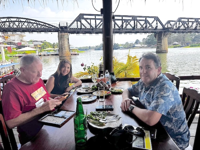
- Lunch at Goodway floating restaurant, Kanchanaburi with the faux bridge in the background.
Lunch at the Goodway floating restaurant provides great scenery and views of the ‘tourist bridge over the River Kwai’. Shades of the ‘Palace Toilet’ at Chiang Rai’s White Temple. So many ‘tourist traps’! The faux bridge notwithstanding it is a great tourist restaurant with a robust ambience that beautifully rounds out a trip to Kanchanaburi.
Hellfire Pass
We left Kanchanaburi for Hellfire Pass Interpretive Centre. After a 2019 refurbishment the information about the horrors that took place on the Thai Burma Death Railway was sanitised, censored and redacted by the Australian government upon Thai request. Eviscerated and emasculated so as not to upset Japanese tourists. Weary Dunlop would turn over in his grave.
-
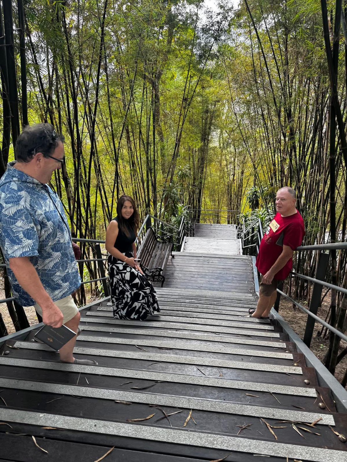
- Steps from Hellfire Pass to the Interpretive Centre.
Fortunately the museums in Kanchanaburi are brave enough to maintain the truth.
Some time between my last visit and this visit some truth has been restored to the display. But a long way from describing what actually happened. After the still-unedifying tour of the re-imagined Interpretive Centre we walked eerie Conyu Cutting (Hellfire Pass).
Shame, shame, shame on anyone involved in belittling or obfuscating the horror of those tortured, starved, murdered or beaten to death on this infamous railway.
-
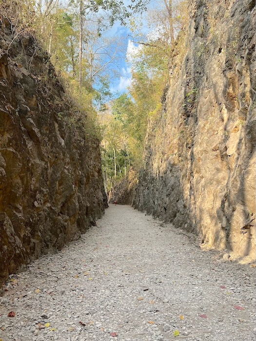
- Hellfire Pass (Conyu Cutting).
-

- Remembrance plaque at Hellfire Plaque.
Home Phu Toey Resort
Our overnight stay was at the excellent Home Phu Toey Resort one kilometre (direct line) to the south-east of Hellfire Pass where there are two small Death Railway museums, a train used on the Railway, a hot spring fed swimming pool and an excellent restaurant overlooking the Khwae Yai (River Kwai).
-
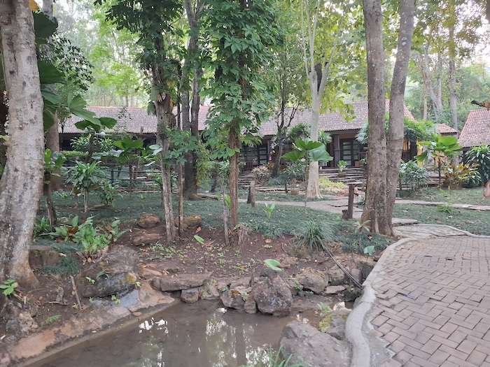
- Home Phu Toey Resort, Sok Yai.
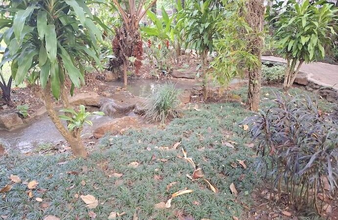
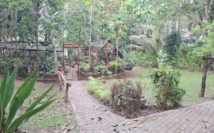
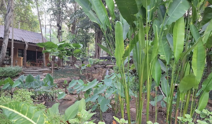
-
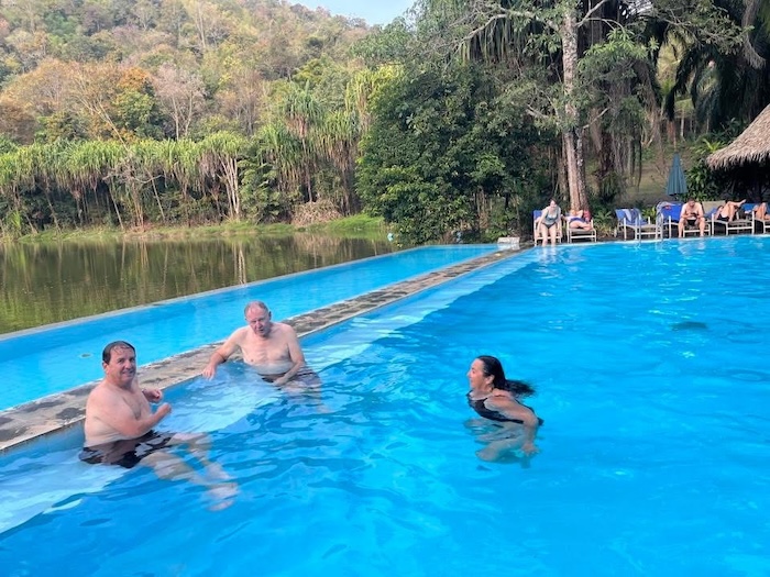
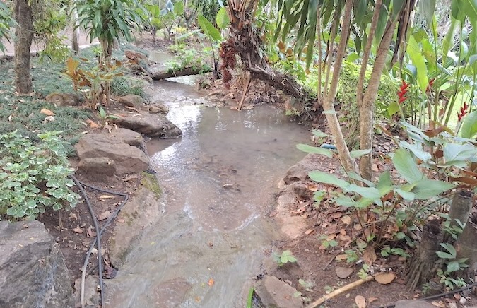
- Hot spa and pool at Home Phu Toey, Soi Yok.
Transition from the West to the Mountainous North
-
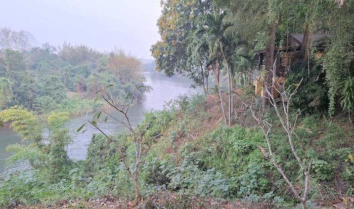
- Khwae Yai.
-
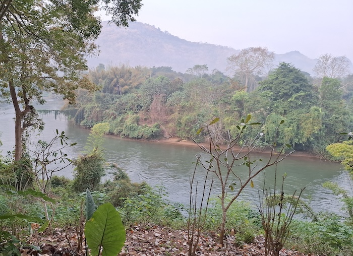
- Early morning.
On our 700 kilometre transition from ‘Bridge on River Kwai Country’ to the magnificent mountains of the north we passed through Suphan Buri and Nakon Sawan, and stopped at Kamphaeng Phet.
Kamphaeng Phet Historical Park
The World Heritage listed Kamphaeng Phet Historical Park breaks up the journey north. This huge, well preserved and easily accessible ancient ruins (14th–16th-century blend of Sukhothai and Ayutthaya styles) covers more than 825 acres. It’s huge!
-
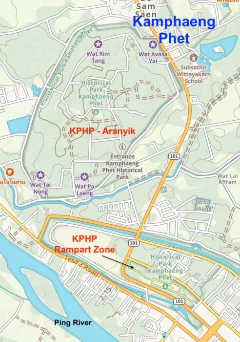
- Kamphaeng Phet Historical Park
Visitation to and discussion of ancient structures and ruins in Thailand is, by necessity, about only those that are religious in nature – not because this site has religious leanings – far from it – but because non-religious buildings such as dwellings were constructed of wood and other perishable materials and so they have not survived the millenniums. Religious buildings were constructed of stone and as such they are the only structures still extant.
-
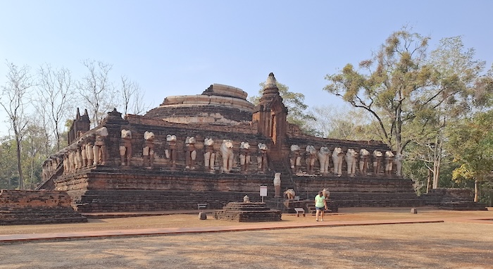
- Wat Chanp Rop, the main temple at Aranyik.
-
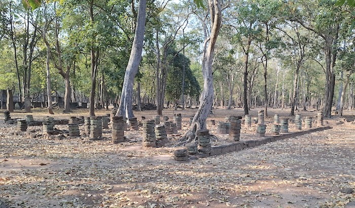
- Remains of a wihan (assembly hall) at Aranyik).
More photographs.
Overnight at Banana Hill
We stayed overnight at Banana Hill Resort.
Initially, I thought Google had done its usual country meandering, sending us on more and more turns down backroads that led nowhere, but no — it had landed us at a remote (for Thailand), reasonably new structure that, with all its bulk, simple lines and imposing presence, seemed terribly out of place in such a rural setting. We had the choice of the carpark.
Intrigued with the unusual name a little bit of research revealed its association to Kamphaeng Phet’s claim to produce Thailand’s best klua khai (egg bananas). The Kamphaeng Phet Banana Festival is a 10 day annual event held in September since 1982.
-
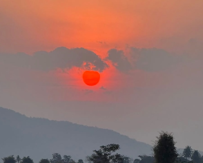
- Blazing red sunset at Banana Hill Resort, Kamphaeng Phet.
It was different, interesting and more than acceptable. My initial trepidations on the locale and its ability to produce were more than adequately dispelled – the evening meal, setting and company were fantastic.
-
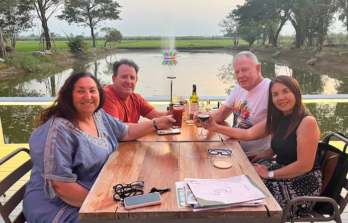
- Dinner at Banana Hill Resort, Kamphaeng Phet.
Kamphaeng Phet to Chiang Mai
Most of the morning was spent touring the Aranyik zone of the Kamphaeng Historical Park.
Leaving Kamphaeng Phet we travelled to Lampang, a major city in the Lanna kingdom (13th-18th century). It was largely overshadowed by Chiang Mai and Chiang Rai. Ultimately, for us, it was just a tick on the route northward.
Chiang Mai was the ancient capital of the Lanna Kingdom and today is Thailand’s second largest city (pop. 1,250,000 – compare to the primate city of Bangkok at 9.1M). At the time we arrived in Chiang Mai the traffic was very, very heavy. Finding accommodation was one thing – getting to it was another.
We went for a walk in the old part of the city and Scott’s chance encounter with a long time expat delivered us to an Italian restaurant — Ristorante Italiano Pulcinella da Stefano on Chang Moi Kao Road.
-
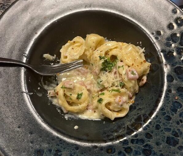
- Pasta
-
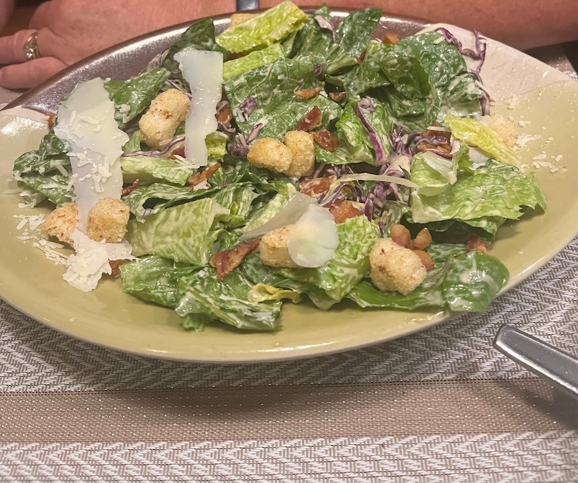
- and salad.
-
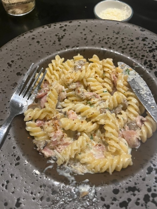
- Ristorante Italiano da Stefano,
-
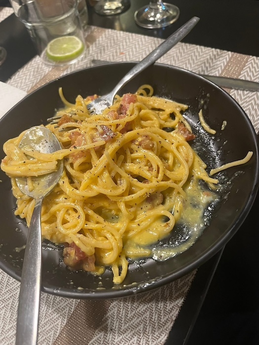
- Chiang Mai.
After dinner it was time to be a tourist in the tourist precinct.
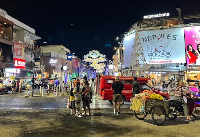
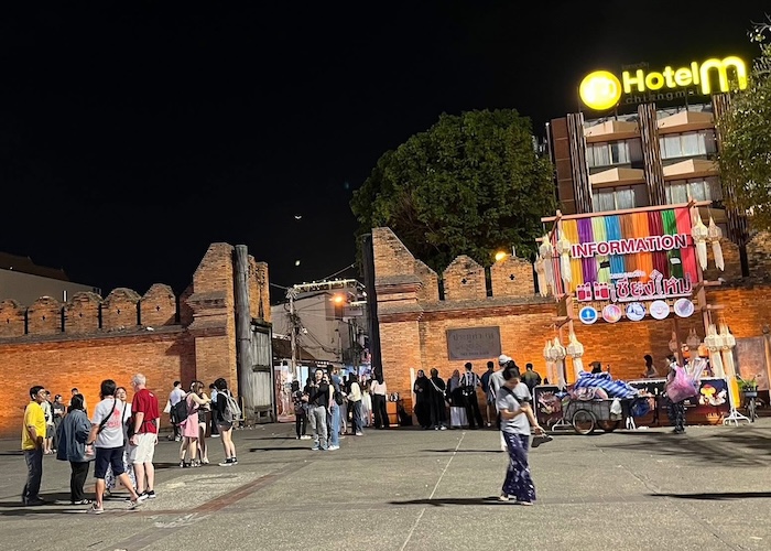
To Chiang Rai
We spent the morning in Chiang Mai before heading north to Chiang Rai, visiting hot springs on the way.
Still transitioning north.
White Temple
An early departure from our overnight accommodation allowed for an early breakfast at at one of the iconic destinations of the tour – the White Temple (Wat Khun Rung), Chiang Rai.
The White Temple is an exception to my aversion to visiting or photographing current day temples in Thailand (notwithstanding a couple of other outstanding exemplars) but my exculpatory explanation in the case of Wat Khun Rung (White Temple) is that since the construction of the ‘cave of art’ and merch hall (Ganesha Exhibition Hall) it has transmogrified into a theme park rather than a temple.
Most visitors have no idea what they are looking at – and indeed don’t really look at it. And if they do look at it, they don’t care. As long as they have their photograph taken in front of the attraction!
And it is still amusing to watch hordes of tourists have their photograph taken, unashamedly, innocently and obliviously, in front of the world’s most ornate toilet.
-
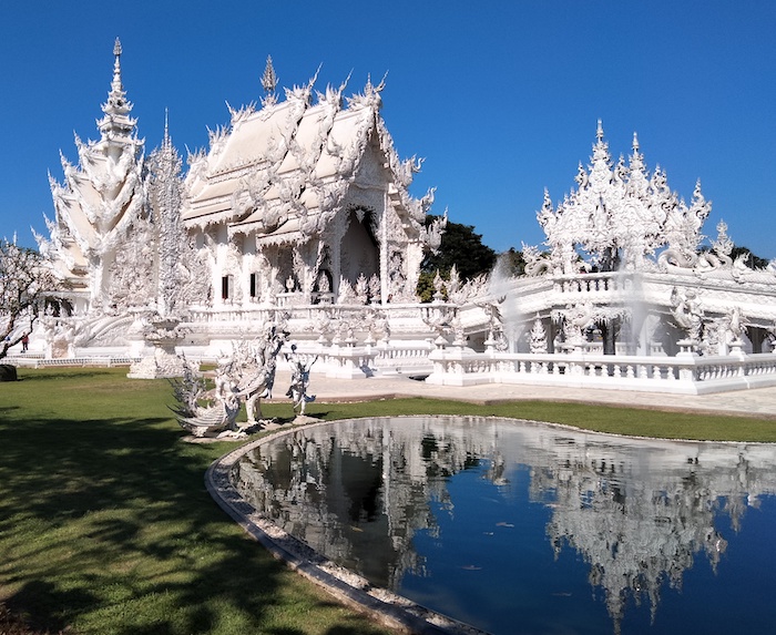
- The magnificent White Temple.
Thai Myanmar Border
We headed north out of Chiang Rai and took the Ban Pha Hee Loop (Route 1149). This Loop (one of the Iconic Roads of Thailand) leaves Highway 1 at Huai Khrai and climbs up the hills around Doi Tung following the Thai/Myanmar Border for much of its length. Route 1149 follows the Thai Myanmar border so very closely that for some of its length the line of demarcation is at the edge of road.
-
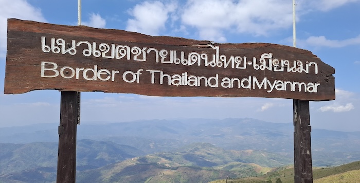
- A subject of much dispute for hundreds of years.
-
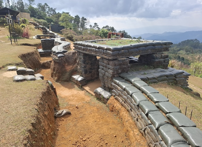
- Fortified Coffee Shop
-
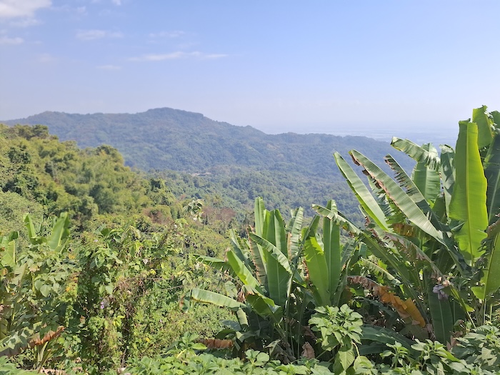
- View of Myanmar.
-
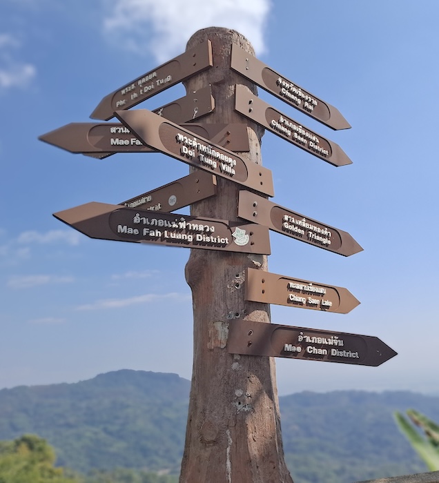
- A fingerpost.
Ban Pha Hee Mountain Village
Partway along this steep, twisting, historically important border road is Ban Pha Hee — the largest Arabica coffee growing village in Thailand
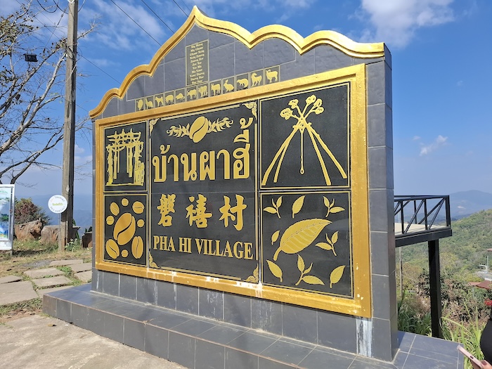
After our first taste of ‘mountain driving’ it was time to pause for a meal and take in the spectacular views. It seemed that every piece of flat/near flat/ground where the vehicle didn’t need a wheel chock was taken. Securing parking within 150 metres of the lunchtime restaurant meant it was self-selecting.
-
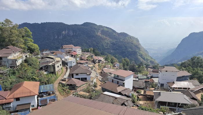
- Ban Pha Hee – centre of Thailand’s largest Arabica coffee growing area.
-
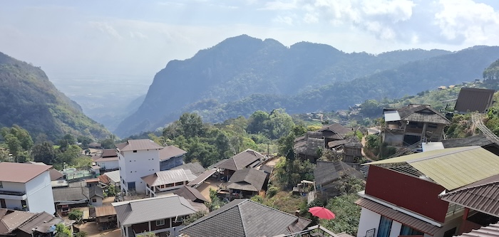
- Ban Pha Hee is nestled in the Shan Hills.
The gearbox protested on the steep descent back to Highway 1. We stopped on a track off the road, gave it a few minutes to cool down and never had any issues after that – although it is probably time for retirement!
Golden Triangle
The infamous corner of Myamar, Laos and Thailand is today (and for the past 30 years) more of a tourist attraction than a poppy growing, drug manufacturing region.
-

- Convenient structure at which to take posed photographs of your visit to the Golden Triangle.
The Golden Triangle of not too long ago was a large area in Thailand, Burma and Laos where opium cultivation thrived from the 1950s although production of this illicit crop dates back centuries. Efforts by the Thai government to improve roads, develop tourism, and encourage alternative crops gradually got on top of the problem and by the 1990s opium production was effectively thwarted (in Thailand anyway) and the Golden Triangle is now only a legend used to spice up tourist brochures.
On the Other Side of the River
The tourist development at Ban Sop Ruak around the Golden Triangle marker (markets, restaurants and homestays) is minuscule in comparison to what is occurring on the opposite side of the river in Laos. It is impossible not to notice the Laotian ‘Sin City’ – the Golden Triangle Special Economic Zone, created in 2007 by the Lao government together with the Chinese company Kings Romans Group to ‘generate economic development’.
-

- Construction work in the Golden Triangle SEZ has been booming since 2007.
The Golden Triangle Special Economic Zone was created in 2007 by the Lao government together with the Chinese company Kings Romans Group to ‘generate economic development’. It quickly gained a reputation of being a Chinese enclave rife with illegal activities such as human trafficking/slavery, child prostitution, drug trafficking and wildlife trafficking.
Interesting to look at though.
Ancient Chiang Saen
We headed back to Chaeng Saen, away from the Ban Sop Ruak tourist trap to find accommodation and somewhere to eat.
-
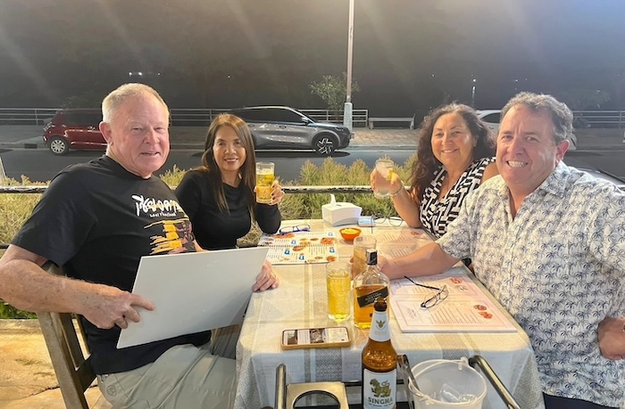
- Not quite overlooking the Mekong River but as close as one can get in Chiang Saen. The lights in the background are in Laos.
Chiang Saen on the Mekong River is an ancient city dating back to 1327 and possibly earlier.
Frans Betgem has written extensively on the ruins of Chiang Saen and his work is well worth a read. His assertion that Chiang Saen Old Walled City should have World Heritage status has merit.
-
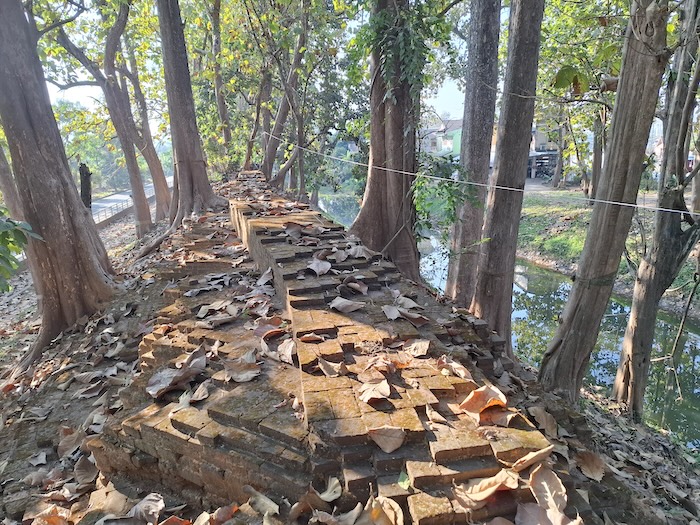
- Chiang Saen was a walled city, however, little remains today.
The Chiang Saen National Museum is only a short distance away from the Golden Triangle.
Ancient ruins are scattered throughout Chiang Saen – most within the city wall although there are some outside. The whole panoply of sites is intermixed with modern day houses, shops and workplaces. An interesting juxtaposition of the old and the new to say the least!
-
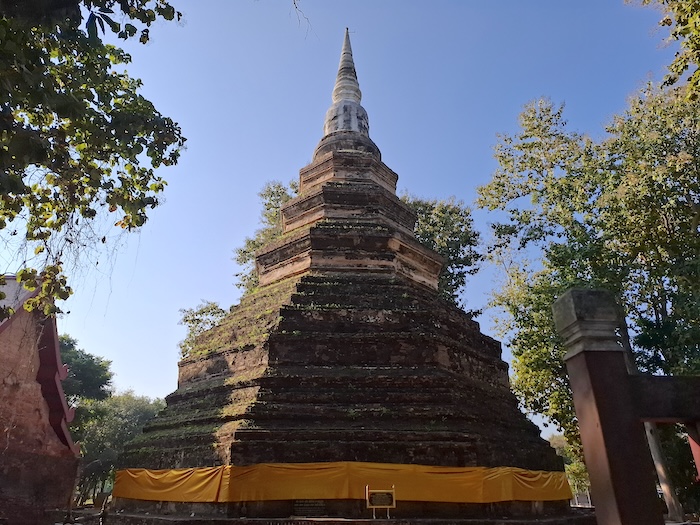
- Chedi Luang in Chiang Saen was built in 1344.
Chedi Luang is a bell-shaped stupa on an octagonal base in Chiang Saen city. It was built in 1344 by the King of the Mang Rai Dynasty, reputedly to contain a piece of the sternum of Buddha. The stupa rebuilt in 1515 A.D. It was damaged after a 6.3 magnitude earthquake in 2014 and restored with funds raised by public appeal.
The network of ancient ruins at Chiang Saen is championed to be a World Heritage Site.
Leaving Chiang Saen
Skywalk
The new Chiang Saen Skywalk that overlooks the mighty Mekong River is a ‘must see’ and an experience of coordinated and cooperative local commerce. Tourists could drive to the Skywalk but ‘the rules’ mean that we have to pile in to a local songthaew taxi/bus – for a fee. The name of the taxi/bus (literal meaning of songthaew is “two rows”) is derived from the two bench seats installed along either side of the covered ute bed.
Chiang Khong
The journey from Chiang Saen is alongside the Mekong River to Chiang Khong – an important border crossing point. Chiang Khong is the site of the Fourth Thai-Lao Friendship Bridge that replaced the former ferry service in 2013.
Here starts the journey through the mountains. The next few days is full of magnificent mountains, spectacular viewpoints, intriguing villages, fruit stops, surprise cultural happenings, and great driving.
South through the Luang Prabang Range (it extends north well into Laos). Route 1148 (the Sky Road) is often touted as the best ride/drive in Thailand. It takes us to AH13 – a major highway through the mountains.
Our aspirational overnight stop is at a mountain resort in Tha Wang Pha, however, that will depend on terrain, traffic and touristy stops.
The morning drive is east to the Floating Highway (Route 1081). We will do about about half of this iconic drive, including two iconic ‘number curves’.
The I Love U Curve
This popular curve has a carpark and dedicated locations from which to take photographs.
-

- The ‘I Love U’ curve on Route 1081, Santi Suk, Nan Province.
Number 3 Curve
The Number 3 Curve is probably the most famous of the Number Shaped Curves.
-
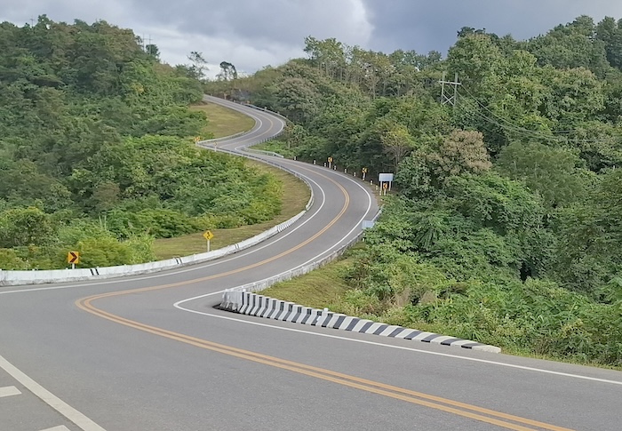
- Road Curve Number 3 on Route 1081 in Santi Suk, Nan Province.
Not long after Number 3 we left the Floating Highway and turned onto iconic Route 1257 and complete a near full circle through Santi Suk on the way to Nan.
Nan
The city of Nan is the focal point of adventure travel (mainly motorcycle tours) in this region.
South of Nan we encounter the Sao Din (literally “Soil Pole”) Sand Pillars. Not quite The Pinnacles of Western Australia but worth a visit.
-

- Sao Din sand pillars.
Pak Nai Fishing Village
Pak Nai Fishing Village is on an upper arm of the Sirikit Dam Reservoir. Without the ferry that crosses this upper arm Pak Nai would be a dead end, requiring a 230 kilometre detour around the reservoir.

- Pak Nai Fishing Village
Ferry across Sirikit Dam Reservoir
An interesting 12 minute ferry ride over an upper arm of the Sirikit Dam Reservoir, leaving from Pak Nai. The ‘on’ and ‘off’ procedure for vehicles is fairly rudimentary but it works okay.. Depending on the water level and the wind direction the landing place may vary. It all adds to the experience!
Nam Pat
It is then an easy run to Nam Pat and a move out of the mountains for a while. Nam Pat is a small administrative centre in the north of Uttaradit Province
We Tackle Some More Mountain Country
The mountainous country continues after leaving Nam Pat. We’ll stop at the famous ‘Number 9’ a road bend so tight that, when seen from the adjacent Viewpoint, forms the shape of the numeral 9.
-

- An amazing piece of road engineering switches back on itself to form the shape of the numeral 9. See this on Route 2113, Na Haeo, Loei Province.
The community of Den Sai is an important regional focal point. We will divert a short distance south-east to an iconic Viewpoint and then return to Den Sai.
Homeward Run
Phu Pha Man Bats
Nam Phong National Park
We diverted off Highway 12 to the Hin Chang See Viewpoint in Nam Phong National Park. The Viewpoint overlooks Ubolratana Reservoir, the largest in Isaan.
Construction of this huge reservoir – it covers an area about the size of Jamaica – created numerous industries including fishing, tourism, transport and electricity generation. And then in 2024, a 24 MW floating solar array of 48,000 panels was installed for daytime power generation, reserving the hydropower for nighttime. Its construction and operation has made it an extremely important part of the daily life of Isaan.
The water that flows out of the reservoir eventually flows into the Mekong River.
Khon Kaen
The Best of Thailand Road Road Trip was from 20-28 January 2026.
© Kim Epton 2026
2813 words written entirely by the author, not AI.
yy photographs, one images.
You are welcome to use any part of this document. Please attribute adventures.net.au — it will help your site’s SEO as well as that of adventures.net.au
See Terms of Use.