
This October 2025 trip was intended to travel the full GLT, however, I was unconcerned if we didn’t complete the section from Wangine to Goongarrie and, as the weather unfolded, it was fortunate we didn’t attempt it.
We first tackled the GLT in 2020 and then again very soon after on our Gus Luck Track Reprise. Another trip in 2023 concentrated on sorting connecting or ‘liaison’ tracks. In June 2025 I travelled through Wangine on the Bullabulling Wallaroo Wangine Goongarrie Road Trip.
To Mindebooka
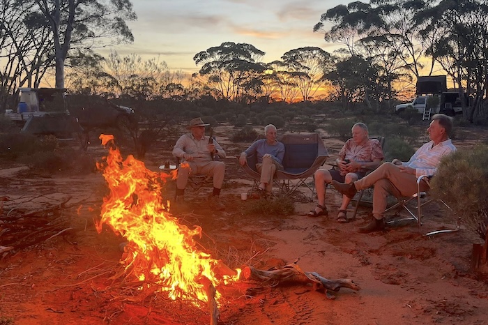
Mindebooka Hill was our ‘get out of town’ location on Thursday afternoon/evening.
-
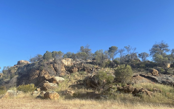
- Mindebooka Hill.
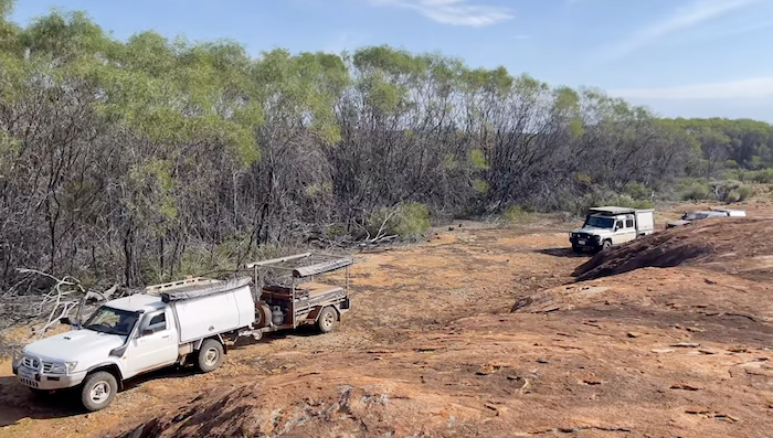
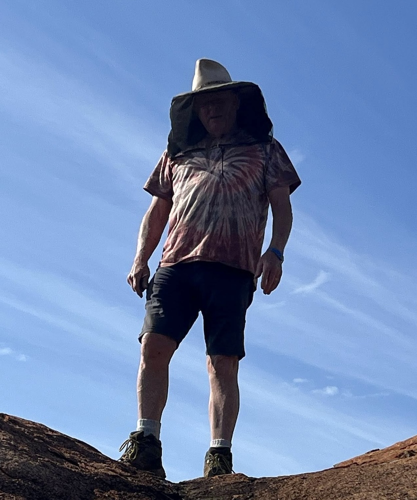
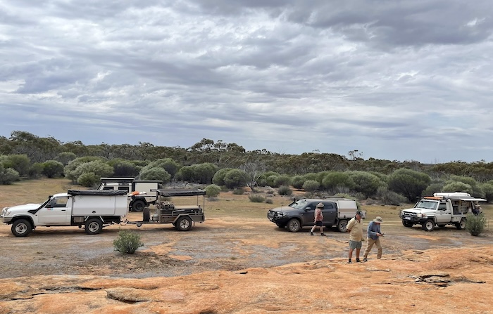
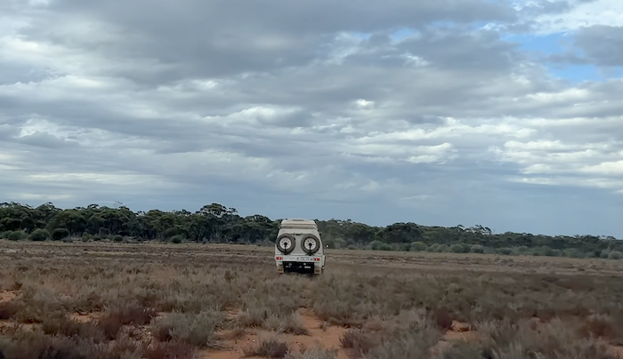
Dave was driving a near new Ineos Grenadier Quartermaster, Greg was in a Mazda BT50, Keith had a Toyota Landcruiser with canopy, Kim and Tassy were in Nissan Patrol with canopy and trailer.
-
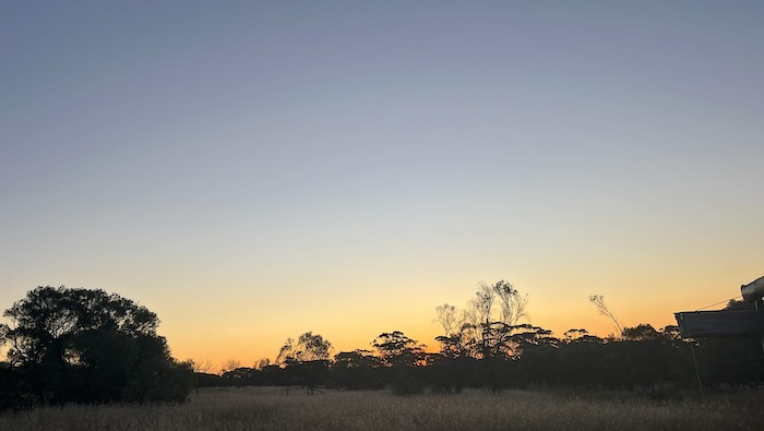
- Sunset at Mindebooka.
-
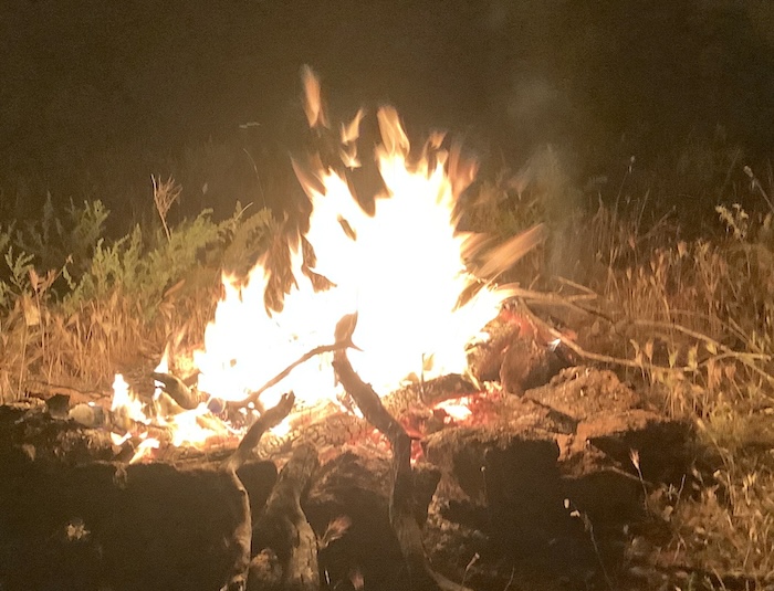
- Campfire at Mindebooka.
We left Mindebooka Hill early on Friday morning, heading to Totadgin Well on the way to Merredin.
-
- Totagin Well October 2025.
-
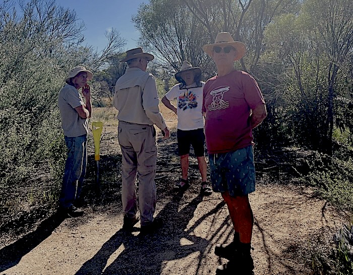
- Greg, Keith, Kim and Dave at Totadgin.
Our route from Totadgin was via a dirt track along the railway (not the railway service track). This dirt track is actually a section of the 600 kilometre Hunt Track that runs from York to the Hampton Plains.
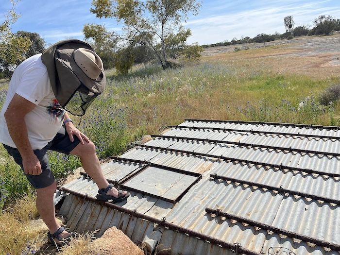
-
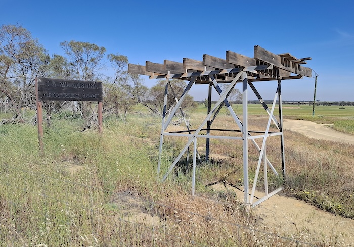
- Disused tank stand at ‘Crocodile Creek’ just outside Merredin.
We arrived in Merredin where a visit to the Merredin French Hot Bread is virtually mandatory. And lots of other travellers/tourists agree. Locals, too.
Rather than jostle with trucks, caravans, roadworks and other stresses on the woefully degraded Route 94 Great Eastern Highway we elected to continue our eastward trip on Goldfields Road.
-
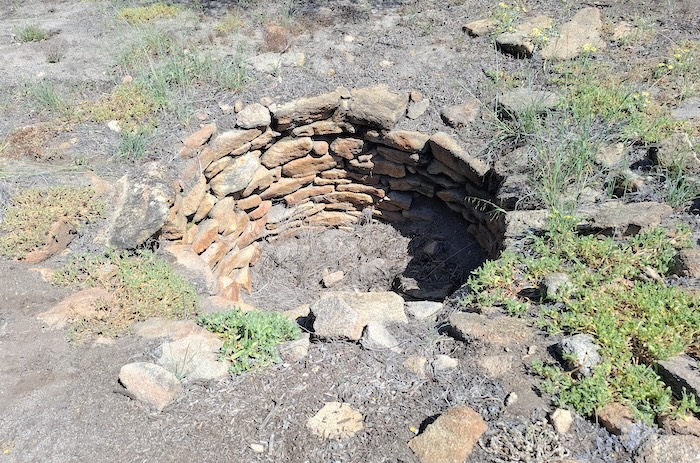
- Burracoppin Well October 2025.
Along the way we stopped at Hunt’s Burracoppin Well, last refurbished in 2021. Just a short distance east of the well is an Interpretive Site for the historic Rabbit Proof Fence.
-
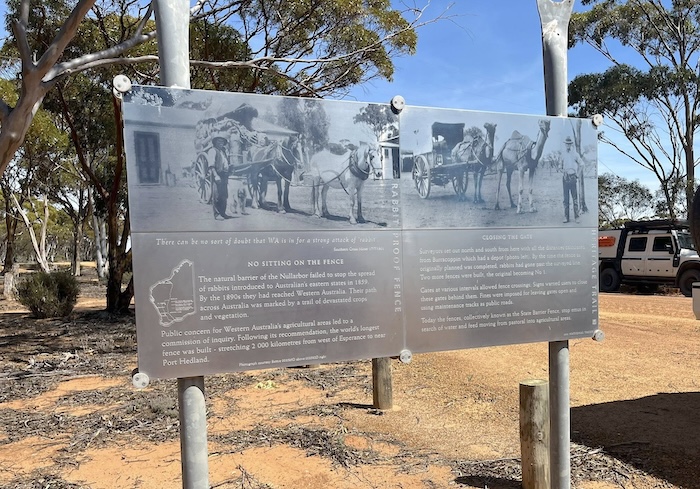
- Information sign at the Burracoppin Rabbit Proof Fence Interpretive Site.
Unfortunately, Goldfields Road terminates at Carrabin and it’s then back to Route 94 .
Southern Cross was our last opportunity to refuel before Coolgardie on Monday.
-
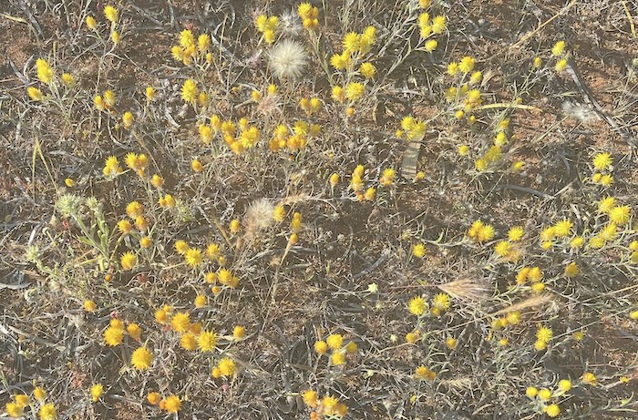
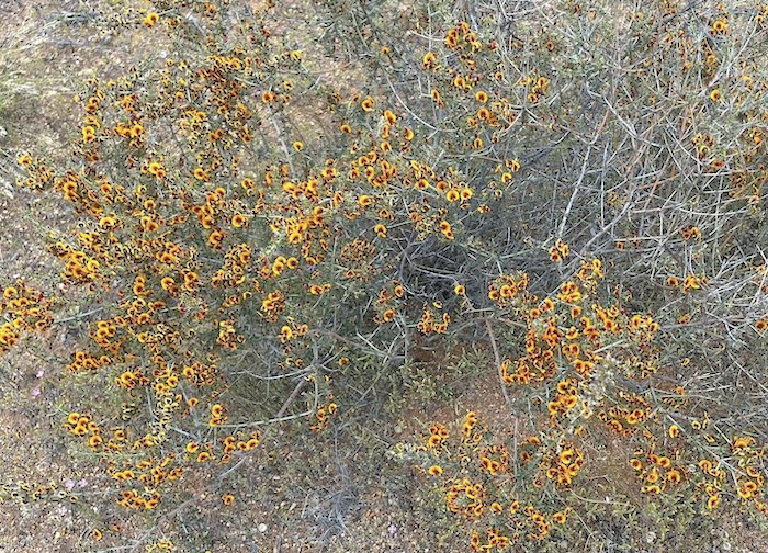
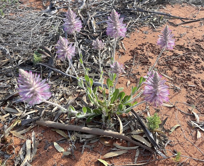
- Yellow cottonheads.
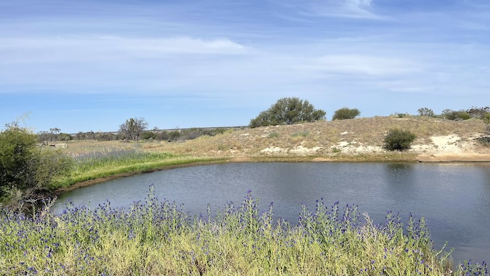
A slight detour into Yellowdine Rock Water Catchment was an ideal spot for lunch.
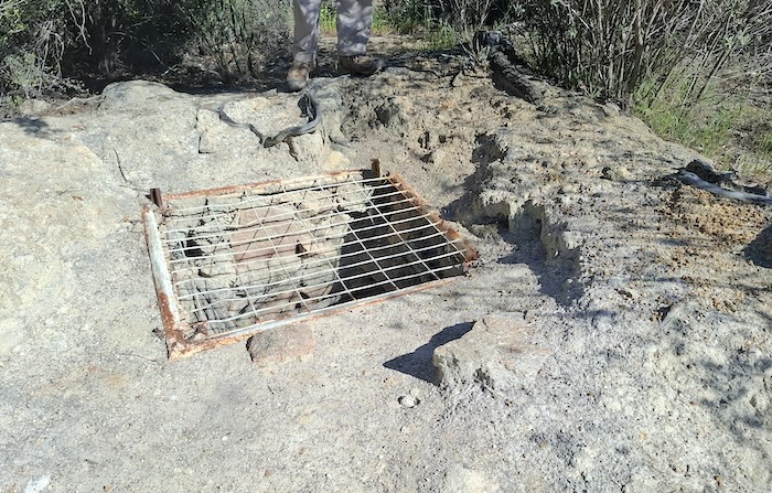
After lunch we headed north on the all-weather road that runs to Koolyanobbing. Just short of our turnoff from Koolyanobbing Road onto the GLT is Duladgin Well – in desperate need of refurbishment.
For the informed there is a pathway from Duladgin Well to the grave of pioneer Thomas Davidson. The wry observation was made that, because of its location, the grave of a ‘troubled individual’ (he shot himself with a pistol) was visited way more than the graves of many other pioneers.
The journey continued along a sandy track at the bottom of Lake Seabrook. I elected not to stop at Weowanie, instead continuing through to the Barrier Fence. Passing through the gate we drove north to Eva Lake – apprehensive about the crossing. On arrival there was barely any water over the track.
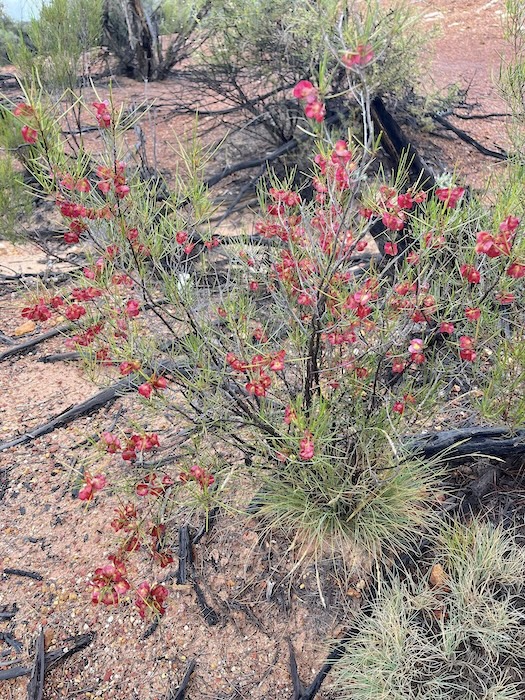
The country is only just stating to come back from the devastating 2019 fires.
-
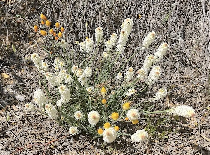
- Lamb’s tails.
Darrine
The first of the wells encountered on the GLT is at Darrine.
-
- Kim at Darrine Rockhole.
-
- Goods rains had filled the Darrine – a vital resource when Juardi was operational as a pastoral station.
At the Trans Line the dirt track parallels the railway east for just under two kilometres before turning left at the crossing. Over the line the track continues east for about 200 metres before veering away to the north-east to an interesting Kurrajong tree.
Blazed Kurrajong Tree
Desert Kurrajongs have leaves that are generally brighter green than surrounding vegetation, making them stand out.
While this tree, about six kilometres before/after the railway depending on direction of travel, is easy to spot it is difficult to discern what has been blazed into its trunk.
-
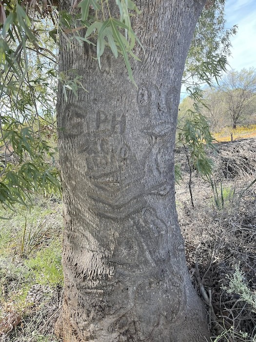
- Blazed Kurrajong tree.
And who made the cuts? And when?
-
- Ullamby Soak
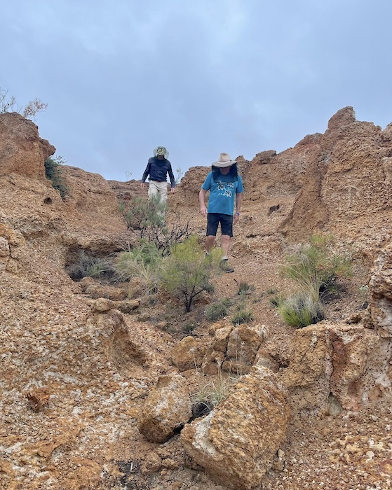
Ullamby is the next waterhole after the Kurrajong tree, followed by number of points of interest at Ives Rock, Wallangie.
Wallangie
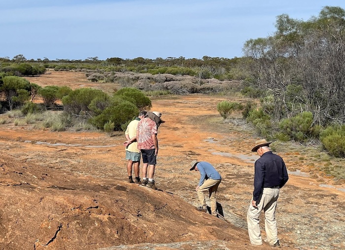
There are no good campsites at Ives Rock/Wallangie so we pushed on. Being in the Great Western Woodlands we came upon a great campsite only a short distance along the track.
-
- Relaxing at Wallangie.
Wallangie to Wangine
The turnoff to 71 Mile Rock and Well is unmarked. The track into the rock is tight and overgrown.
-
- At 71 Mile Rock.
-
- Dave, Kim, Greg and Keith at 71 Mile Rock.
-
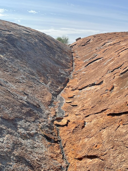
- A very obvious example of water erosion over untold years.
-
- The well at 71 Mile Rock.
-
- Kim at 71 Mile Rock.
The driveable track deviates from the Historical Track at the 71 Mile Rock turnoff and rejoins it two kilometres before the Mt Walton Access Road crossing.
Urdardanging
This was often confused with Turturdine. Urdardanging was also known as Dookie Rock.
-
- Mulla mulla.
-
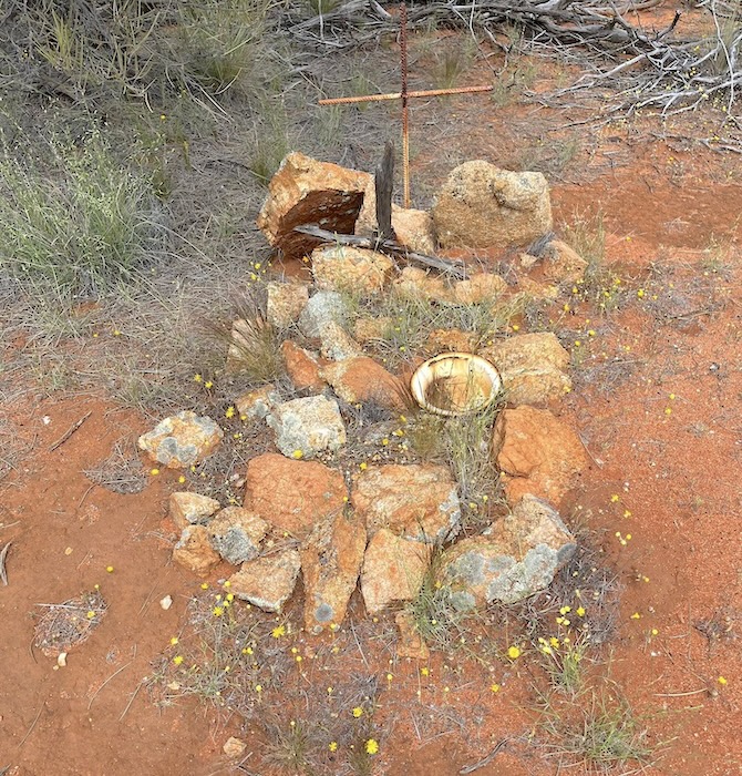
- Dog grave at Urdardanding.
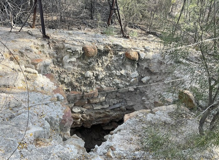
Turturdine Rockhole
-
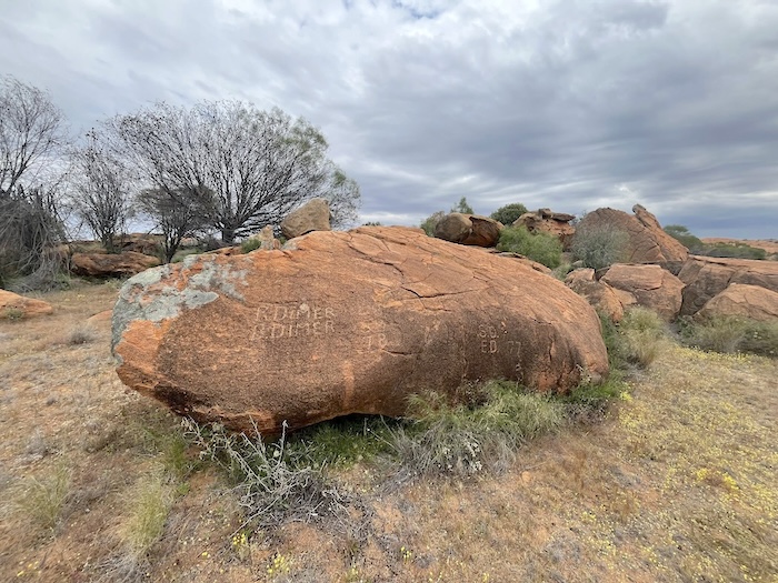
- Dimer etchings at Turturdine.
-

- Covered soak at Turturdine.
-
- Sightseeing break at Turturdine.
-
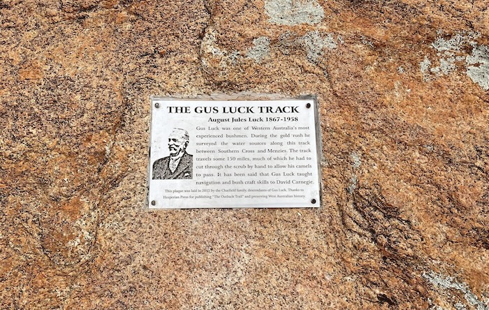
- Commemorative plaque installed by Gus Luck’s descendants.
Coonmine (aka Frost Soak)
From Coonmine Waterhole it is currently not possible to follow the historical GLT to Wangine. We took ‘liaison’ routes and arrived at Wangine Lookout on Davyhurst Road at the top of the Breakaway.
-
- Viw of Wangine Breakaway from the Davyhurst Road Lookout.
Wangine
Although it would have been satisfying to extend the trip to Goongarrie our focus once arrived at Wangine was to sort out the array of tracks around the soak. Did Gus Luck route his track around Wangine Lake to the south or to the north when it was wet? Where was his shortcut through the middle? Where was his track up the Breakaway?
The track around the north of the lake was located on the Bullabulling Wallaroo Wangine Goongarrie Road Trip and locating the track around the lake to the south is for another time. It is well defined on current day maps.
-
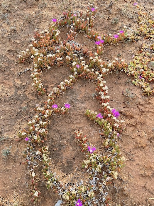
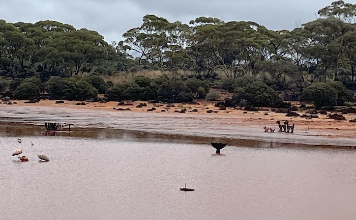
- An interesting arrangement of wildflowers on Lake Wangine.
There was plenty of daylight left to find a way across Wangine Lake to Lower Goongarrie Track.
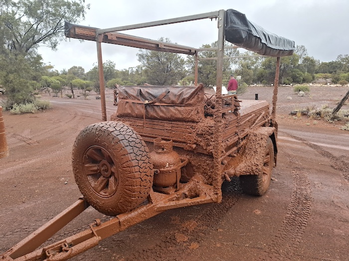
The trailer was secured (a relative term) and left at our Wangine campsite.
-
- Keith found the track across Lake Wangine.
We headed to the dry lake/claypan. It didn’t take long before Keith spied some wheel tracks heading in the right direction across the lake. Confirmation that this was most likely the track was made when we looked for, and found, the reciprocal cutting the track we had been on and intersecting with the track leading towards Wangine Soak.
-
- Storm clouds gather over Wangine.
Getting across the lake was the easy part. We spent some time on foot attempting to find a path through to the Pipeline Track. The sun was racing towards the horizon (apologies to Copernicus) and I decided to continue the search the next morning.
Camp at Wangine Breakaway
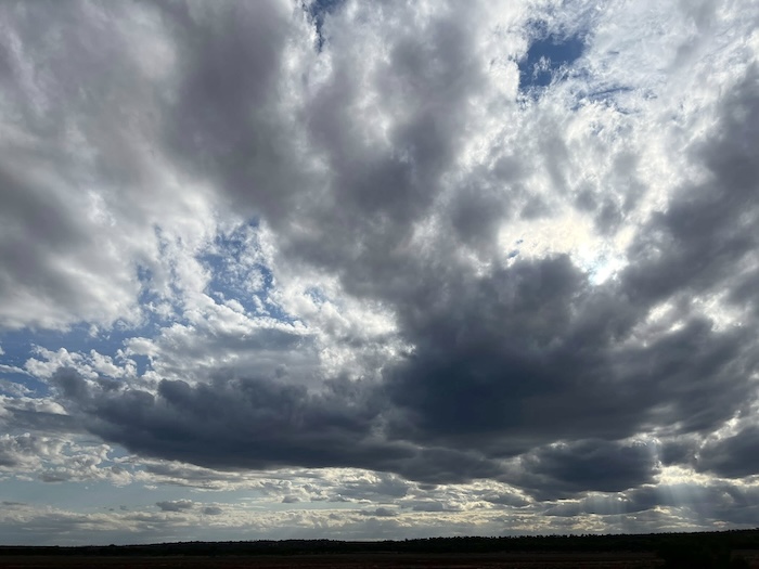
Rain, persistent without being too heavy, started early and continued overnight.
Wangine to Coolgardie
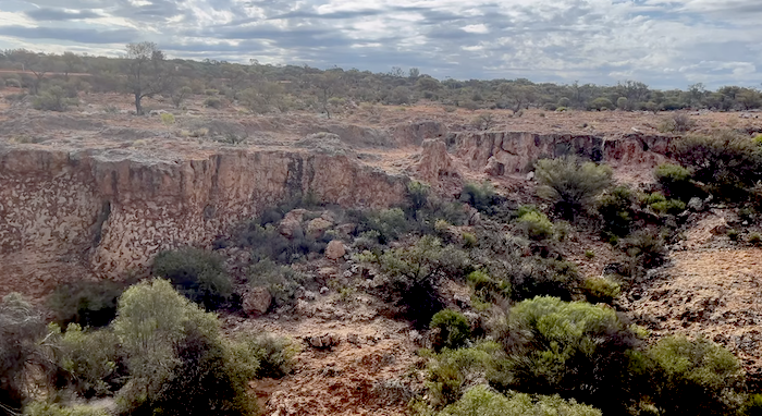
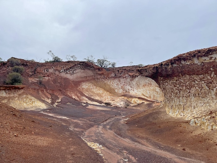
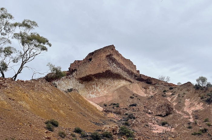
A convenient break in the rain allowed for an early morning walk through the Breakaway and a climb up to the top to see the ‘Mini Bungle Bungles’.
-
- Wangine Breakaway.
-
- Keith and Kim make their way down from the top of the Breakaway.
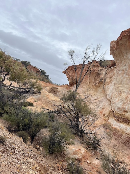
Breakaways are feature of the Great Western Woodlands and Wangine is one of the most spectacular.
-
- Wangine Breakaway.
-
- Wangine Breakaway.
We left Wangine south-east on the Davyhurst-Ora Banda Road and then turned north on the Pipeline Track. The surface of Davyhurst Road was thick with slippery mud. The absence of haul trucks was noticeable.
-
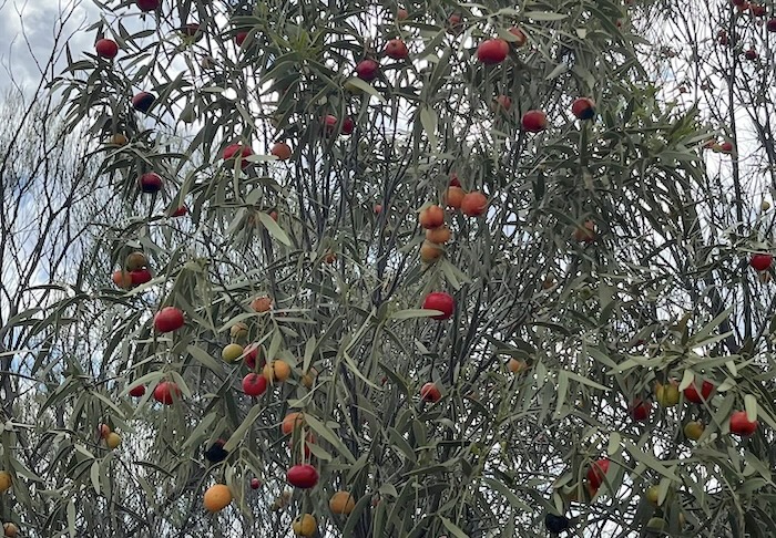
- Quandongs
After locating the point where the historical track crosses the Pipeline Track we found the track through to the point on the eastern edge of the Wangine Lake that we had reached late yesterday. Another few kilometres of the GLT determined!
The rain was increasing and it was time to head south. Time to get out of here before we couldn’t!
The accessible length of the Gus Luck Track is gradually being extended – possibly to its maximum extent, certainly for the foreseeable future.
The Davyhurst-Ora Banda was extremely slippery and to stay pointing the correct way needed diligent attention. I commented over the radio that the road would soon be closed. We had no choice but to continue south.
We stopped at Siberia cemetery where Outback Grave Markers have done a good job marking most of the pioneer graves. While at the cemetery I saw a permanent sign with an indicator advising the Davyhurst Road was closed north of Siberia – something of which we became aware only after arrival at the cemetery.
-
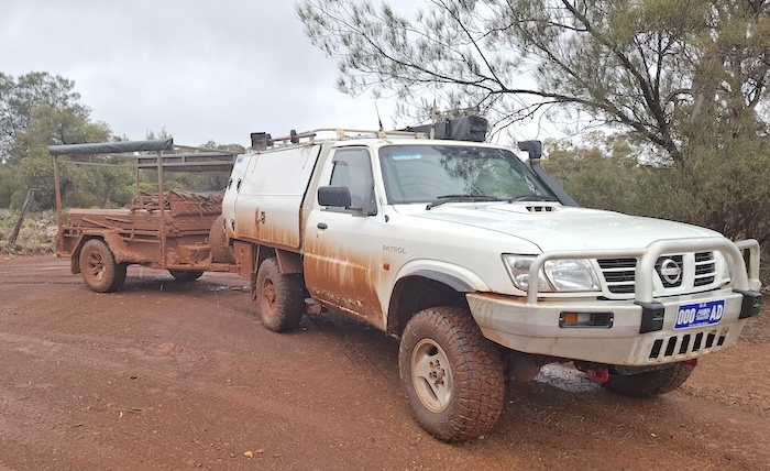
- Kim’s Patrol with trailer at Siberia.
-
- Took a while to clean after arrival at Coolgardie.
The trip continued to Coolgardie via Ora Banda, Carbine, and Kunanalling.
-
- Heading south on Coolgardie North Road.
-
- Quirky art in a flooded claypan. Animal figures made from gum boots.
-
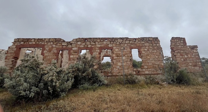
- Remains of the Premier Hotel at Kunanalling.
Return From Coolgardie
With the drenching rain extending well more than 24 hours the Road Trip essentially finished at Coolgardie. Plans to travel a section of Hunt Track between Gnarlbine and Yerdanie were abandoned. Travel anywhere off a sealed road would be foolhardy. Similarly, the idea to travel the Karalee to Yellowdine track was a no go.
With those strictures came the opportunity to travel the full length of the Old Beverley Road. Other sealed, high speed roads have overtaken the importance of Old Beverley Road as a transport artery, however, its historical significance remains undiminished.
Go to Navigate Gus Luck Track.
Read about Gus Luck
One of Hesperian Press’s most popular books.
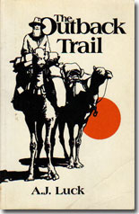
ISBN 978-0-85905-836-0, (Reprinted 2022), A4, 130pp, illustrated, 400 grams, Soft Cover, $35.00 + Postage
Gus Luck was one of Western Australia’s most experienced bushmen when he met David Carnegie, who later wrote the classic Spinifex and Sand.
He taught Carnegie his bushmanship and in The Outback Trail he writes of his life and experiences in the bush, camels, natives, prospecting, people, and more, in a fascinating story of the 1880s to 1930s.
© Kim Epton 2025
1664 words, 43 photographs, zz images.
Photographs
Tassy Epton
Kim Epton
Feel free to use any part of this document but please do the right thing and give attribution to adventures.net.au. It will enhance the SEO of your website/blog and Adventures.
See Terms of Use.