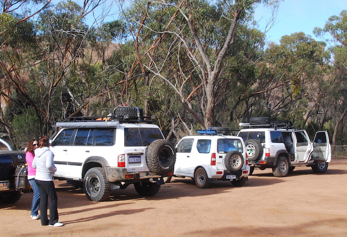
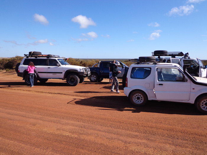
Six people in four vehicles left Perth on Thursday evening 28 March 2013 (easter) intending to drive to Hyden to see Round 1 of the Australian Off Road Championships. We would then head east to Norseman, drive out along the Eyre Highway to nearly Caiguna where we head south towards Toolinna Cove on the coast. From there we intended to follow the Baxter Cliffs west to the Wylie Scarp and descend to the beach and the Bilbunya Dunes. If the tides were right we would drive 50 kilometres along the the beach to Wattle Camp and then follow a series of claypans into Israelite Bay before heading to Esperance and home.
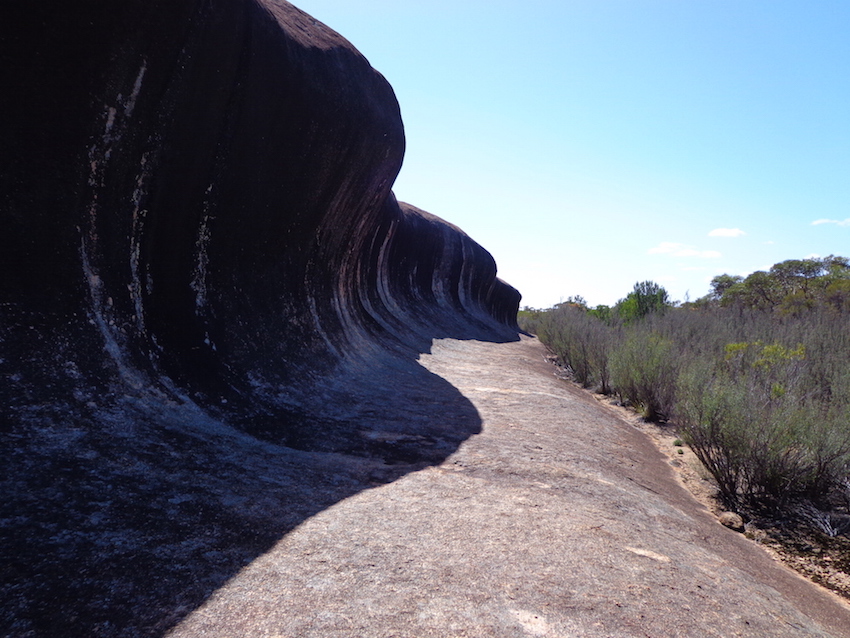
We got away on time and camped the night at Smithy’s Place, North Hyden. After watching a couple of hours of Off Road Racing action the next morning we visited Wave Rock and Hippos Yawn and then took the Hyden Norseman Road east.
-
- Dee and Lauren at Hippos Yawn carpark.
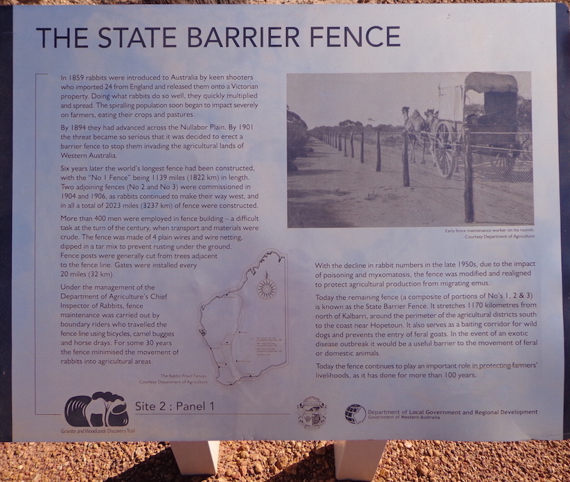
State Barrier Fence
We stopped at the State Barrier Fence, the line that delineates farming land to the west and bushland to the east.
Previously known as the Rabbit Proof Fence, the State Vermin Fence and the Emu Fence, it has undergone many transformations in its lifetime, keeping rabbits, wild dogs, emus, kangaroos and other feral animals away from agricultural and pastoral areas. It coincides with the line of rainfall required for successful farming. The land to the west, except for reserves, has been taken up by farmers. The land to the east is known as the Great Western Woodlands, the largest temperate woodlands on the planet. Unlike most of Australia’s land area it is dominated by eucalypts rather than acacias.
-

- Barrier Fence at the Hyden Norseman Road.
-
- At the Barrier Fence.
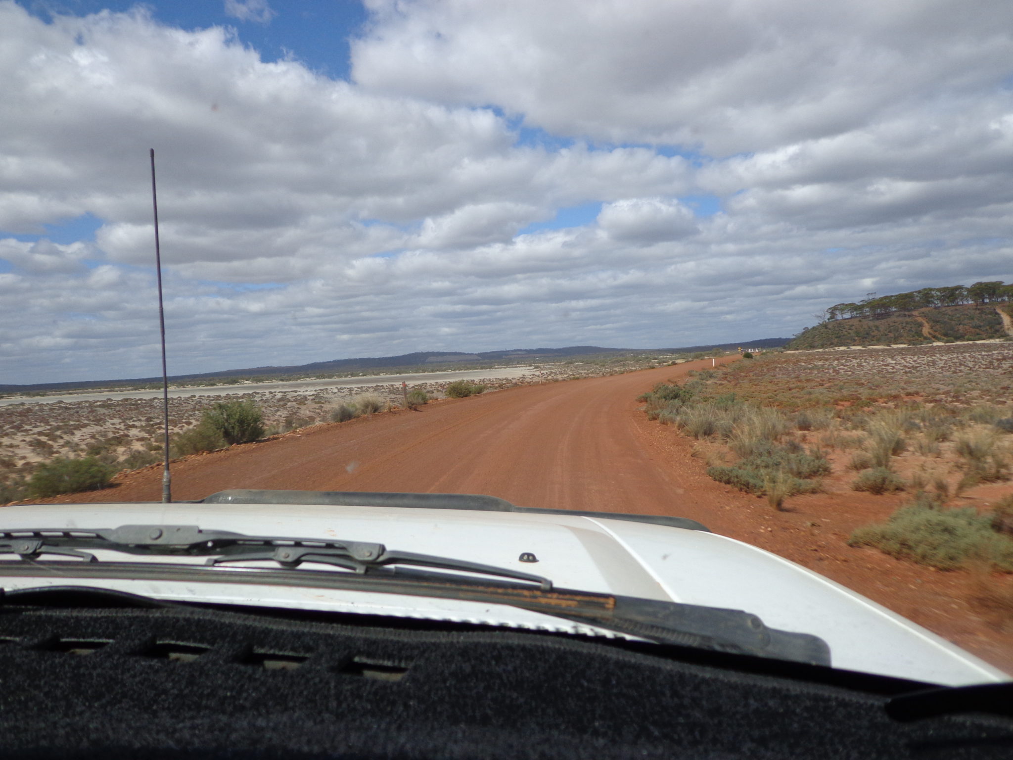
McDermid Rock
The next stop was at the remarkable McDermid Rock, one of the numerous granite rock outcrops (inselbergs or monadnocks) that act as island sanctuaries for a whole range of wildlife in this remote, low rainfall area. These granite outcrops catch and direct precious rain water that, in earlier times, was so precious for explorers and prospectors. The outcrops were also a vital beacon that provided a means of navigation through the dense thickets of tamma.
-

- On the Hyden Norseman Road. *
-
- McDermid Rock.
Lake Johnson
A few kilometres further on we stopped at the Lake Johnston viewpoint.
-

- Lake Johnston.
Lake Cowan
Our convoy drove across Lake Cowan into Norseman, refuelled and headed out on the Eyre Highway. Everyone was travelling well so we pushed ahead.
-
- Crossing Lake Cowan near Norseman. *
-
- Crossing Lake Cowan. *
90 Mile Straight
We stopped for photographs at the 90 Mile Straight. The section of Eyre Highway between Balladonia and Caiguna is the longest straight stretch of road in Australia, and possibly the world. The road stretches for 145.6 kilometres (90.5 miles) without a deviation and is signposted as the ’90 Mile Straight’.
-
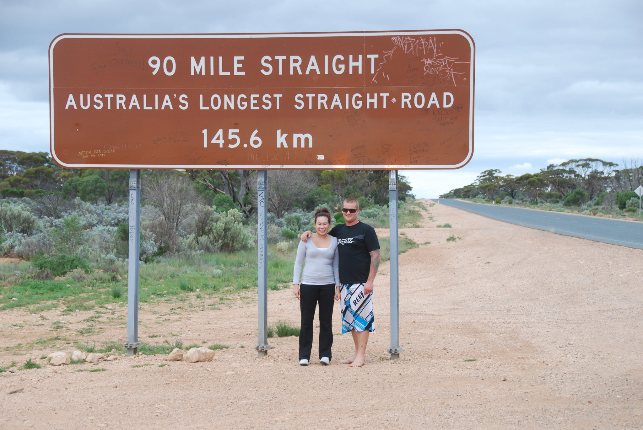
- Lauren and Paul.
Toolinna Cove
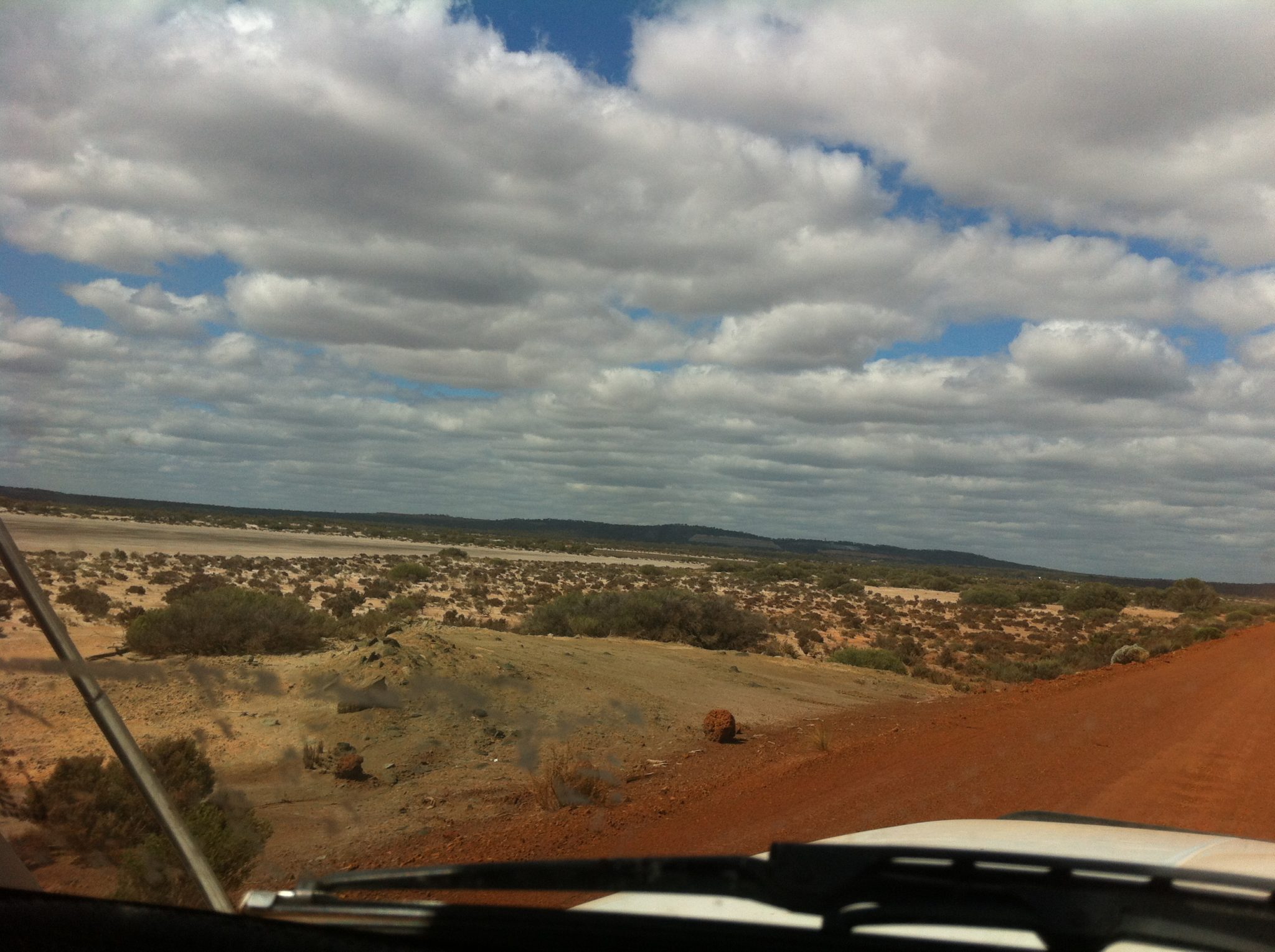
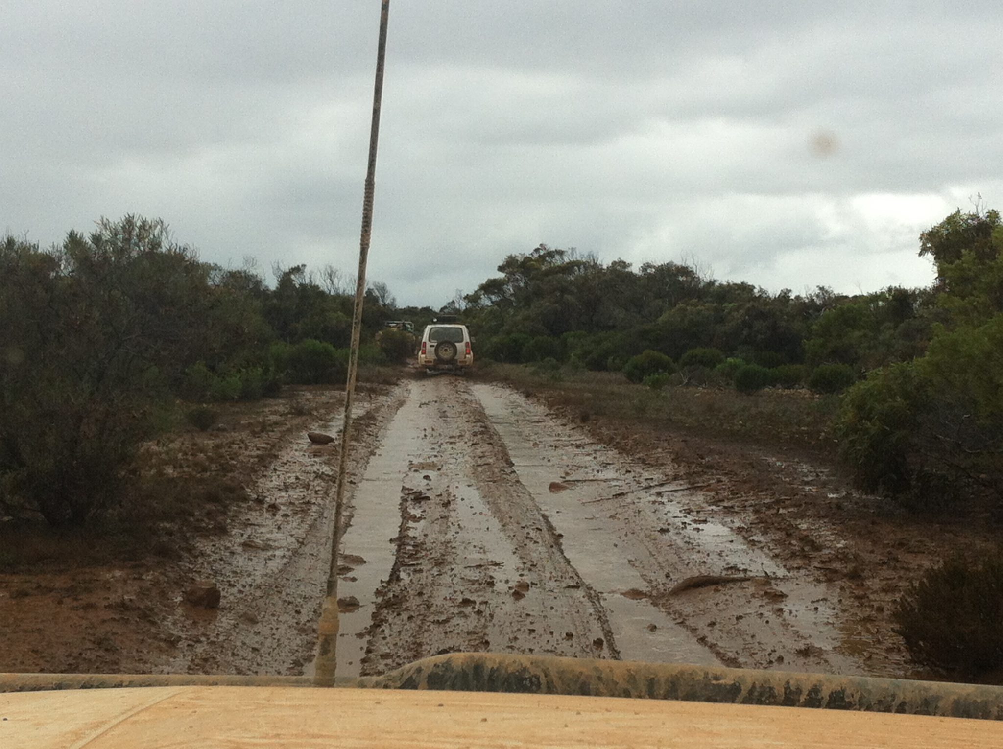
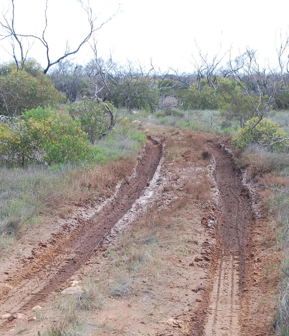
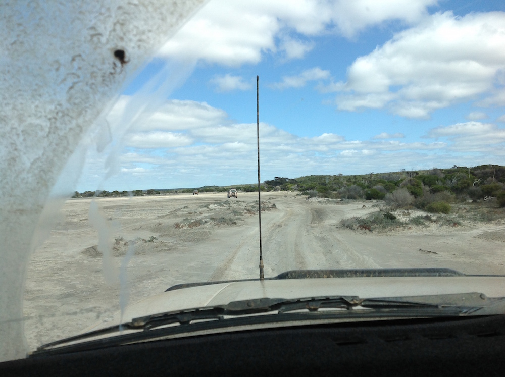
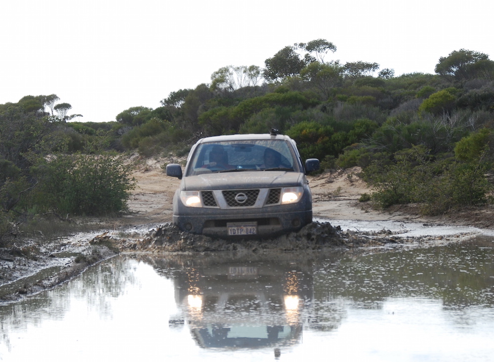
We turned off Eyre Highway late in the afternoon 200 metres past a parking bay at 32°23’36.71″S 124°28’28.97″E and headed south on the Toolinna Cove track. There had been rain in the area and there was water over the track in numerous places. In this country it takes only light rain to make tracks impassable.
-

- Bore.
-
- Paul and Lauren in the Navara at the bore.
-

- Near the bore.
At our latitude, 94 kilometres of eastward travel equates to four minutes of solar time, meaning that at our location 800 kilometres east of Perth (straight line) the sun sets 34 minutes earlier than in Perth. Aah, that’s why it’s dark at 5.30 p.m.! More information here.
-

- Late afternoon. *
-

- On the way to Toolinna Cove.
-

- Looking for a campsite. *
-

- Crossing vacant crown land early evening. *
As the light was fading I was frantically searching for a campsite. Each likely stand of trees disappointed as the track deviated away from it. Finally, just on dark I found a track leading off the main track to a promising stand of trees. We had found our campsite for the night.
The crew wasted no time in setting up camp and getting dinner underway. It had been a 700+ kilometre day. The rain that had fallen in the late afternoon had cleared by the time we made camp.
-
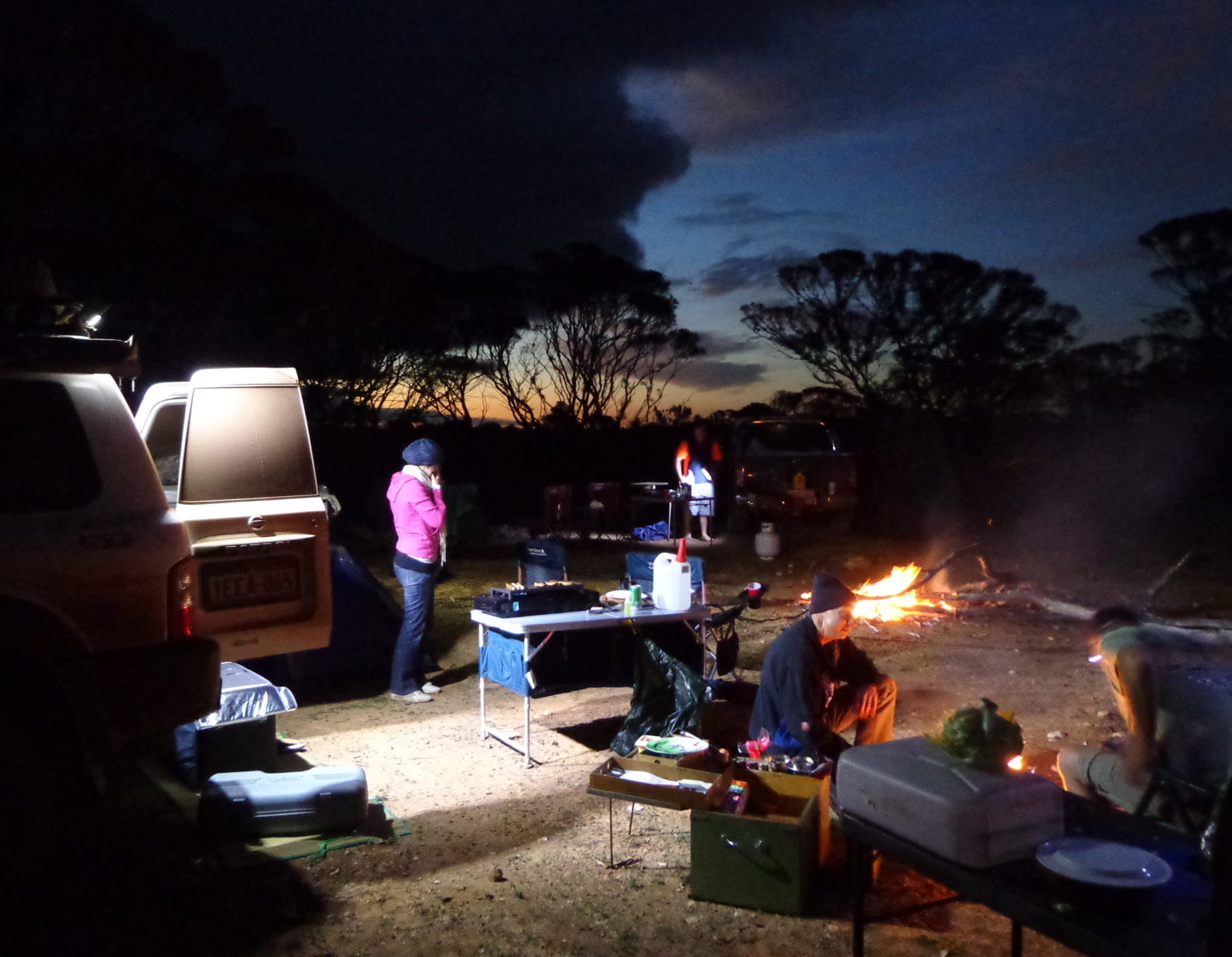
- First campsite
Some hours later we saw headlights searching through the darkness of the Nullarbor night. Soon the sound of a labouring engine could be heard. The noise eventually diminished and the lights disappeared. A solitary mystery vehicle passing in the night.
The next morning dawned clear and the threat of rain had disappeared.
-

- Greg at breakfast.
-

- Kim’s swag camp.
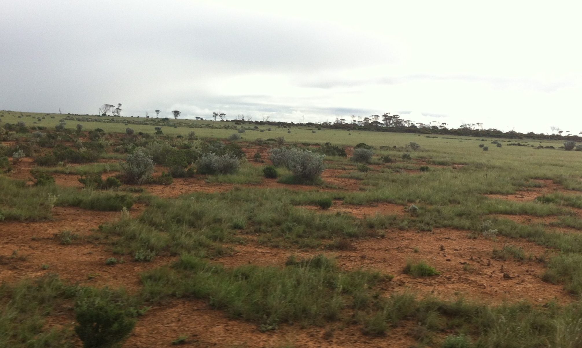
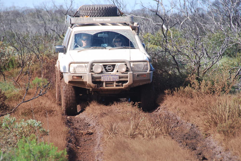
It was about 30 kilometres to Toolinna Cove. The previous day’s rain had left water on the track and it was pretty slippery.
-
- Heading to Toolinna Cove. *
-
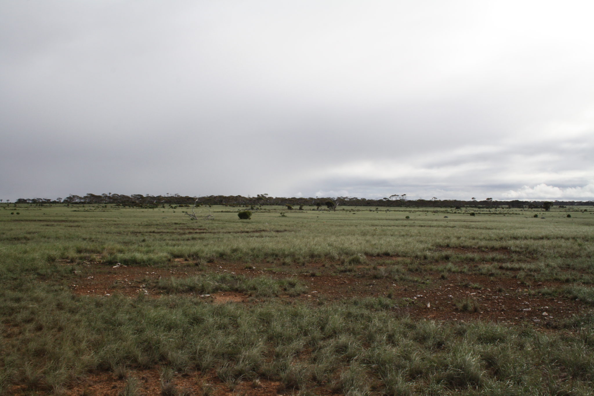
- Open plain. *
-

- Vacant crown land. *
-
- Getting close to the Nuytsland Nature Reserve. *
-
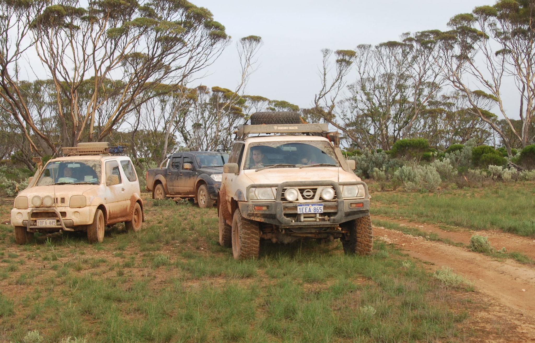
- Greg’s Jimny, Paul’s Navara and Dan’s Patrol.
-

- Remains of a water tank.
-

- Kim’s Patrol and Paul’s Navara at tank.
-

- Kim’s Patrol.
-

- One half of our national emblem
-

- hopping away.
-

- Eight kilometres from Toolinna Cove
-

- to the coast.
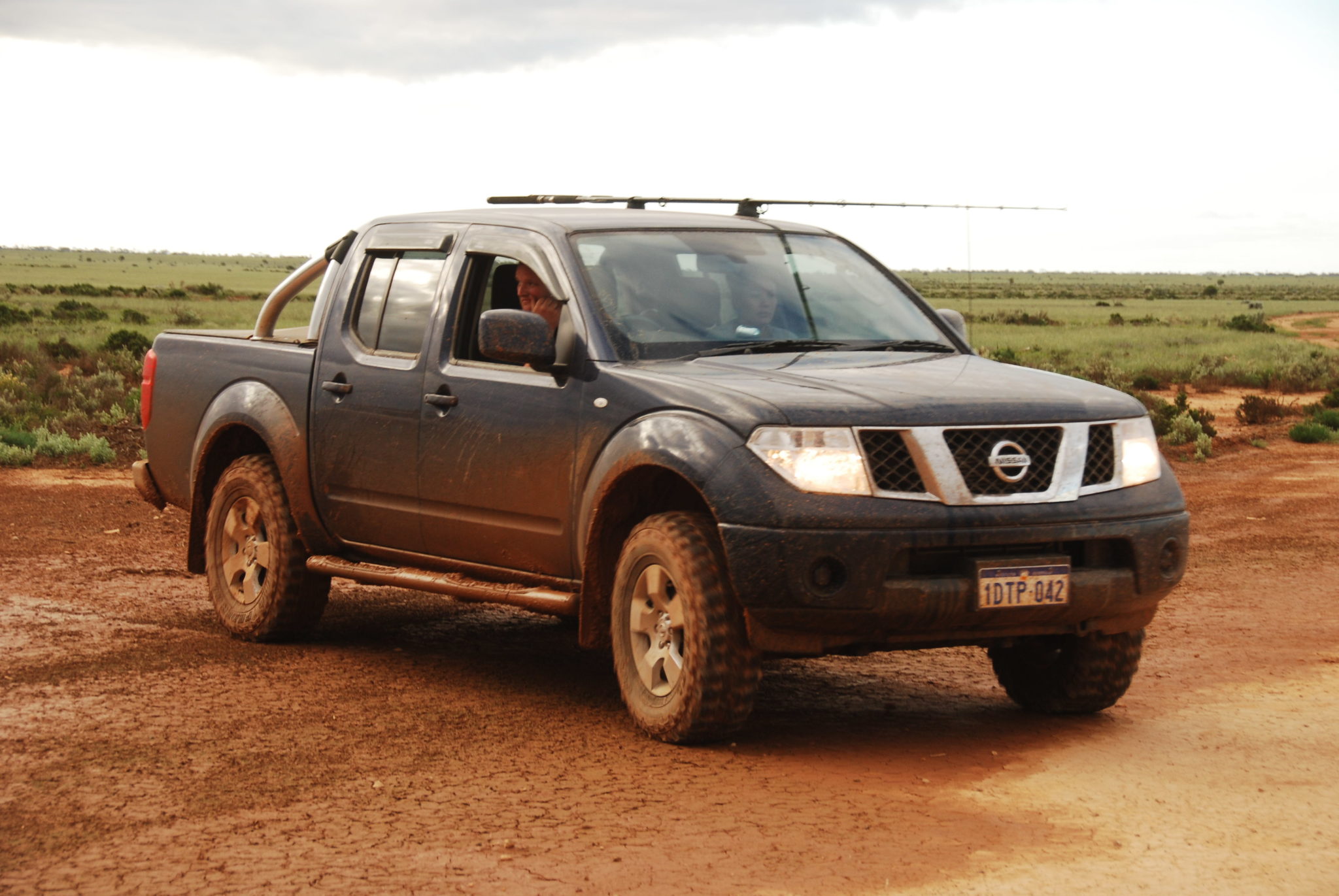
We met up with Rick, a truck driver from Kalgoorlie, who was heading to the Bilbunya Dunes to do some quad riding with his son. His was the vehicle we heard and saw in the distance last night. He joined our convoy.
-

- Ricko’s Isuzu
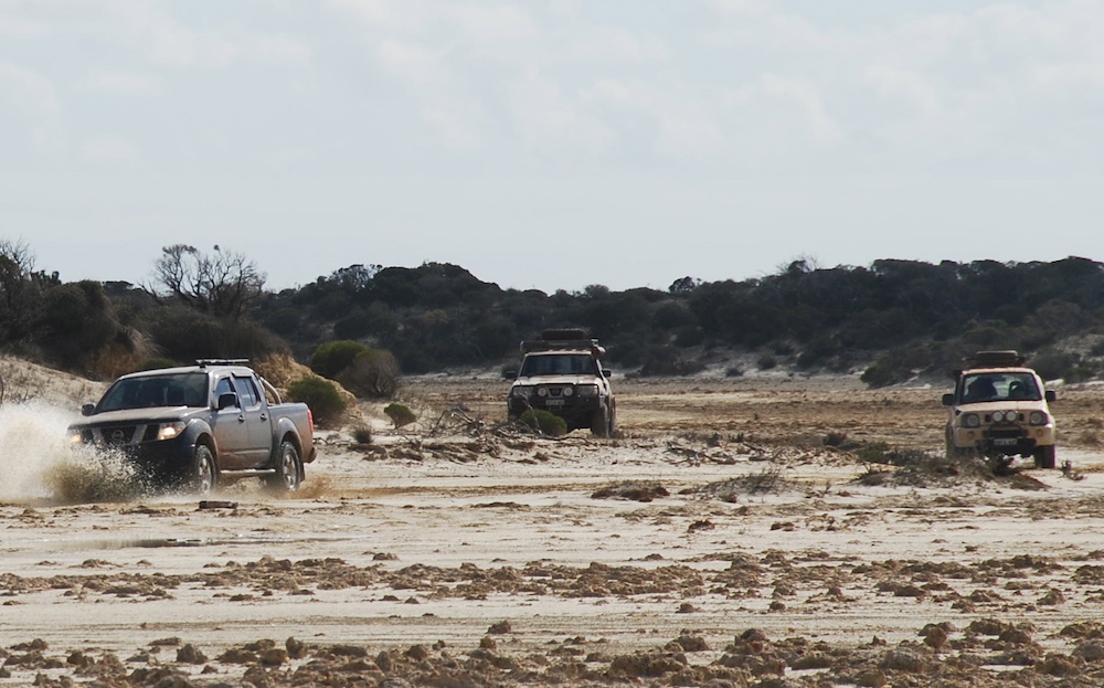
The mud continued. So did the fun.
-

- Greg and his Jimny near Toolinna Cove.
-

- Sideways is always fun.
-

- Dan and Dee in the Patrol.
-

- Ricko’s ute and trailer with quads.
-

- Paul and Lauren in the Navara on the way to Toolinna Cove.
-

- Dan and Dee in the Patrol trying to keep it straight.
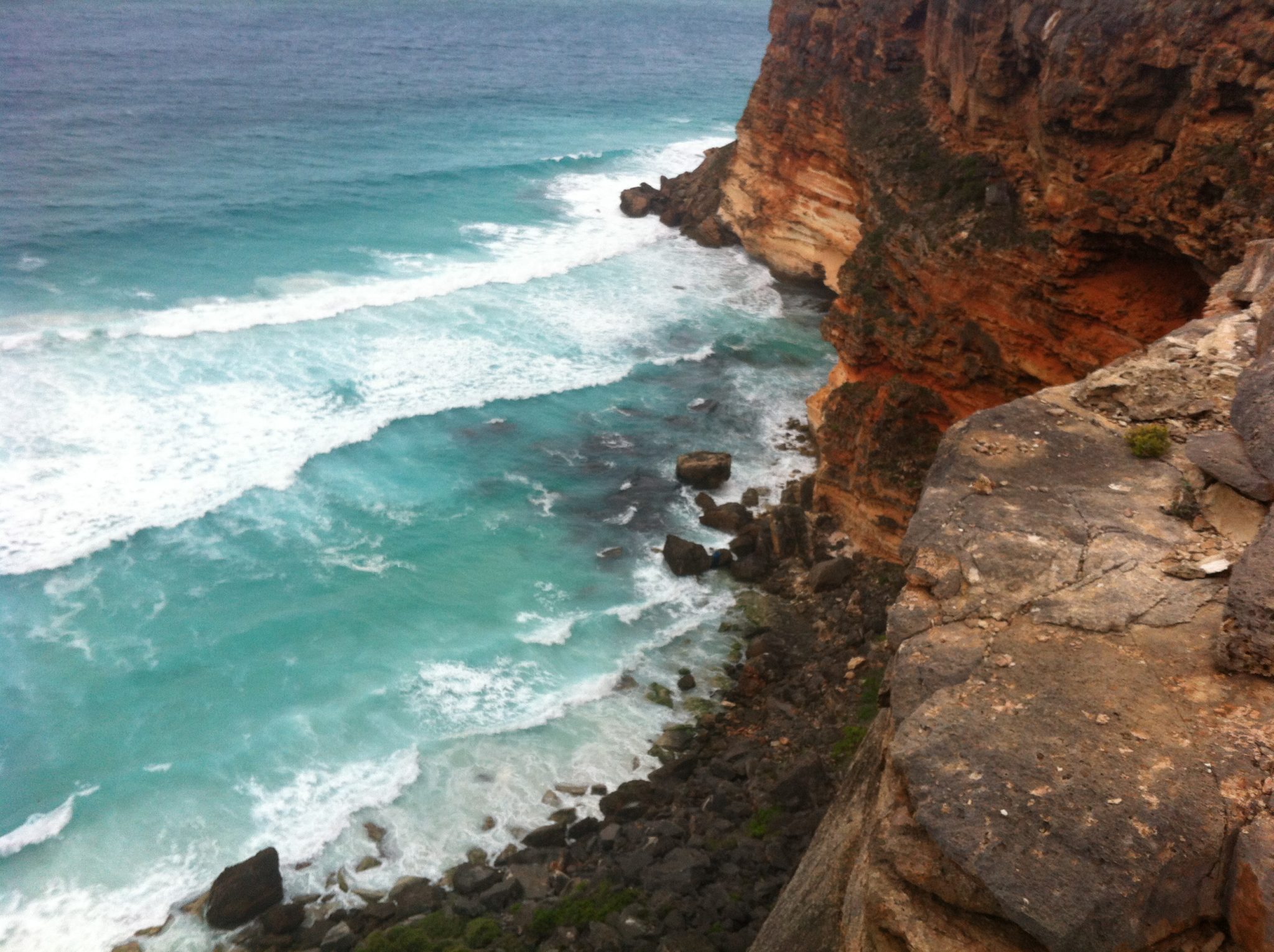
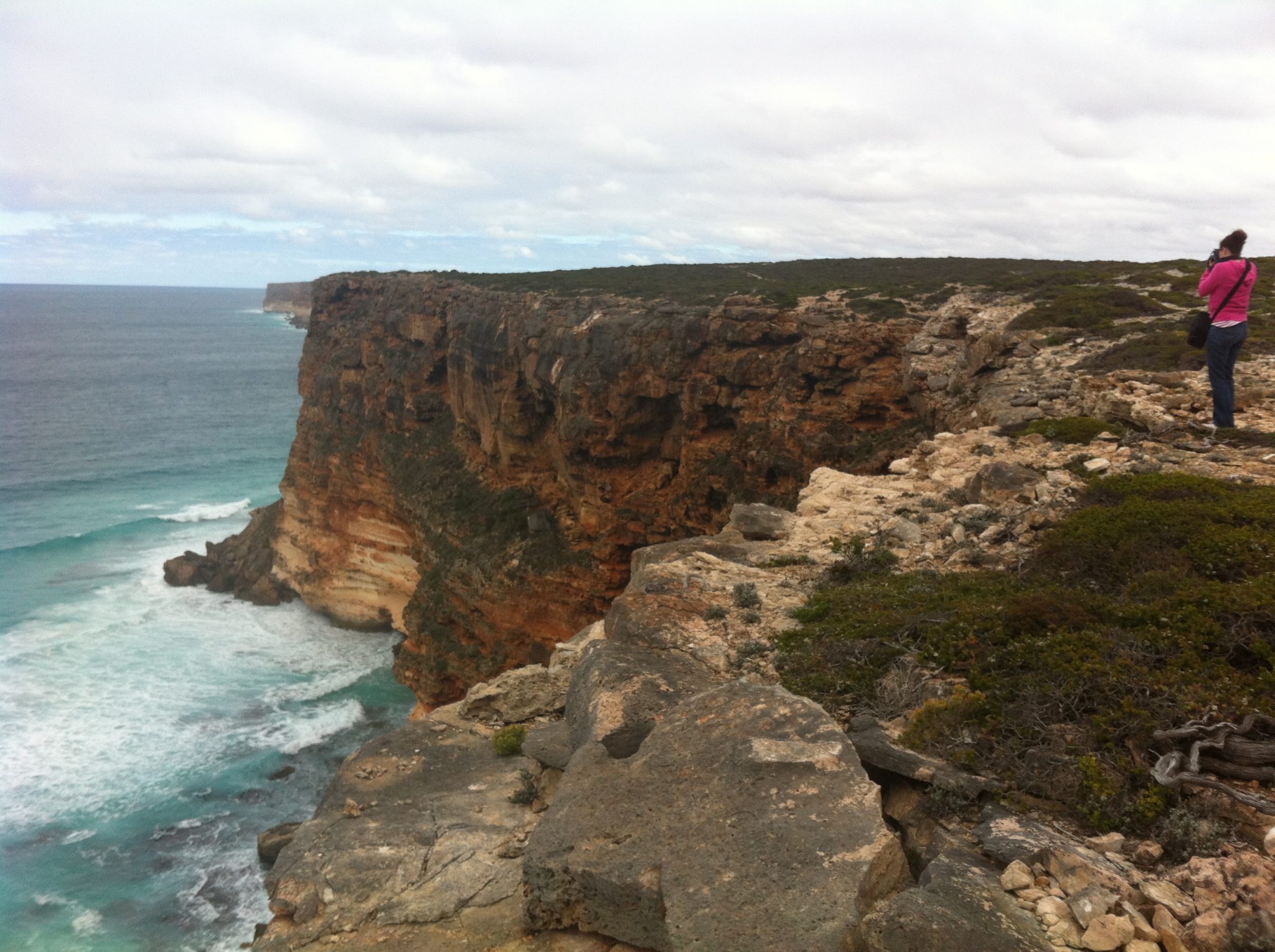
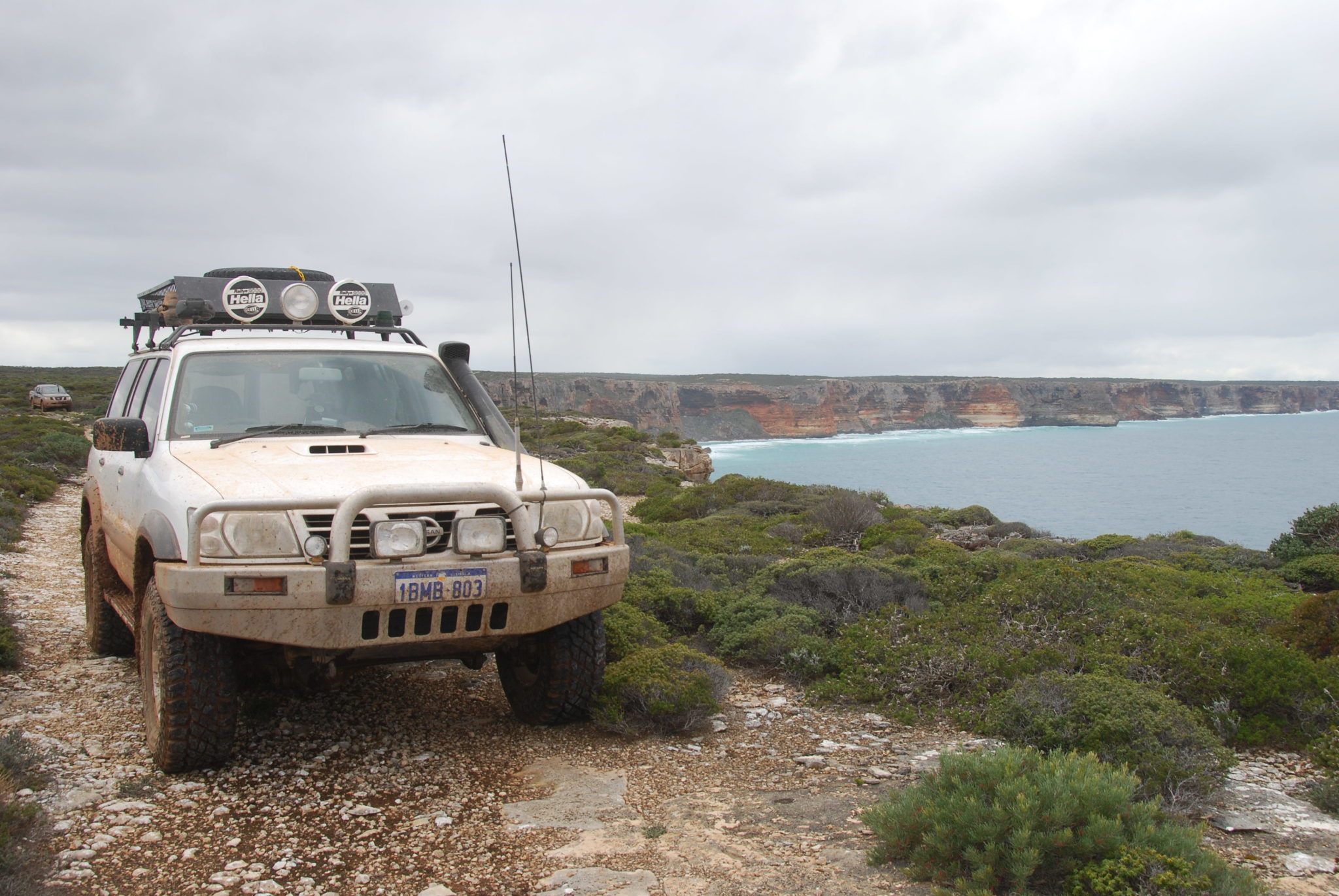
We arrived at Toolinna Cove, the only break in the Baxter Cliffs that run from Twilight Cove to Point Culver further west, a distance of 160 kilometres.
-
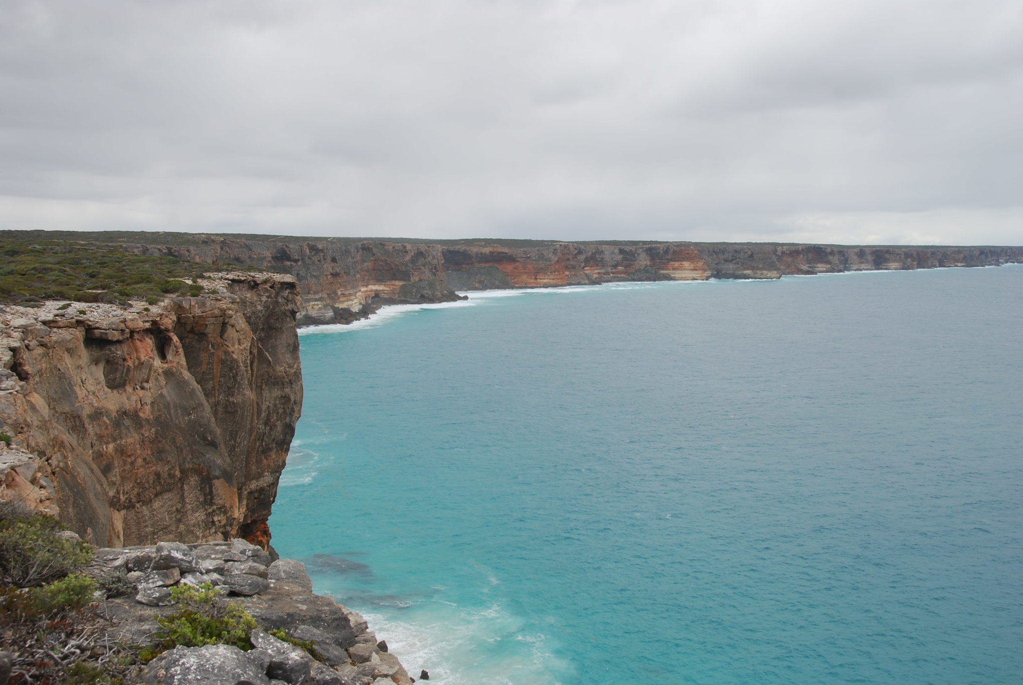
- Baxter Cliffs
-
- Toolinna Cove *
-

- Baxter Cliffs
-

- Dan. *
-

- The relentless Southern Ocean. *
-

- Baxter Cliffs. *
-
- Edge of Australia.
-

- Baxter Cliffs.
-

- Cliffs to the west of Toolinna Cove.
-

- Paul and Lauren in their Navara on the cliff track after leaving Toolinna.
-
- Kim and Patrol heading west on the cliff track. *
-

- Greg and his Jimny.
-
- Kim’s Patrol west of Toolinna Cove.
-

- Toolinna Cove. *
-

- Paul and Lauren on the cliff-hugging track.
We followed the cliff track for a few kilometres, making slow progress because of the roughness. Ricko decided he’d had enough and found his way to the main dirt track that led to the dunes. A few kilometres later we decided to do the same thing.
Not a lot further west we hit the first of a series of mudholes.
-
- Start of the mud.
-

- Lots more to come.
-

- Paul and Lauren.
-
- Dan and Dee.
-

- Bit of a challenge for the Jimny.
-

- Greg and his Jimny.
-

- Stuck
-

- Greg attached snatch strap. *
-

- Extracted by Paul.
I spotted an Australian Bustard just off to the south of the track.
-
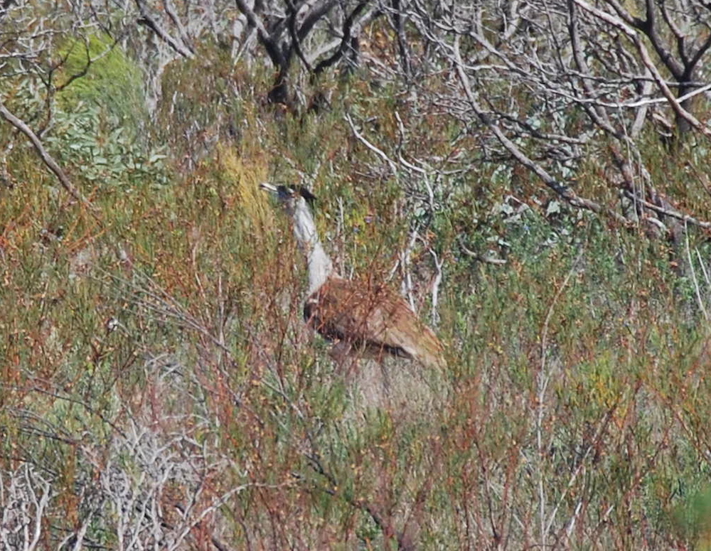
- Bustard
-
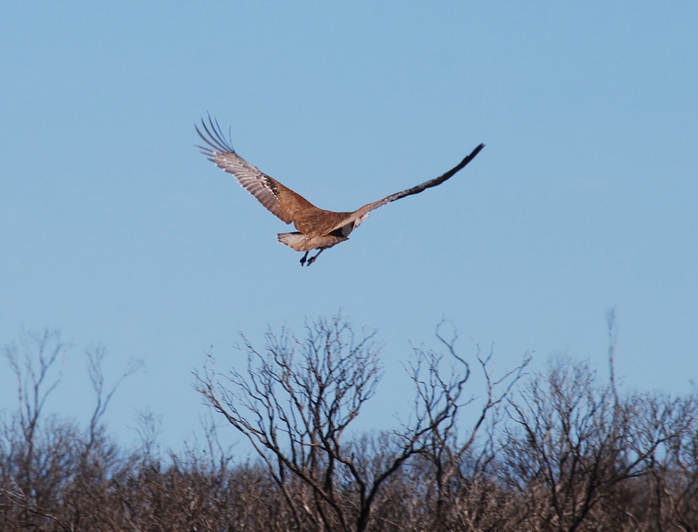
- Takes flight
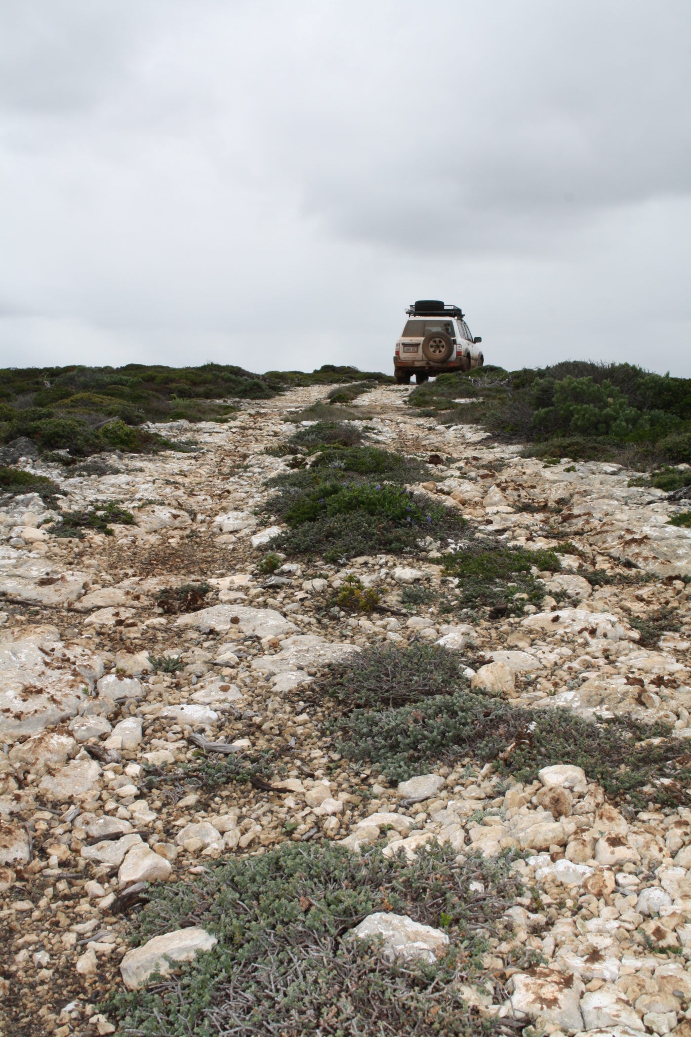
The track was quite open, unlike the bonnet scraping experience when I was through here in the 90s. We eventually arrived at the top of Wylie Scarp (named after aboriginal Wylie, companion of Edward John Eyre on his epic transcontinental journey through here in 1841) to be greeted by some magnificent ocean views.
-

- Heading from the Wylie Scarp down to the beach. *
-

- The track to the beach.
-

- Conveyor belting has been placed to prevent erosion.
-

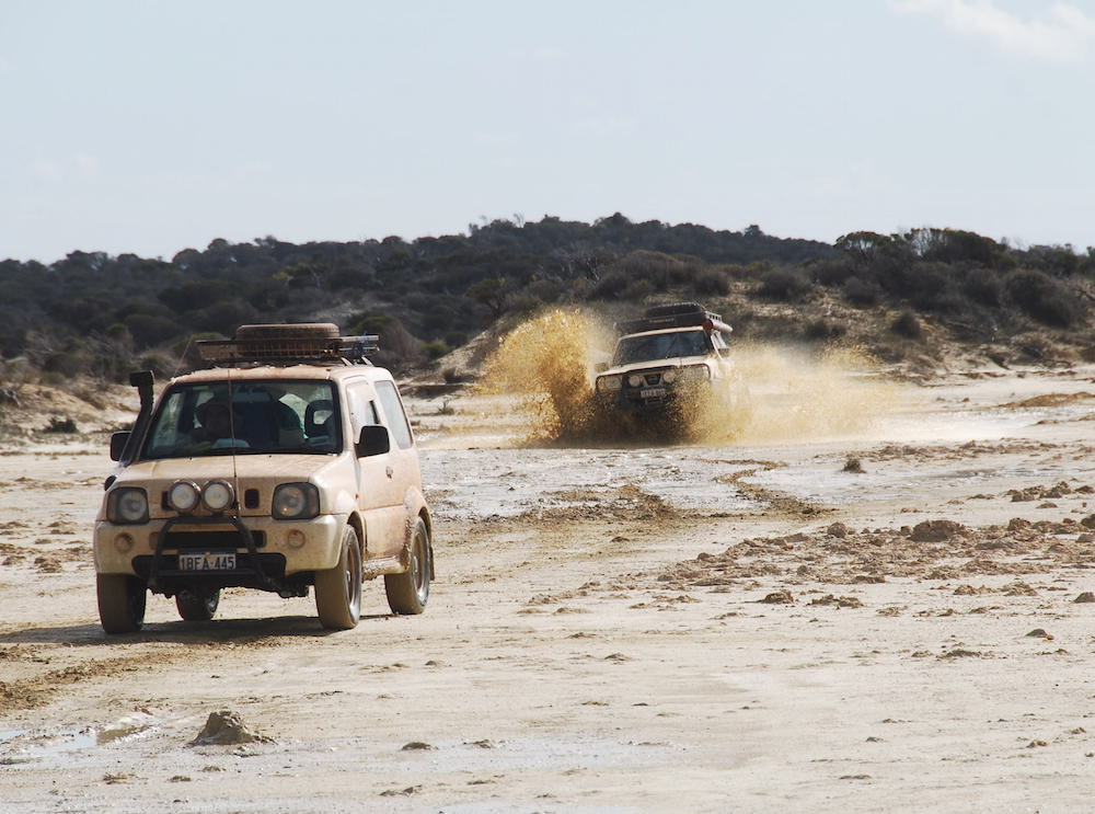
- Greg and his Jimny.
-

- Heading to the Bilbunya Dunes. *
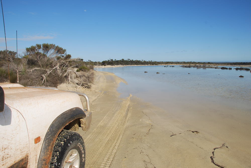
The distance of the drive from the scarp to the beach appears deceptively short but in actuality it is close to three kilometres. The spectacular Bilbunya Dunes are dazzling ‘live’ sand dunes, up to 100 metres in height.
Nullarbor pioneer J. Carlisle applied the name “Bilabalanya” to them in 1949 but over the years it has been corrupted to its present form.
-

- Bilbunya Dunes
-

- Bilbunya Dunes
-
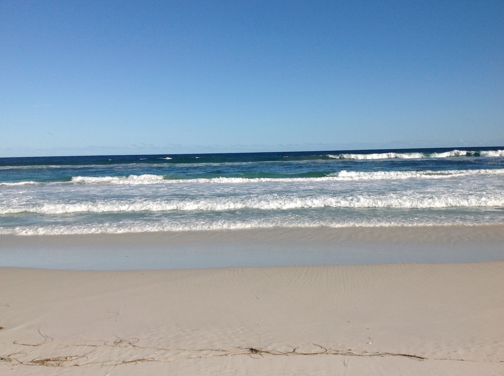
- Bilbunya Beach
-

- Bilbunya Dunes
-

- Bilbunya Dunes
-

- Bilbunya Dunes
-

- Bilbunya Dunes
-

- Bilbunya Dunes
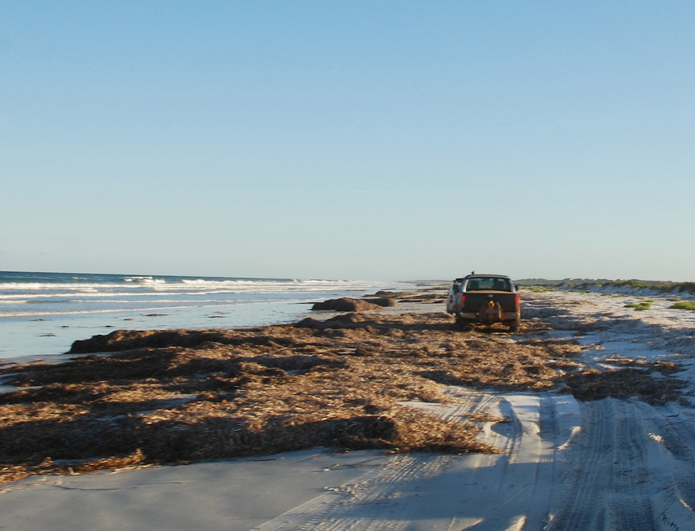
The dunes are the backdrop for much of the journey along the beach. They are continually moving and have encroached inland for about a kilometre. The constant wind whips sand from the tops of the dunes to create everchanging shapes and patterns.
The Bilbunya Dunes are also home to Australia’s largest star dune system. A star dune is one that is subject to wind from three or four directions forcing the sand upwards rather transversely.
-

- Greg and Dan.
-

- On the beach.
-
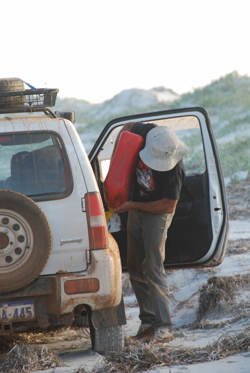
- Greg refuelling the Jimny.
-
- Kim’s Patrol on Bilbunya Beach.
-
- Heading west.
-
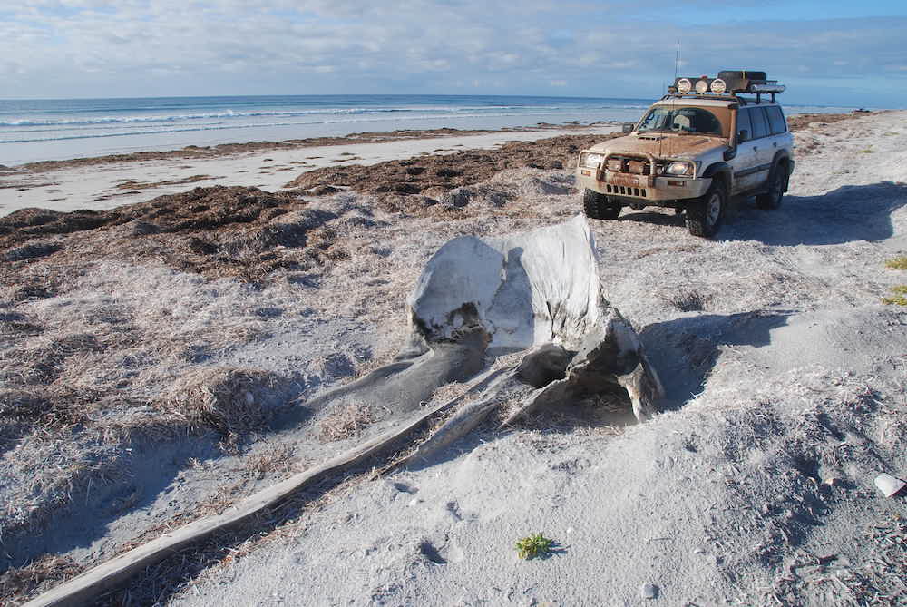
- The whalebone marks the turnoff to Wattle Camp.
We turned off the beach to camp at Wattle Camp. Explorer Alexander Forrest camped here in 1870 and named it because of the presence of wattles (Acacias). The site was too exposed so we continued to the edge of nearby claypans and made camp among the myriad of tracks.
-

- Our Wattle Camp.
-

- Inundated claypan. *
-

- Dee.
-
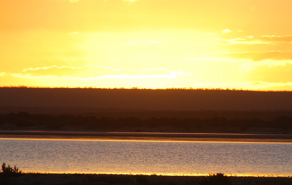
- Sunset over water.
-

- Why one goes bush.
-

- End of our second full day.
Next morning we headed off through a series of unnamed claypans that stretch all the way to Israelite Bay.
-
- Leaving Wattle Camp. *
-
- Start of the muddy claypans.
-
- Queue
-

- First of the claypans wasn’t very muddy.
-
- Paul and Lauren.
-

- Greg and Kim.
-
- Paul and Lauren, Dan and Dee, and Greg.
-

- Paul and Lauren in the Navara.
-
- Dan sends up a spray.
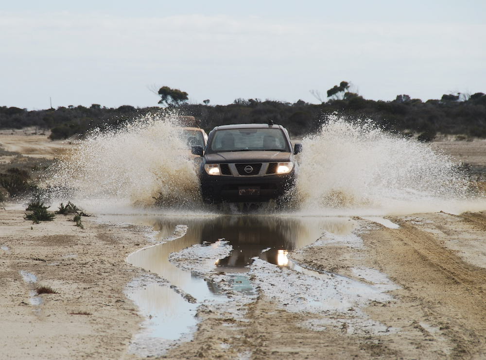
Along the way we came across a few deeper mudholes.
-

- Kim takes his Patrol through.
-

- That’s Greg’s Jimny behind the splash.
-

- Greg took his Jimny around the edge.
-

- Dan powered through in his Patrol.
-
- Paul drove through the middle of the mudhole.
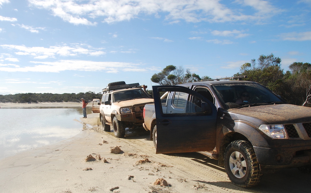
After skirting the margin of Lake Daringdella we took Fisheries Road – one of the Great Drives of Western Australia – out of Israelite Bay to Condingup and then Esperance.
-

- Israelite Bay
-

- Dan at Israelite Bay.
-

- Ruins of telegraph station at Israelite Bay.
-

- Lake Daringdella, near Israelite Bay.
-

- Lake Daringdella.
Soon after leaving Cape Arid National Park we stopped for lunch and Dan decided to check his left front wheel bearing.
-
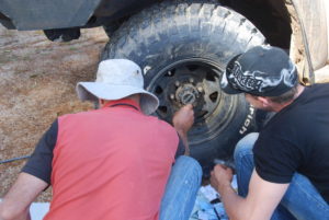
- Greg and Dan working on the wheel bearing.
-
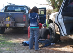
- Dee watching Greg and Dan work on wheel bearing.
It was too early to stay in Esperance so we continued west, looking for a suitable place to camp.
-
- Kim’s Patrol off the track.
-

- Slid off the track on a bend.
-
- Potential to slide further downhill.
After retrieving my vehicle from its predicament we camped on the side of the track into Shelley Beach. Next morning it was a straight run back to Perth.
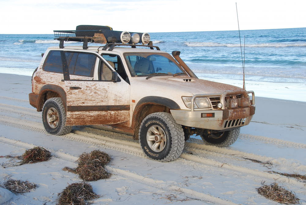
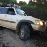
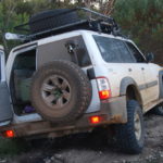
Kim in Nissan Patrol 3.0L Diesel Wagon
Dan and Dee in Nissan Patrol 4.8 L Petrol Wagon
Greg in Suzuki Jimny 1.3L Petrol Jimny
Paul and Lauren in Nissan Navara 2.5L Diesel Ute with canopy.
© Kim Epton 2013-2024
1787 words, 114 photographs, three videos.
Photographs
Kim Epton
Dee Carter (marked with an asterisk *).
Feel free to use any part of this document but please do the right thing and give attribution to adventures.net.au. It will enhance the SEO of your website/blog and Adventures.
See Terms of Use.
