THE ORIGINAL PLAN was to travel to Widgiemooltha through the Great Western Woodlands via Lake Johnston and Cave Hill on the Friday. We would then start the Widgiemooltha Telegraph Track and continue south to camp at Dordie Hill.
The next day we planned to follow the route of the Widgiemooltha Telegraph Line to Lake Cowan and continue south just past Norseman to pick up the route of the telegraph line to Balladonia.
The return journey from the edge of the Nullarbor was to be along the Eyre Highway, through the Dundas Hills to Beacon Hill Lookout before heading into Norseman. We planned to head south to McPherson Rock and continue to Peak Charles and Peak Eleanora in the Peak Charles National Park to camp for the night.
The journey back to Perth on the Monday was to be through Annes Pass before following the margin of Lake Sharpe to the Lake King Road, the 90 Mile Tank and Frank Hann National Park. Then east to the Rabbit Proof Fence and then out to Hyden Norseman Road. Turn off to Kings Rocks and head to Corrigin via Billericay and Bendering. Those living north of the river would head to Quairading, those south of the river would head to Brookton.
- The planned course
So much for planning!! The on time departure from Kelmscott was a good start, and each morning was early start but, try as we might to maintain the schedule, we still had to delete the last day and half of the planned trip.
THURSDAY 12 NOVEMBER 2015
WE LEFT KELMSCOTT on Thursday evening in two groups to minimise disruption to other traffic. After dinner at Kondinin we arrived at our turnoff to Emu Rock around 9.00 p.m. and spent some time searching for the track to the right of the road. Joe picked it up. Dusty explains: “… onto our first camping spot on the Holland Track and, after some cross country driving for some [Dusty], we set up a strategic hide for the evening.”
It was a cool night with a strong easterly blowing.
FRIDAY 13 NOVEMBER 2015
- Mike at Emu Rock
- Morning at Emu Rock
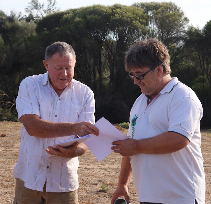
- Kim hands Mike instructions on Convoy Procedure and Procedure if Lost.
- Greg and Henry.
- Graham and Joe.
Dusty again:
“After an early rise in the morning we were briefed by our fearless leader Kim who in true fashion didn’t disappoint with detailed information on the days ahead.”
- Kim and his Rodeo at Emu Rock.
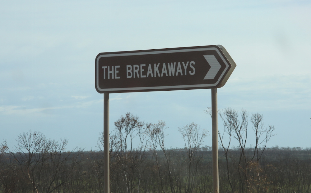
We were away before 7.00 a.m. First stop was The Breakaways.
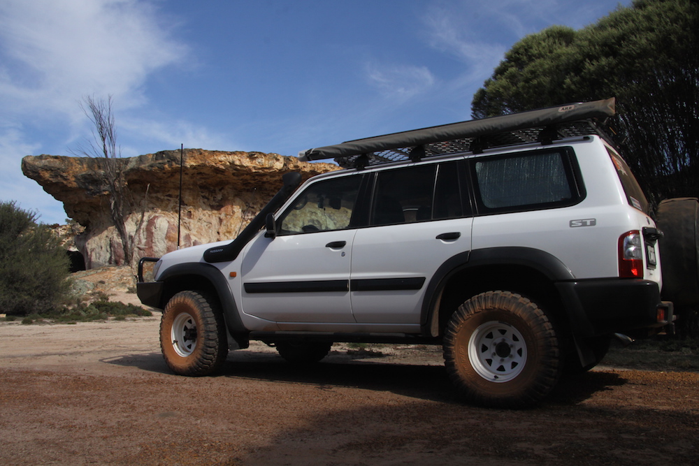
- The Breakaways
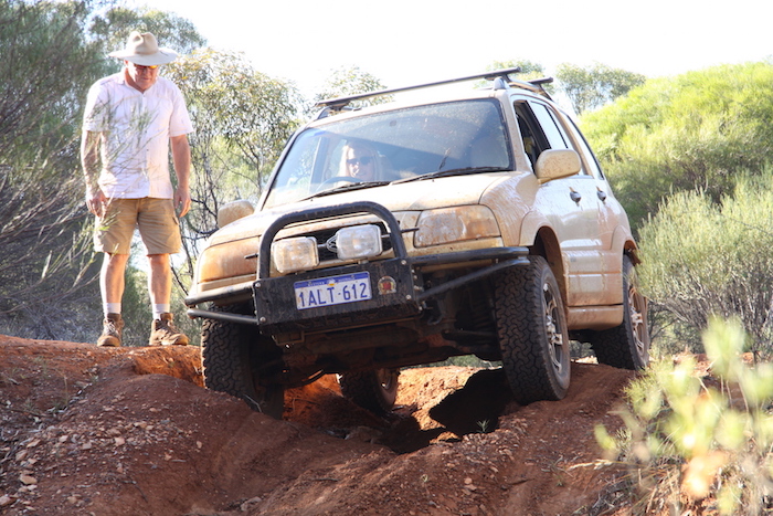
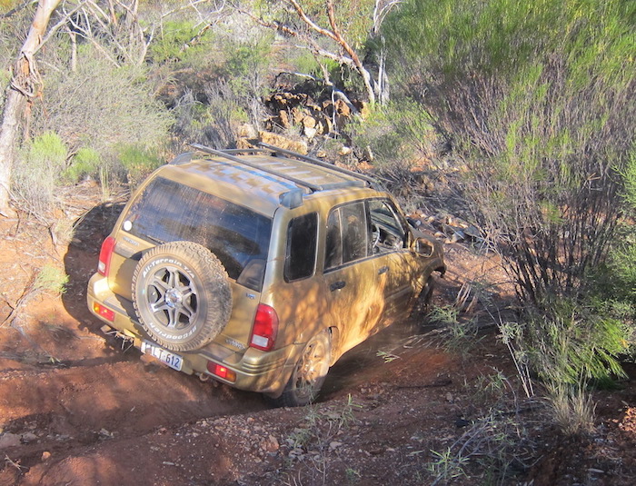
- Harrison’s Vitara
- Graham’s Patrol
- Joe’s Patrol at The Breakaways.
- Bungarra
- Graham and Jeff at Wildflower Wonderland
- that was totally burnt out.
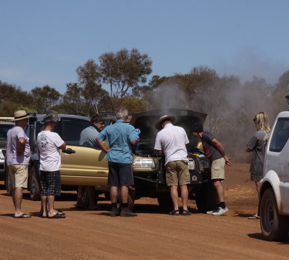
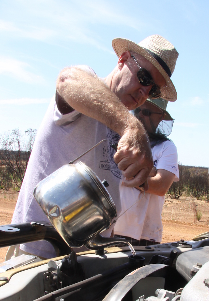
Only a few kilometres after leaving The Breakaways Mike came on the radio calling for the convoy to stop as the Vitara was overheating.
- The Vitara was very hot.
- Jef added warm water to radiator.
- Small quantities of water slowly added.
- Greg and Joe removed the guard to check the lower hoses.
I had scheduled to rendezvous with Scotty Wilson from Kalgoorlie at the Cave Hill turnoff at 11.15 a.m. and given our early start we were going to be way early. But the issue with Harrison’s Vitara reversed the situation and we were now not going to make the rendezvous on time. Close, but late. There is some latitude in the bush.
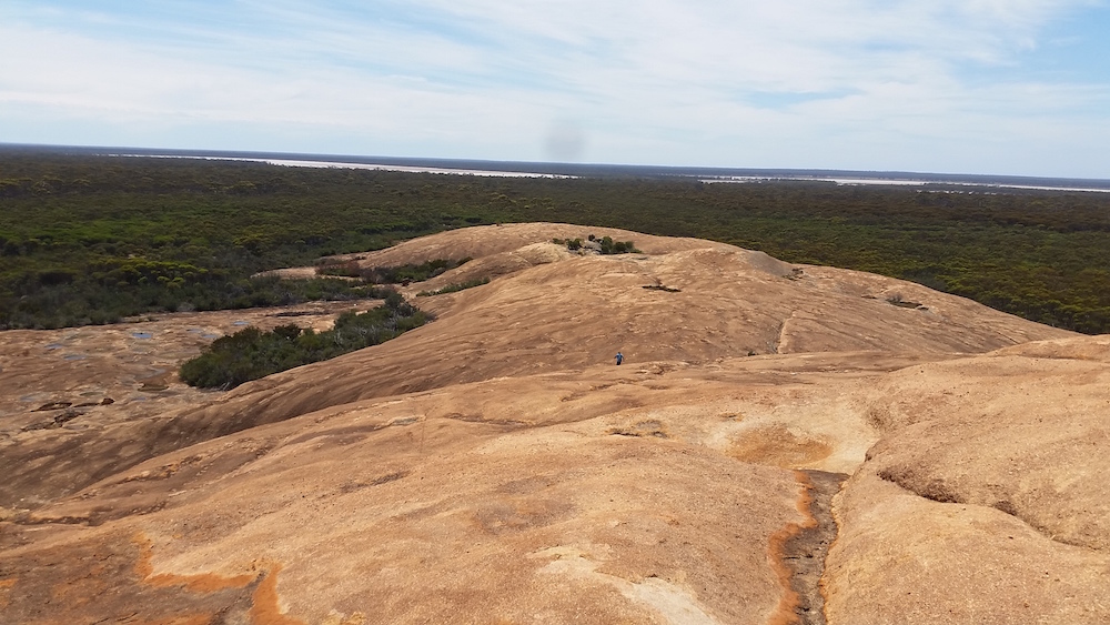
Next stop was McDermid Rock, named by that prolific explorer Frank Hann in 1901. This is one of the more important granite outcrops in the area. The Lands Department placed a Trig Point atop the rock in 1980.
- Directional sign on the Hyden-Norseman Road
- Water in a depression on the rock.
- Kim takes a breather at the ‘waves’.
- Information plaque at the summit.
- At the base of McDermid Rock
- Granite Bottlebrush (Melaleuca elliptica).
- Atop McDermid Rock.
We left McDermid Rock and drove back to the Hyden Norseman Road. After two and a half kilometres we made a left turn onto Victoria Rock Road. The rendezvous point was 28 kilometres to the north-north-east. Ten kilometres out I raised Scotty on the UHF radio. We arrived five minutes late and, after Scotty introduced himself to everyone, we headed towards Cave Hill. To differentiate between the two Scotts we referred to the prospector in the Toyota Landcruiser as Scotty and the fireman in the Suzuki Jimny as Scott.
- Will need a new sign in a few years.
Scotty has prospected around Kalgoorlie for 35 years and was President of the Eastern Goldfields Historical Society for 12 years. His knowledge of the geology and history of the area is encyclopaedic. For the next few hours the entire party was treated to a variety of quality information about the geology of the area, settlements, major gold discoveries, woodlines, mining history and a whole host of other interesting topics.
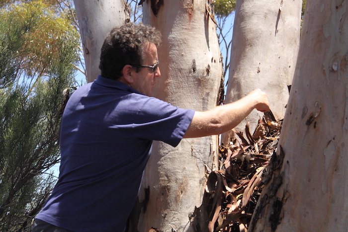
- Scotty explain the process of coppicing and how it caused the tree to regrow differently.
- Scotty Wilson explains how water can be found among the trunks of regrowth trees.
- Coppicing is good evidence that the area has been logged.
It would be difficult to imagine a better, more knowledgable or more professional presentation while touring through the bush.
We arrived at Cave Hill. Explorer/surveyor C.C. Hunt named Cave Hill in August 1864 and used it as a depot on subsequent expeditions to the area in following years.
Hunt noted red ochre aboriginal hand prints when he named the hill. When he questioned local aborigines about them he was told the prints were made before they arrived in the area. Terra nullius?
Cave Hill was the main camp for the woodline operators. From the time of the first gold rush wood was in great demand on the goldfields. It was used as fuel for the steam driven winders that hauled ore to the surface, the generators that provided electricity, the pumps that brought essential water from Mundaring (and prior to that as fuel to heat condensors that ‘made’ water), and to support the hundreds of kilometres of shafts and stopes in the underground mines.
Before long the area within a 15 kilometre radius of the mines was cut out. From 1903 railways were utilised to bring in the wood. These were known as ‘woodlines’.
Cave Hill woodline was in operation until 1938. The area around Victoria Rock was cut out around 1921. At their peak, the timber companies employed 1500 men and supplied over 500,000 tonnes of firewood and mining timber each year. In the early 1950s the switch to coal-powered boilers and diesel-powered generators greatly reduced the demand for wood. New underground techniques of leaving rock columns to support the stopes also drastically reduced the demand for structural timber. Woodlines continued to the south and east of Kalgoorlie until 1965 when they ceased operation.
- The entrance.
- The ‘cave’ at Cave Hill.
- Some of our group at Cave Hill ‘cave’.
- Harrison at Cave Hill.
- Cherry and Ayesha at Cave Hill
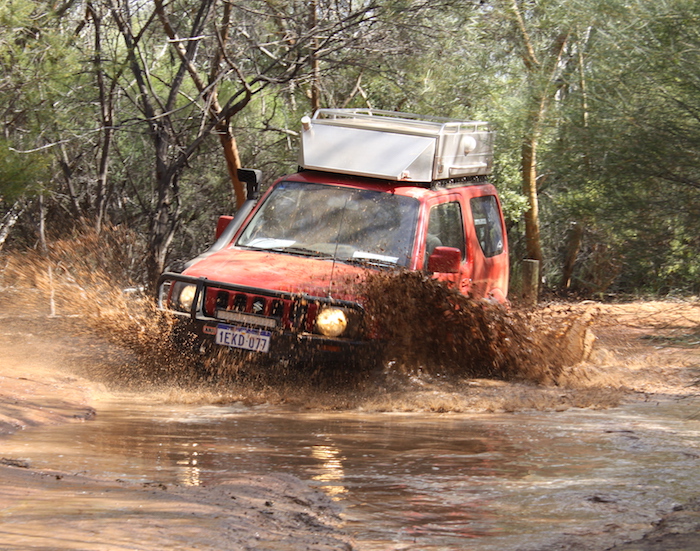
The day was heating up as we left Cave Hill, heading for Widgiemooltha. Given the time of year it was interesting that there was still some water around.
- Kim was the first to drive through.
- Scott takes his Jimmy through.
- Greg in his Jimmy.
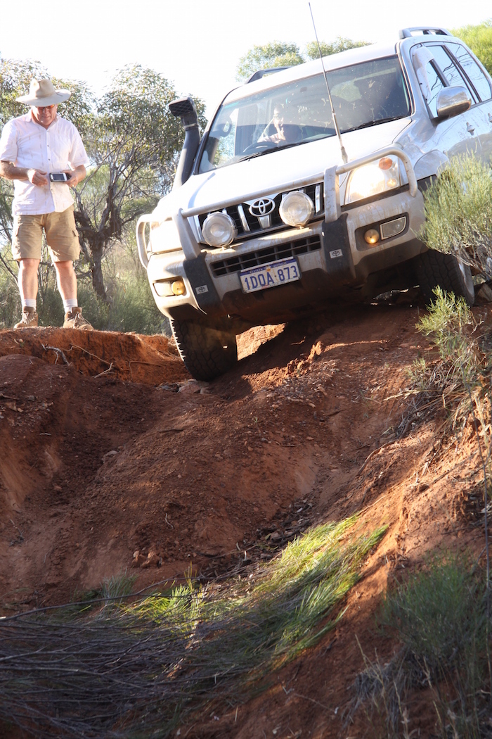
- Jeff drove his Prado through.
- Dusty in his Patrol.
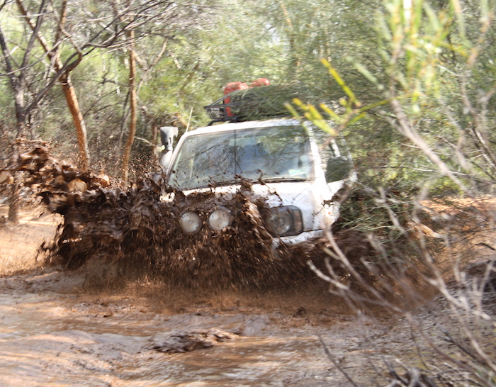
Only a few hundred metres further on there was more water and now it was time for some fun.
- Dusty’s Patrol.
Once we hit the Widgie-Burra Rock Road it was an easy drive to Widgiemooltha with Scotty giving commentary the whole way.
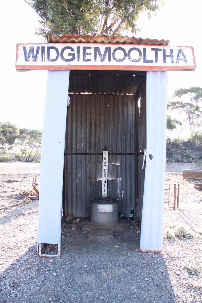
We arrived in the virtually abandoned hamlet of Widgiemooltha at the rear of the Widgiemooltha Roadhouse. The Coolgardie-Esperance Highway is routed to the east of the roadhouse, bypassing the original townsite.
Gold was discovered in the area in the 1890s and the townsite grew to a population of 112. The name of the town is aboriginal in origin, meaning the ‘beak of an emu’. The discovery of the Golden Eagle nugget in 1931, the biggest nugget found in the history of Western Australian goldfields, sparked a rush to the area that saw a thousand men working the field. Gold and nickel continue to be mined around Widgiemooltha today.
- Widgiemooltha Roadhouse
- Home of the Golden Eagle
- Golden Eagle replica
- Widgiemooltha Tavern has lots of memorabilia relating to to early goldfish days and the finding of the famous Golden Eagle nugget in 1931.
- Not quite sure what its function is.
After a quick visit to the pub to see some mementos and photos of the Golden Eagle, the largest nugget ever found in Western Australia, we crossed the highway and drove 150 metres to Widgiemooltha Salt Road – the start of the Widgiemooltha to Norseman section of the telegraph line. This section was part of the Esperance to Coolgardie Telegraph Line that was constructed in 1896. Read more about the telegraph line and how vitally important it was to Western Australia.
Within less than 100 metres we had a insight as to what the track had to offer.
- Landcruiser through the creek bed.
- Dusty’s turn.
- Kim guides Harrison.
- Harrison descending creek.
- Kim guides Jeff
- Greg takes his Jimmy through the creek.
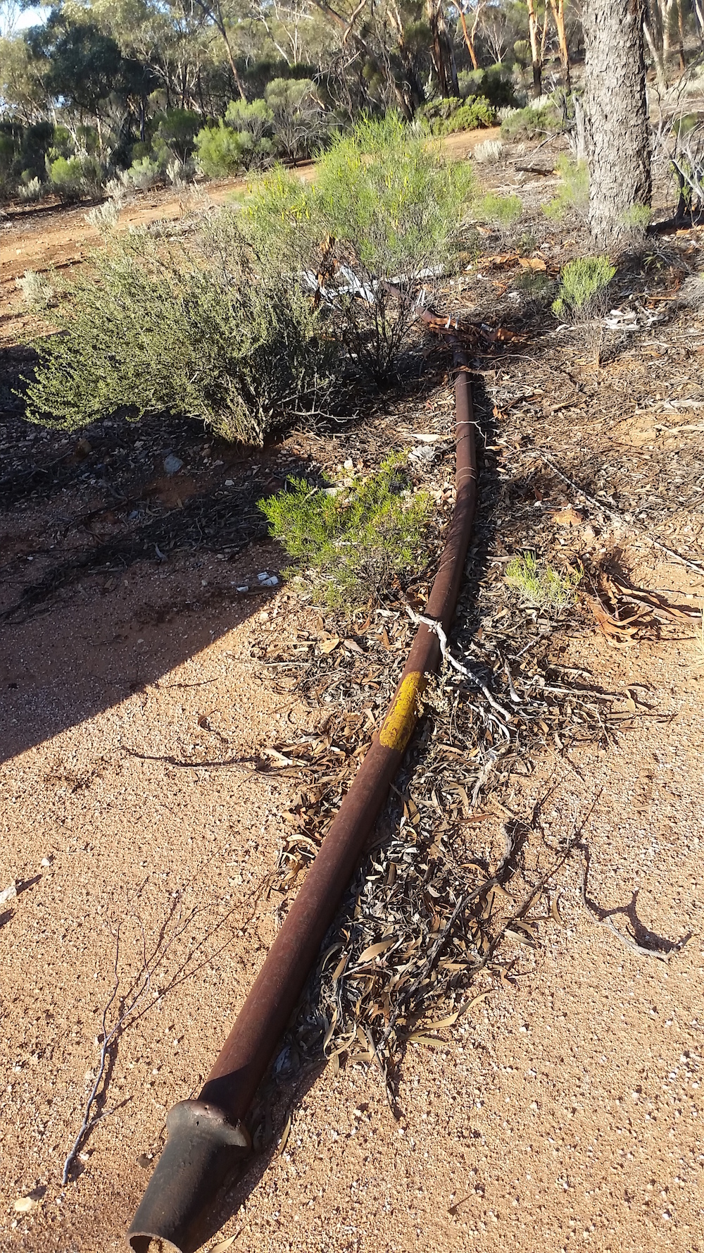
- Telegraph pole.
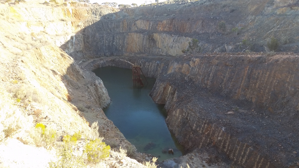
Late in the afternoon, about three kilometres south of Widgie, I noticed an open cut mine just off the track to the west. We pulled into a cleared area and walked up to the mine.
- Cardiff Castle open cut mine.
- Cardiff Castle open cut.
The Cardiff Castle gold mine was operated in the late 1890s with limited success, then again from around 1920 to 1950. Preston Resources mined it as an open cut circa late 1980s. It produced about 8,500 ounces, worth some $13,000,000 in 2015 dollars. The rehabilitation and containment of the open cut is somewhat lacking.
We arrived at the planned overnight stop, Dordie Rocks, just on dusk. Emus came in to drink at the gnamma aware of our presence but showing no trepidation. Rain was threatening but held off.
- Patrol at the entrance to Dordie Rock NR.
- Dordie Rocks campsite
- Emus came in to drink late in the afternoon.
- Dusty with his Cobb cooker.
- Storm clouds threaten.
SATURDAY 14 NOVEMBER 2015
THE CHALLENGE THE NEXT MORNING was to find the track south of the rocks. Scott and I were casting around in our vehicles while the others finished packing.
- Jeff and Harrison.
Dusty observed:
“The morning fun started only 50 metres from the camp site where our fearless leader thought he was in his Patrol and didn’t correctly navigate some rocks.”
- Going nowhere.
- Risky business.
Scotty’s comment:
Dordie Rocks. “ I was sure Kim got himself hung up on these boulders just to pass on some of his ‘wise extraction techniques!’ – but when he put his own back into it – I wasn’t so sure! “
Like many of the exposed granite outcrops in the goldfields, Dordie Rocks was an important stopping place for the various goldfield settlements as it was a natural water collection point. It was no accident that the Telegraph Track went right through here.
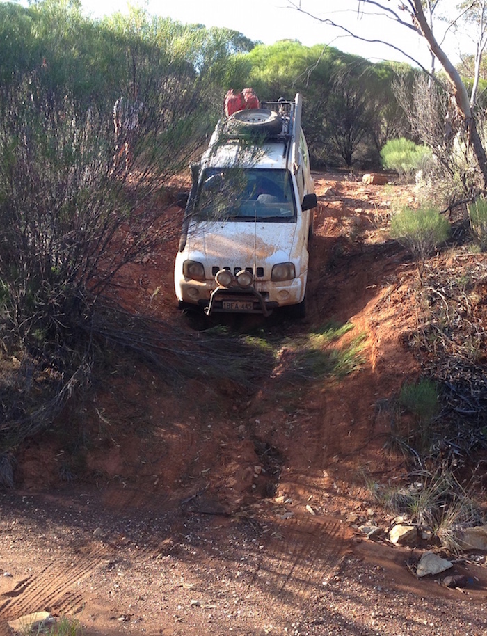
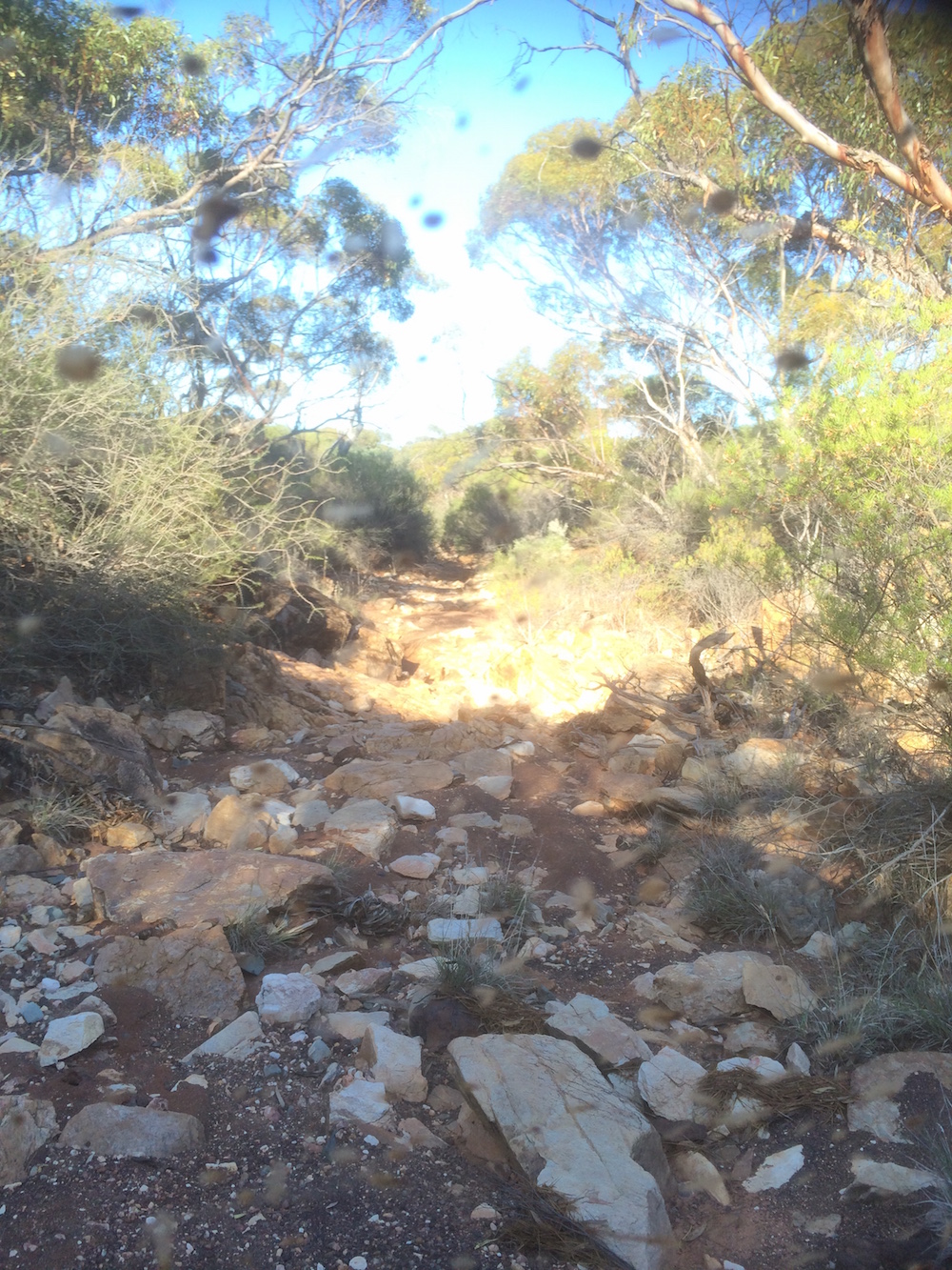
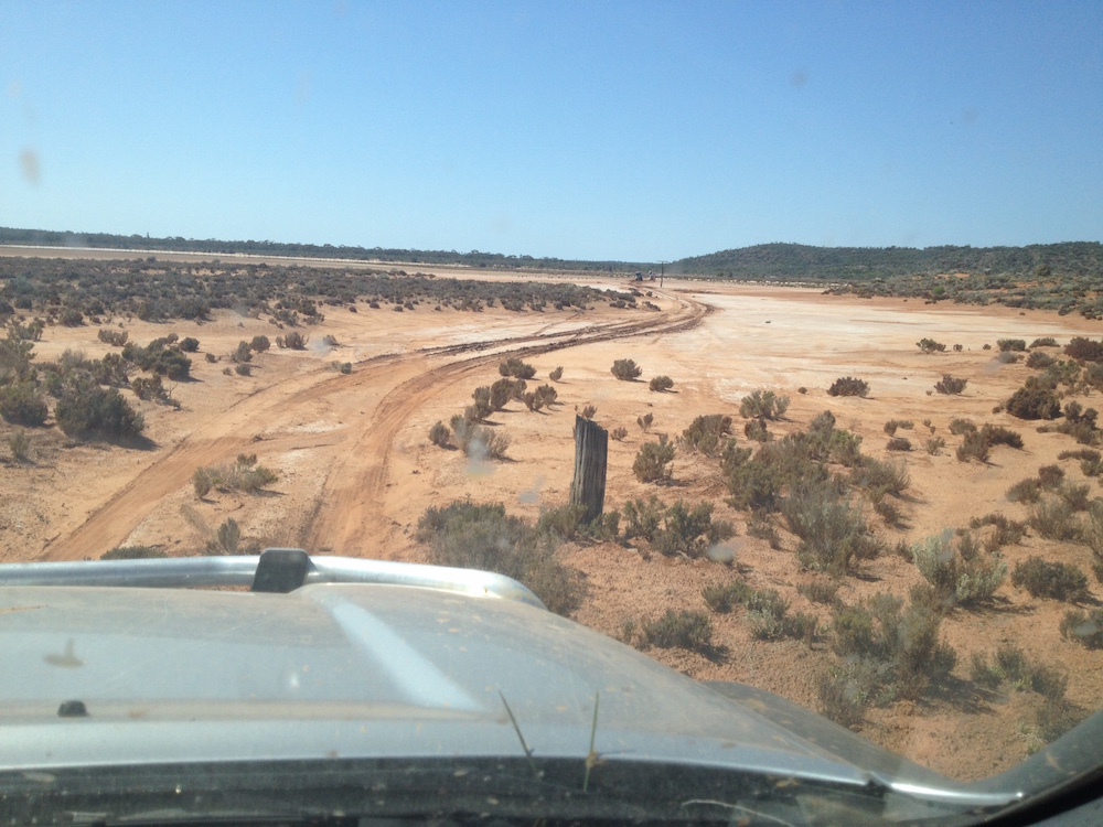
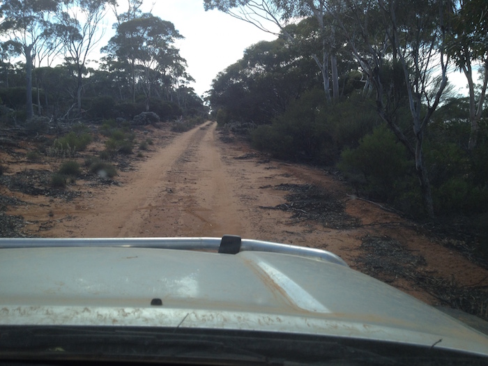
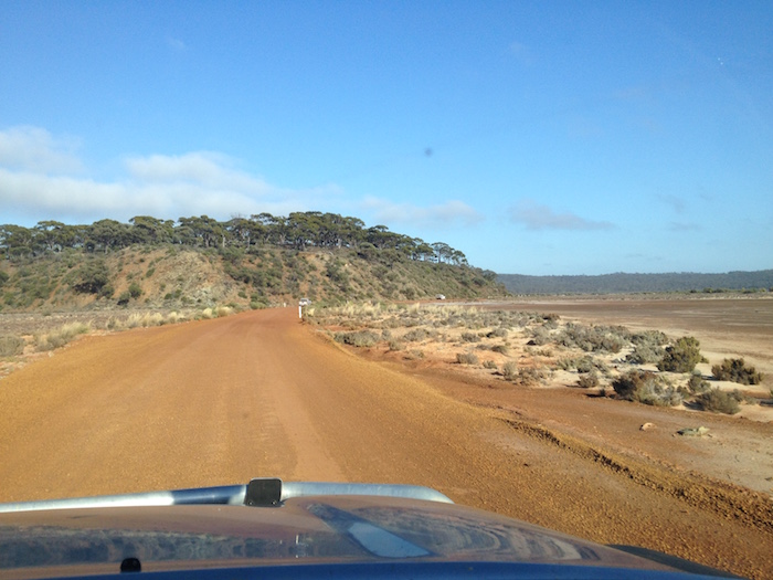
For the next several hours we forced our way south along a rough, overgrown track characterised by tight corners, steep, loose slopes, rocky creeks, slippery descents, washaways, ditches, and the occasional open patch were we could hit 30 km/h.
- Fortunately there isn’t too much of this.
- Sometimes the Track opens out.
- Slow going.
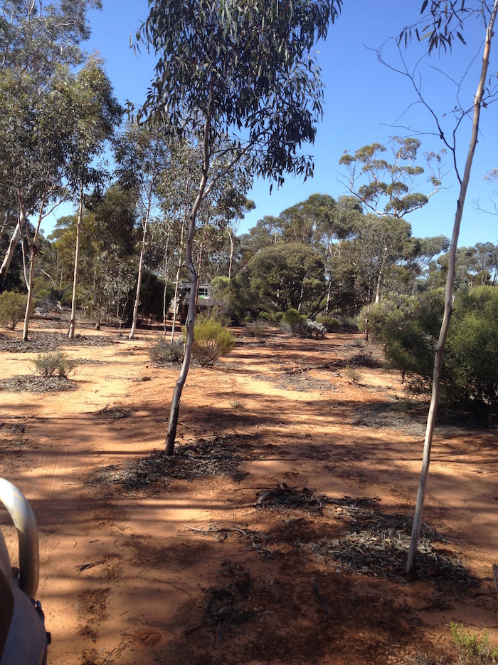
- Easy when the Track was through open woodland.
- The Track was defined most of the time.
- Regrowth saplings.
- Common condition of the Track.
- Hayden did a great job track clearing.
- Weathered granite country south of Dordie Rocks.
- Bullers telegraph pole.
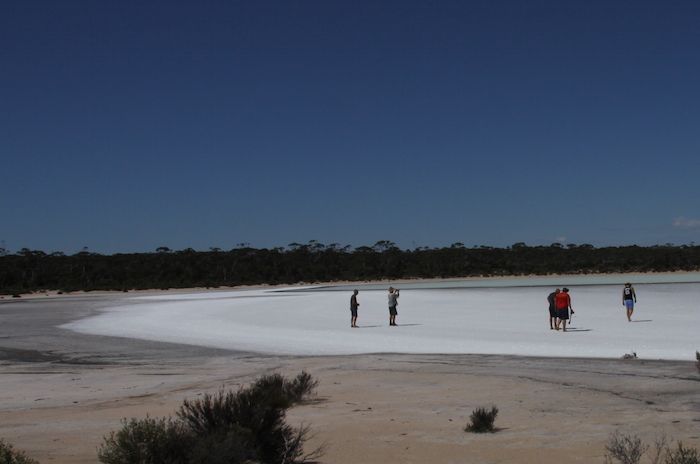
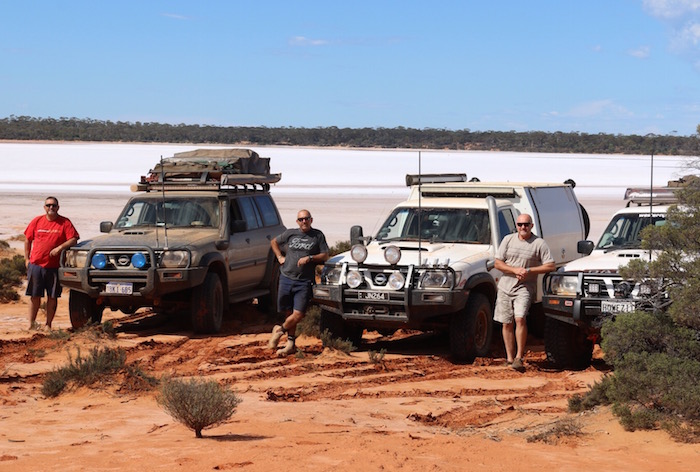
The Track led down to a salt lake (31°39’1.50″S 121°36’39.98″E) and Scotty suggested that it would be a good idea to spec for tektites/australites. Salt lakes are good places to search for australites as the small, dark coloured, flight-ablated, impact ejecta stand out well against the white of the salt.
- At an unnamed salt lake.
- Part of the Eaton Lake system..
- Speccing for australites.
Leaving the site of our unsuccessful prospecting we crested the next hill and saw the line of the Telegraph Track clearly delineated across the end of a much larger part of the Eaton Lakes (31°39’51.86″S 121°36’47.38″E).
- Salt lake country.
- Edge of the North Lake Eaton.
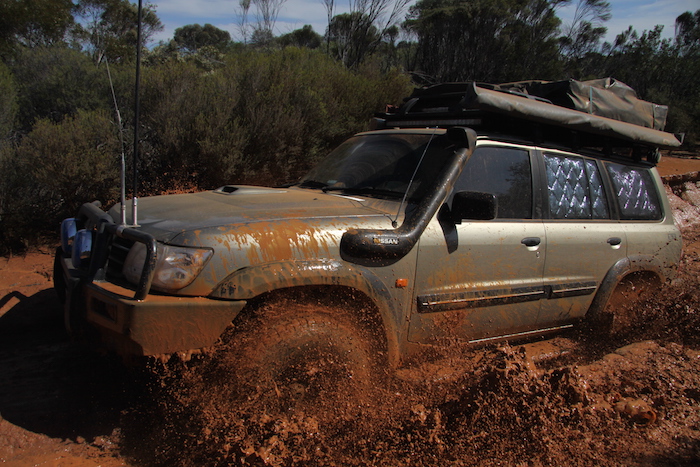
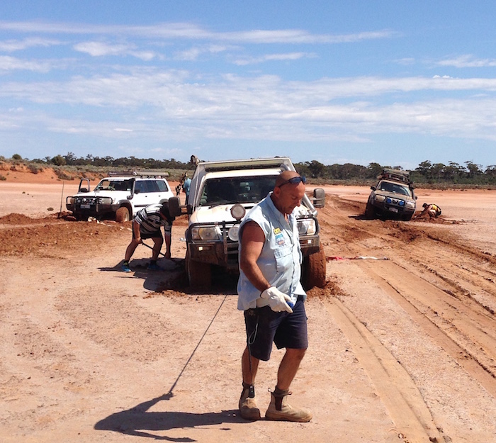
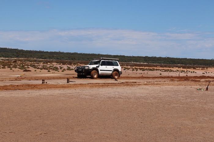
Scott (Suzuki Jimmy) was in the lead and he drove the 300 metres across the salt lake, barely leaving wheel marks. Kim, Scotty, and Greg made it across and parked on firm ground. Dusty went off the track a millimetre and went down about 300 mm. Joe came across to snatch him out.
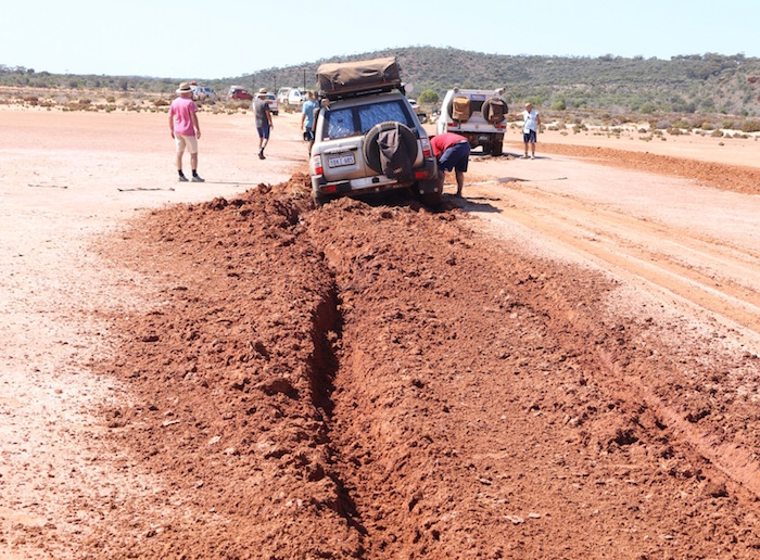
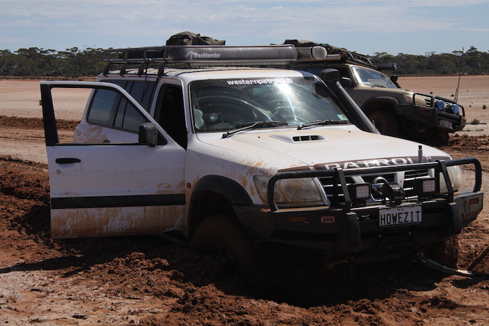
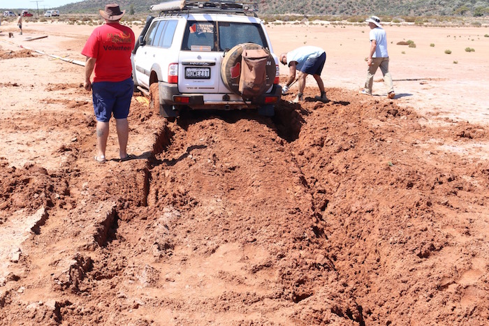
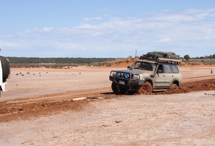
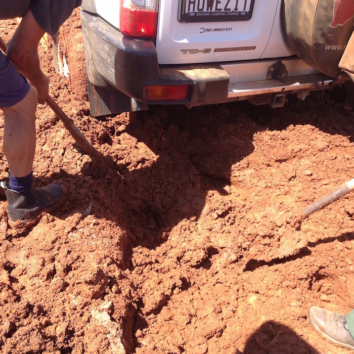
In case Joe dug up the track recovering Dusty’s vehicle I called across Harrison in the Vitara and Jeff in the Prado. Graham went to cross and he got bogged to the right of the track. When Joe made an initial attempt to recovery Graham he too got bogged.
THE SITUATION
- Three vehicles stuck.
- Soft mud.
- Kim and Greg assessing the situation.
- Dusty with his bogged Patrol.
- Bogged.
- Graham removing mud to get MaxTrax under the wheel.
With three vehicles bogged there was lots of uncoordinated effort. I called the entire crew in for a meeting and appointed Joe as the Trackmaster. Under his direction a plan developed and the crew worked on retrieving Graham’s vehicle.
- Joe and Henry.
- Scotty ready to pull everyone out.
- Joe ready to hook onto Scotty’s vehicle.
- Graham’s handiwork.
- Preparing for a second attempt.
- Lots of straps.
- Greg inserts MaxTrax.
- Success.
- First attempt.
- Dusty’s Patrol bogged
- Digging out MaxTrax.
- Coming out.
Dusty’s version of events at the salt lake:
“We decided that we would have a look at the next salt lake which was bigger and offered some more sights.
Well, I wish I had gone the long way as negotiating the 3.4 tonne patrol through the lake which was a bit wetter than originally anticipated, I found the left hand side of the car sinking. Howezit decided he would take the route on my outside where things got even worse. Joe to the rescue! Trying to snatch me out, he also got stuck. Great, all three Patrols stuck! We relied on the assistance from Scott in his TOYOTA, yes I know a Toyota! Our ego was now at rock bottom and after two hours and over 100 meters of snatch strap, we finally got out.”
Graham’s version:
“It was an interesting sight seeing the three Patrols all bogged in a ‘dry’ lake with the lighter Suzukis, Rodeo, etc.. looking on … it’s not every day you have a recovery with a truck (Scotty) snatching another truck (TurboJoe), which (with five snatch straps joined together) is it turn snatching a third truck (me, and then afterwards Dusty). As long as it all ends with no damage, it’s all good clean fun.”
- Corrosion of the telegraph pole is accelerated by the salt.
- Cherry and Ayesha at the salt lake bogging.
- Joe and Dusty in front of Graham’s Patrol.
The push south continued some two hours later. Lots of lessons learnt.
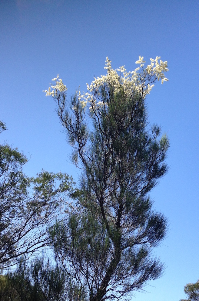
- Grevillea nematophylla
We saw a number of galvanised crossarms with intact insulators along the length of the track. They were clearly of a later vintage than when the telegraph line was put through in 1896. More than likely the infrastructure was used for telephone lines for many years until abandoned in favour of subterranean cables.
- Abandoned insulators
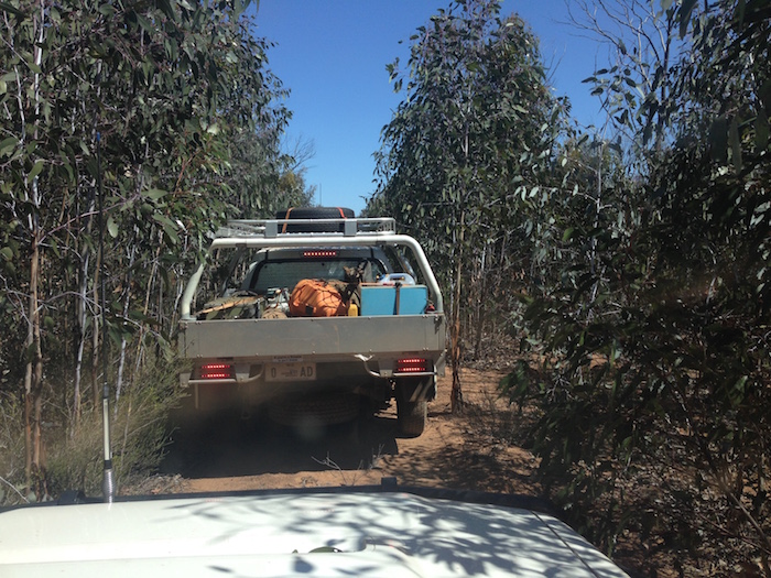
- Thick Eucalypt regrowth north of Mt Thirsty after a bush fire a few years back.
We exited the track onto the bitumen just north of Norseman. In my rear view mirror I noticed a sign.
- At the southern end of the Widgiemooltha Telegraph Track.
As I pulled up in some shade on the other side of the highway Scotty, who was behind me, radioed that I had a flat. At least it was a convenient spot for a wheel change.
After the wheel change we re-crossed the bitumen to do a few more kilometres of the Telegraph Track and then diverted into Norseman to refuel. Scotty had a previously arranged engagement and had to leave us here. His input into the trip was huge. His knowledge of the area made the trip much more interesting, and without the power of his Cruiser we might still be there extricating bogged vehicles.
- Scotty and his Cruiser.
The sun was low in the sky as we headed south out of Norseman to pick up the Balladonia Telegraph Track and old coach road. We had covered 104 kilometres of the Telegraph Track from its start at Widgiemooltha to its intersection with the Balladonia line. It took just over a day of driving.
The Balladonia Telegraph Track wound its way up to the top of a hill where there were several open areas that would have made a comfortable camp site but it was still a bit early. The descent from the top of the hill appeared to lead straight onto Lake Dundas. Obviously, after our experiences earlier in the day, we were a bit wary of salt lakes. As I reached the bottom of the hill the causeway across the salt came into sight and I radioed for the others to ‘come on down’.
- Crossing the northern end of Lake Dundas.
The Old Coach Road runs pretty much due east, with the occasional diversion around salt lakes, for 200 kilometres to Balladonia. Telstra have used this route for their fibre optic cable. In an interesting dichotomy, pioneer telegraph track has been revived some 120 years later to provide a vital link in Western Australia’s telecommunications infrastructure.
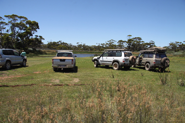
Dusk was fast approaching and no campsites were presenting. No cleared areas, no tracks off the main track. At 5.30 p.m. I spotted a natural, open area big enough to fit nine vehicles.
- Graham’s camp.
Greg had damaged the shock absorber mount on his Jimny and it had been removed at the lunch stop. Oil was leaking from his wheel bearing. Not looking good.
SUNDAY 15 NOVEMBER 2015
A FEW SPOTS OF RAIN FELL AT 4.00 A.M.
Greg did a further inspection of his wheel bearing and decided he needed to take the shortest route home. He headed back to Norseman just after 6.00 a.m. The bearing collapsed about 80 kilometres short of Southern Cross and he had to get wife Margot to pick him up, return to Perth, hook up a car trailer the next day and return to Southern Cross to retrieve the stricken Suzuki. He arrived home after 5.00 p.m. on the Monday.
Meanwhile, the other eight vehicles of the eastward drive were away by 6.30 a.m. There was no push for such an early departure but as everyone was packed and ready to go there was no reason to wait around. We still had 185 kilometres to go to the Balladonia Telegraph Station.
This track was fairly easy. There were quite a number of fallen trees, numerous washaways, and, thankfully, ‘chicken shoots’ around salt lakes.
- Scott scouted around in his Jimmy to find a bypass for many a salt lake and bog hole.
- The Balladonia-Norseman telegraph track.
- Poles across the lake.
- Ayesha watching Hayden and Harrison at Yadadina Rockhole.
- Graham’s Patrol at Yadadina Rockhole.
- Dusty, Joe and Graham lakeside.
- Salt lake.
The track is routed through Fraser Range Station. One of their watering points is Jeradilla Tank.
- Ducks on Jeradilla Tank. Lunch??
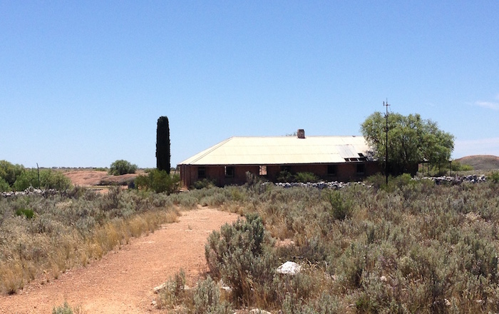
- Ruins at Jeradilla Tank.
The track ends at the Eyre Highway, a few hundred metres short of Balladonia Telegraph Station.
- Balladonia Telegraph Station
The Balladonia Telegraph Station is on Balladonia pastoral station and is fenced off to restrict access.
Twenty kilometres further on we turned off the highway into Afghan Rock.
The name of the rocks is derived from an incident in 1894 when three white men carting stores to Kurnalpi came upon a party of 19 Afghans with 104 camels camped at this place. The only water at the rocks was in a small crevice. One of the whites, Ted Knowles, got into an argument with an Afghan who had washed his feet in the water. Knowles shot one Afghan and wounded another who died a few days later at Albany. The man killed at the rock was buried there and as a result the rock subsequently came to be known as Afghan Rock.
- Graham and Ayesha.
- Ideal lunch spot.
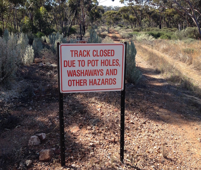
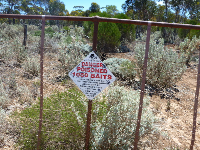
- These signs are common throughout the Great Western Woodland.
- Henry
From this oasis in the desert we picked up the Balladonia-Rawlinna Road and came out on the Eyre Highway very close to the turnoff to the Balladonia roadhouse. Time for a coffee and a look at the Skylab Museum.
- Balladonia Museum
- Camel at Balladonia Museum.
- Part of Skylab at the Balladonia Museum
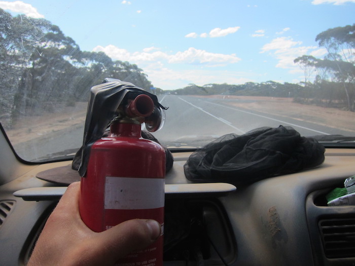
An hour after leaving Balladonia Roadhouse we pulled into a rest area and noticed smoke coming from Harrison’s Vitara. Joe got underneath and diagnosed a leaking rear main seal that was allowing oil to drip out and be blown over the hot exhaust. Though it was considered very unlikely that the vehicle could catch fire, Harrison had a fire extinguisher readily available.
- Fire Extinguiser in hand.
- There is a second spare wheel in there somewhere.
Apart from replacing a leaking rear main seal, Harrison needs to find the source of the dust ingress!
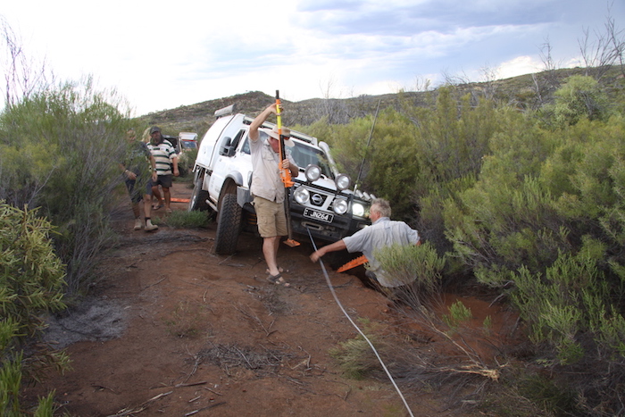
I had planned to deviate off the Eyre Highway and take a track to the south of the Dundas Hills into Norseman. Past Mt Norcott the track deteriorated badly. Time was getting short to make our planned campsite south of Norseman along the Balladonia telegraph track so it was an easy decision to turn the convoy around. As we were heading back to bitumen Joe slipped into a washaway. These are the photos Joe wanted deleted.
- Joe put the Patrol into a washaway.
- Kim and Scott retrieving Joe’s Patrol.
- Winching out the Patrol.
- Joe
After arrival in Norseman to refuel we met at the Caltex service station to decide what to do in the face of impending storms. The earlier rain we had experienced to the east had dissipated. We looked at the Bureau of Meteorology radar charts on the Internet and it was my opinion that there would be no rain to the west of Norseman (our intended route). After a group discussion I was presented with Hobson’s Choice (won’t happen again) and we elected to stay the night in Norseman. It was a great night for stargazing!
Graham’s comment:
“….everyone, other than Joe and Dusty, camped anyway in unpowered sites. Our two intrepid warriors, however, checked into chalets! With TV! And lounge suite! And big double bed! They probably had a spa bath as well!! And then went off to the pub!
Aah well…. It just shows – show some people some form of civilisation (even just a caravan park), and they fall apart.”
MONDAY 16 NOVEMBER 2015
EARLY DEPARTURE WAS NOW STANDARD and we drove out of Norseman before 7.00 a.m. Access to the road across Lake Cowan was not initially clear but after a short time casting around we picked up a track that led to the road and started our journey west.
- Leaving Norseman across Lake Cowan.
- Lake Johnston.
- Hyden Norseman Road.
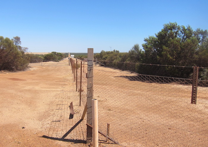
The State Barrier Fence delineates farmland, to the west, from the Great Western Woodland, to the east.
- State Barrier Fence.
- Barrier Fence
- Kim
To break the long drive home we stopped at King Rocks. The harvest walls are very effective on this rock.
Onwards to Mulkas Cave.
- King Rocks’ view.
- Weir at King Rocks.
- Harvest walls.
- Harvested water.
- Weir at King Rocks.
Mulkas Cave at the The Humps is 17 kilometres to the west of King Rocks.
- Mulkas Cave.
- Handprints.
- Handprints.
- Kim and Scott.
- Information on the legend of Mulka the Terrible.
- Inside the cave.
We stopped for lunch at Bendering Hall and then from Corrigin Mike, Jeff, Scott and Graham headed home through Quairading. Dusty and I returned via Brookton.
Dusty’s view:
“… this was a extremely well planned trip with great people. I walked (or drove) away with great knowledge and appreciation of what it took for the early settlers to build this telegraph line.”
- Scott’s method of post-trip underbody mud removal.
Participants
Kim – Holden Rodeo ute – stuck on rocks. Sidewall puncture.
Harrison – Suzuki Vitara Wagon – overheated, leaking rear main seal, lost a small section of left rear fairing.
Greg – Suzuki Jimny Wagon – smashed rim, shocky mount ripped out, collapsed wheel bearing (went home early).
Scott – Suzuki Jimny Wagon – two punctures (plugged).
Scotty – Toyota Landcruiser Trayback – no issues.
Jeff – Toyota Prado Wagon – no issues.
Dusty – Nissan 3.0L Patrol Wagon – bogged.
Graham – Nissan 4.2L Patrol Wagon – bogged.
Joe – Nissan 4.2L Patrol Ute – bogged twice.
Identification of Flora
Identification of plants, shrubs and trees from photographs only is very difficult and subject to misidentification. To make a positive identification flowers and/or leaves are required and, even then, it can be very difficult. I am grateful to Professor Alex George, AM, for identifying the flora named in this report
© Kim Epton 2015-2025
4135 words, 152 photographs
Photographs
Graham Howe
Cherrylyn Balayong
Mike Crane
Kim Epton
Jeff Anderson
Hayden Millar
Joe Natoli
Feel free to use any part of this document but please do the right thing and give attribution to adventures.net.au. It will enhance the SEO of your website/blog and Adventures.
See Terms of Use.


